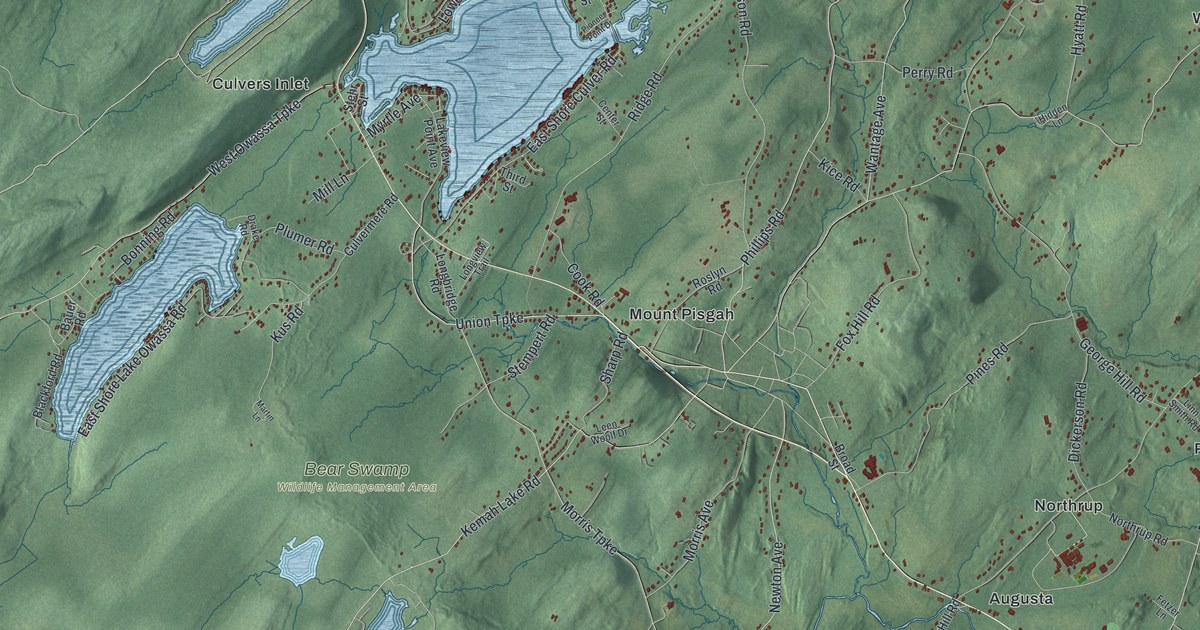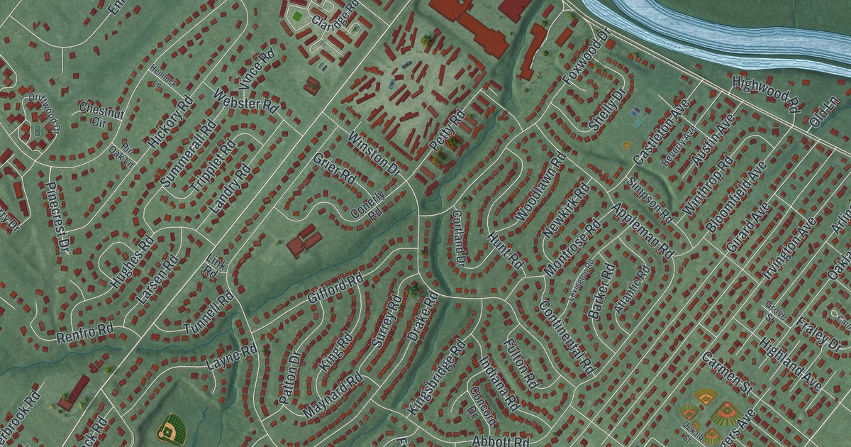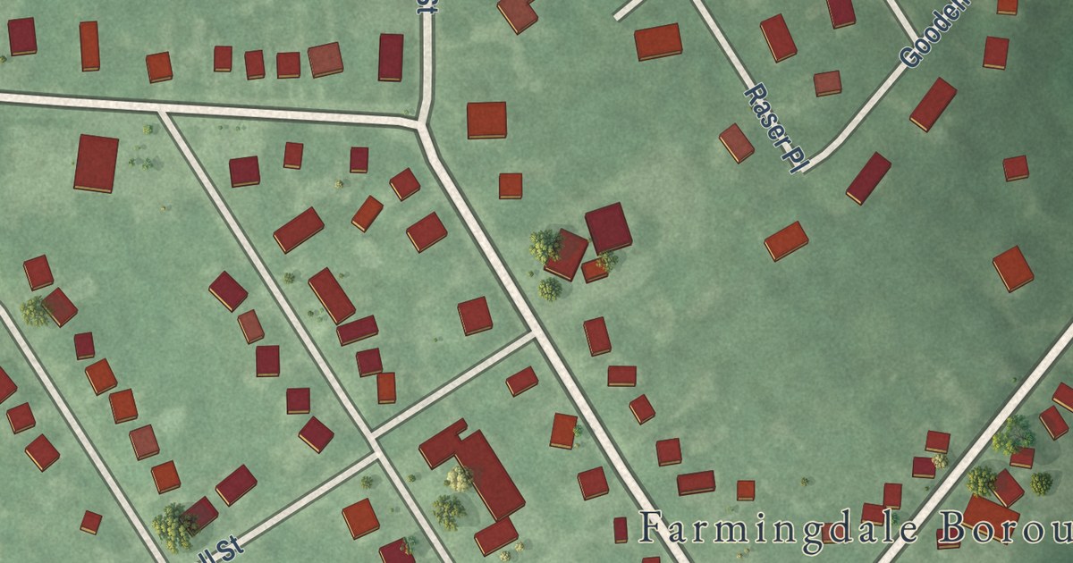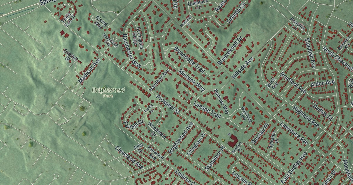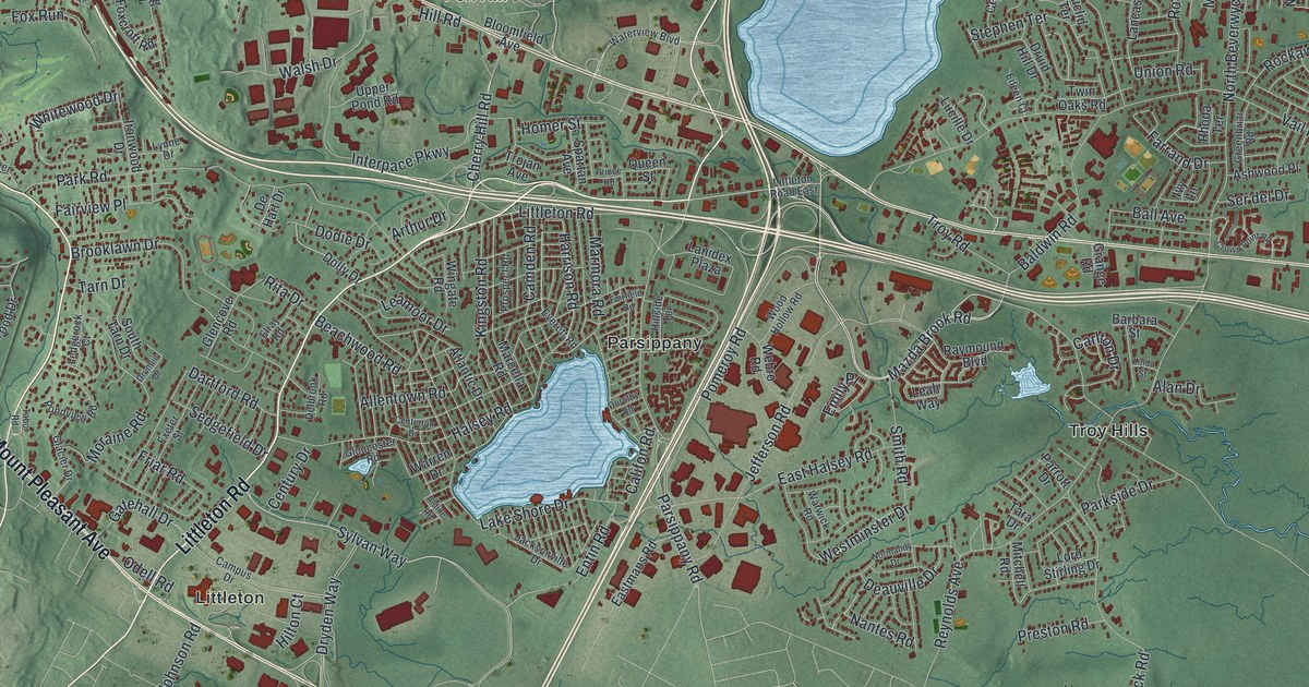
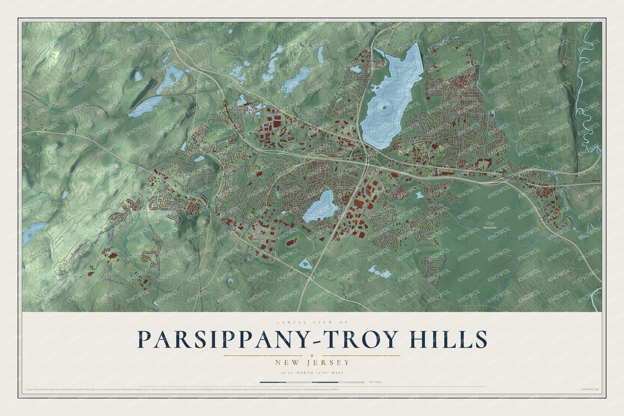
This beautifully detailed map of Parsippany-Troy Hills, New Jersey was created in 2026 using aerial imagery combined with modern topographical, census, street and landmark data. It’s a one-of-a-kind view of Parsippany-Troy Hills that combines accurate data with a vintage aesthetic. The map shows every building in its true location, many of the roads carry their names, and the shaded topographic relief shows the shape of the land.
Explore an aerial view of Parsippany-Troy Hills, New Jersey
On the map you’ll find Fox Hill, Lake Hiawatha, Littleton, Parsippany, Rainbow Lakes, and Mountain Way Park, along with Littleton Road, Parsippany Boulevard, Tabor Road, Mount Pleasant Avenue, Bloomfield Avenue, and more. If you look closely you can even find your house accurately drawn in its correct location. Zoom in on the preview to look for yours.
Did You Know?
The name Parsippany came from parsipanong, a Lenape word. It meant the place where a river winds through a valley. Hills was added to the old village name of Troy. Letters meant for this town kept going to Troy, New York, by mistake. The township split off from Hanover Township in 1928.
Take a closer look at the Parsippany-Troy Hills map
Names on this map
These names are printed on this map.
Places: Mountain Way Park, Troy Meadows, Fox Hill, Lake Hiawatha, Littleton, Parsippany, Rainbow Lakes and Troy Hills.
Streets and roads: Littleton Road, Parsippany Boulevard, Tabor Road, Mount Pleasant Avenue, Bloomfield Avenue, Smith Road, Sylvan Way, Intervale Road, Mazda Brook Road, Powder Mill Road, Cherry Hill Road, Harrison Road.
More street names, A to Z
Alan Drive, Alba Place, Aldine Road, Allentown Road, Alpine Road, Arnold Drive, Arthur Drive, Ashwood Place, Atlantic Drive, Averell Drive, Baldwin Road, Ball Avenue, Barbara Street, Beachwood Road, Bee Meadow Parkway, Bell Road, Beverly Street, Brooklawn Drive, Cairns Road, Califon Road, Camden Road, Campus Drive, Carlton Drive, Celtic Way, Centerton Drive, Central Avenue, Century Drive, Cobb Road, Cold Hill Road, Collins Road, Continental Road, Crown Point Road, Dartford Road, Deauville Drive, De Hart Drive, Delbrook Road, Dodie Drive, Dolly Drive, Dorothy Road, Druid Hill Drive, Drumlin Drive, Dryden Way, East Halsey Road, Eastmans Road, Edgefield Drive, Edwards Road, Eileen Court, Elray Road, Emerson Road, Emily Place, Entin Road, Euclid Terrace, Everett Road, Exeter Street, Fairfield Road, Fairview Place, Fanny Road, Farrand Drive, Ferndale Drive, Fernview Road, Flintlock Road, Forest Drive, Foxcroft Road, Fox Hill Road, Fox Run, Friar Road, Gatehall Drive, Gates Court, Glacier Drive, Glencove Road, Gloucester Road, Gov Chris Christie Drive, Grace Road, Granada Drive, Grange Road, Greenbank Drive, Greenbank Road, Greenbriar Road, Halsey Road, High Ridge Road, Hill Road, Hillside Terrace, Hilsinger Road, Hilton Court, Hoffman Avenue, Homer Street, Interpace Parkway, Ironwood Drive, Ivy Lane, Jacksonville Drive, Jefferson Road, Johnson Road, Kingston Road, Knoll Lane, Knoll Road, Koch Avenue, Lackawanna Avenue, Lake Drive, Lake Shore Drive, Lancaster Drive, Lanidex Plaza, Leah Way, Leamoor Drive, Ledgerock Court, Lenard Way, Linda Street, Littleton Road East, Long Ridge Road, Long Road, Longview Avenue, Lord Stirling Drive, Lowery Street, Lucille Drive, Lynne Drive, Madison Avenue, Main Drive, Manito Avenue, Manor Lane, Maple Avenue, Maple Lane, Mara Road, Marcella Road, Marmora Road, McD Boundary, Meadow Bluff Road, Midvale Avenue, Minnehaha Boulevard, Mitchell Road, Moraine Road, Morris Avenue, Mountain Way, Nantes Road, Navajo Avenue, New Fox Hill Road, New Road, Normandy Drive, North Beverwyck Road, Odell Road, Old Bloomfield Avenue, Old Dover Road, Oneida Avenue, Overlook Terrace, Park Road, Parkside Drive, Parrott Drive, Parsippany Road, Patriots Road, Perrine Road, Phillip Drive, Pitt Road, Pomeroy Road, Pondview Road, Preston Road, Prince Road, Prospect Road, Queen Street, Rainbow Trail, Raymound Boulevard, Ray Street, Reynolds Avenue, Rhoda Terrace, Ridgedale Avenue, Ridgewood Avenue, Rita Drive, River Drive, Rockaway Boulevard, Rockaway Place, Roosevelt Avenue, Rutgers Lane, Sagamore Road, Seasons Glen Drive, Sedgefield Drive, Seminole Avenue, Ser del Drive, Skyview Terrace, South Beverwyck Road, South Powder Mill Road, South Tarn Drive, Southwood Drive, Spartan Avenue, Springhill Drive, Stephen Terrace, Tara Drive, Tarn Drive, Tracy Lane, Trojan Avenue, Troy Meadow Road, Troy Road, Twin Oaks Road, Union Hill Road, Union Road, Upper Pond Road, Ute Avenue, Vail Road, Victoria Avenue, Walsh Drive, Warren Drive, Warwick Road, Waterloo Drive, Waterview Boulevard, Webro Road, West Hanover Avenue, Westminster Drive, Whitewood Drive, Wildwood Trail, Winding Way, Winfield Drive, Wingate Road, Woodcrest Road, Wood Hollow Road, Yacenda Drive.
See it on a wall
The Parsippany-Troy Hills map as an 18 x 24 inch print in a black frame.

This beautifully detailed map of Parsippany-Troy Hills makes an attractive addition to your office, library, or den, and it can even be used to teach children the geography and history of the area. It also makes a great gift for anyone with Parsippany-Troy Hills roots. When you’re done exploring, click here to get your copy of the Parsippany-Troy Hills map.