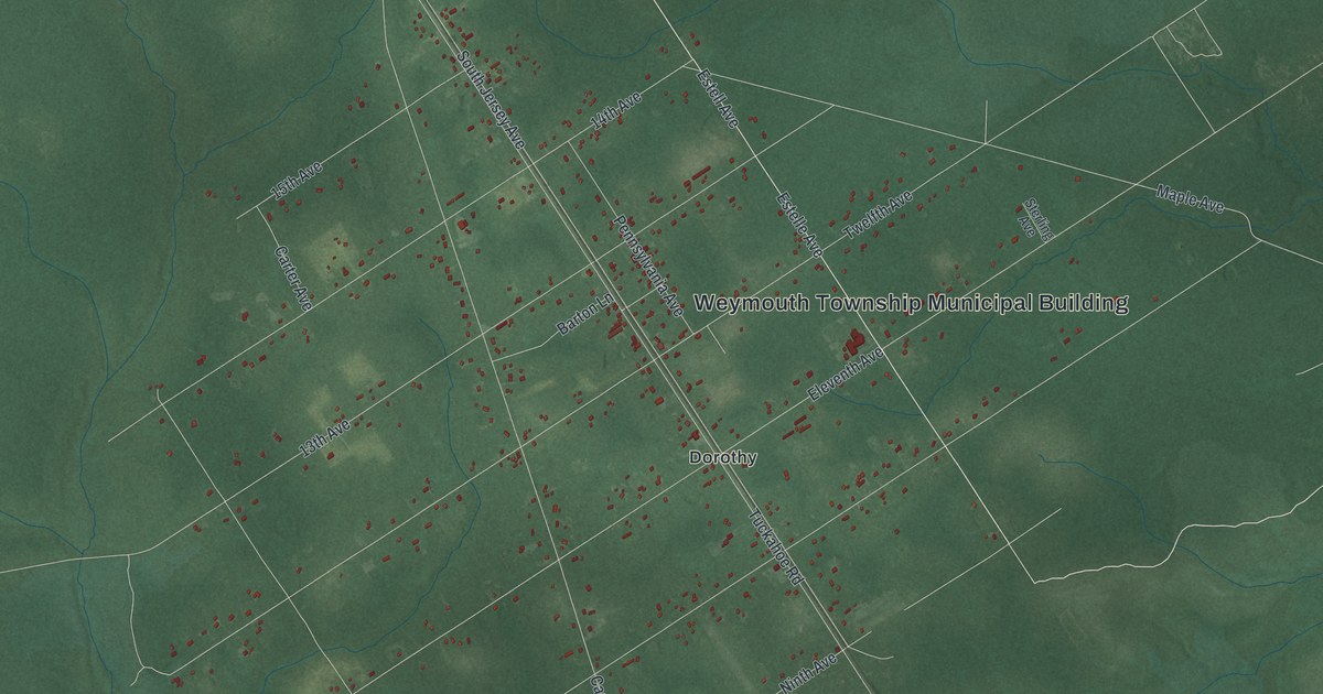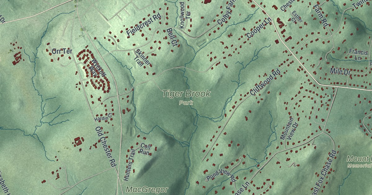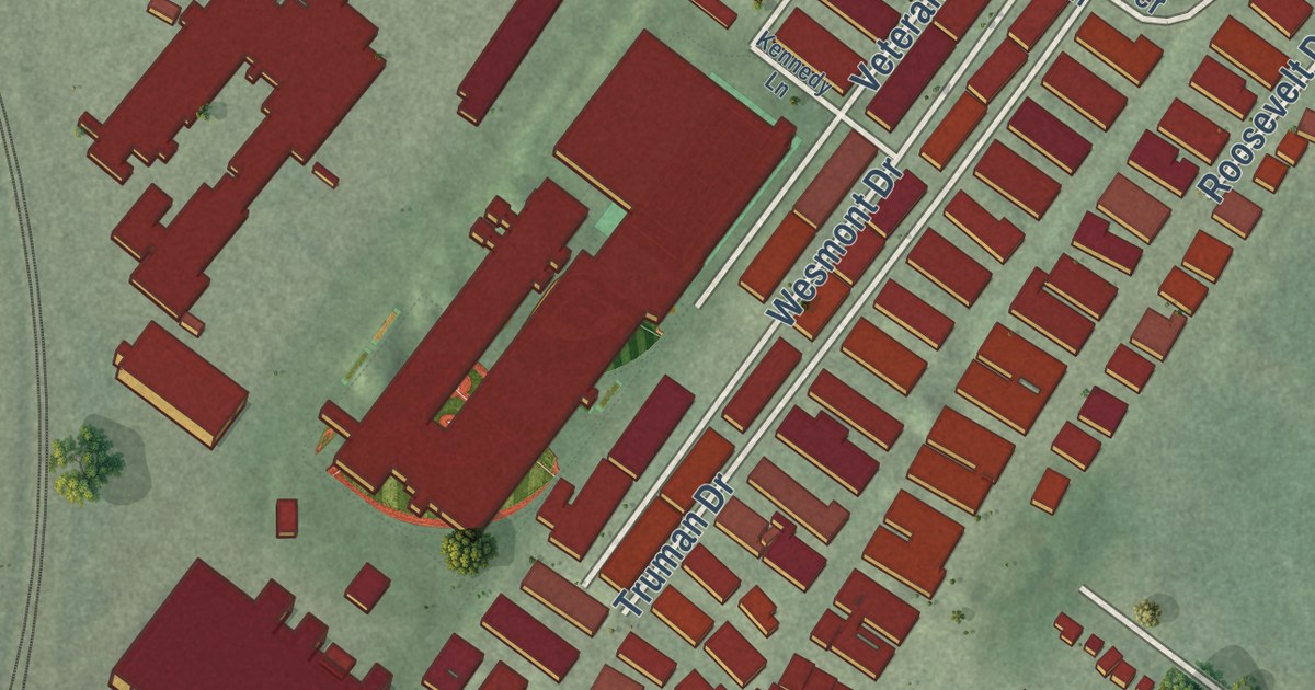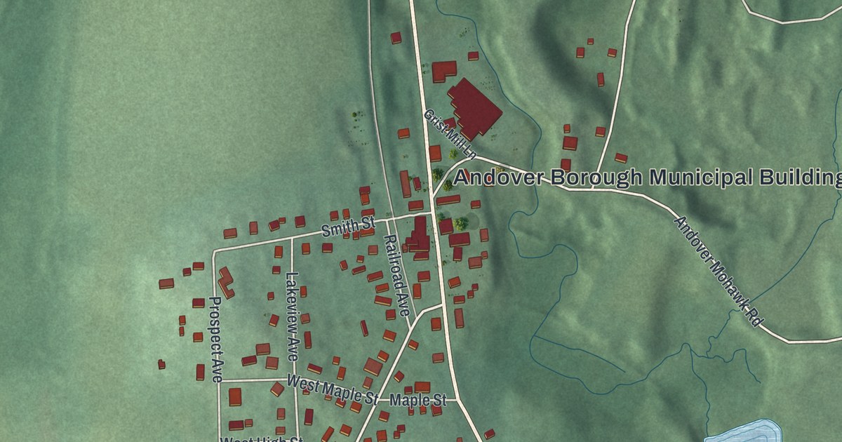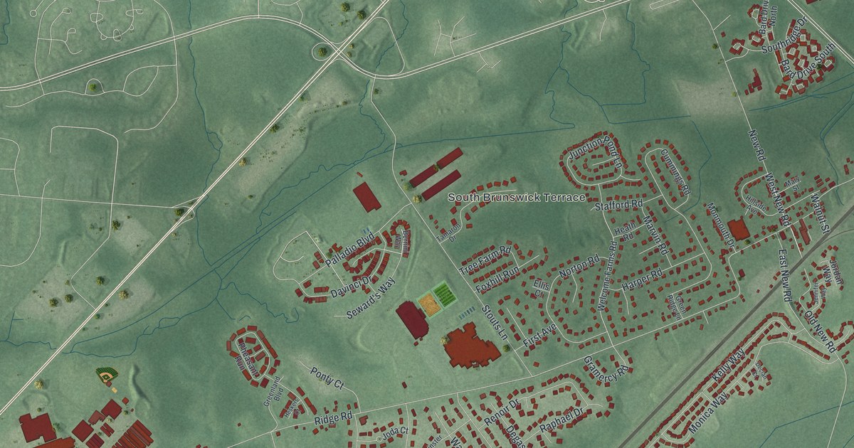
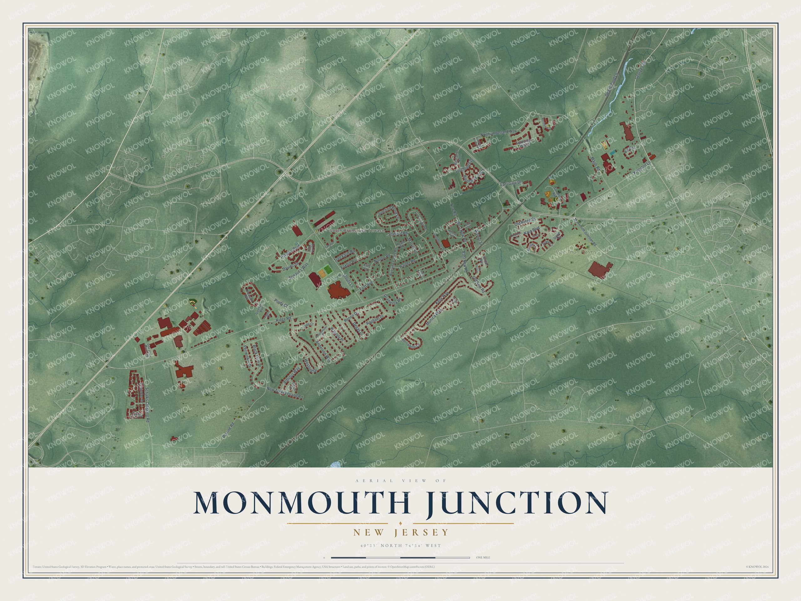
This beautifully detailed map of Monmouth Junction, New Jersey was created in 2026 using aerial imagery combined with modern topographical, census, street and landmark data. It’s a one-of-a-kind view of Monmouth Junction that combines accurate data with a vintage aesthetic. The map shows every building in its true location, many of the roads carry their names, and the shaded topographic relief shows the shape of the land.
Explore an aerial view of Monmouth Junction, New Jersey
On the map you’ll find Georges Road, New Road, Ridge Road, Black Gum Drive, Perrine Road, South Brunswick Terrace, and more. If you look closely you can even find your house accurately drawn in its correct location. Zoom in on the preview to look for yours.
Take a closer look at the Monmouth Junction map
Names on this map
These names are printed on this map.
Places: South Brunswick Terrace and Von Thun Farms.
Streets and roads: Georges Road, West New Road, Ridge Road, New Road, Black Gum Drive, Perrine Road, Major Road, Stouts Lane, Kara Boulevard, Kelly Way, Kingston Lane, Anderson Way.
More street names, A to Z
Allison Court, Arbutus Way, Bard Drive North, Bard Drive South, Bernadette Circle, Bernini Way, Cummings Road, Davinci Drive, Dawn Court, Deans Pond Lane, Declan Court, Degas Drive, Dow Jones Access Road, East Gate Drive, East New Road, Ellis Court, First Avenue, Foxhill Run, Garretson Avenue, Gramercy Road, Greenland Boulevard, Green Ridge Lane, Harper Road, Heather Court, Heath Road, Heskers Court, Hillside Avenue, Jennifer Way, Jill Court, Joann Court, Joda Court, Jordan Way, Junction Pond Lane, Larch Drive, Marvin Road, Mary Street, Monica Way, Monmouth Drive, Monmouth Junction Road, New Turkey Island Road, Northumberland Way, Northview Drive, Norton Road, Old New Road, Old Ridge Road, Palladio Boulevard, Periwinkle Drive, Pheasant Run, Ponty Court, Raphael Drive, Regal Drive, Renoir Drive, Schalks Crossing Road, Schindler Drive, Schindler Drive South, Seward's Way, Southridge Drive, Southridge Woods, Southridge Woods Boulevard, Stafford Road, Tamaron Drive, Tree Farm Road, Walnut Street, Waverly Place, Welcome Farms Road, Westminster Place, Wexford Drive.
See it on a wall
The Monmouth Junction map as an 18 x 24 inch print in a black frame.

This beautifully detailed map of Monmouth Junction makes an attractive addition to your office, library, or den, and it can even be used to teach children the geography and history of the area. It also makes a great gift for someone who left Monmouth Junction and still calls it home. When you’re done exploring, click here to get your copy of the Monmouth Junction map.