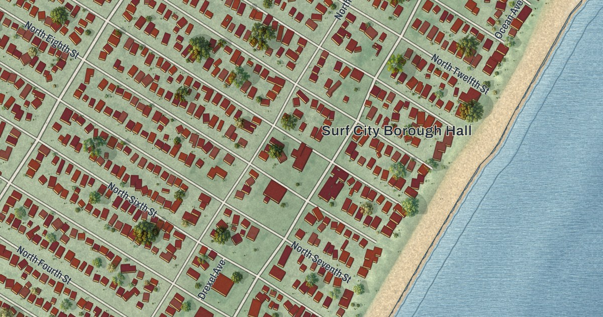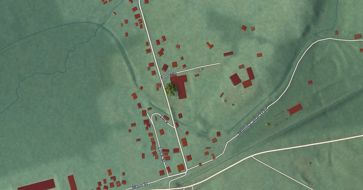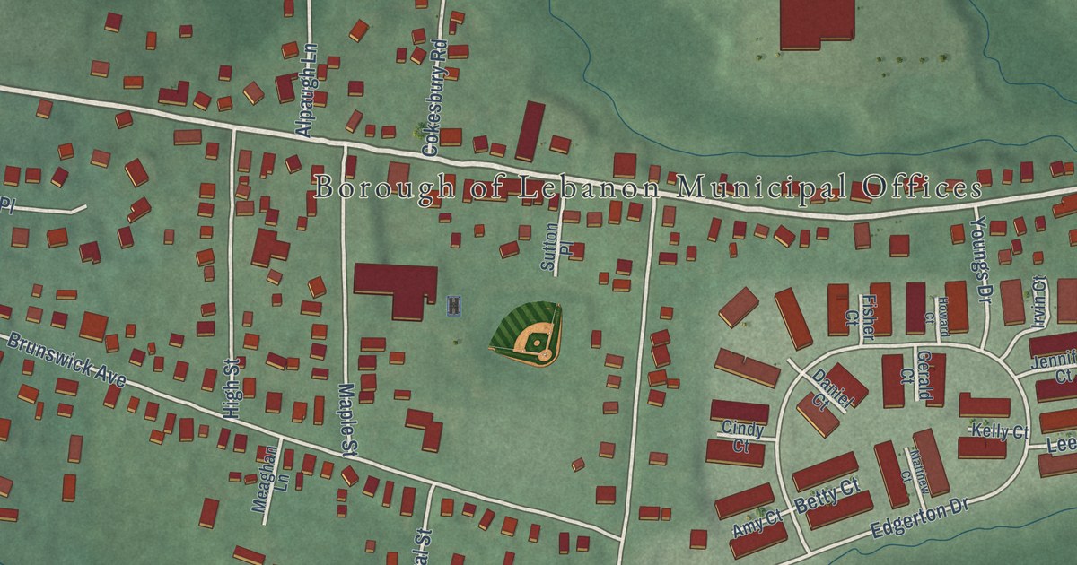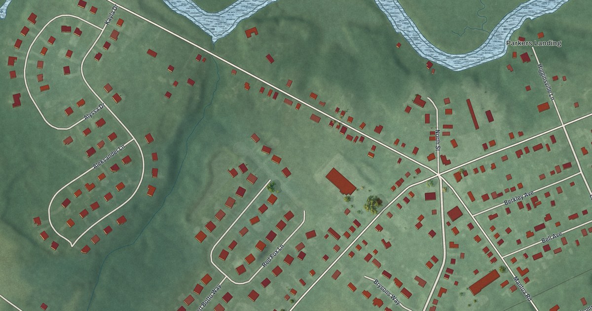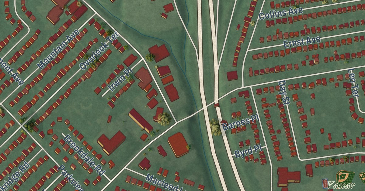
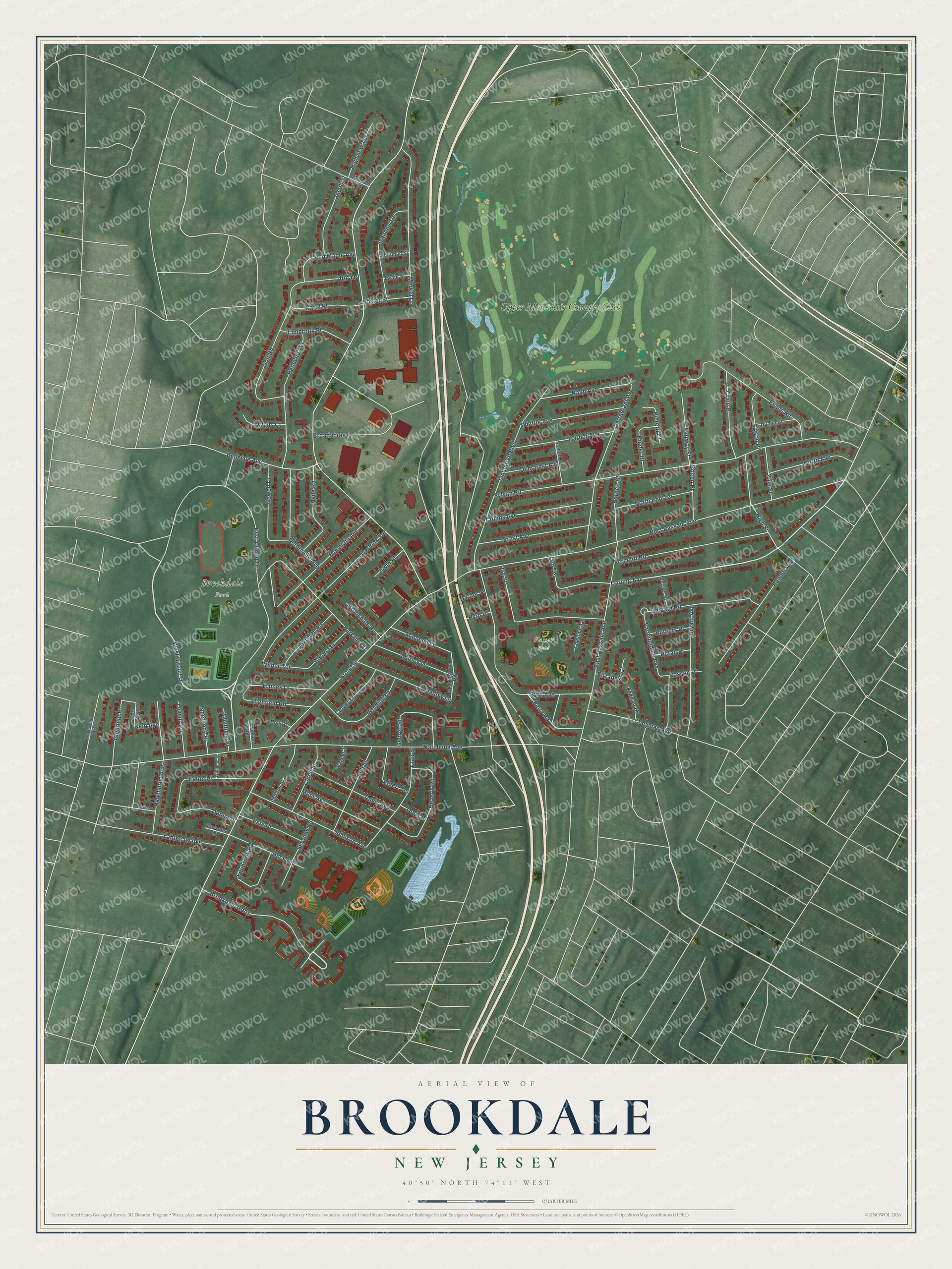
This beautifully detailed map of Brookdale, New Jersey was created in 2026 using aerial imagery combined with modern topographical, census, street and landmark data. It’s a one-of-a-kind view of Brookdale that combines accurate data with a vintage aesthetic. The map shows every building in its true location, many of the roads carry their names, and the shaded topographic relief shows the shape of the land.
Explore an aerial view of Brookdale, New Jersey
On the map you’ll find Brookdale Park, Vassar Field, Upper Montclair Country Club, and Brookdale Gdns, along with West Circuit Drive, Darling Avenue, Broad Street, West Passaic Avenue, Watchung Avenue, Sylvan Road, East Circuit Drive, Byrd Avenue, and more. If you look closely you can even find your house accurately drawn in its correct location. Zoom in on the preview to look for yours.
Did You Know?
Brookdale in Bloomfield was first called Stone House Plains. The name came from a big rock formation known as the stone house, plus the plains along the Yantecaw River. The rock was removed soon after 1802. In 1873, just before mail delivery began, residents voted to rename the place Brookdale.
Take a closer look at the Brookdale map
Names on this map
These names are printed on this map.
Places: Brookdale Park, Vassar Field and Upper Montclair Country Club.
Streets and roads: West Circuit Drive, Brookdale Gdns, Darling Avenue, Broad Street, West Passaic Avenue, Watchung Avenue, Sylvan Road, East Circuit Drive, Byrd Avenue, East Passaic Avenue, Lindbergh Boulevard, Garrabrant Avenue.
More street names, A to Z
Albert Terrace, Aldon Terrace, Alexander Avenue, Alyson Place, Andover Place, Barnes Place, Barnett Street, Bellevue Avenue, Bellevue Terrace, Bell Street, Beverly Road, Bolten Place, Boulder Place, Broadacres Drive, Brookdale Road, Bryant Avenue, Burnett Street, Byrd Place, Carol Place, Chestnut Terrace, Clair Street, Claremont Avenue, Clover Lane, Clubb Street, Coeyman Avenue, Collins Avenue, Craig Place, Dalebrook Road, Davidson Road, Davis Avenue, Day Street, Demarest Avenue, Donna Drive, Doris Place, Duane Place, Eaton Place, Elizabeth Court, Elmbrook Place, Emerson Terrace, Ernst Avenue, Este Place, Evans Road, Fairway Street, Farmingdale Avenue, Ferncliff Road, Foster Street, Garner Avenue, George Street, Glenfield Road, Golf Road, Haines Drive, Hawthorne Avenue, Hearthstone Road, Highfield Road, High Street, Highview Terrace, Holly Court, Huck Road, Hyde Road, Irwin Place, Ivanhoe Terrace, Jacob Street, Johnson Avenue, Kinder Drive, Leo Terrace, Lowell Terrace, Macleod Lane, Meadow Lane, Meisler Road, Merkel Drive, Mohr Avenue, Morley Lane, Mountain Avenue, Newell Drive, North Avenue, North End Terrace, Oakridge Road, Overlook Terrace, Parkview Drive, Parsons Court, Perry Road, Phillips Street, Pieretti Court, Poe Avenue, Raab Avenue, Red Maple Avenue, Reid Avenue, Reigate Road, Renner Avenue, Ridgewood Avenue, Rossen Place, Rutan Place, Rutgers Place, School Street, Skyview Road, Twain Street, Urma Place, Wagner Street, Wells Court, Whitman Street, Whittier Terrace, Whittle Avenue, Wilber Terrace, Williams Street, Winding Lane, Yale Street, Yantecaw Avenue.
See it on a wall
The Brookdale map as an 18 x 24 inch print in a black frame.

This beautifully detailed map of Brookdale makes an attractive addition to your office, library, or den, and it can even be used to teach children the geography and history of the area. It also makes a great gift for anyone with Brookdale roots. When you’re done exploring, click here to get your copy of the Brookdale map.