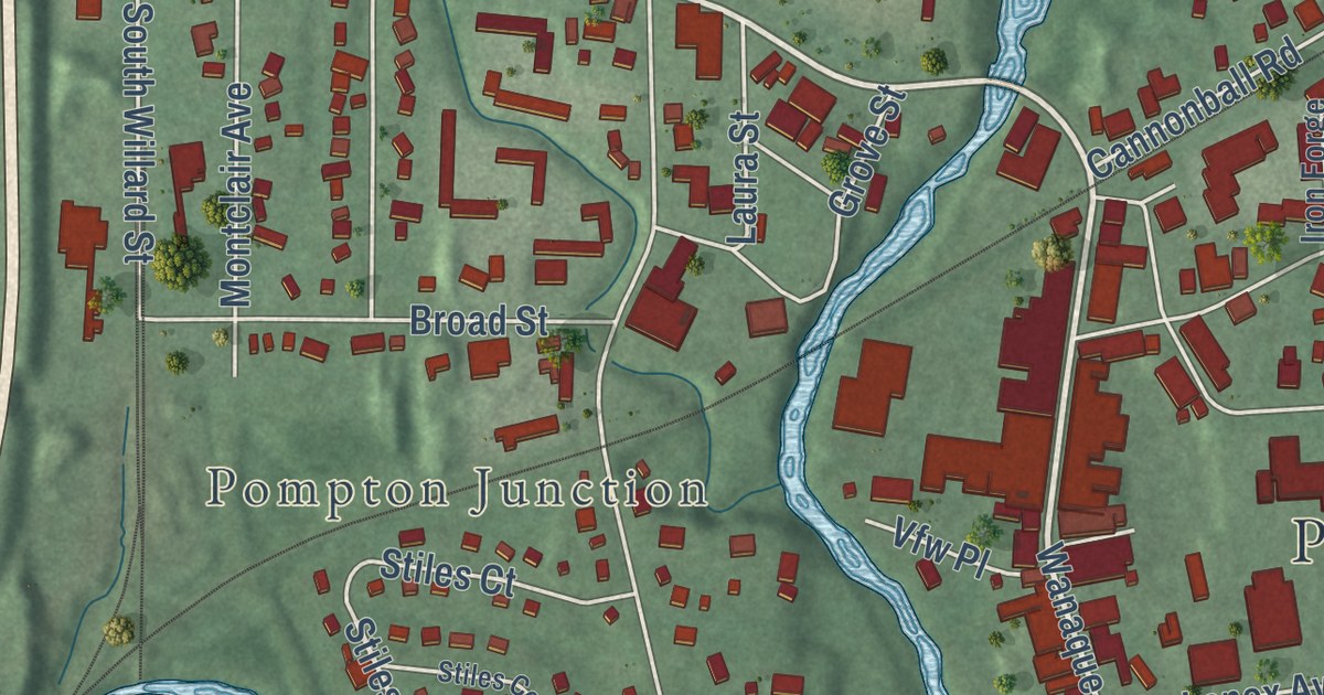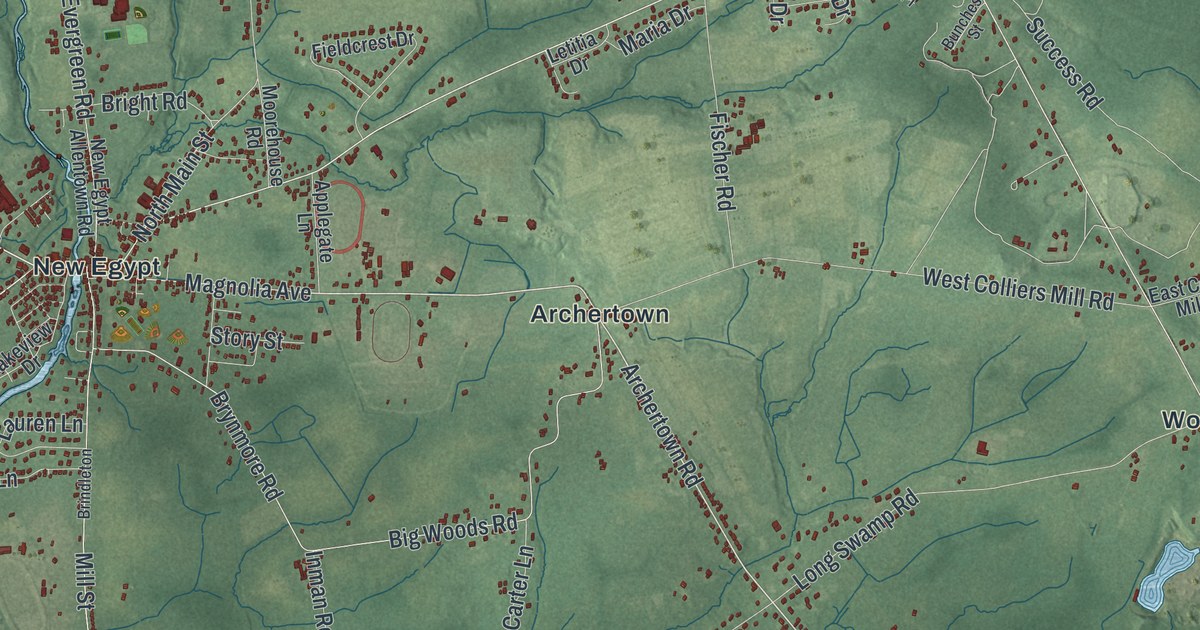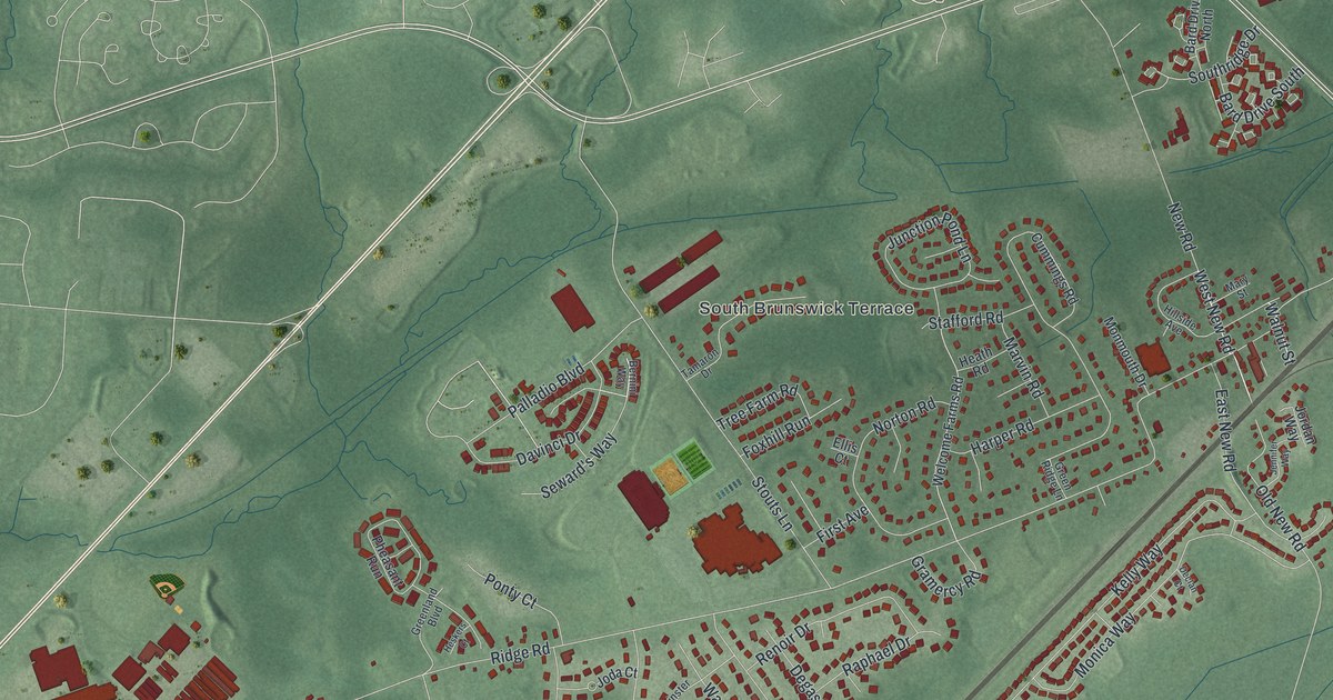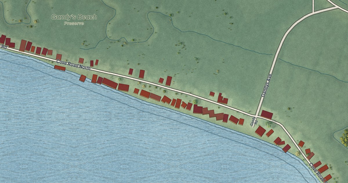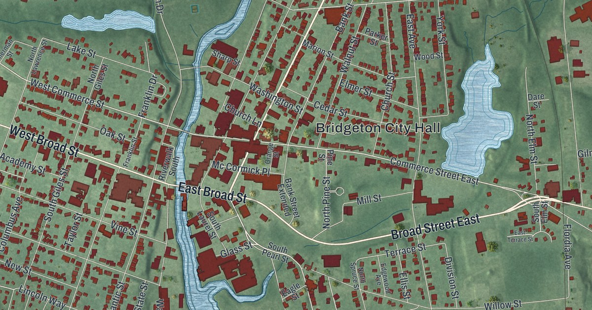
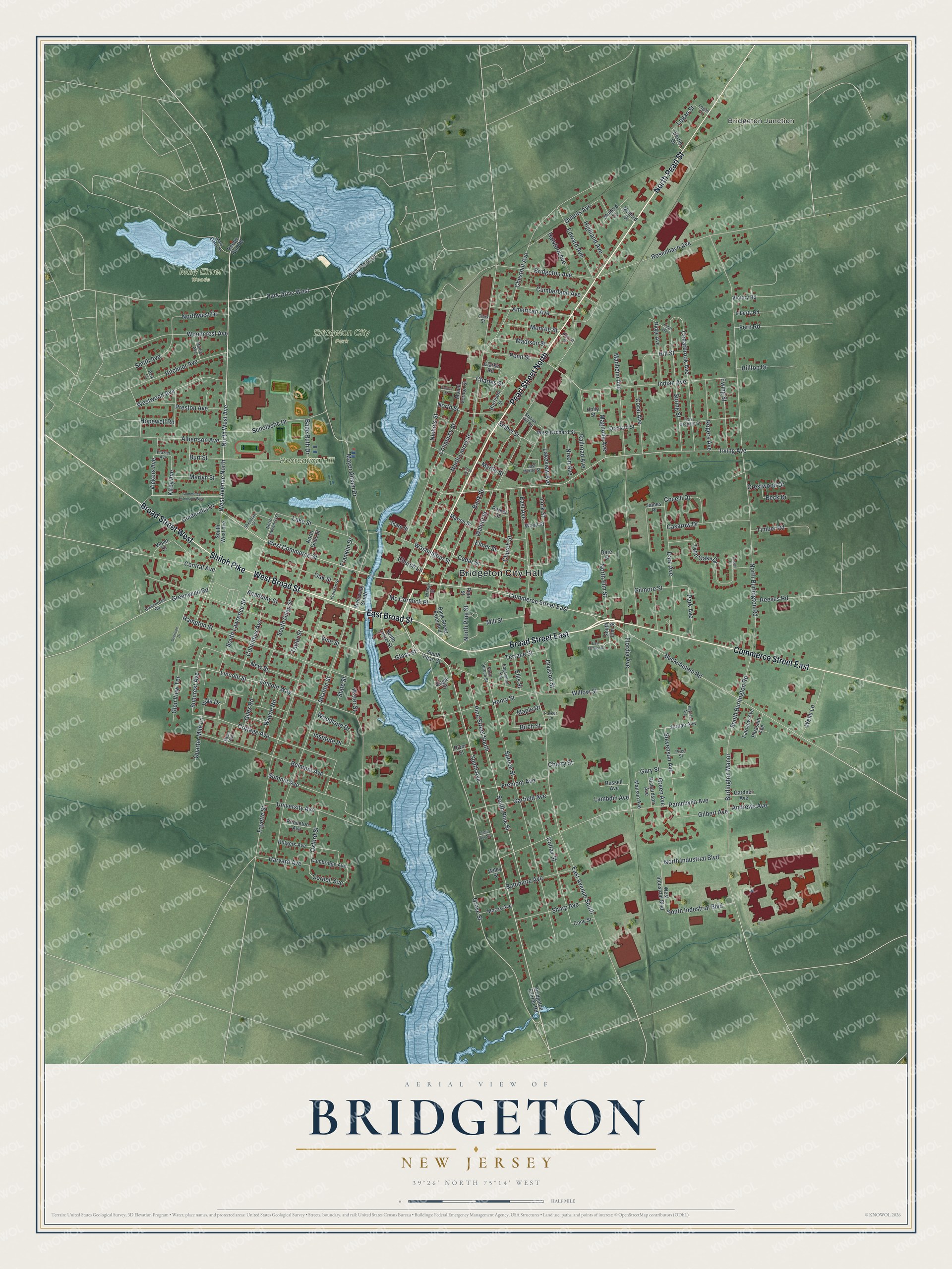
This beautifully detailed map of Bridgeton, New Jersey was created in 2026 using aerial imagery combined with modern topographical, census, street and landmark data. It’s a one-of-a-kind view of Bridgeton that combines accurate data with a vintage aesthetic. The map shows every building in its true location, many of the roads carry their names, and the shaded topographic relief shows the shape of the land.
Explore an aerial view of Bridgeton, New Jersey
On the map you’ll find Bridgeton City Hall, Bridgeton Junction, Bridgeton City Park, Mary Elmer Woods, and Recreation Hill, along with Broad Street East, East Broad Street, Commerce Street East, North Pearl Street, Pearl Street North, Broad Street West, West Broad Street, and more. If you look closely you can even find your house accurately drawn in its correct location. Zoom in on the preview to look for yours.
Did You Know?
Bridgeton took its name from a movable bridge over the Cohansey River. The bridge first opened in 1716 and carried travelers on the King’s Highway. The town was first called Bridge-towne. A printing error on Cumberland Bank papers around 1816 is believed to have changed the name to Bridgeton.
Take a closer look at the Bridgeton map
Names on this map
These names are printed on this map.
Places: Bridgeton City Hall, Bridgeton Junction, Bridgeton City Park, Mary Elmer Woods and Recreation Hill.
Streets and roads: Broad Street East, East Broad Street, Commerce Street East, North Pearl Street, Pearl Street North, Broad Street West, West Broad Street, Shiloh Pike, West Commerce Street, North West Avenue, West Avenue North, Buckshutem Road.
More street names, A to Z
Academy Street, Albertson Avenue, American Avenue, Andrews Avenue, Atlantic Street, Babe Ruth Drive, Baltimore Avenue, Bank Street, Bank Street Extended, Beck Drive, Beebe Run Road, Belmont Avenue, Bertini Drive, Birch Street, Bowentown Road, Bridgeton Avenue, Bridgeton Fairton Road, Burlington Manor, Burt Street, Cambridge Avenue, Casarow Drive, Caselli Court, Cedarbrook Avenue, Cedar Dell Avenue, Cedar Street, Central Avenue, Charles Street, Cherry Street, Chestnut Avenue, Church Lane, Church Street, Cinderella Drive, Clarke Road, Clark Street, Cocelli Drive, Cohansey Street, Colfax Street, Columbus Avenue, Commerce Extension West, Cone Street, Coral Avenue, Cornell Avenue, Cottage Avenue, Crestwood Drive, Cumberland Avenue, Dare Avenue, Dare Street, Division Street, Dubois Avenue, Eagle Street, East Avenue, East Avenue South, East Myrtle Street, East Orchard Street, East Terrace Street, Edgewood Avenue, Edward Avenue, Ellis Street, Elmer Street, Ewing Street, Fairview Avenue, Falcon Street, Fayette Street, Fern Road, Flordia Avenue, Franklin Drive, Franklin Street, Frazier Avenue, Fremont Avenue, Gardner Avenue, Garfield Avenue, Gary Street, Gilbert Avenue, Giles Road, Gilmore Street, Glass Street, Glen View Terrace, Green Avenue, Greenwich Road, Grove Street, Halsford Avenue, Hampton Street, Harrison Street, Harvard Avenue, Haynes Avenue, Henry Street, Highland Avenue, Hill Street, Hilltop Drive, Hitchner Avenue, Holly Street, Hopewell Road, Horton Street, Indian Avenue, Institute Place, Irving Avenue, James Place, Jordan Avenue, Kings Way, Kirby Avenue, Lake Street, Lakeview Avenue, Lambdin Avenue, Liberty Road, Lincoln Street, Lincoln Way, Logan Lane, Logan Street, Madison Street, Magnolia Avenue, Manheim Avenue, Manson Avenue, Maple Drive, Marion Street, Marlyn Street, Mary Elmer Drive, Mather Avenue, Mayor Aitken Drive, Mc Cormick Place, Mead Avenue, Mill Street, Monroe Street, Morris Avenue, Mount Vernon Street, Mulford Court, Mulford Drive, Myrtle Street, New Street, Nichols Street, Nixon Avenue, North Burlington Road, North Elm Street, North Giles Street, North Industrial Boulevard, North Laurel Street, North Lawrence Street, North Pine Street, North Spruce Street, North Street, Northwest Drive, Oak Street, Orange Street, Orchard Street, Overlook Drive, Oxford Street, Pamphylia Avenue, Park Avenue, Park Drive West, Parker Lane, Parker Street, Park Lane, Penn Street, Pine Street, Pine Street South, Pleasant Avenue, Preston Avenue, Price Street, Princeton Avenue, Quarter Mile Lane, Railroad Avenue, Reeves Road, Richardson Avenue, Ridge Avenue, River Street, Riverwalk South, Rogers Avenue, Rosenhayn Avenue, Rose Street, Russell Avenue, Rutgers Avenue, Scholastic Drive, Seibel Street, Sharp Avenue, Sharp Street, Sherman Street, Smith Avenue, South Avenue, South Burlington Road, South Elm Street, South Giles Street, South Industrial Boulevard, South Laurel Street, South Lawrence Street, South Pearl Street, South Pine Street, South West Avenue, Spring Street, Spruce Street, State Street, Station Hill Road, Stevenson Avenue, Summit Avenue, Suncrest Avenue, Taylor Street, Terrace Street, Timber Road, Twin Oaks Drive, University Avenue, Vickers Avenue, Victory Road, Villa Drive, Vine Street, Violet Drive, Walnut Street, Washington Street, Water Street, Wayne Road, Wells Lane, West Industrial Boulevard, West Orchard Street, West Park Drive, Westwood Avenue, Wiley Street, Willow Street, Woodcrest Avenue, Woodland Drive, Wood Street, York Street.
See it on a wall
The Bridgeton map as an 18 x 24 inch print in a black frame.

This beautifully detailed map of Bridgeton makes an attractive addition to your office, library, or den, and it can even be used to teach children the geography and history of the area. It also makes a great gift for someone who left Bridgeton and still calls it home. When you’re done exploring, click here to get your copy of the Bridgeton map.