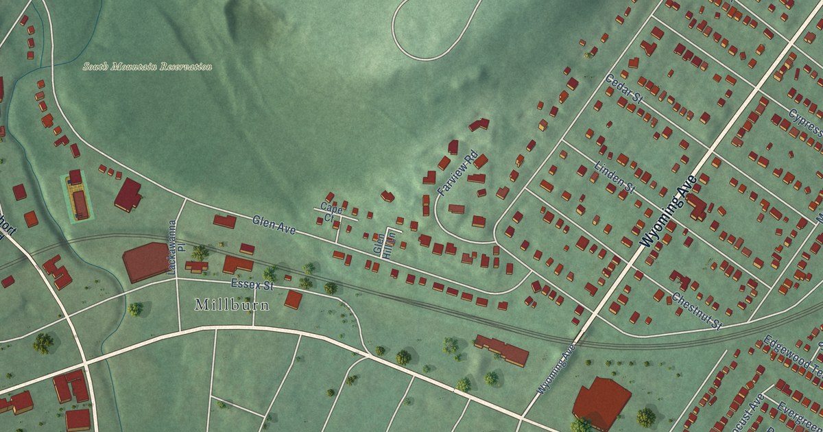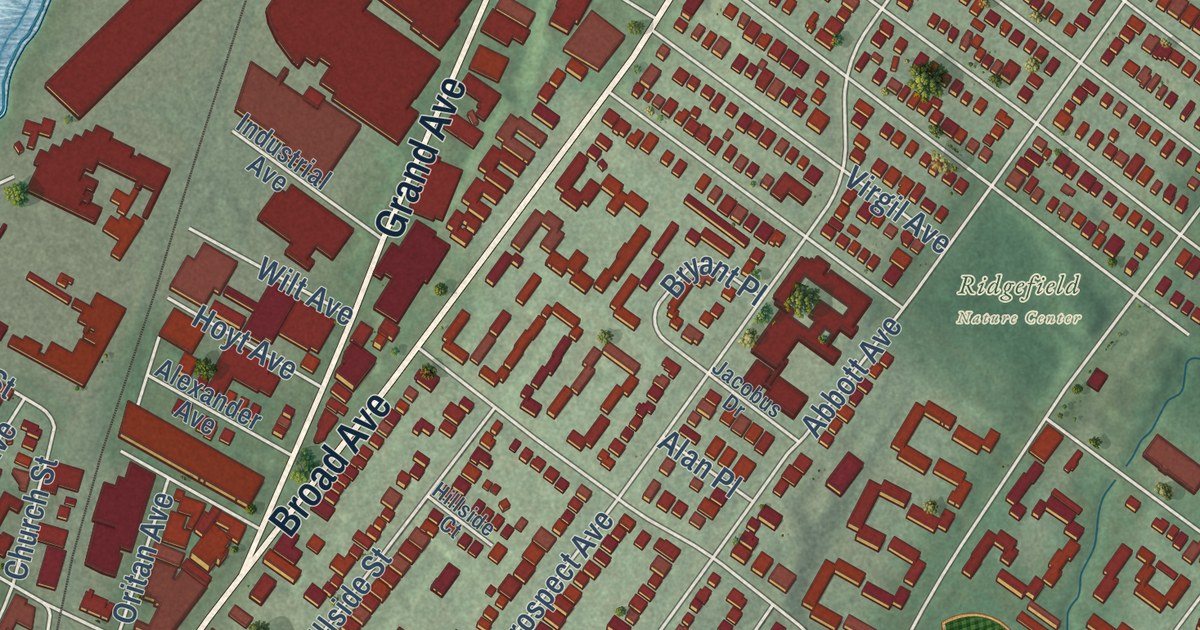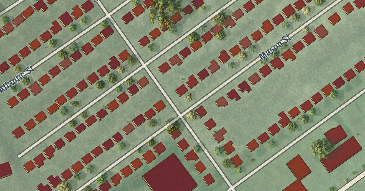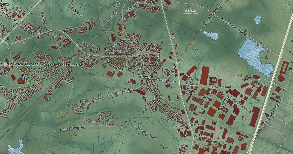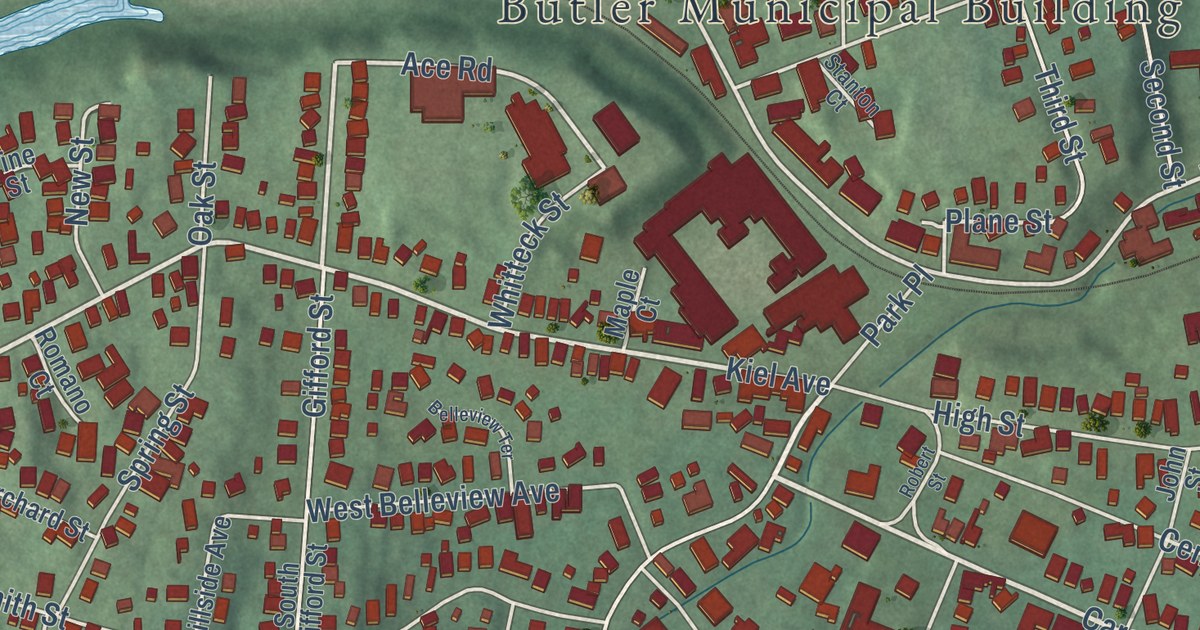
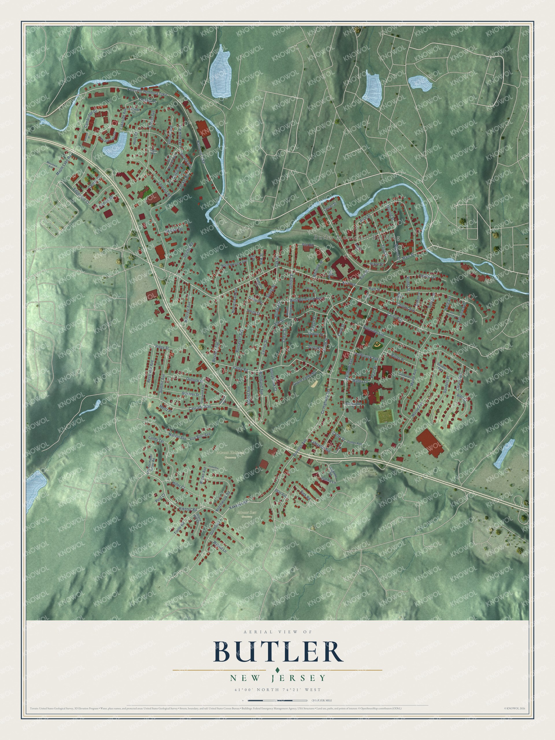
This beautifully detailed map of Butler, New Jersey was created in 2026 using aerial imagery combined with modern topographical, census, street and landmark data. It’s a one-of-a-kind view of Butler that combines accurate data with a vintage aesthetic. The map shows every building in its true location, many of the roads carry their names, and the shaded topographic relief shows the shape of the land.
Explore an aerial view of Butler, New Jersey
On the map you’ll find Butler Municipal Building, Butler Forest Preserve, Mount Holiness Cemetery, Mount Calvary Cemetery, and Mount Rest Cemetery, along with Boonton Avenue, Cascade Way, Center Court, Kiel Avenue, Kikeout Road, Carey Avenue, Valley Road, and more. If you look closely you can even find your house accurately drawn in its correct location. Zoom in on the preview to look for yours.
Did You Know?
Butler was first called West Bloomingdale. In 1868 a factory for the Newbrough Hard Rubber Company rose here along the Pequannock River. The growing town took the name Butler in 1881, honoring Richard Butler, who had become owner of the rubber company.
Take a closer look at the Butler map
Names on this map
These names are printed on this map.
Places: Butler Municipal Building, Mount Holiness Cemetery and Mount Rest Cemetery.
Streets and roads: Boonton Avenue, Cascade Way, Center Court, Kiel Avenue, Kikeout Road, Carey Avenue, Valley Road, Plane Street, Gifford Street, Von Blitz Avenue, Ace Road, Hamburg Turnpike.
More street names, A to Z
Adalist Avenue, Arch Street, Argonne Road, Argus Avenue, Aten Court, Barrister Drive, Bartholdi Avenue, Beech Street, Belleview Avenue, Belleview Terrace, Brook Street, Brown Avenue, Butler Place, Cambridge Drive, Cedar Street, Cemetery Lane, Center Street, Central Avenue, Charles Haber Junior Road, Cleary Avenue, Cook Street, Cotter Avenue, Cotter Street, County Highway 511, Currie Avenue, Dean Avenue, Debow Terrace, Decker Avenue, Decker Road, Edgemere Court, Elm Street, Excelsior Place, Fairview Avenue, George Street, Gormley Lane, Grace Valley Road, Greenwood Avenue, Guenter Street, Halina Lane, Hasbrouck Avenue, High Street, Hillcrest Avenue, Hiller Court, Hillside Avenue, Holly Court, Homestead Avenue, Jericho Road, John Street, Kakeout Road, Lafayette Avenue, Lafayette Street, Lakeside Avenue, Lakeview Avenue, Laurel Street, Leonard Road, Lincoln Road, Lundy Terrace, Mabey Lane, Main Street, Maple Court, Maple Lake Road, Marion Avenue, Mertz Place, Morse Avenue, Mountain Avenue, Myrtle Avenue, New Street, North Western Avenue, Notchwood Road, Oak Street, Ogden Terrace, Orchard Street, Outlook Street, Park Place, Paterson-Hamburg Turnpike, Pearl Place, Pine Street, Poplar Street, Post Court, Reservoir Avenue, Richard Court, Ridge Street, Robert Street, Rodda Street, Romano Court, Roosevelt Avenue, Roosevelt Boulevard, Sanders Place, Scott Street, Second Street, Siek Road, Smith Street, South Gifford Street, Spring Street, Stanton Court, Stonybrook Court, Stony Hill Court, Struble Avenue, Summit Avenue, Sunset Avenue, Tallman Court, Terrace Avenue, Terrace Lake Drive, Third Street, Tintle Road, Van Buren Avenue, Van Houten Avenue, Walnut Lane, Ward Avenue, Washington Street, West Belleview Avenue, Western Avenue, Whitteck Street, William Street, Woodland Avenue.
See it on a wall
The Butler map as an 18 x 24 inch print in a black frame.

This beautifully detailed map of Butler makes an attractive addition to your office, library, or den, and it can even be used to teach children the geography and history of the area. It also makes a great gift for anyone who grew up in Butler or moved away. When you’re done exploring, click here to get your copy of the Butler map.