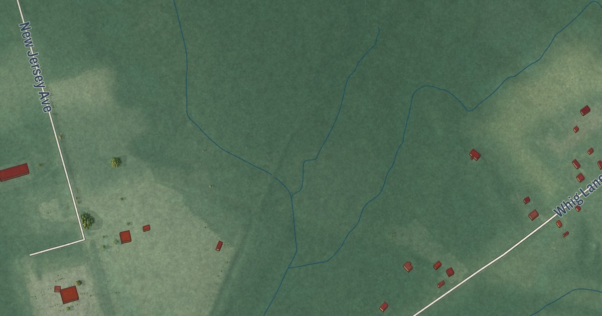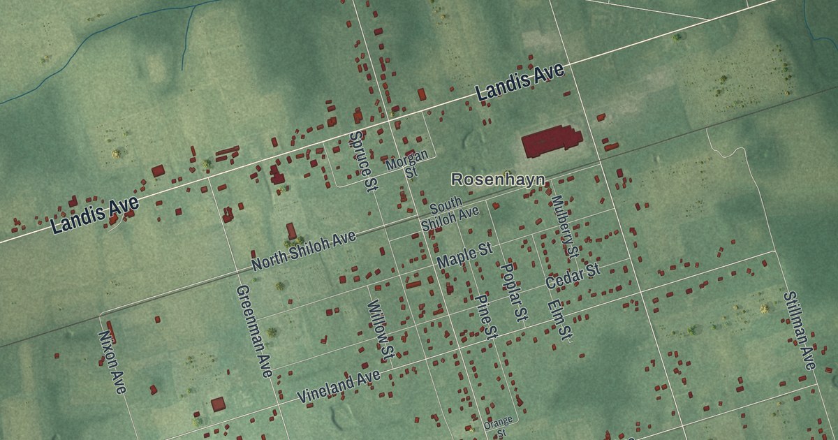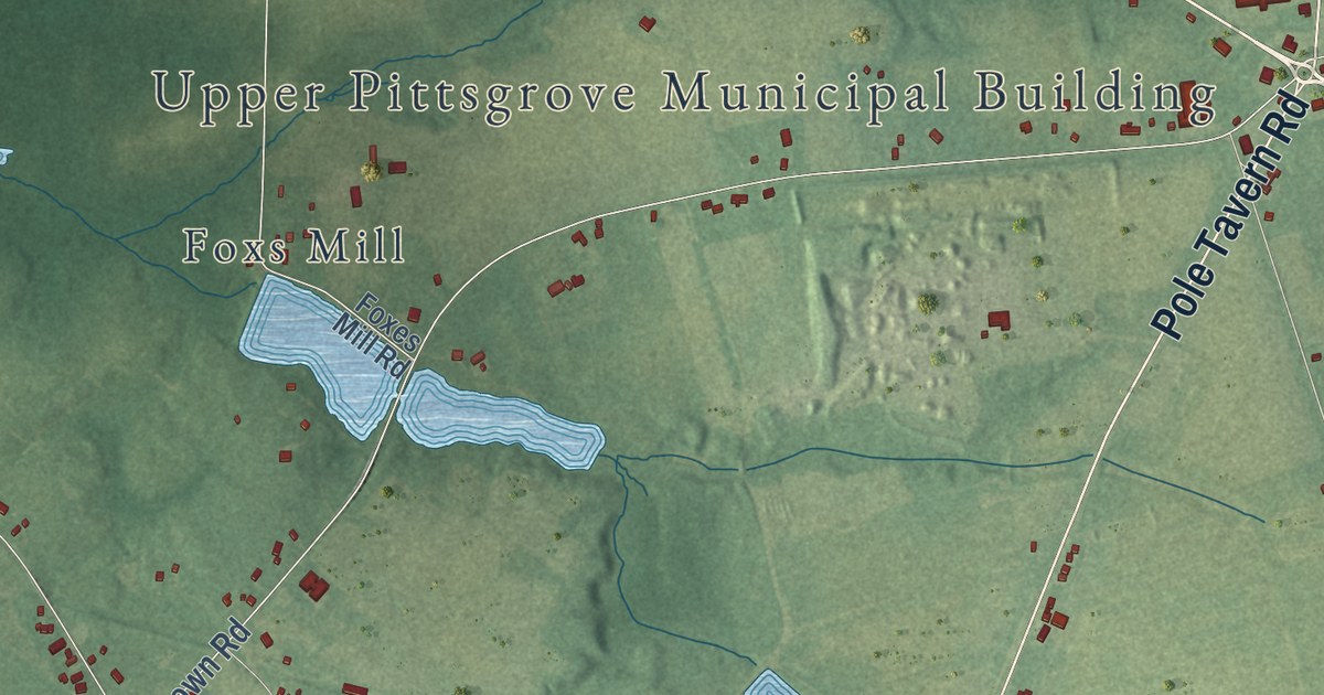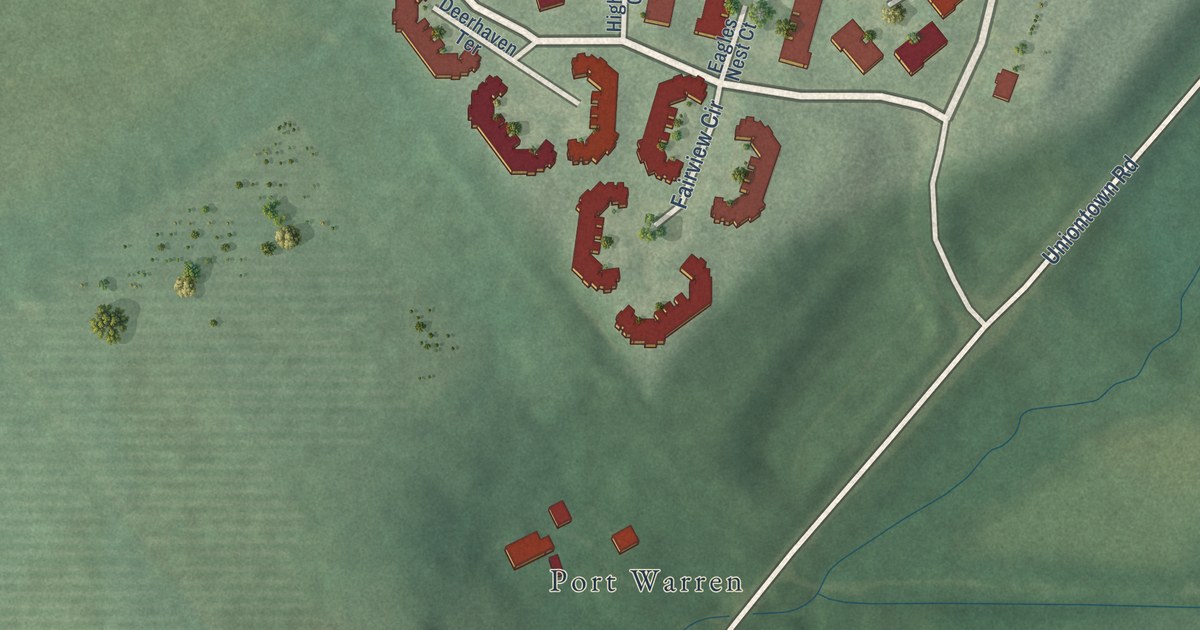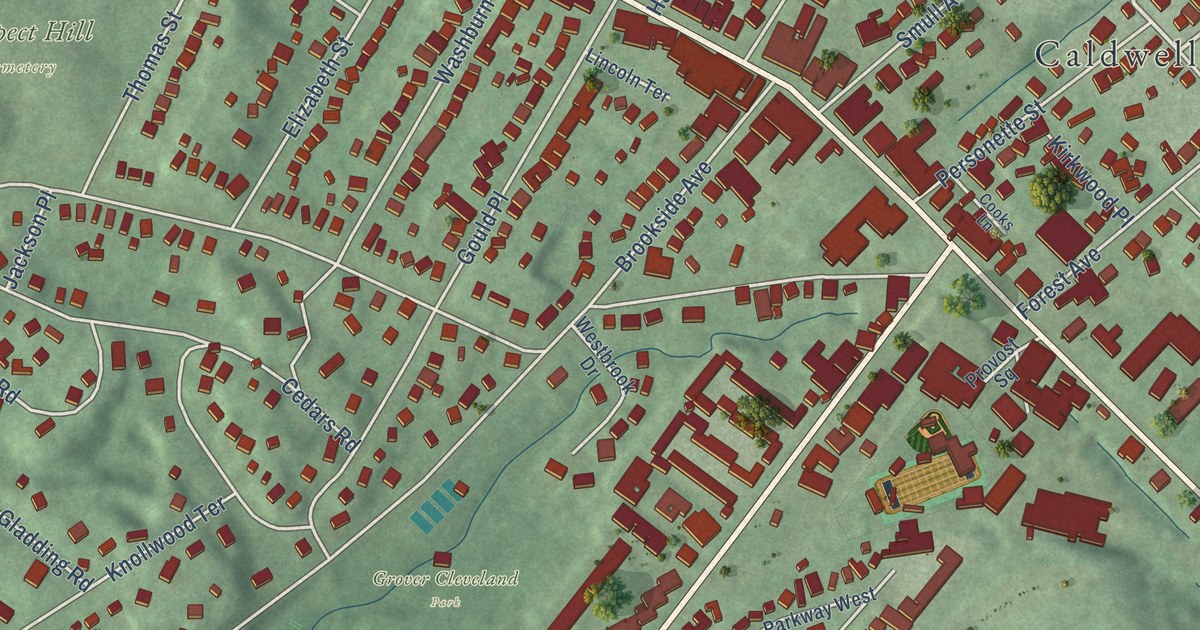
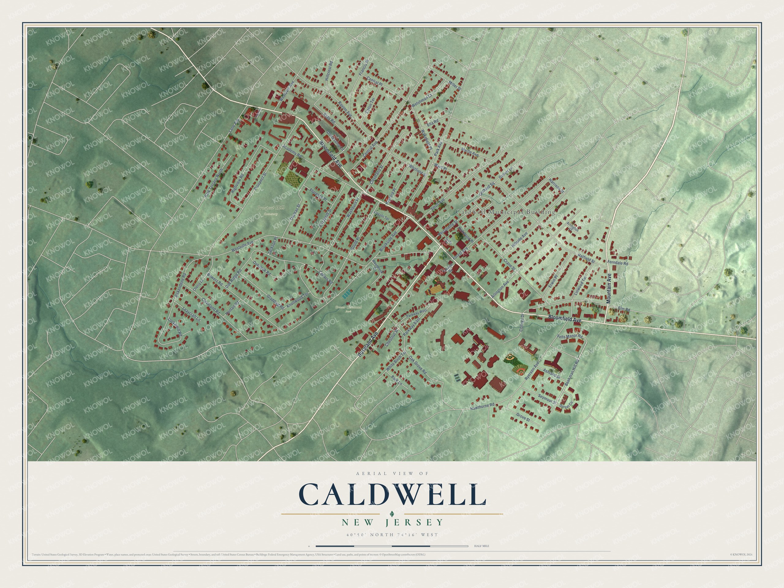
This beautifully detailed map of Caldwell, New Jersey was created in 2026 using aerial imagery combined with modern topographical, census, street and landmark data. It’s a one-of-a-kind view of Caldwell that combines accurate data with a vintage aesthetic. The map shows every building in its true location, many of the roads carry their names, and the shaded topographic relief shows the shape of the land.
Explore an aerial view of Caldwell, New Jersey
On the map you’ll find Caldwell Municipal Building, Grover Cleveland Park, Prospect Hill Cemetery, Kiwanis Oval, and Orchard Square, along with Bloomfield Avenue, Roseland Avenue, Mountain Avenue, Beekman Hill Road, Westville Avenue, Brookside Avenue, Hatfield Street, and more. If you look closely you can even find your house accurately drawn in its correct location. Zoom in on the preview to look for yours.
Did You Know?
On March 18, 1837, Grover Cleveland was born in Caldwell. His father, Richard Falley Cleveland, served as minister of the town’s Presbyterian church. The church’s old manse, where he was born, is now a museum. He later served twice as President of the United States.
Take a closer look at the Caldwell map
Names on this map
These names are printed on this map.
Places: Caldwell Municipal Building, Grover Cleveland Park and Prospect Hill Cemetery.
Streets and roads: Bloomfield Avenue, Roseland Avenue, Mountain Avenue, Beekman Hill Road, Orchard Square, Westville Avenue, Brookside Avenue, Hatfield Street, Prospect Street, Park Avenue, Central Avenue, Forest Avenue.
More street names, A to Z
Academy Road, Arlington Avenue, Arlington Court, Ashland Street, Birkendene Road, Bowers Road, Caton Terrace, Cedars Road, Central Place, Cherry Lane, Chestnut Street, Cleveland Road, Cleveland Street, College Drive, Cooks Lane, Crane Street, Domessina Lane, Dorset Circle, Elizabeth Street, Ella Road, Elm Road, Erwin Place, Espy Road, Fells Manor Road, Ferndale Road, Florence Place, Francis Place, Gladding Road, Gould Place, Grover Lane, Grove Street, Hanford Place, Hanlan Road, Harrison Street, Hawthorne Road, Highview Road, Hillcrest Road, Hillside Avenue, Jackson Place, Kirkwood Place, Knollwood Terrace, Lane Avenue, Leaycraft Lane, Lincoln Terrace, Linwood Terrace, Lockward Road, Magnolia Lane, Miller Street, Myrtle Avenue, Oak Grove Road, Oak Ridge Road, Overlook Road, Park Lane, Park Terrace North, Parkway East, Parkway West, Personette Street, Provost Square, Ravine Avenue, Ryerson Avenue, Seymour Street, Smull Avenue, Thomas Street, Wakefield Place, Ward Place, Washburn Place, Welshman Court, Westbrook Drive, Westover Avenue, White Birch Terrace, Whitfield Street.
See it on a wall
The Caldwell map as an 18 x 24 inch print in a black frame.

This beautifully detailed map of Caldwell makes an attractive addition to your office, library, or den, and it can even be used to teach children the geography and history of the area. It also makes a great gift for anyone with Caldwell roots. When you’re done exploring, click here to get your copy of the Caldwell map.