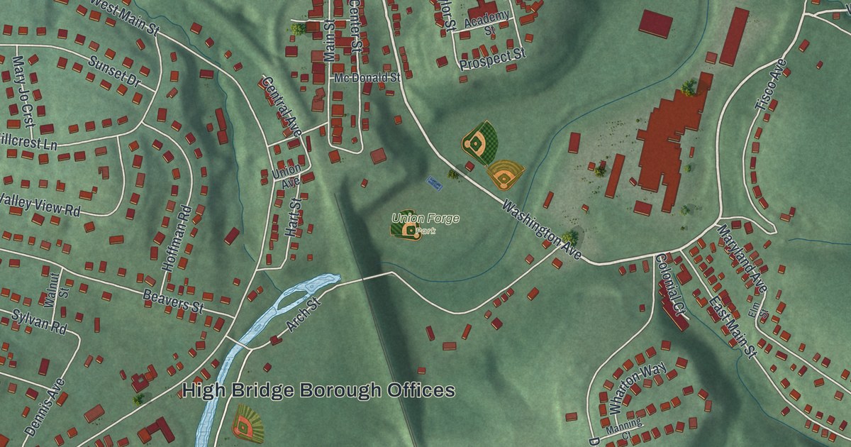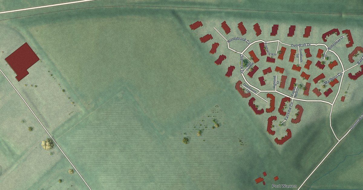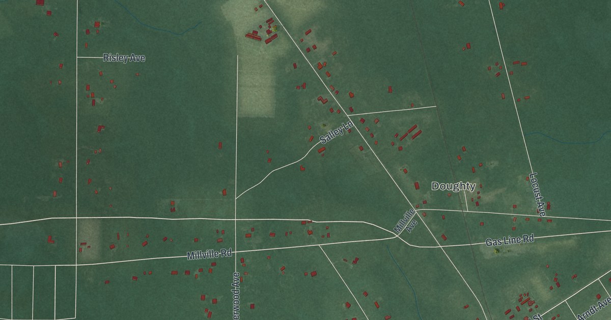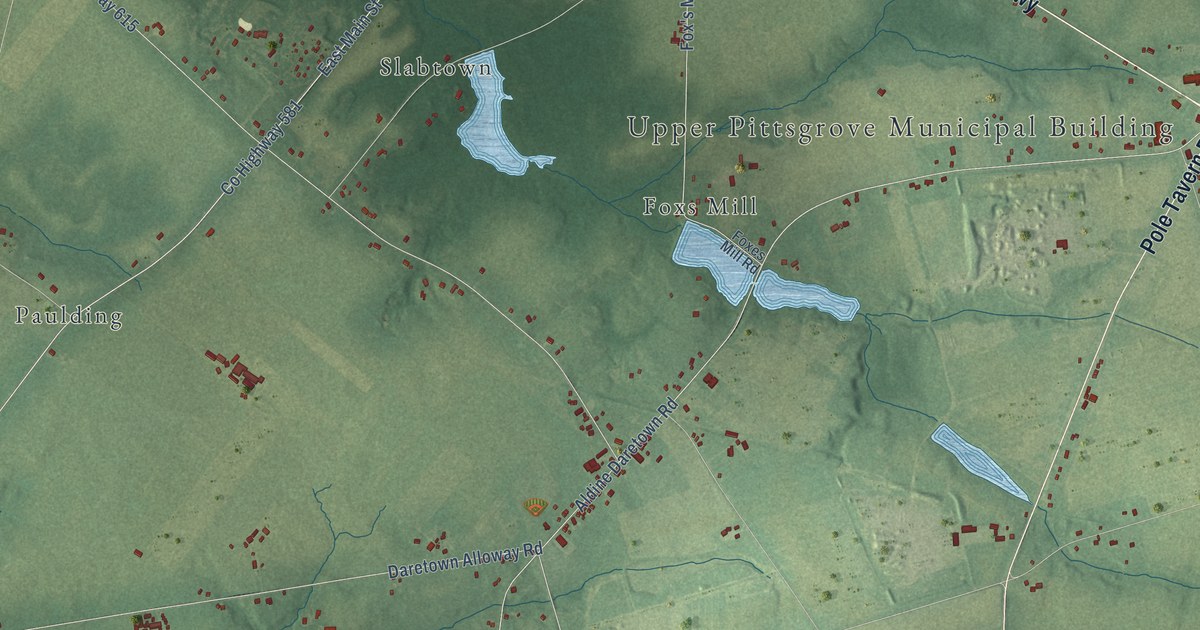
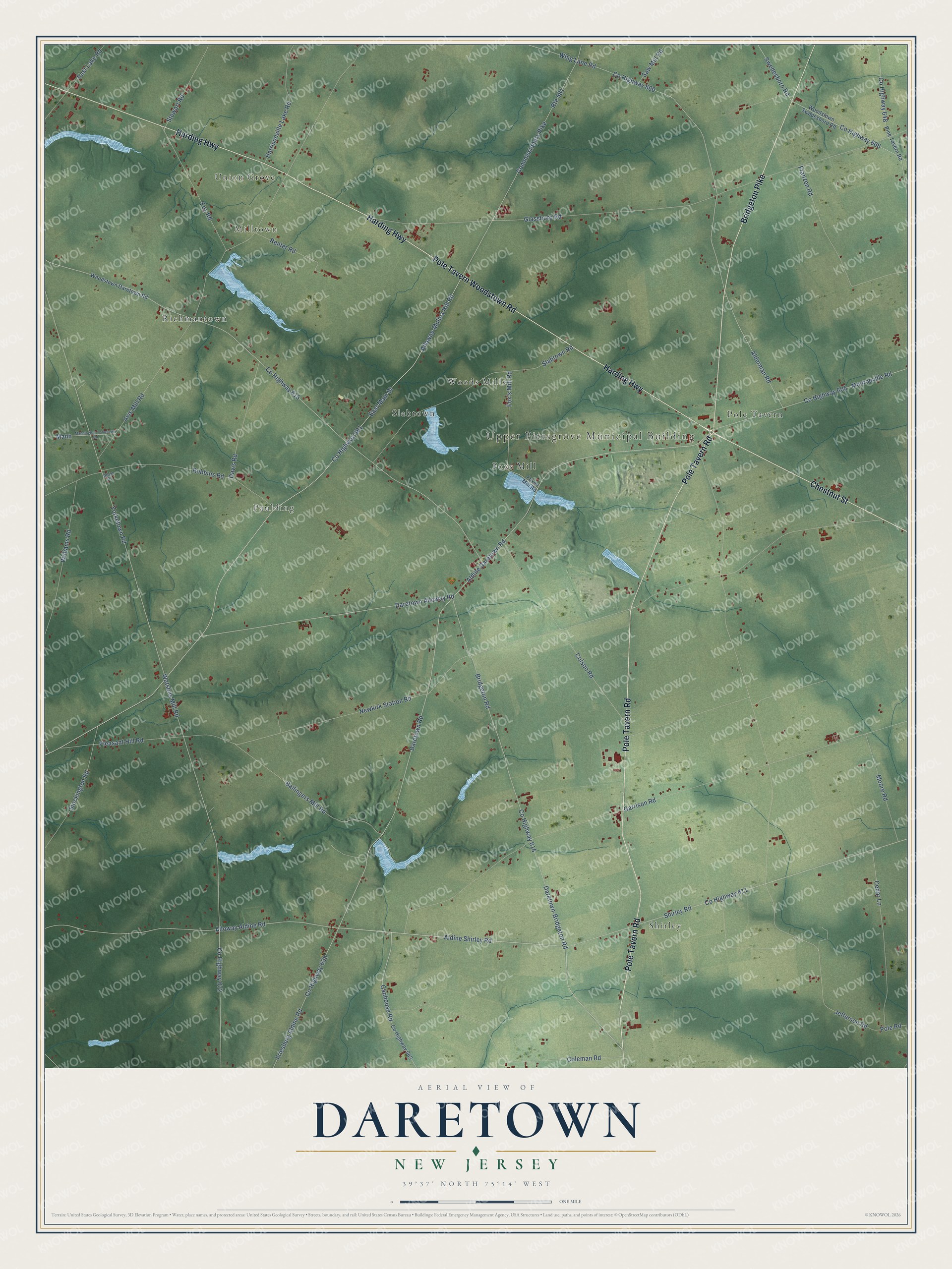
This beautifully detailed map of Daretown, New Jersey was created in 2026 using aerial imagery combined with modern topographical, census, street and landmark data. It’s a one-of-a-kind view of Daretown that combines accurate data with a vintage aesthetic. The map shows every building in its true location, many of the roads carry their names, and the shaded topographic relief shows the shape of the land.
Explore an aerial view of Daretown, New Jersey
On the map you’ll find Upper Pittsgrove Municipal Building, Milltown, Paulding, Foxs Mill, Shirley, Richmantown, Union Grove, Woods Mills, Slabtown, and Pole Tavern, along with Harding Highway, Pole Tavern Road, and more. If you look closely you can even find your house accurately drawn in its correct location. Zoom in on the preview to look for yours.
Did You Know?
From Internet Archive: "Elwell established a distillery at Daretown a number of years ago, which, since his decease in 1873, has been owned by his widow, and operated by Jacob Wies."
Daretown is a community in Salem County.
Take a closer look at the Daretown map
Names on this map
These names are printed on this map.
Places: Upper Pittsgrove Municipal Building, Milltown, Paulding, Foxs Mill, Shirley, Richmantown, Union Grove, Woods Mills, Slabtown and Pole Tavern.
Streets and roads: Harding Highway, Pole Tavern Road, Bridgeton Pike, Pole Tavern Woodstown Road, Chestnut Street, County Highway 581, Daretown-Bridgeton Road, Aldine Shirley Road, Fox Road, Commissioners Pike, County Highway 611, County Highway 635.
More street names, A to Z
Alderman Road, Aldine Daretown Road, Allen Drive, Alloway-Mulica Hill Road, Alloway Aldine Road, Avis Mill Road, Ballingers Mill Road, Bridgeton Road, Canhouse Road, Cedar Lane, Coleman Road, Colson Road, County Highway 604, County Highway 614, County Highway 615, County Highway 648, County Highway 660, County Highway 663, County Highway 666, County Highway 672, Daretown Alloway Road, Daretown Road, Davis Road, East Lake Road, East Main Street, Fox's Mill Road, Foxes Mill Road, Franzen Road, Friesburg Aldine Road, Garrison Road, Glassboro Road, Harrisonville Lake Road, Jefferson Road, Mann, Mannington-Yorketown Road, Monroeville Road, Moore Road, Newkirk Station Road, Pine Tavern Road, Pleasant Hill Road, Pole Road, Renter Road, Robbins Road, Route 581, Saw Mill Road, Shirley Road, Slabtown Road, Stewart Road, Stockington Road, Swedesboro Road, Watsons Mill Road, Whig Lane Road, Williams Road, Woodstown Daretown Road, Woodstown Swedesboro Road, Yorketown Road.
See it on a wall
The Daretown map as a framed print. Swipe for more.


This beautifully detailed map of Daretown makes an attractive addition to your office, library, or den, and it can even be used to teach children the geography and history of the area. It also makes a great gift for anyone with Daretown roots. When you’re done exploring, click here to get your copy of the Daretown map.