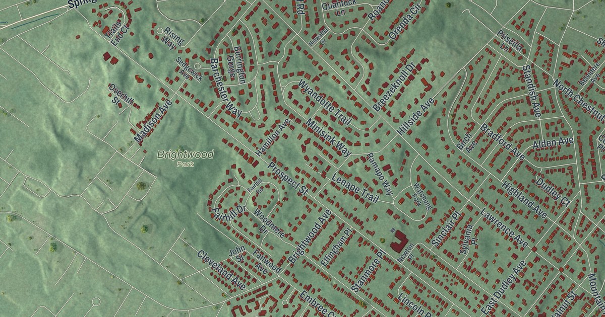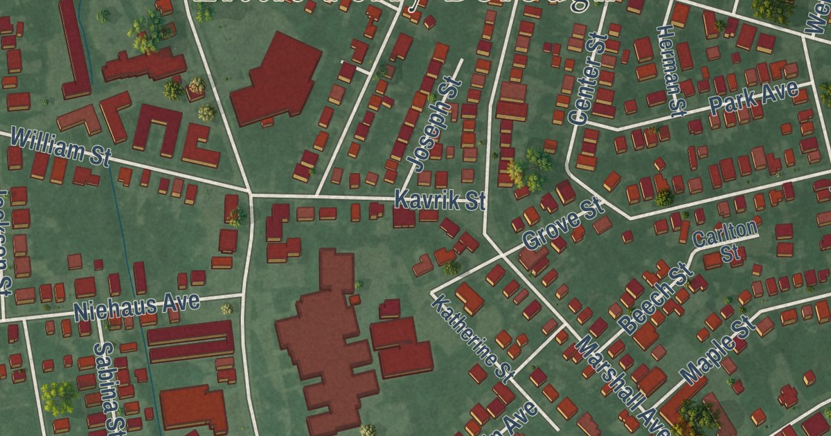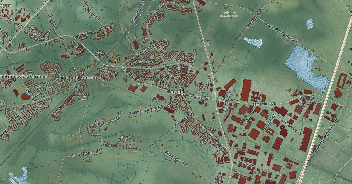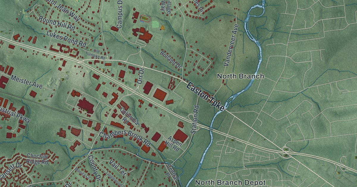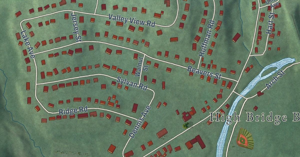
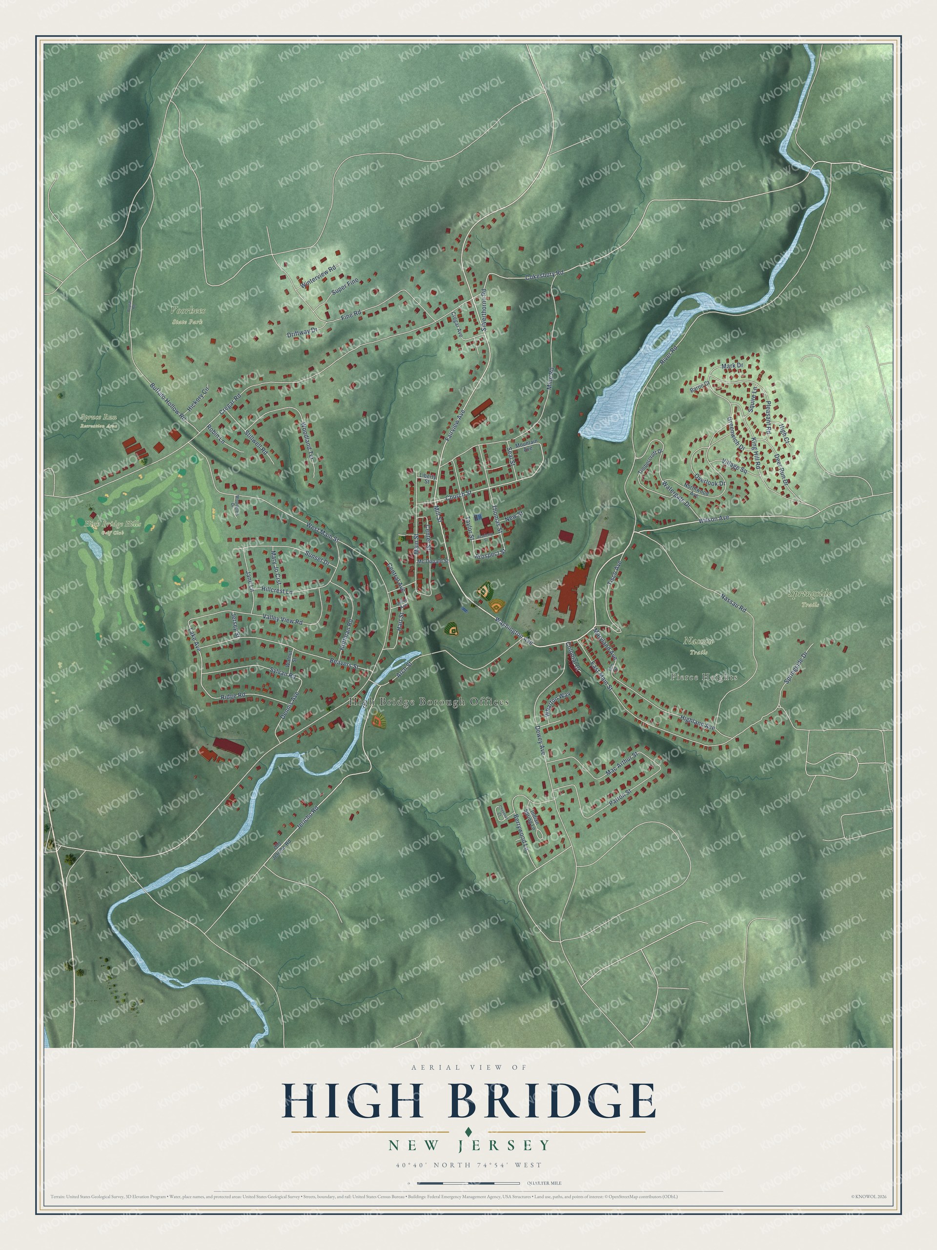
This beautifully detailed map of High Bridge, New Jersey was created in 2026 using aerial imagery combined with modern topographical, census, street and landmark data. It’s a one-of-a-kind view of High Bridge that combines accurate data with a vintage aesthetic. The map shows every building in its true location, many of the roads carry their names, and the shaded topographic relief shows the shape of the land.
Explore an aerial view of High Bridge, New Jersey
On the map you’ll find High Bridge Borough Offices, Pierce Heights, High Bridge Hills Golf Club, Nassau Trails, Springside Trails, Spruce Run Recreation Area, Voorhees State Park, and Union Forge Park, along with Washington Avenue, Mill Street, Wilson Avenue, Fairview Avenue, and more. If you look closely you can even find your house accurately drawn in its correct location. Zoom in on the preview to look for yours.
Did You Know?
Work on a railroad bridge for the Central Railroad of New Jersey began in 1859. It crossed the South Branch of the Raritan River and took five years to finish. The finished span stood 112 feet high and stretched 1,300 feet long. The town took its name from this high bridge.
Take a closer look at the High Bridge map
Names on this map
These names are printed on this map.
Places: High Bridge Borough Offices, Pierce Heights, High Bridge Hills Golf Club, Nassau Trails, Springside Trails, Spruce Run Recreation Area and Voorhees State Park.
Streets and roads: Washington Avenue, Mill Street, Wilson Avenue, Fairview Avenue, Church Street, Cokesbury Road, Silverthorne Road, Jericho Road, Lake Avenue, Prospect Street, West Main Street, Cregar Road.
More street names, A to Z
Academy Street, Arch Street, Baron Court, Beavers Street, Berrywood Lane, Buffalo Hollow Road, Center Street, Central Avenue, Chestnut Court, Colonial Court, Cregar Avenue, Deer Run Drive, Dennis Avenue, Dewey Avenue, Driftway Drive, East Main Street, Elm Street, Fine Road, Greenwich Drive, Hart Street, Hickory Circle, High Court, Highland Avenue, Hillcrest Lane, Hoffman Road, Indian Spring Lane, Jane Lane, Jersey Street, King Hill Road, Liberty Street, Mac Arthur Street, Main Street, Mark Drive, Mary Jo Crst, Maryland Avenue, Mc Donald Street, Mine Road, Mountain Avenue, Nassau Road, New Street, Northwood Avenue, Old Jericho Road, Overlook Drive, Patton Street, Pleasant Road, Poplar Road, Ridge Road, River Road, Robin Lane, Seal Street, Springside Drive, Squire Lane, Stillwell Road, Sunset Drive, Super Fine, Sylvan Road, Taylor Street, Thomas Street, Timbercroft Drive, Tisco Avenue, Union Avenue, Valley View Road, Village Square, Walnut Street, Watergate Drive, Wharton Way, Winterview Road, Woodglen Drive, Woodland Terrace.
See it on a wall
The High Bridge map as an 18 x 24 inch print in a black frame.

This beautifully detailed map of High Bridge makes an attractive addition to your office, library, or den, and it can even be used to teach children the geography and history of the area. It also makes a great gift for anyone who grew up in High Bridge or moved away. When you’re done exploring, click here to get your copy of the High Bridge map.