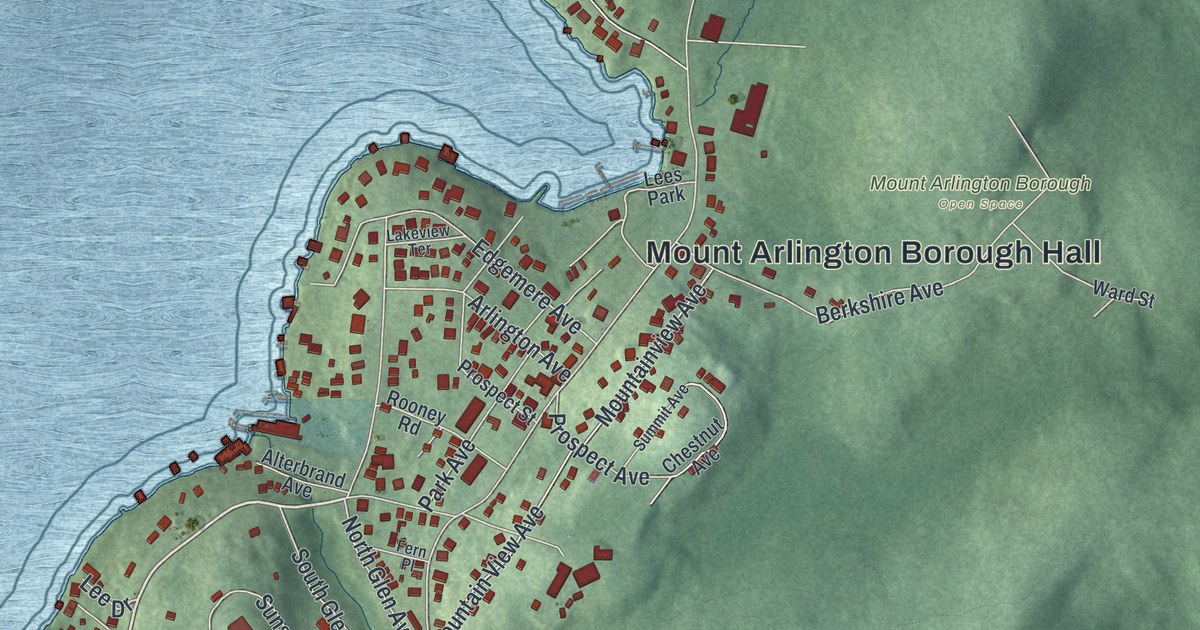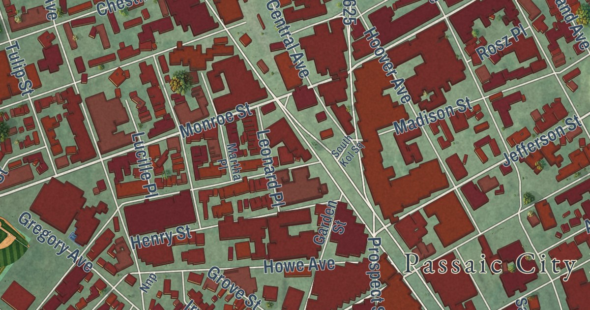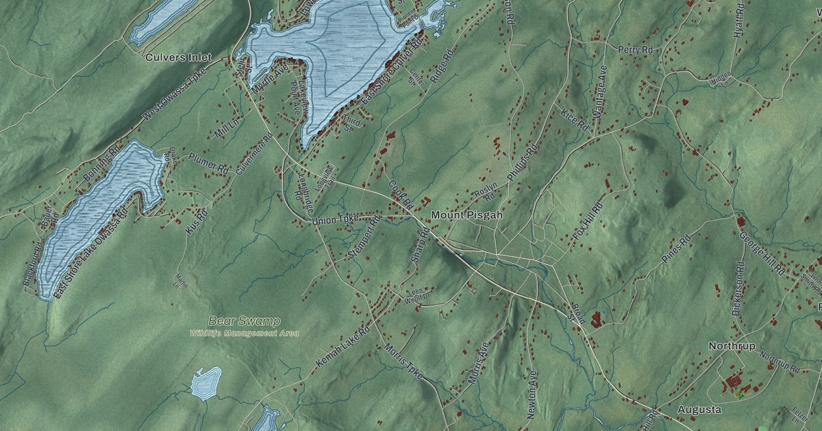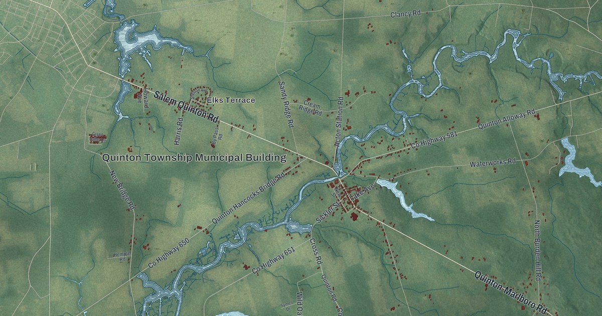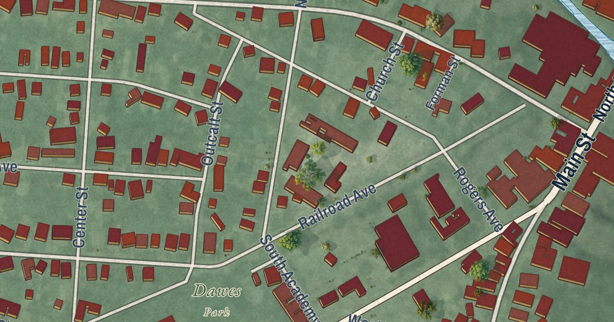
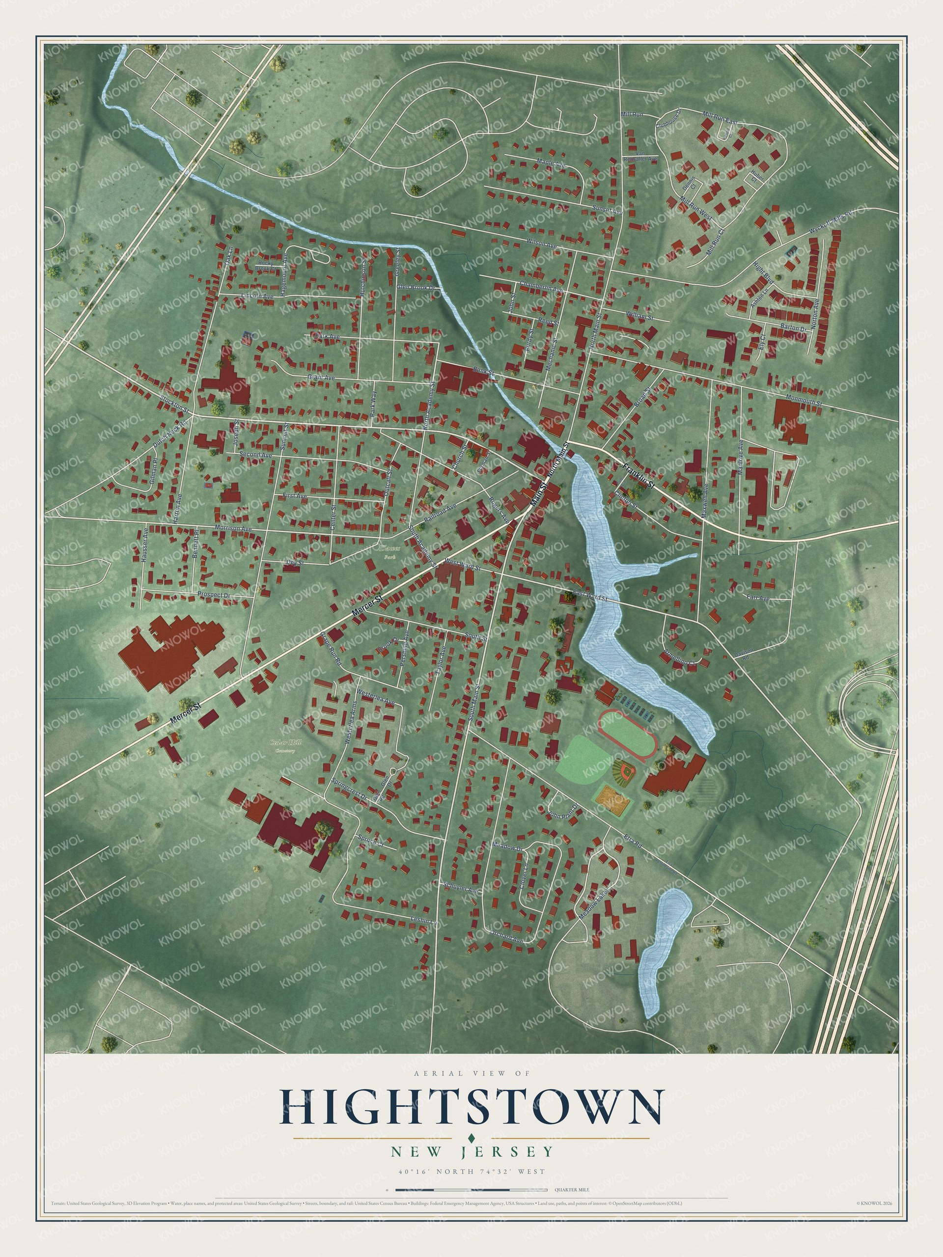
This beautifully detailed map of Hightstown, New Jersey was created in 2026 using aerial imagery combined with modern topographical, census, street and landmark data. It’s a one-of-a-kind view of Hightstown that combines accurate data with a vintage aesthetic. The map shows every building in its true location, many of the roads carry their names, and the shaded topographic relief shows the shape of the land.
Explore an aerial view of Hightstown, New Jersey
On the map you’ll find Cedar Hill Cemetery and Meadow Lakes, along with Main Street, Mercer Street, Franklin Street, Stockton Street, South Main Street, East Ward Street, Morrison Avenue, North Academy Street, North Main Street, Leshin Lane, and more. If you look closely you can even find your house accurately drawn in its correct location. Zoom in on the preview to look for yours.
Did You Know?
Camden and Amboy Railroad service reached Hightstown in December 1831, pulled by the British-built John Bull locomotive. The company was the first chartered railway in New Jersey and the third oldest in the country. It was also the first line in the nation to link two major cities, New York and Philadelphia.
Take a closer look at the Hightstown map
Names on this map
These names are printed on this map.
Places: Cedar Hill Cemetery and Dawes Park.
Streets and roads: Main Street, Mercer Street, Franklin Street, Stockton Street, South Main Street, East Ward Street, Morrison Avenue, Meadow Lakes, North Academy Street, North Main Street, Leshin Lane, Mill Run East.
More street names, A to Z
Armellino Court, Ashton Lane, Bank Street, Barton Drive, Bennett Place, Broad Street, Brook Drive, Center Street, Chamberlin Avenue, Church Street, Clinton Street, Clover Lane, Clubhouse Drive, Cole Avenue, Davison Road, Dennis Court, Dey Street, Dutch Neck Road, Ely Court, Etra Perrineville Road, Etra Road, Farr Avenue, First Avenue, Forman Street, Gilman Place, Glen Brook Drive, Glen Drive, Glen Road, Grant Avenue, Grape Run Road, Greeley Street, Hagemount Avenue, Harron Avenue, Hausser Avenue, Hight Boulevard, Huber Court, Hutchinson Street, John Plant Drive, John Street, Joseph Street, Lincoln Avenue, Manlove Avenue, Maple Avenue, Maxwell Avenue, Meadow Drive, Mechanic Street, Mill Run, Mill Run Court, Mill Run West, Monmouth Street, Norton Avenue, Oak Lane, Orchard Avenue, Outcalt Street, Park Avenue, Park Way, Pershing Avenue, Powell Court, Prospect Drive, Purdy Street, Railroad Avenue, Reed Street, Rocky Brook Court, Rogers Avenue, Schuyler Avenue, Second Avenue, South Academy Street, South Street, Springcrest Drive, Spruce Court, Summit Street, Sunset Avenue, Taylor Avenue, Van Rensaller Avenue, Westerlea Arms, Westerlea Avenue, West Ward Street, William Street, Wilson Avenue, Wyckoff Mills Road.
See it on a wall
The Hightstown map as an 18 x 24 inch print in a black frame.

This beautifully detailed map of Hightstown makes an attractive addition to your office, library, or den, and it can even be used to teach children the geography and history of the area. It also makes a great gift for anyone who grew up in Hightstown or moved away. When you’re done exploring, click here to get your copy of the Hightstown map.