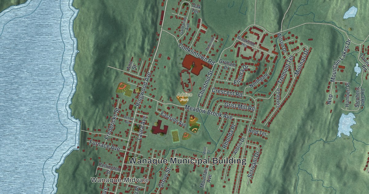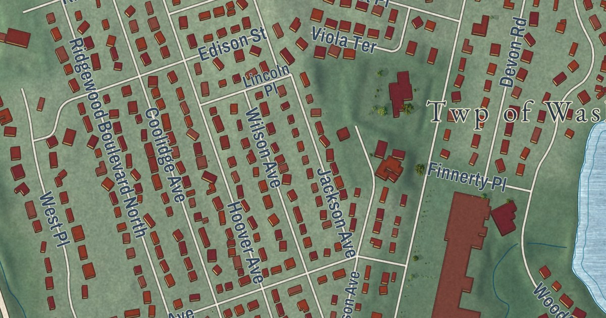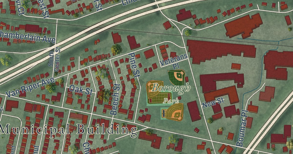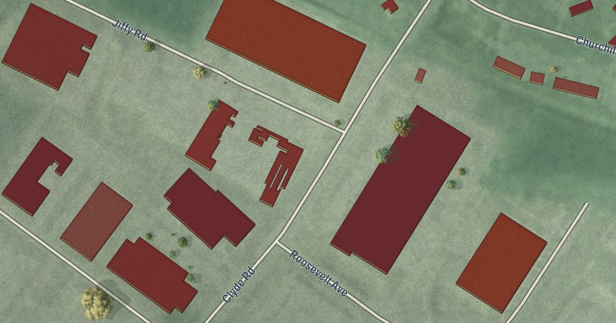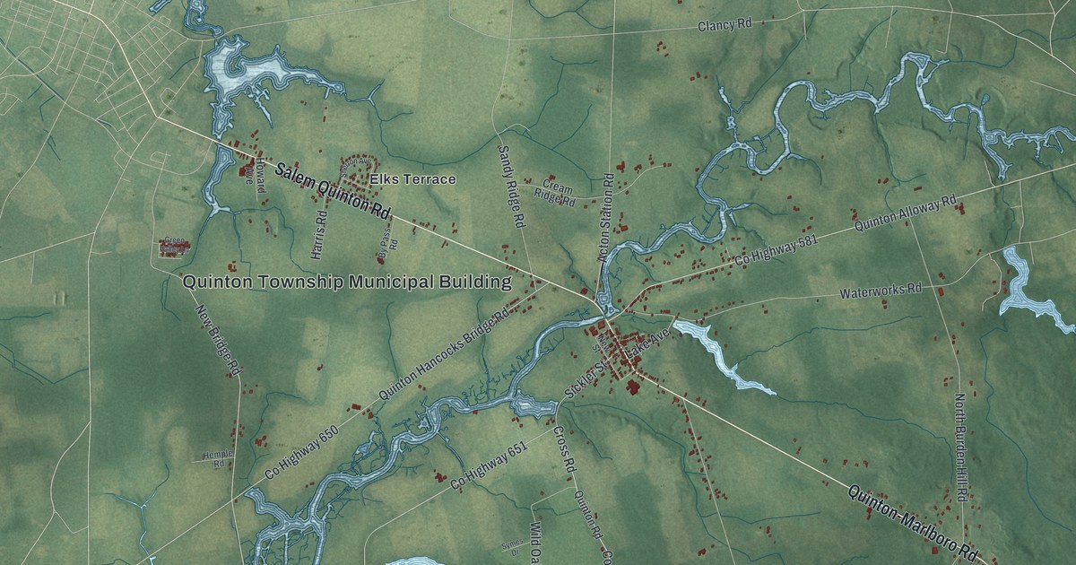
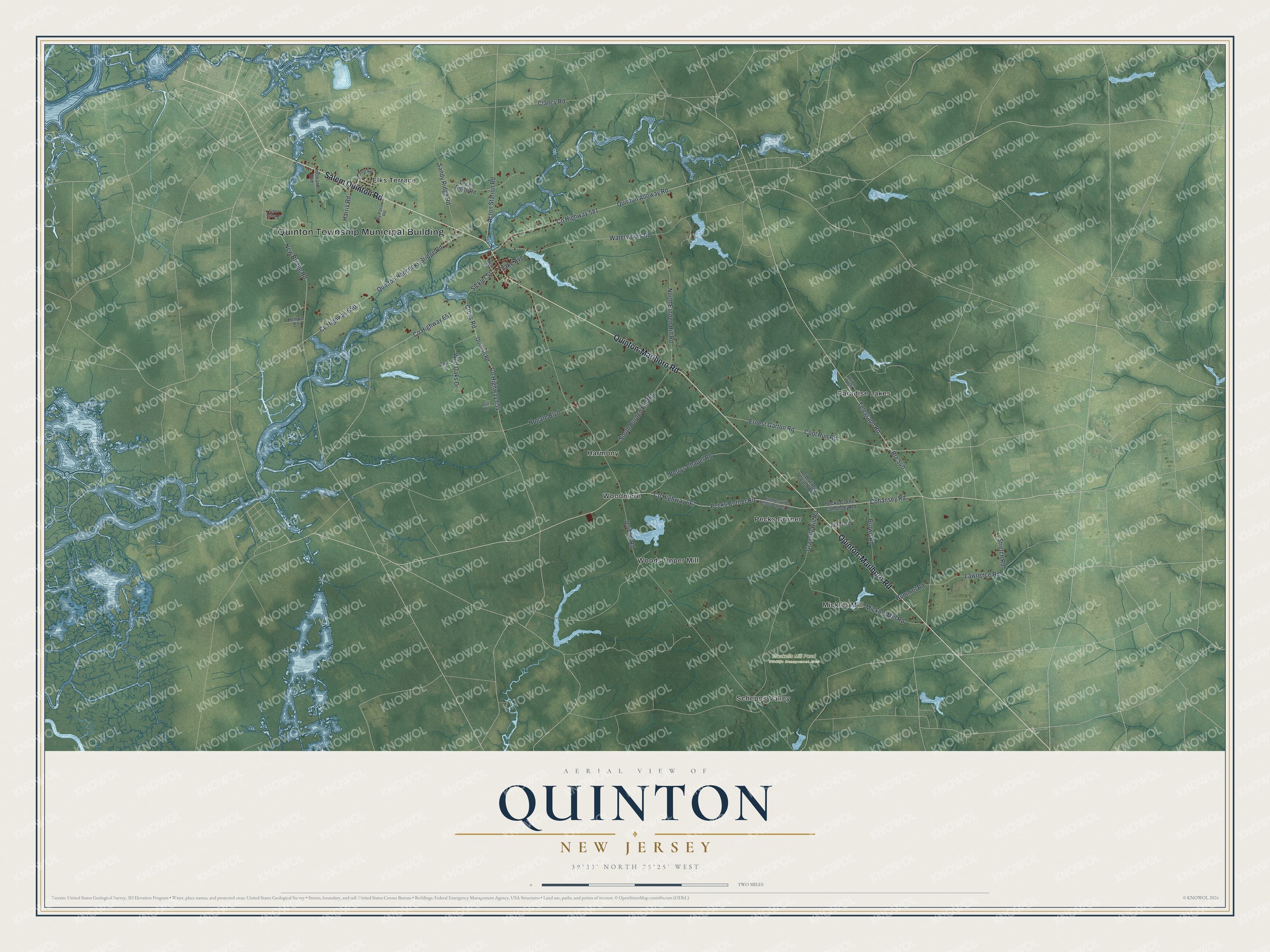
This beautifully detailed map of Quinton, New Jersey was created in 2026 using aerial imagery combined with modern topographical, census, street and landmark data. It’s a one-of-a-kind view of Quinton that combines accurate data with a vintage aesthetic. The map shows every building in its true location, many of the roads carry their names, and the shaded topographic relief shows the shape of the land.
Explore an aerial view of Quinton, New Jersey
On the map you’ll find Quinton Township Municipal Building, Harmony, Mickles Mill, Paradise Lakes, Pecks Corner, and Maskells Mill Pond Wildlife Management Area, along with Salem Quinton Road, Quinton-Marlboro Road, Cohansey Road, Telegraph Road, Elks Terrace, and more. If you look closely you can even find your house accurately drawn in its correct location. Zoom in on the preview to look for yours.
Did You Know?
On April 4, 1963, high winds spread a fire from the Smick Lumber Company through Quinton. Mary Myers, who ran the post office, kept working until the flames reached her building. She fled with the mail, records, cash and stamps, and carried them to Alloway. The fire left 19 families homeless, but relatives in town took them all in.
Take a closer look at the Quinton map
Names on this map
These names are printed on this map.
Places: Quinton Township Municipal Building, Maskells Mill Pond Wildlife Management Area, Elks Terrace, Harmony, Mickles Mill, Paradise Lakes, Pecks Corner, Schepps Valley, Woodmere and Woods Upper Mill.
Streets and roads: Salem Quinton Road, Quinton-Marlboro Road, County Highway 667, Route 540, Cohansey Road, Telegraph Road, County Highway 581, Quinton Alloway Road, County Highway 651, Sickler Street, New Bridge Road, Cool Run Road.
More street names, A to Z
Acton Station Road, Berrys Chapel Road, Brown Road, By Pass Road, Clancy Road, County Highway 650, County Highway 654, Cream Ridge Road, Cross Road, Ecret Road, Ernest Garton Road, Gill Drive, Gravelly Hill Road, Green Valley Lane, Harmersville Pecks Corner Road, Harris Road, Hemple Road, Hogate Boulevard, Howard Avenue, Hummel Road, Jericho Road, Lake Avenue, Lawrence Road, Mickels Mill Road, New Street, North Burden Hill Road, Old Stage Coach Road, Pecks Corner Cohansey Road, Pecks Corner Road, Quinton Hancocks Bridge Road, Quinton Road, Sandy Ridge Road, Sherron Avenue, South Burden Hill Road, Stretch Road, Symes Drive, Waterworks Road, Wild Oaks Drive, Wright Avenue.
See it on a wall
The Quinton map as an 18 x 24 inch print in a black frame.

This beautifully detailed map of Quinton makes an attractive addition to your office, library, or den, and it can even be used to teach children the geography and history of the area. It also makes a great gift for anyone who grew up in Quinton or moved away. When you’re done exploring, click here to get your copy of the Quinton map.