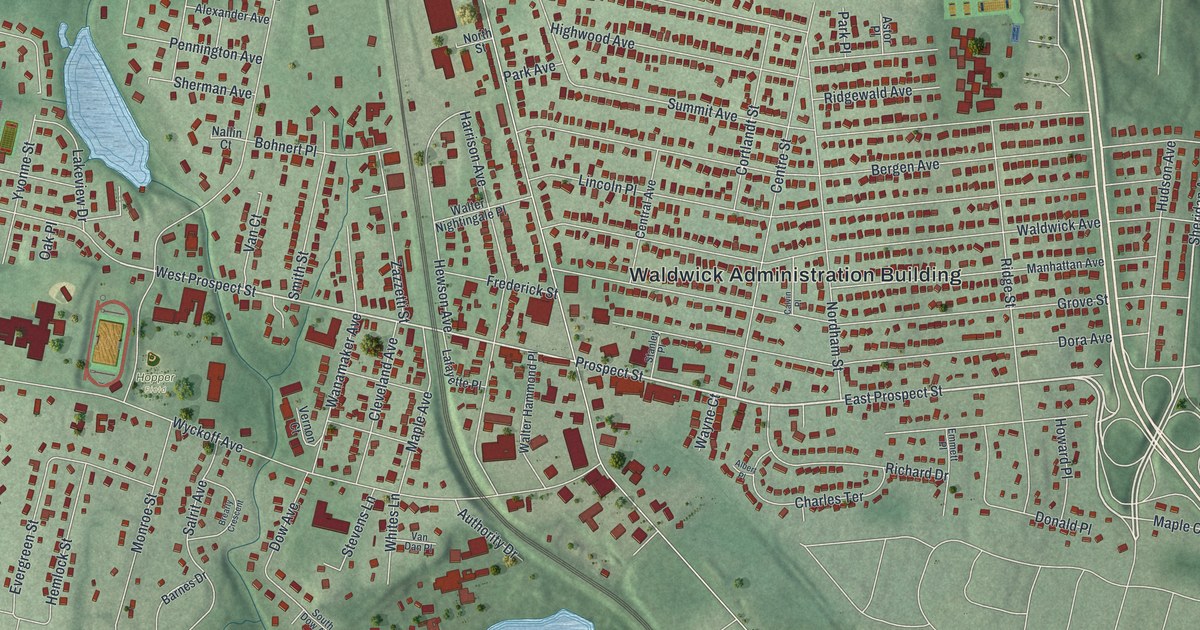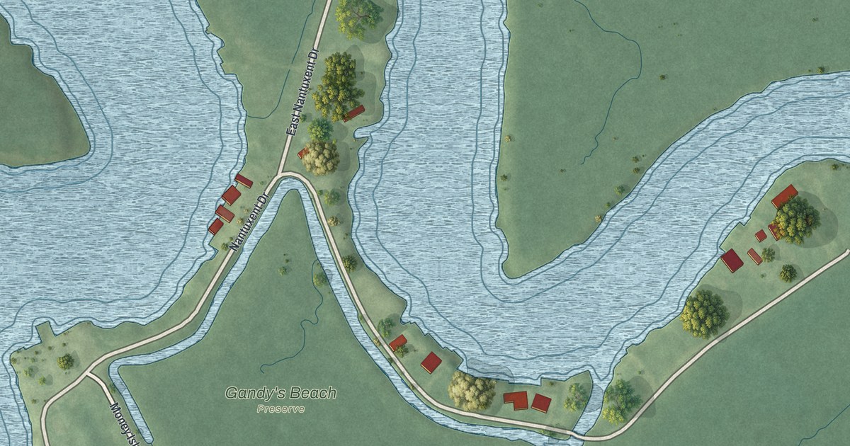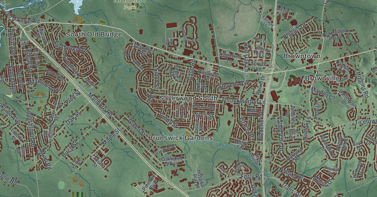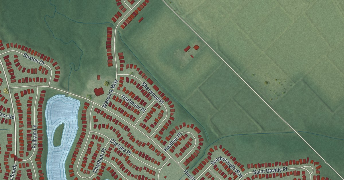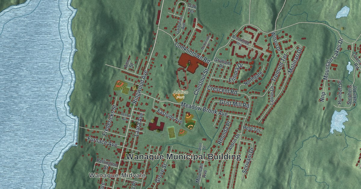
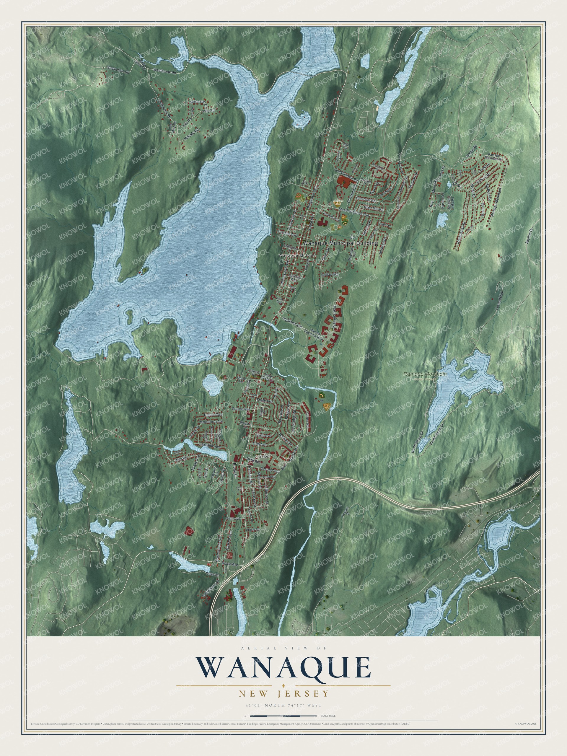
This beautifully detailed map of Wanaque, New Jersey was created in 2026 using aerial imagery combined with modern topographical, census, street and landmark data. It’s a one-of-a-kind view of Wanaque that combines accurate data with a vintage aesthetic. The map shows every building in its true location, many of the roads carry their names, and the shaded topographic relief shows the shape of the land.
Explore an aerial view of Wanaque, New Jersey
On the map you’ll find Wanaque Municipal Building, Haskell, Wanaque-Midvale, Addice Park, and Ramapo Mountain State Forest, along with Union Avenue, Westbrook Road, Snake Den Road, Second Avenue, and more. If you look closely you can even find your house accurately drawn in its correct location. Zoom in on the preview to look for yours.
Take a closer look at the Wanaque map
Names on this map
These names are printed on this map.
Places: Wanaque Municipal Building, Haskell, Wanaque-Midvale, Addice Park and Ramapo Mountain State Forest.
Streets and roads: Union Avenue, Westbrook Road, Snake Den Road, Second Avenue, Doty Road, Fourth Avenue, Ringwood Avenue, North Shore Drive, Conklintown Road, Ramapo Mountain, Greenwood Avenue, Foxcroft Road.
More street names, A to Z
Aldrin Drive, Ann Street, Argyle Road, Bartholdi Avenue, Bean Court, Bergen Avenue, Boulevard, Brookside Heights, Brook Street, Burnside Place, Butler Place, Cannonball Drive, Cannonball Road, Carter Road, Chestnut Street, Coles Avenue, Colfax Avenue, Cooper Drive, Crescent Road, Dardale Terrace, Debow Avenue, Decker Road, Dena Drive, Dupont Avenue, Eastside Avenue, Elinora Drive, Elm Street, Evergreen Avenue, Father Hayes Drive, Fifth Avenue, First Avenue, Franklin Place, Fredericks Street, Furnace Avenue, Garbarino Avenue, Glen Court, Gorge Drive, Graham Place, Green Road, Grist Mill Road, Grove Street, Hannah Lane, Hannibal Place, Haskell Avenue, Held Terrace, Highland Avenue, Hillside Road, Howard Street, Humbert Place, Jackson Street, Jefferson Street, Jenkins Avenue, Lake Drive, Lakeside Avenue, Laura Avenue, Lilly Road, Lily Road, Lines Avenue, Locust Street, Lorrie Lane, Lovell Drive, Makemoney Avenue, Maple Avenue, McAtee Lane, McKinnon Place, Meadow Brook Avenue, Molinari Drive, Monroe Street, Mountain Avenue, Mountain Lakes Drive, Nnp, Northgate, Oak Street, Oak Terrace, Orchard Street, Park Avenue, Paul Place, Pellington Street, Railroad Avenue, Ramapo Mountain Drive, Red Mine Road, Reservoir Drive, Rhinesmith Avenue, Rhonda Place, Rockridge Road, Roseland Avenue, Schirra Drive, Scrivani Drive, Shady Avenue, Short Street, Sixth Avenue, Skyland Avenue, Skyline Drive, Smith Avenue, South Shore Drive, Stafford Drive, Stephens Lake Road, Storms Avenue, Susquehanna Drive, Third Avenue, Toquet Street, Townsend Road, Tremont Terrace, Union Court, Villa Place, Warren's Way, Warren Hagstrom Boulevard, West Brook Road, Wilson Drive, Wolfe Drive, Wuester Lane.
See it on a wall
The Wanaque map as an 18 x 24 inch print in a black frame.

This beautifully detailed map of Wanaque makes an attractive addition to your office, library, or den, and it can even be used to teach children the geography and history of the area. It also makes a great gift for someone who left Wanaque and still calls it home. When you’re done exploring, click here to get your copy of the Wanaque map.