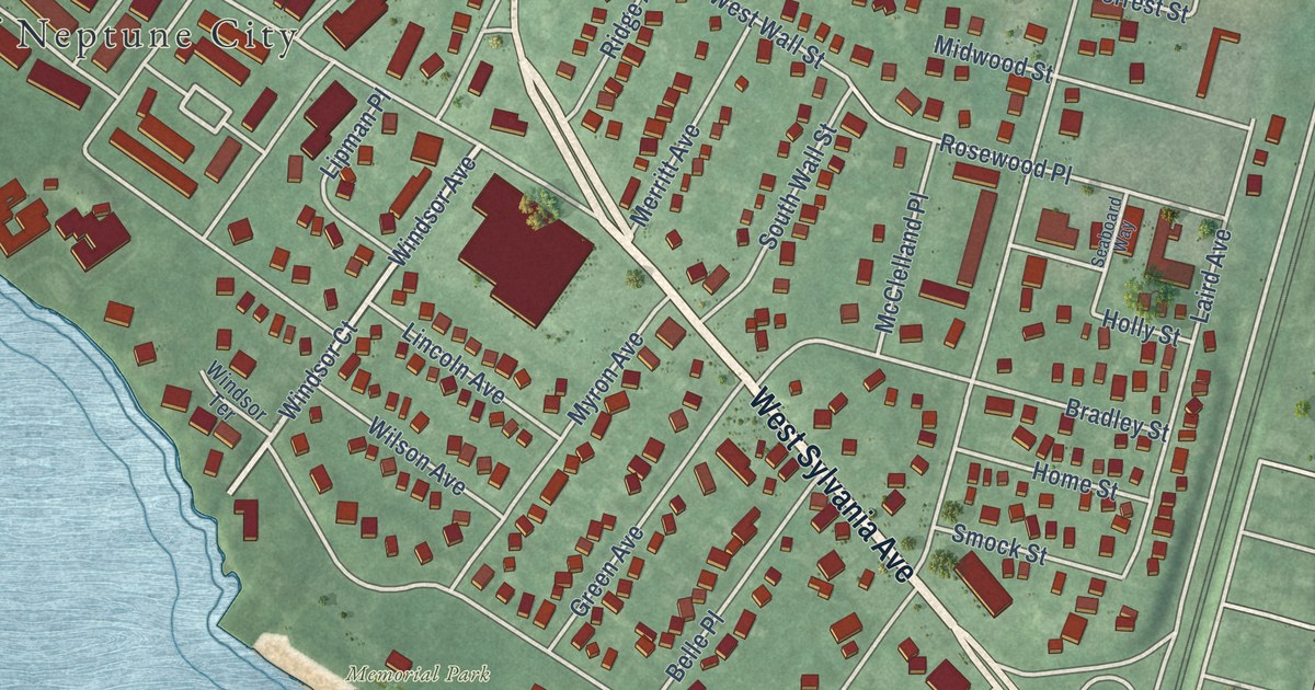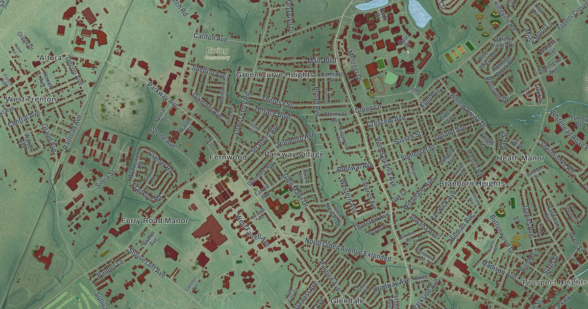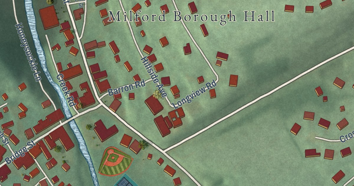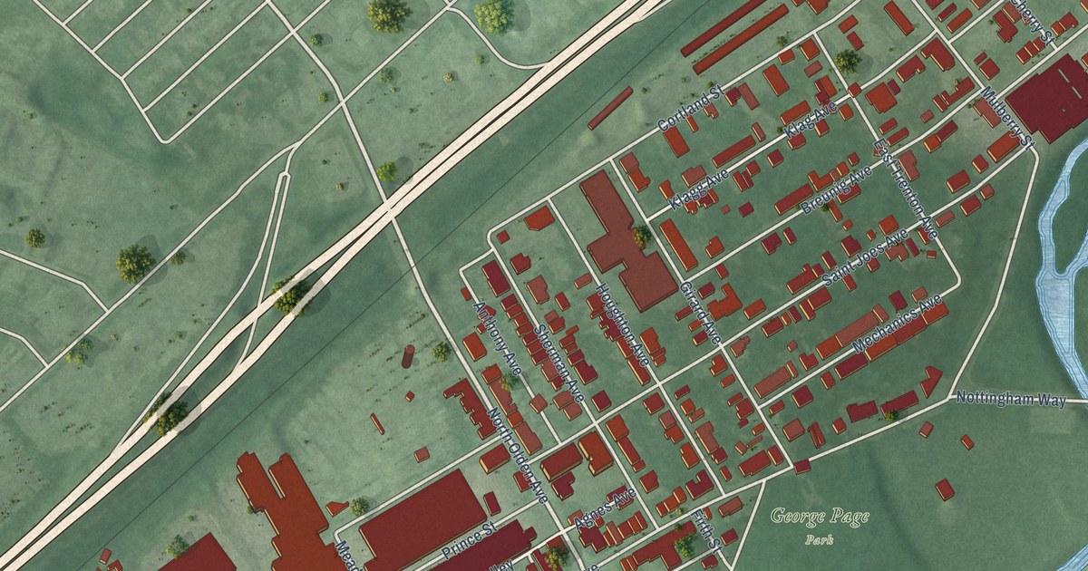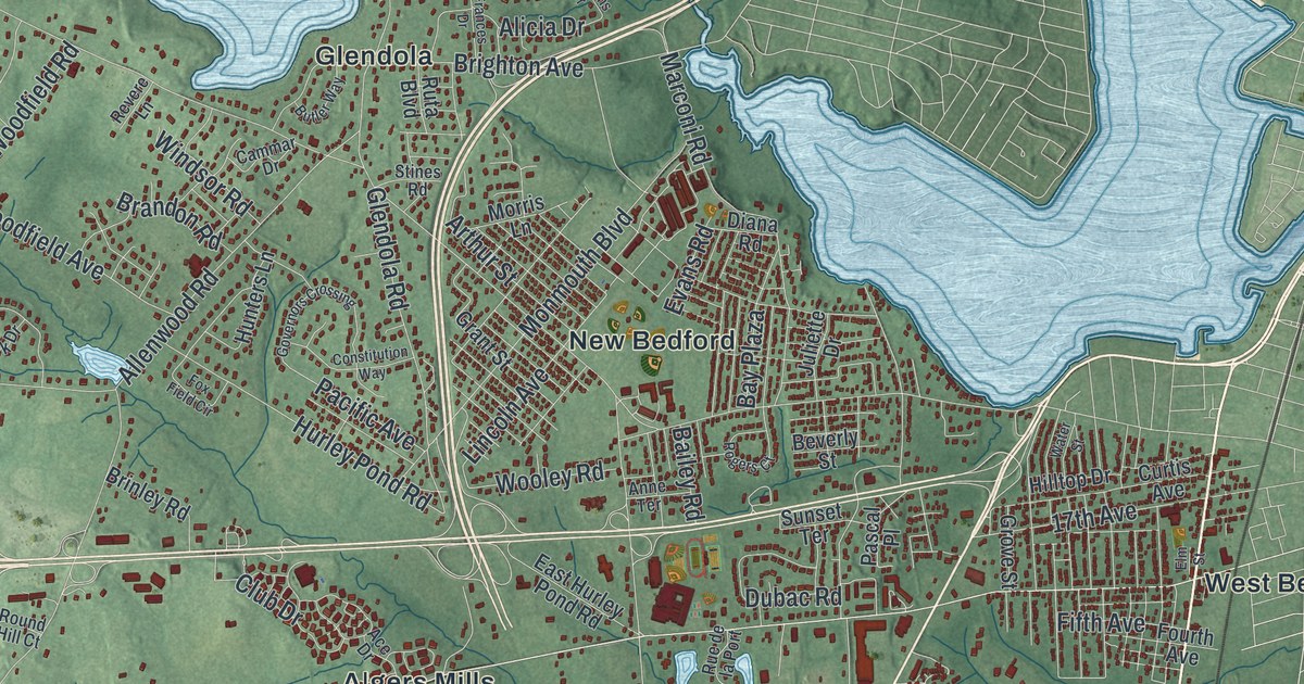
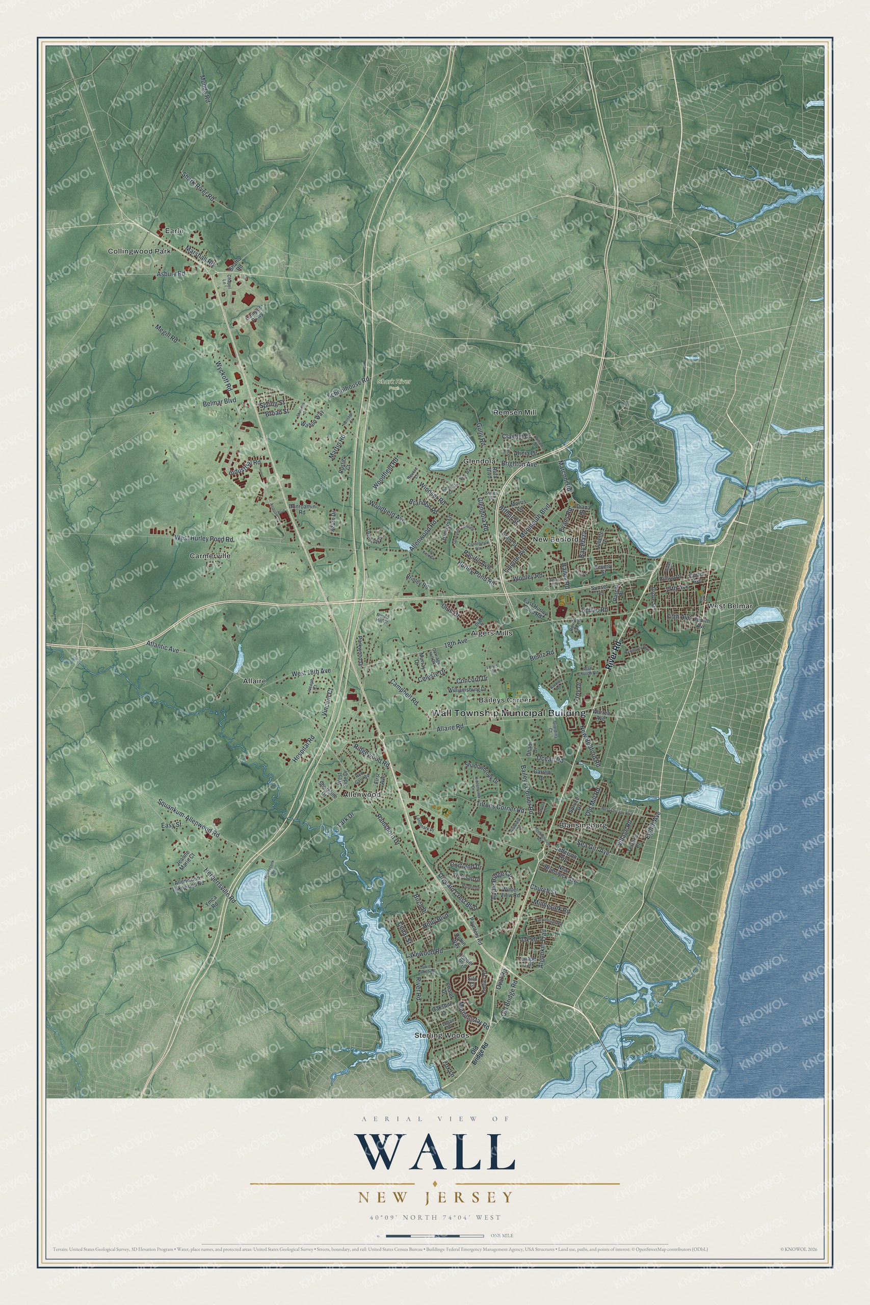
This beautifully detailed map of Wall, New Jersey was created in 2026 using aerial imagery combined with modern topographical, census, street and landmark data. It’s a one-of-a-kind view of Wall that combines accurate data with a vintage aesthetic. The map shows every building in its true location, many of the roads carry their names, and the shaded topographic relief shows the shape of the land.
Explore an aerial view of Wall, New Jersey
On the map you’ll find Wall Township Municipal Building, Algers Mills, Allaire, Allenwood, Baileys Corner, Blansingburg, and Shark River Park, along with River Road, Village Road, Atlantic Avenue, Squankum-Allenwood Road, and more. If you look closely you can even find your house accurately drawn in its correct location. Zoom in on the preview to look for yours.
Did You Know?
In 1822 James P. Allaire bought the Howell Works ironworks in Wall. By 1836 it led New Jersey in bog iron. About 500 people lived in the busy mill village. The furnace closed in 1846, and the village later became Allaire State Park in 1957.
Take a closer look at the Wall map
Names on this map
These names are printed on this map.
Places: Wall Township Municipal Building, Shark River Park, Algers Mills, Allaire, Allenwood, Baileys Corner, Blansingburg, Carmerville, Collingwood Park, Earle, Glendola, New Bedford, Remsen Mill, Sterling Woods and West Belmar.
Streets and roads: River Road, Village Road, Atlantic Avenue, 18th Avenue, Squankum-Allenwood Road, Belmar Boulevard, Allaire Road, Allenwood Road, Ramshorn Drive, West Hurley Pond Road, New Bedford Road, Baileys Corner Road.
More street names, A to Z
17th Avenue, Ace Drive, Airport Boulevard, Algonkin Trail, Alicia Drive, Allenwood Lakewood Road, Anne Terrace, Apple Ridge Circle, Arthur Street, Asbury Road, Azure Drive, Bailey Road, Bay Plaza, Bentz Road, Beverly Street, Birch Place, Brandon Road, Brighton Avenue, Brinley Road, Broad Street, Butler Way, Cammar Drive, Campbell Road, Campus Parkway, Carriage Hill Drive, Cedar Street, Celeste Drive, Chalet Drive, Chapel Lane, Church Street, Clayton Drive, Club Drive, Collier Road, Concord Drive, Constitution Way, Cooper Boulevard, Cortland Drive, Curtis Avenue, Diana Road, Dubac Road, Dunroamin Road, East Hurley Pond Road, Easy Street, Eighth Avenue, Elm Street, Evans Road, Fifth Avenue, First Avenue, Fourth Avenue, Fox Field Circle, Fox Lane, Frances Drive, Gardner Road, Garrett Drive, Giardina Court, Gladfield Drive, Glendola Road, Governors Crossing, Grant Street, Grove Street, Gully Road, Hawthorne Parkway, Herbertsville Road, Heritage Court, Hiddenbrook Drive, Hilltop Drive, Holly Boulevard, Hospital Road, Hunters Lane, Hurley Pond Road, Industrial Road, Jeanne Marie Court, Jefferson Avenue, Joseph Court, Juliette Drive, Lakewood Road, Landmark Place, Lark Drive, Lenape Trail, Lewis Court, Lincoln Avenue, Logan Drive, Marconi Road, Marshall Road, Martin Road, Meetinghouse Road, Megill Road, Metedeconk Road, Minnesink Road, Monmouth Boulevard, Morningstar Road, Morris Lane, Munda Road, Murray Drive, Narrumson Road, New Brunswick Avenue, Oak Road, Oakshire Lane, Ocean Road, Ohadi Drive, Old Bridge Road, Old Mill Road, Orchard Crest Boulevard, Oval Road, Overbrook Drive, Pacific Avenue, Parkwood Drive, Pascal Place, Paynters Road, Pippin Drive, Red Gate Road, Revere Lane, Ridgewood Road, Robin Way, Rogers Court, Round Hill Court, Rue de la Port, Rustic Court, Ruta Boulevard, Schoolhouse Road, Sea Girt Avenue, Shadowbrook Drive, Shafto Road, Shark River Road, Sheridan Drive, Shoreline Drive, Silo Court, Spring Street, Spruce Drive, Stines Road, Sunset Terrace, Tarpon Drive, Terrace Place, Tiltons Corner Road, Troy Drive, Twin Lakes Drive, Vincent Court, Wall Church Road, Walton Way, Warren Avenue, Water Street, West 18th Avenue, West Chicago Boulevard, West Side Drive, Williamsburg Drive, Williams Drive, Windsor Road, Winesap Drive, Winter View Road, Woodfield Avenue, Woodfield Road, Wooley Road, Wyckoff Road, Ymca Road.
See it on a wall
The Wall map as an 18 x 24 inch print in a black frame.

This beautifully detailed map of Wall makes an attractive addition to your office, library, or den, and it can even be used to teach children the geography and history of the area. It also makes a great gift for anyone with Wall roots. When you’re done exploring, click here to get your copy of the Wall map.