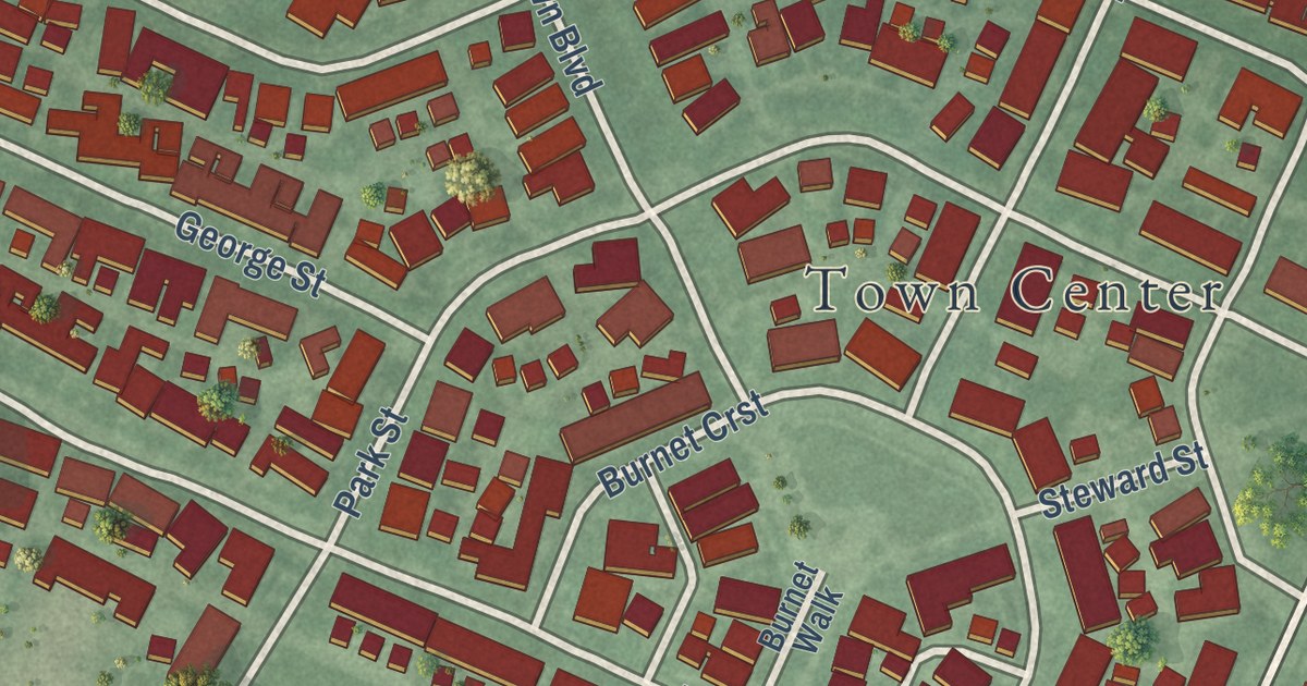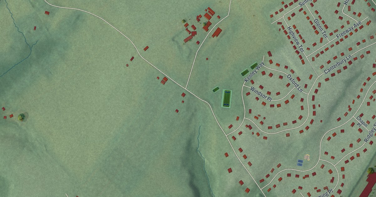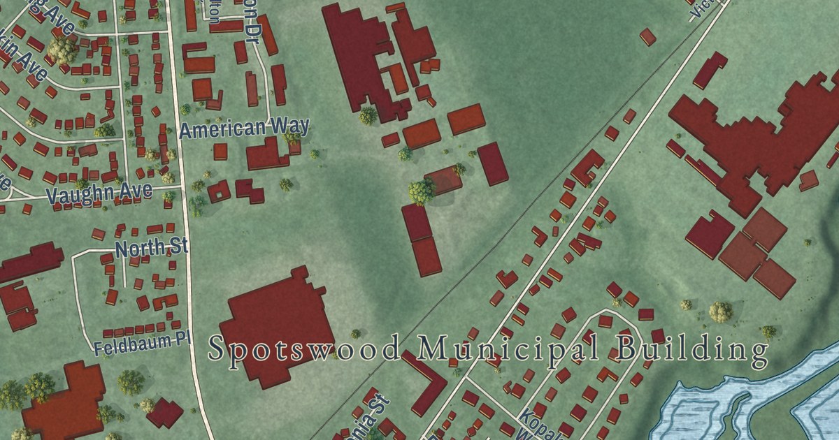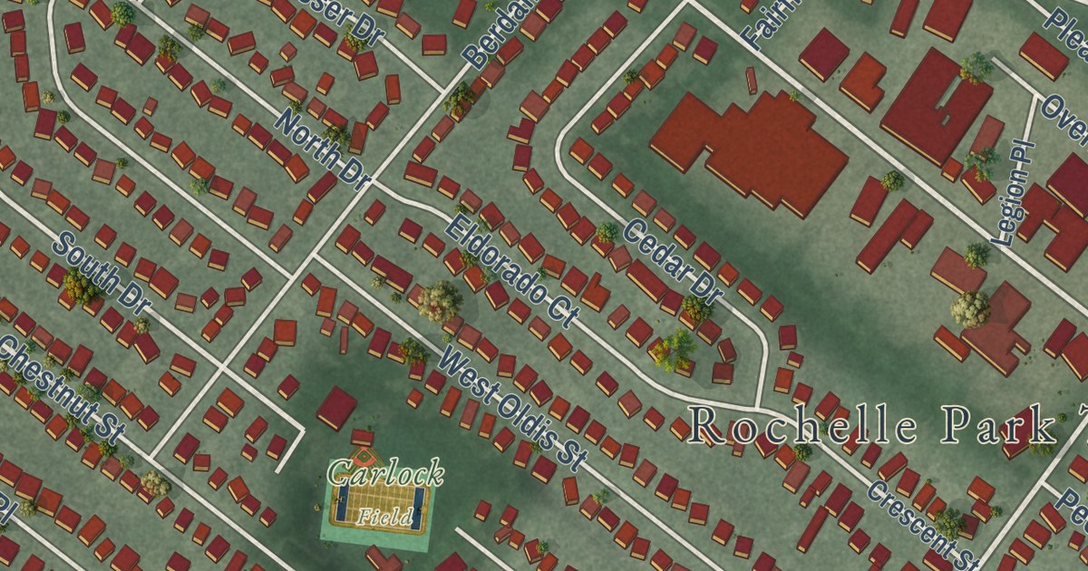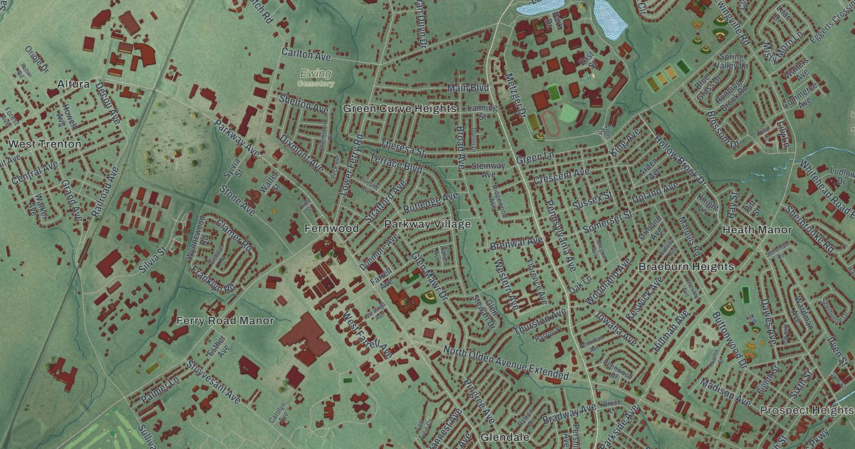
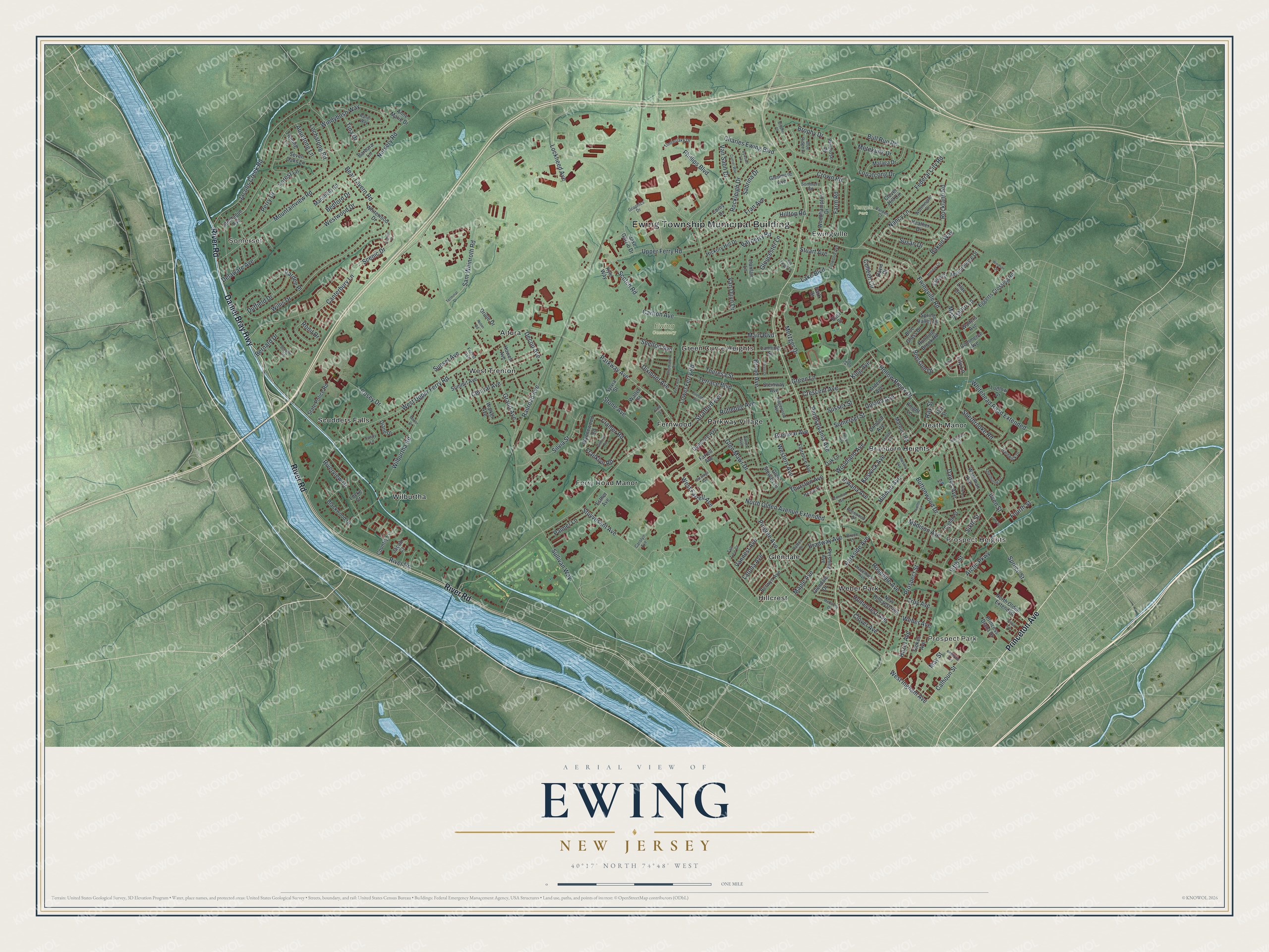
This beautifully detailed map of Ewing, New Jersey was created in 2026 using aerial imagery combined with modern topographical, census, street and landmark data. It’s a one-of-a-kind view of Ewing that combines accurate data with a vintage aesthetic. The map shows every building in its true location, many of the roads carry their names, and the shaded topographic relief shows the shape of the land.
Explore an aerial view of Ewing, New Jersey
On the map you’ll find Ewing Township Municipal Building, Somerset, Prospect Park, Prospect Heights, Ewing Cemetery, Temple Park, Altura, Braeburn Heights, Ewingville, Fernwood, Ferry Road Manor, Glendale, and more. If you look closely you can even find your house accurately drawn in its correct location. Zoom in on the preview to look for yours.
Did You Know?
Ewing Township was formed from part of Trenton Township on February 22, 1834. The new township honored Charles Ewing, who had led the state’s Supreme Court as its chief justice. He had died before the township took his name.
Take a closer look at the Ewing map
Names on this map
These names are printed on this map.
Places: Ewing Township Municipal Building, Somerset, Prospect Park, Prospect Heights, Ewing Cemetery, Temple Park, Altura, Braeburn Heights, Ewingville, Fernwood, Ferry Road Manor, Glendale, Green Curve Heights, Heath Manor, Hillcrest, Parkway Village, Scudders Falls, Weber Park, West Trenton and Wilburtha.
Streets and roads: Princeton Avenue, River Road, Daniel Bray Highway, Parkway Avenue, Parkside Avenue, North Olden Avenue Extended, Lower Ferry Road, Ewingville Road, Spruce Street, Decou Avenue, Bear Tavern Road, Scotch Road.
More street names, A to Z
Aaron Avenue, Anne Marie Drive, Aquetong Lane, Arctic Parkway, Arden Avenue, Ardsley Avenue, Bakun Way, Barbara Lane, Bayberry Road, Bedford Drive, Bernard Drive, Berwyn Avenue, Blackwood Drive, Blossom Drive, Blue Grass Drive, Blue Ridge Drive, Bradway Avenue, Brenwal Avenue, Broad Avenue, Brophy Court, Brophy Drive, Bruce Lane, Bull Run Road, Buttonwood Drive, Bywood Lane, Calhoun Street, Canterbury Lane, Carlton Avenue, Carolyn Avenue, Central Avenue, Charles Ewing Boulevard, Chelmsford Drive, Chesney Avenue, Clamer Road, Clive Court, Clover Avenue, Clover Hill Circle, Colleen Circle, Commerce Avenue, Corey Drive, Cosey Drive, Country Lane, Crescent Avenue, Crown Road, Currier Way, David Drive, Dawes Avenue, Delaware Avenue, Diane Drive, Dixmont Avenue, Dorset Drive, Duffield Drive, Dunmore Avenue, East Street, Eggerts Crossing Road, Eighth Street, Esther Avenue, Farm Road, Farrell Avenue, Federal City Road, Fifth Street, Fireside Avenue, Florence Avenue, Forest Avenue, Forest Lane, Fourth Street, Fran Avenue, Franklyn Road, Gilmore Road, Glendale Drive, Glen Mawr Drive, Glenmore Avenue, Glen Stewart Drive, Gloucester Lane, Gold Street, Grand Avenue, Graphics Drive, Green Lane, Hardwick Drive, Harrop Place, Hazel Avenue, Hazelhurst Avenue, Heather Drive, Hickory Hill Drive, Hillman Avenue, Hilltop Road, Holiday Court, Hollow Brook Drive, Homecrest Avenue, Howell Avenue, Iowana Avenue, Irven Street, Jacob Court, Jacobs Creek Road, Jake Garzio Drive, Jane Street, Keswick Avenue, King Avenue, Kirk Avenue, Kirkbride Avenue, Knight Lane, Kyle Way, Lake Boulevard, Lanning Street, Latona Avenue, Lilac Drive, Lily Lane, Linwood Avenue, Lion Drive, Llanfair Lane, Lochatong Road, Locke Court, Lockheed Avenue, Lopatcong Drive, Ludlow Drive, Madison Avenue, Main Boulevard, Malaga Drive, Manor Drive, Manorhouse Drive, Mansfield Road, Maple Avenue, Marquis Road, May Street, McCarthy Drive, Metekunk Drive, Metzger Drive, Misty Morn Lane, Montague Avenue, Mountainview Road, Nancy Lane, New Hillcrest Avenue, North Olden Extended, Nursery Road, Oak Lane, Old Forge Lane, Oregon Avenue, Oriole Drive, Ormond Avenue, Palmer Lane, Pardee Place, Park Drive, Patton Drive, Peck Avenue, Pennroad Avenue, Pennsylvania Avenue, Pennwood Drive, Perry Drive, Pershing Avenue, Phillips Boulevard, Pilgrim Court, Pingree Avenue, Pitt Street, Primrose Place, Princess Diana Drive, Prospect Street, Railroad Avenue, Randi Way, Ray Street, Ridgewood Avenue, Riverview Drive, Robin Road, Rockland Road, Rockleigh Drive, Ronit Drive, Rosedale Avenue, Running Brook Road, Rutledge Avenue, Sabrina Drive, Sam Weinroth Road, Sandy Lane, Saratoga Avenue, Scenic Drive, Scudder Road, Seven Oaks Lane, Shelburne Drive, Shelton Avenue, Sherbrooke Road, Silvia Street, Sixth Street, Somerset Street, Sommers Road, Spring Valley Lane, State Police Road, Steinway Avenue, Stokes Avenue, Stone Avenue, Stoneham Road, Stout Avenue, Stratford Avenue, Stuart Avenue, Stuyvesant Avenue, Sullivan Way, Summit Avenue, Sunset Avenue, Susan Drive, Sussex Street, Sylvia Street, Tall Tree Court, Terminal Drive, Terrace Boulevard, Theresa Street, Thurston Avenue, Timberlake Drive, Tina Drive, Troy Avenue, Tulip Lane, Twelfth Street, Twining Lane, Upland Avenue, Upper Ferry Road, Van Duyn Drive, Vannest Avenue, Van Saun Drive, Varden Court, Walker Avenue, Walters Avenue, Walter Street, Wardman Avenue, Weber Avenue, Western Avenue, West Farrell Avenue, West Ingham Avenue, West Upper Ferry Road, Westwood Drive, Whitehead Road Extended, Whitewood Drive, Wilburtha Road, Willis Drive, Windsor Court, Windybush Way, Woodhampton Drive, Woodland Avenue, Worthington Drive, Wynnewood Road.
See it on a wall
The Ewing map as an 18 x 24 inch print in a black frame.

This beautifully detailed map of Ewing makes an attractive addition to your office, library, or den, and it can even be used to teach children the geography and history of the area. It also makes a great gift for anyone who grew up in Ewing or moved away. When you’re done exploring, click here to get your copy of the Ewing map.