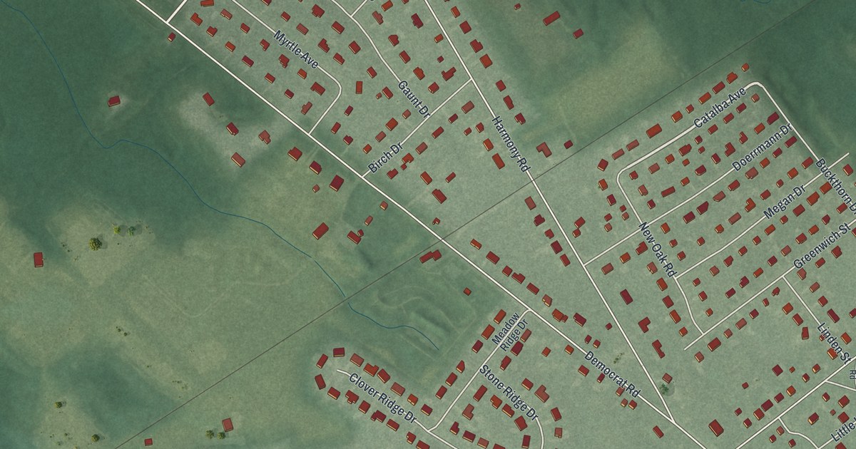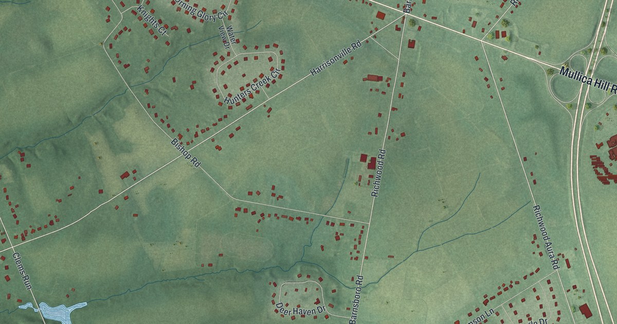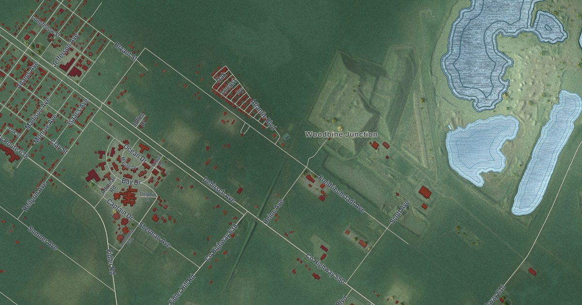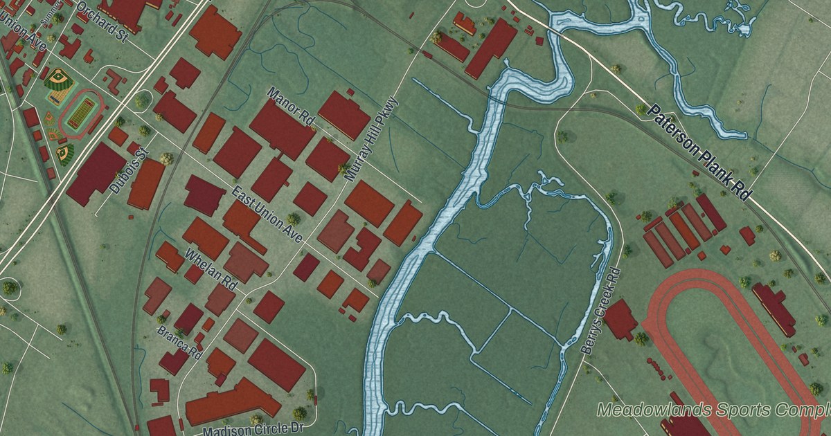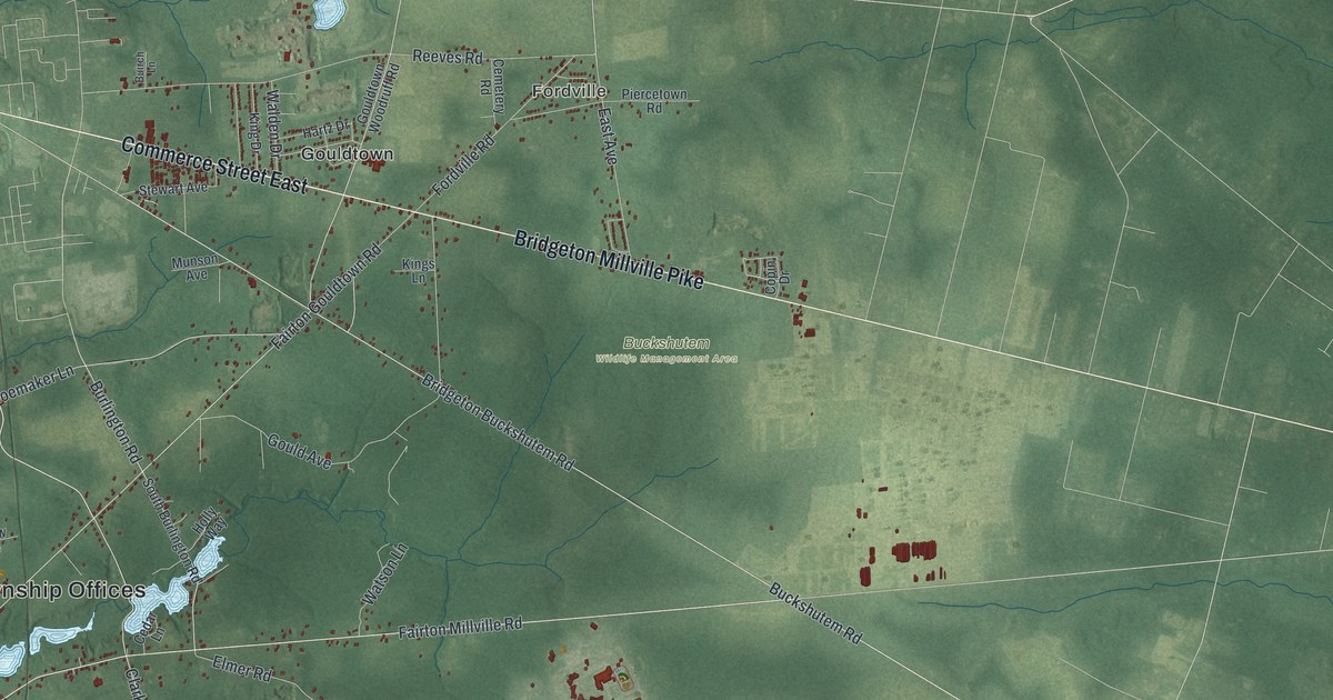
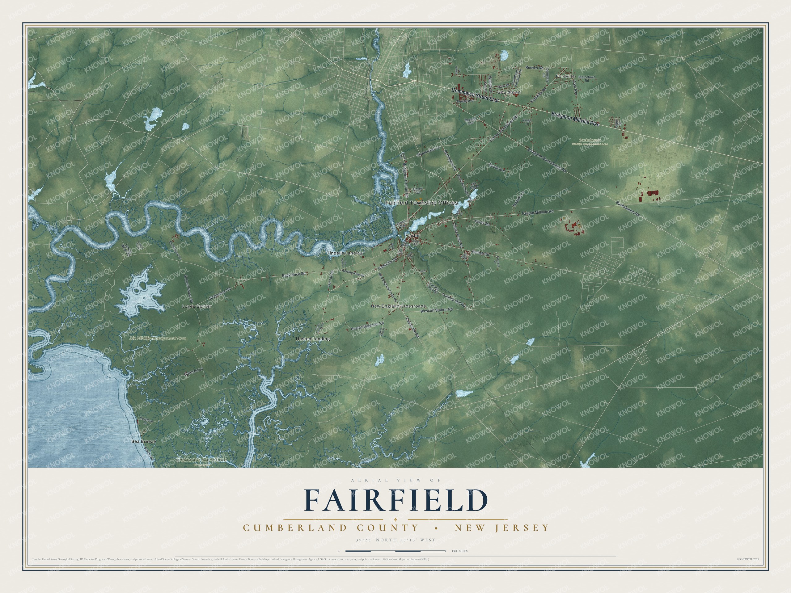
This beautifully detailed map of Fairfield, Cumberland County, New Jersey was created in 2026 using aerial imagery combined with modern topographical, census, street and landmark data. It’s a one-of-a-kind view of Fairfield that combines accurate data with a vintage aesthetic. The map shows every building in its true location, many of the roads carry their names, and the shaded topographic relief shows the shape of the land.
Explore an aerial view of Fairfield, Cumberland County, New Jersey
On the map you’ll find Fairfield Township Offices, Fordville, Buckshutem Wildlife Management Area, Delaware Bay Shore Preserve, Dix Wildlife Management Area, Fairton, Gouldtown, Husted Landing, Loyds Corner, New England Crossroads, Sea Breeze, Tindells Landing, and more. If you look closely you can even find your house accurately drawn in its correct location. Zoom in on the preview to look for yours.
Did You Know?
Fairfield took its name from its first settlers, who came from Fairfield, Connecticut, in 1697. A royal charter created the township on May 12 of that year. In 1798 it became one of the 104 original townships of New Jersey.
Take a closer look at the Fairfield, Cumberland County map
Names on this map
These names are printed on this map.
Places: Fairfield Township Offices, Fordville, Buckshutem Wildlife Management Area, Delaware Bay Shore Preserve, Dix Wildlife Management Area, Fairton, Gouldtown, Husted Landing, Loyds Corner, New England Crossroads, Sea Breeze and Tindells Landing.
Streets and roads: Commerce Street East, Bridgeton Millville Pike, Clarks Pond Road, Rockville Road, Cedarville Road, Lummis Mill Road, Wescott Station Road, Buckshutem Road, Fairton Millville Road, Back Neck Road, Seabreeze Road, Bridgeton Buckshutem Road.
More street names, A to Z
Beach Avenue, Blews Lane, Brickhouse Lane, Bridgeton Fairton Road, Buirch Lane, Burlington Road, Cedar Lane, Cemetery Road, Copin Drive, Dave Drive, Dragon Fly Drive, East Avenue, Elmer Avenue, Elmer Road, Everland Drive, Fairton Gouldtown Road, Finlaw Avenue, Flat Top Road, Fordville Road, Garrison Lane, Gould Avenue, Gouldtown Woodruff Road, Green Way, Griner Lane, Hartz Drive, Herring Row Road, Holly Way, Husted Bateman Road, Husted Landing Road, Keystone Lane, King Drive, Kings Lane, Laning Wharf Road, Lummis Town Road, Main Street, Munson Avenue, New England Cross Road, Noble Avenue, Piercetown Road, Ramah Road, Reeves Road, Sage Drive, Sayres Neck Road, School House Road, Shoemaker Lane, South Avenue, South Burlington Road, Stewart Avenue, Tide Marsh Lane, Walden Drive, Watson Lane.
See it on a wall
The Fairfield, Cumberland County map as an 18 x 24 inch print in a black frame.

This beautifully detailed map of Fairfield, Cumberland County makes an attractive addition to your office, library, or den, and it can even be used to teach children the geography and history of the area. It also makes a great gift for anyone who grew up in Fairfield or moved away. When you’re done exploring, click here to get your copy of the Fairfield, Cumberland County map.