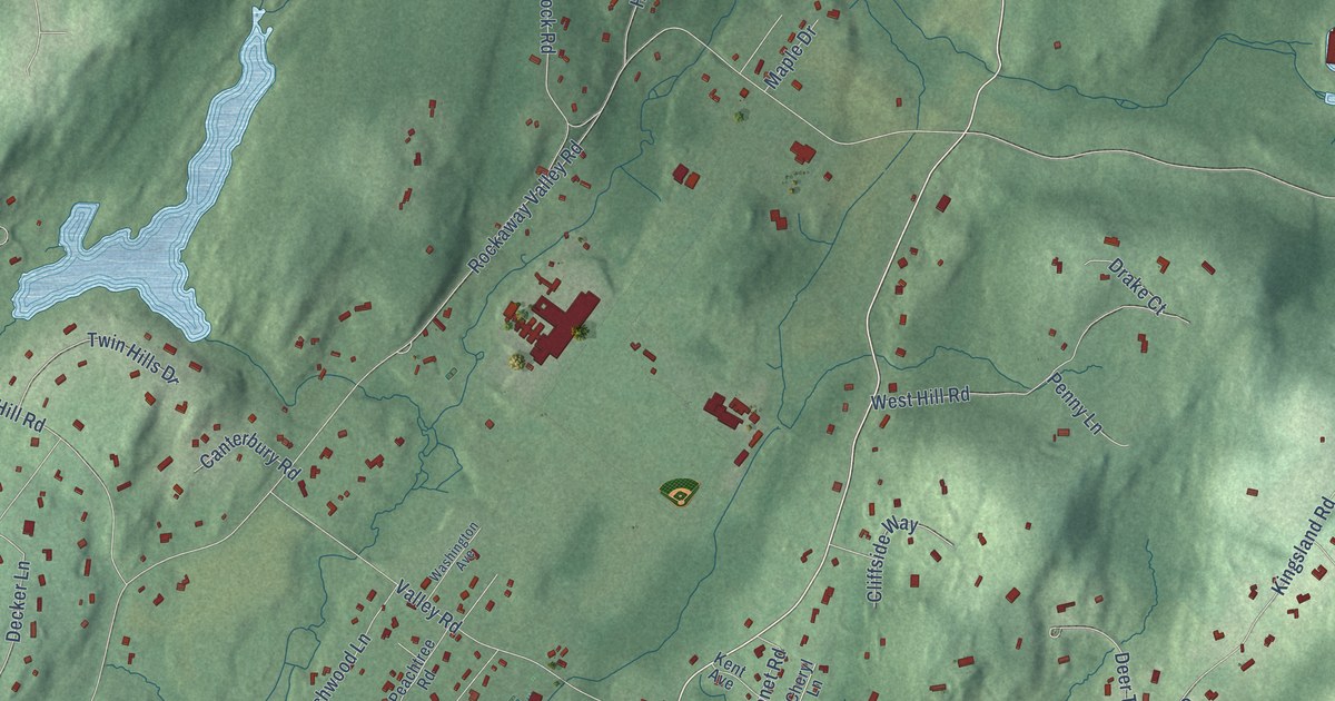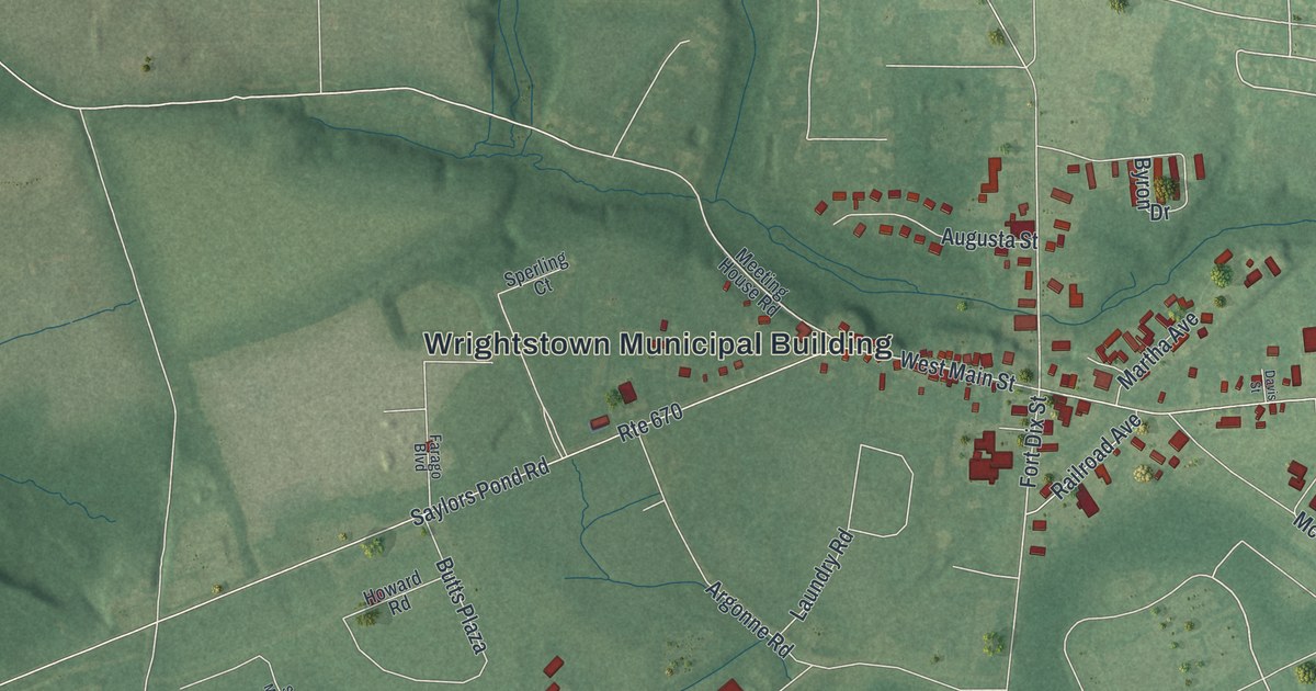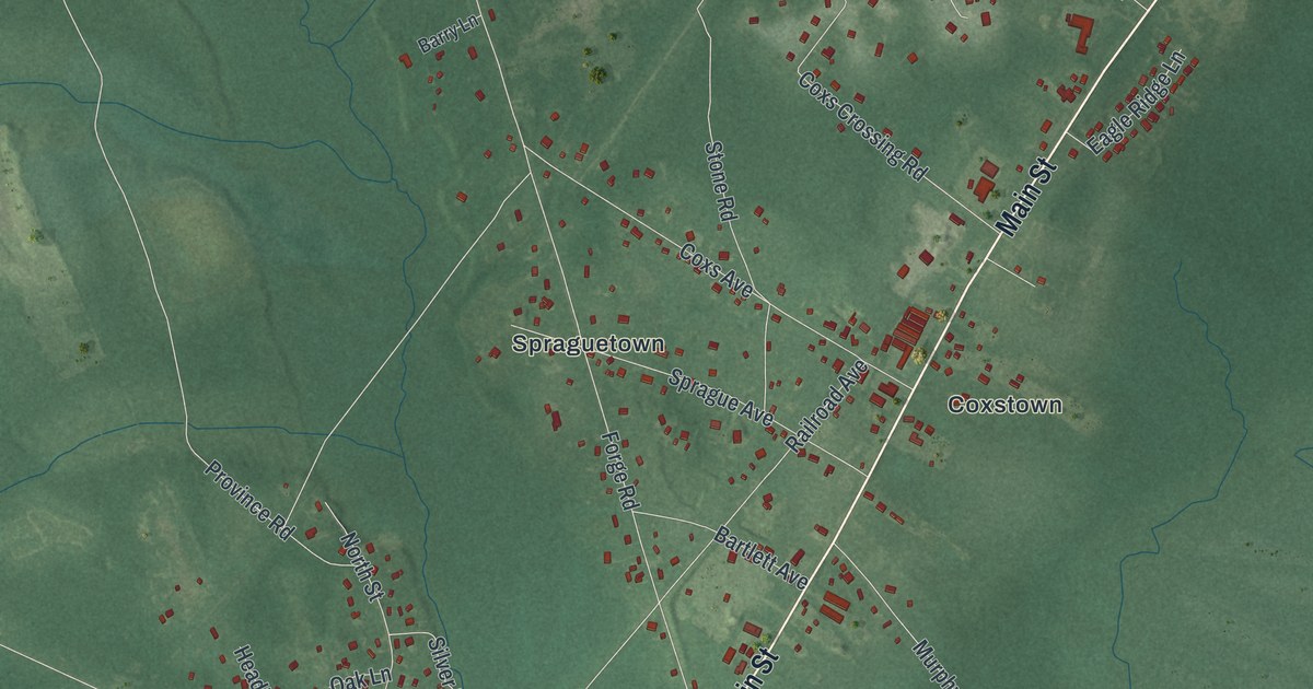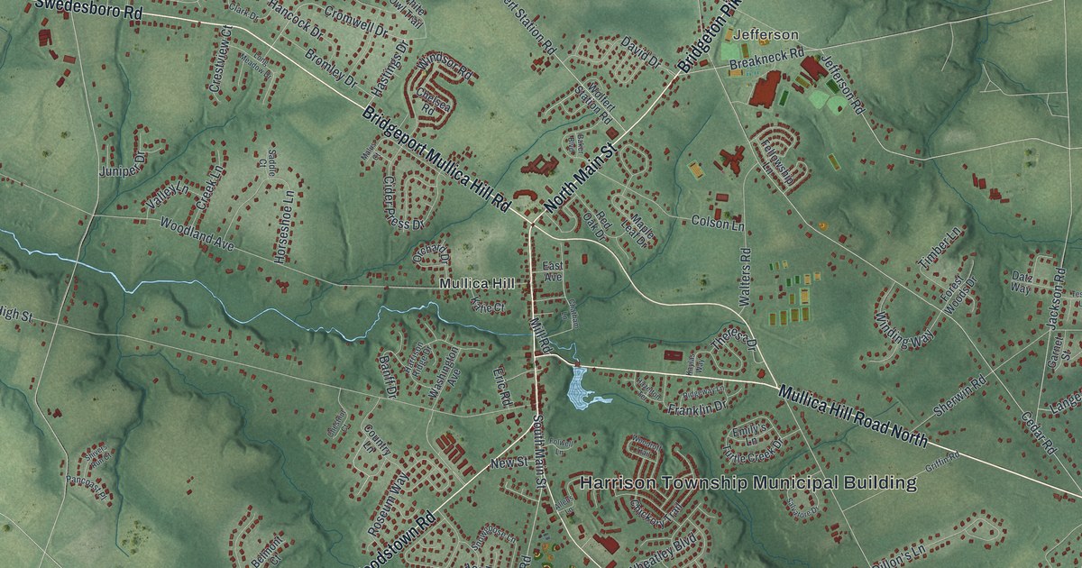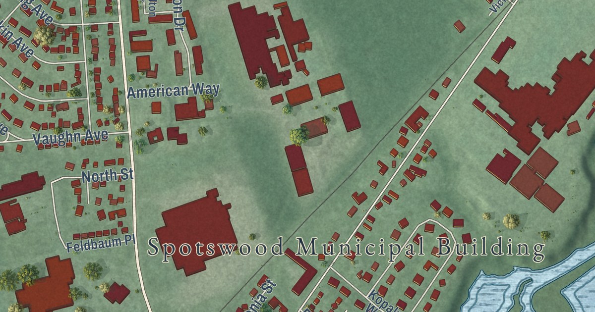
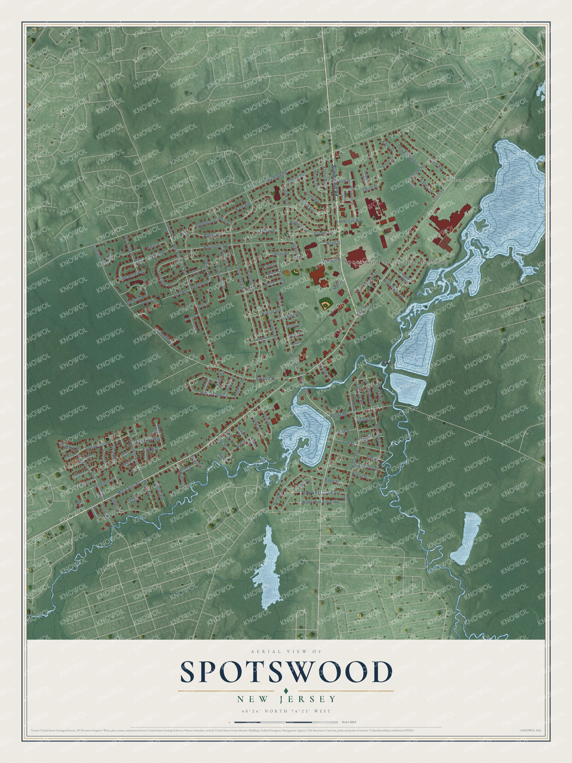
This beautifully detailed map of Spotswood, New Jersey was created in 2026 using aerial imagery combined with modern topographical, census, street and landmark data. It’s a one-of-a-kind view of Spotswood that combines accurate data with a vintage aesthetic. The map shows every building in its true location, many of the roads carry their names, and the shaded topographic relief shows the shape of the land.
Explore an aerial view of Spotswood, New Jersey
On the map you’ll find Spotswood Municipal Building and East Spotswood, along with Summerhill Road, Manalapan Road, Snowhill Street, Spotswood Drive, and more. If you look closely you can even find your house accurately drawn in its correct location. Zoom in on the preview to look for yours.
Did You Know?
Tory owners ran a charcoal iron furnace, a forge and flour mills here before the Revolution. When those owners fled, the New Jersey militia seized the works. Part of the old iron works dam still stood on Matchaponix Brook in 1939. That’s from the 1939 WPA guide to New Jersey.
Take a closer look at the Spotswood map
Names on this map
These names are printed on this map.
Places: Spotswood Municipal Building and East Spotswood.
Streets and roads: Summerhill Road, Manalapan Road, Snowhill Street, Spotswood Drive, Village Drive East, Village Drive West, Clark Avenue, Old Stage Road, Main Street, Adirondack Avenue, Crescent Avenue, Madie Avenue.
More street names, A to Z
Adams Place, Allen Court, American Way, Appleby Avenue, Arlington Avenue, Bank Drive, Barbara Avenue, Barbara Court, Beebe Avenue, Brian Lane, Brooklyn Avenue, Brookside Road, Brookwood Road, Bruning Lane, Brunswick Avenue, Burgess Avenue, Burlington Avenue, Butterfly Lane, Carley Place, Carol Lane, Cedar Brook Lane, Charles Street, Chestnut Street, Clyne Avenue, Crane Place, Daly Avenue, Daniel Road, Destefano Avenue, De Voe Avenue, Dora Avenue Extension, Dorothy Street, Easton Avenue, Easy Court, Eaton Avenue, Eisenhower Avenue, Ellenel Boulevard, Elmer Avenue, Elm Street, Ertle Avenue, Evelyn Terrace, Evergreen Street, Feldbaum Place, Fernhead Avenue, Gary Court, Gaskin Avenue, George Street, Gerard Court, Gloria Court, Gordon Avenue, Gover Court, Hamilton Drive, Herbert Avenue, Herman Drive, Hudson Avenue, Irving Avenue, Jackson Street, James Street, Janice Drive, Jefferson Drive, Jensen Avenue, John Street, June Road, Kane Avenue, Karen Court, Karen Street, Katz Way, Kensington Avenue, Kopak Way, Landvale Road, Leonard Avenue, Lettau Drive, Libby Court, Louie Court, Madison Avenue, Maiden Lane, Manhattan Avenue, Maple Street, Marilyn Place, Marks Avenue, Marlboro Avenue, Marlee Drive, Mary Lane, McKinley Avenue, Michael Road, Morris Avenue, Mott Place, Mundy Avenue, Newark Avenue, New Brunswick Avenue, New Street, Nicholas Court, Norman Court, North Street, Oak Street, Orchard Street, Outcalt Avenue, Pamela Court, Parkside Drive, Pine Street, Pine View Way, Polonia Street, Rainbow Lane, Richard Court, Richmond Avenue, Rieder Road, River Street, Robert Street, Sadowski Place, Samantha Way, Second Street, Sheryl Court, Short Street, Shupin Street, Sidney Avenue, Sloan Road, Snowhill Avenue, Somerdale Street, South Street, Spruce Street, Szymanski Drive, Vaughn Avenue, Victoria Avenue, Vincent Court, Vliet Lane, Vliet Street, Walker Avenue, Walnut Street, West End Avenue, Willard Clark Circle, William Street, Wilson Avenue, Woodland Road, Woods End Court, Wyoming Avenue.
See it on a wall
The Spotswood map as an 18 x 24 inch print in a black frame.

This beautifully detailed map of Spotswood makes an attractive addition to your office, library, or den, and it can even be used to teach children the geography and history of the area. It also makes a great gift for anyone who grew up in Spotswood or moved away. When you’re done exploring, click here to get your copy of the Spotswood map.