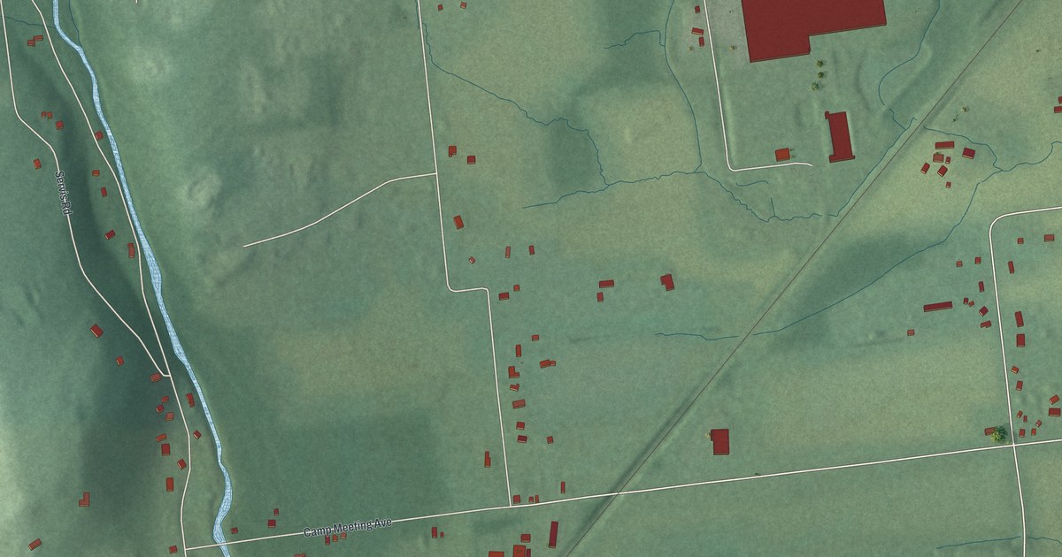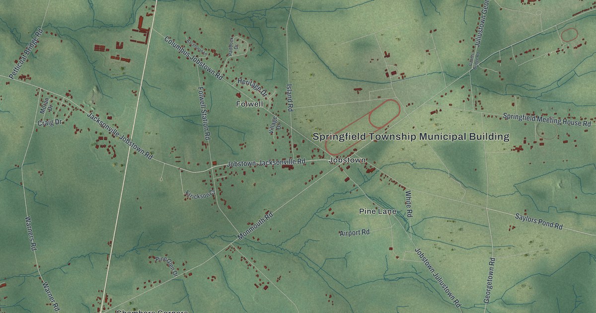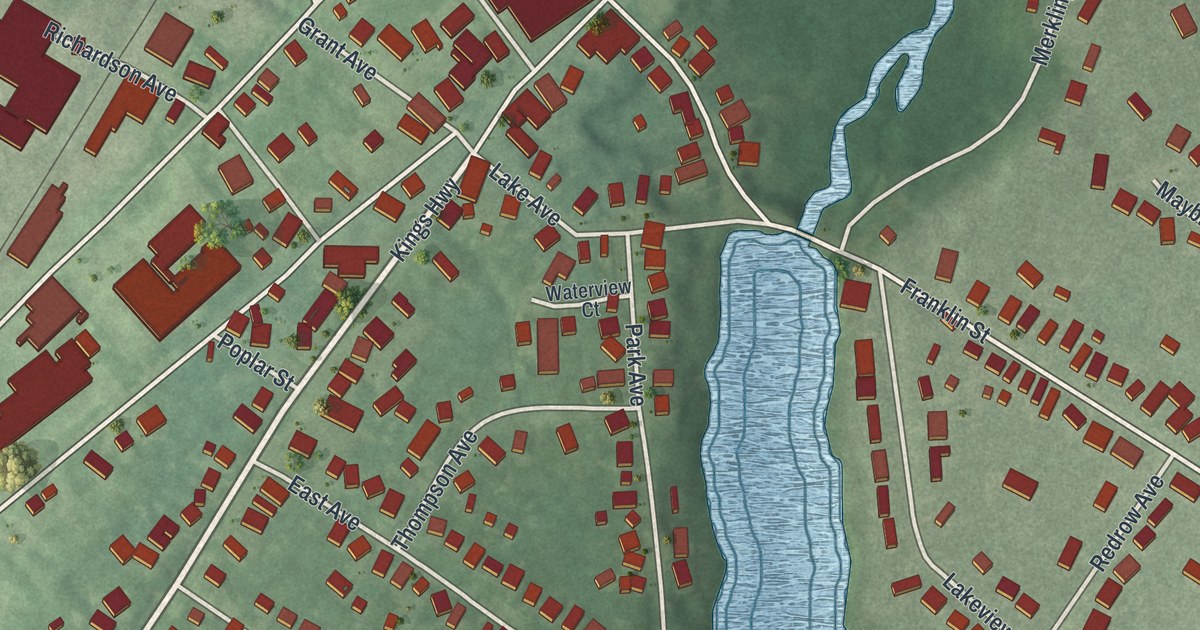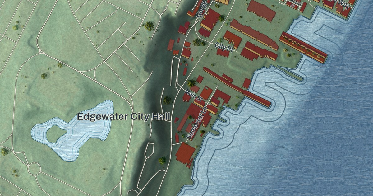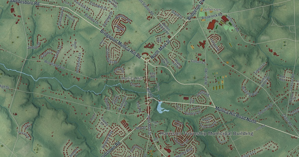
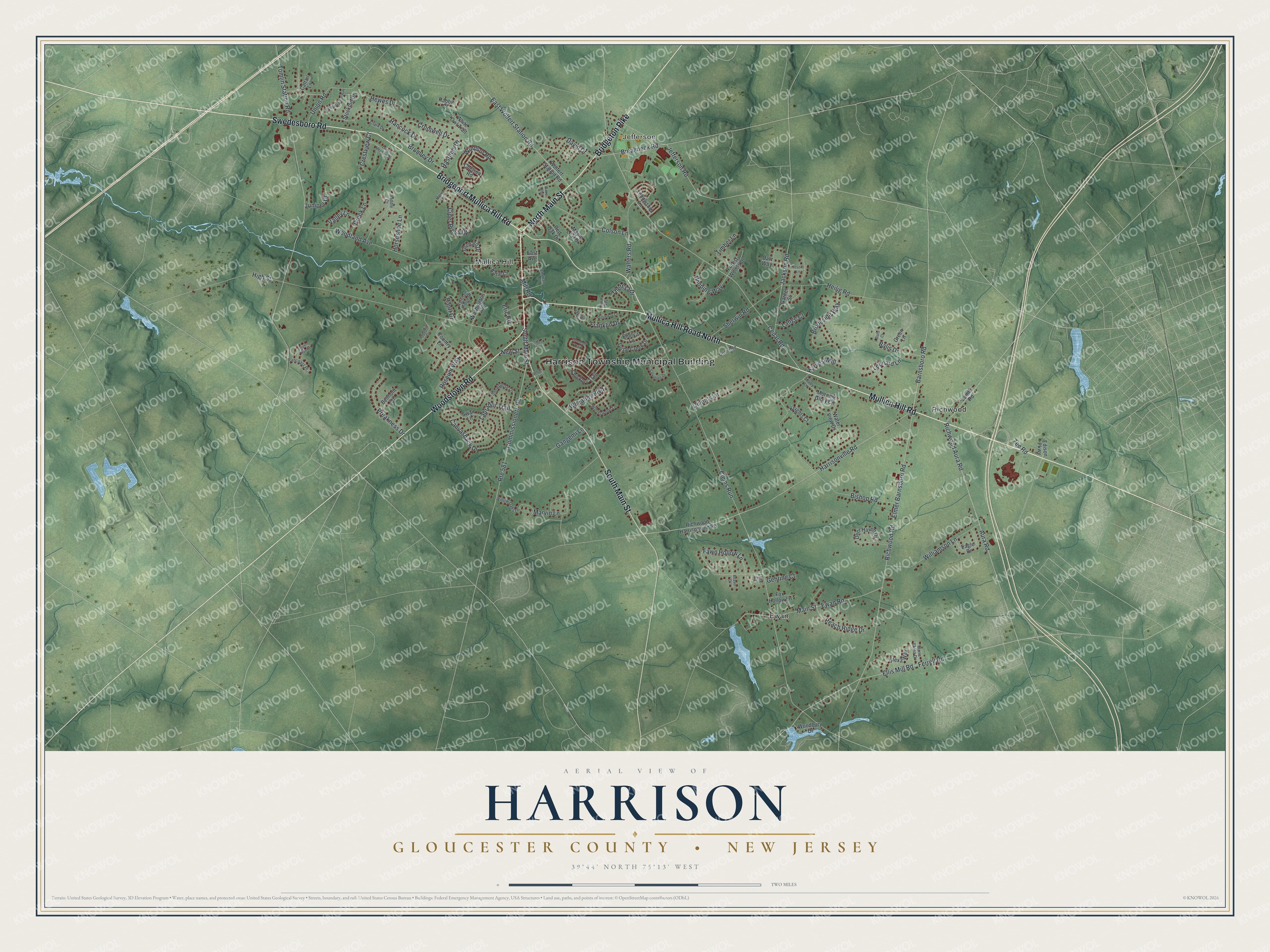
This beautifully detailed map of Harrison, Gloucester County, New Jersey was created in 2026 using aerial imagery combined with modern topographical, census, street and landmark data. It’s a one-of-a-kind view of Harrison that combines accurate data with a vintage aesthetic. The map shows every building in its true location, many of the roads carry their names, and the shaded topographic relief shows the shape of the land.
Explore an aerial view of Harrison, Gloucester County, New Jersey
On the map you’ll find Harrison Township Municipal Building, Jefferson, Ewan, Mullica Hill, and Richwood, along with Mullica Hill Road, Mullica Hill Road North, Bridgeton Pike, Swedesboro Road, Bridgeport Mullica Hill Road, South Main Street, Woodstown Road, and more. If you look closely you can even find your house accurately drawn in its correct location. Zoom in on the preview to look for yours.
Take a closer look at the Harrison, Gloucester County map
Names on this map
These names are printed on this map.
Places: Harrison Township Municipal Building, Jefferson, Ewan, Mullica Hill and Richwood.
Streets and roads: Mullica Hill Road, Mullica Hill Road North, Bridgeton Pike, Swedesboro Road, Bridgeport Mullica Hill Road, South Main Street, Woodstown Road, North Main Street, Hastings Drive, Harrisonville Road, Barnsboro Road, Cromwell Drive.
More street names, A to Z
Alexa Way, Allens Lane, Aura Road, Baker Boulevard, Balis Court, Balis Drive, Banff Drive, Beaver Court, Belmont Court, Bishop Road, Breakneck Road, Bromley Drive, Brookside Way, Canvasback Drive, Cattail Lane, Cedar Road, Chatham Lane, Chelsea Road, Chestnut Court, Chickory Trail, Cider Press Drive, Clark Drive, Clems Run, Colson Lane, Commissioners Road, Country Lane, Creek Lane, Crestview Court, Datz Way, David Drive, Deer Haven Drive, Dillon's Lane, Eagle Drive, East Avenue, East Wolfert Station Road, Edison Parkway, Ellis Mill Road, Elmer Barnsboro Road, Emily's Lane, Eric Road, Ewan Road, Fawn Hollow Lane, Fellowship Lane, Ferrell Road, Folwell Lane, Forest Woods Drive, Fox Hollow Lane, Franklin Drive, Gangemi Lane, Garnet Street, Gehring Court, Green Lane, Griffin Road, Hancock Drive, Harrison Ridge Drive, Harvest Mill, Hazelton Terrace, Heilig Road, Hewes Drive, High Street, Horseshoe Lane, Jackson Road, Jefferson Road, Juniper Drive, Katie Court, Kaylas Way, Knights Court, Labrador Trail, Lambs Road, Lange Court, Leonard Lane, Long Meadow Drive, Lynx Court, Main Street, Malus Court, Maple Leaf Drive, Maria Elena Drive, Marvin Lane, Mill Road, Morning Glory Circle, New Street, Orchard Drive, Pancoast Place, Peach Ridge Drive, Preakness Drive, Rabbit Court, Red Oak Drive, Richwood Aura Road, Richwood Harrisonville Road, Richwood Road, Ridgeway Lane, Roseum Way, Route 581, Saddle Court, Salvatore Drive, Shady Lane, Sherwin Road, Shivers Run Court, Snowgoose Lane, Stockton Drive, Swan Lane, Tesoro Lane, Theresa Drive, Timber Lane, Tomlin Station Road, Turtle Creek Drive, Union Road, Valley Lane, Walters Road, Washington Avenue, Water View Drive, Wheatley Boulevard, White Owl Trail, Williamson Lane, Willow Oaks Lane, Winding Way, Windsor Road, Winterwood Lane, Witherspoon Way, Wolfert Station Road, Woodbury Drive, Woodland Avenue, Woodruff Trail, Zee Road.
See it on a wall
The Harrison, Gloucester County map as an 18 x 24 inch print in a black frame.

This beautifully detailed map of Harrison, Gloucester County makes an attractive addition to your office, library, or den, and it can even be used to teach children the geography and history of the area. It also makes a great gift for someone who left Harrison and still calls it home. When you’re done exploring, click here to get your copy of the Harrison, Gloucester County map.