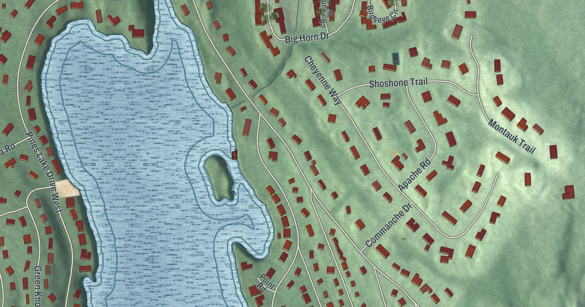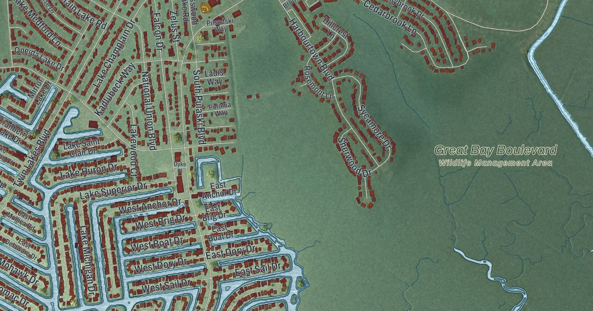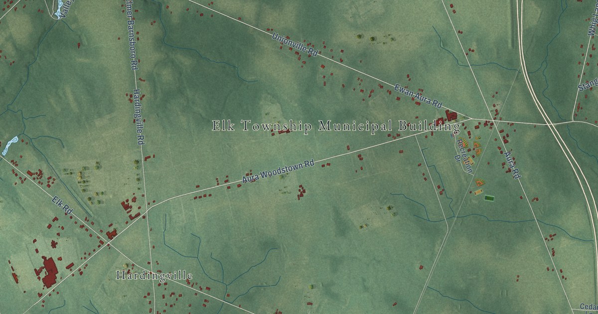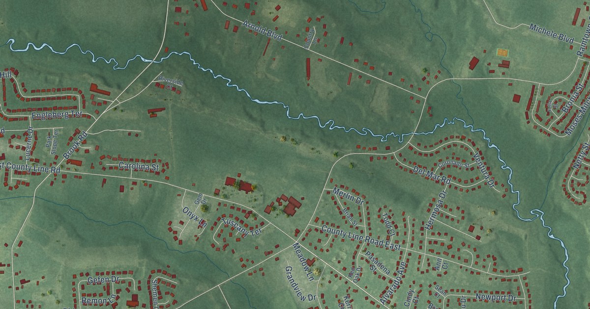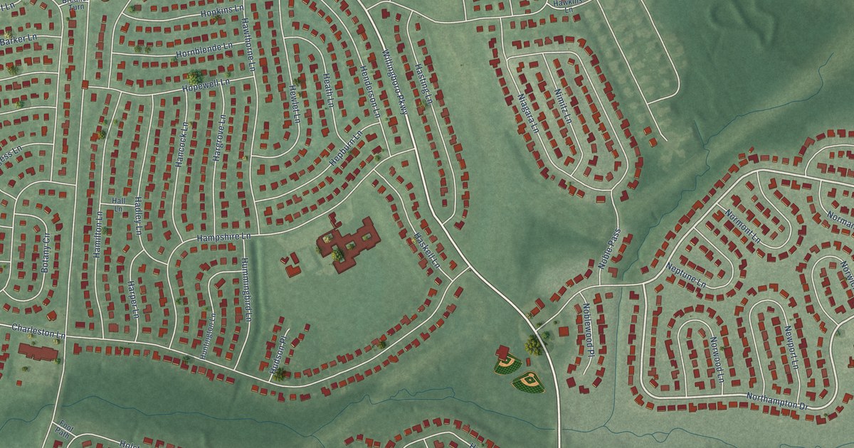
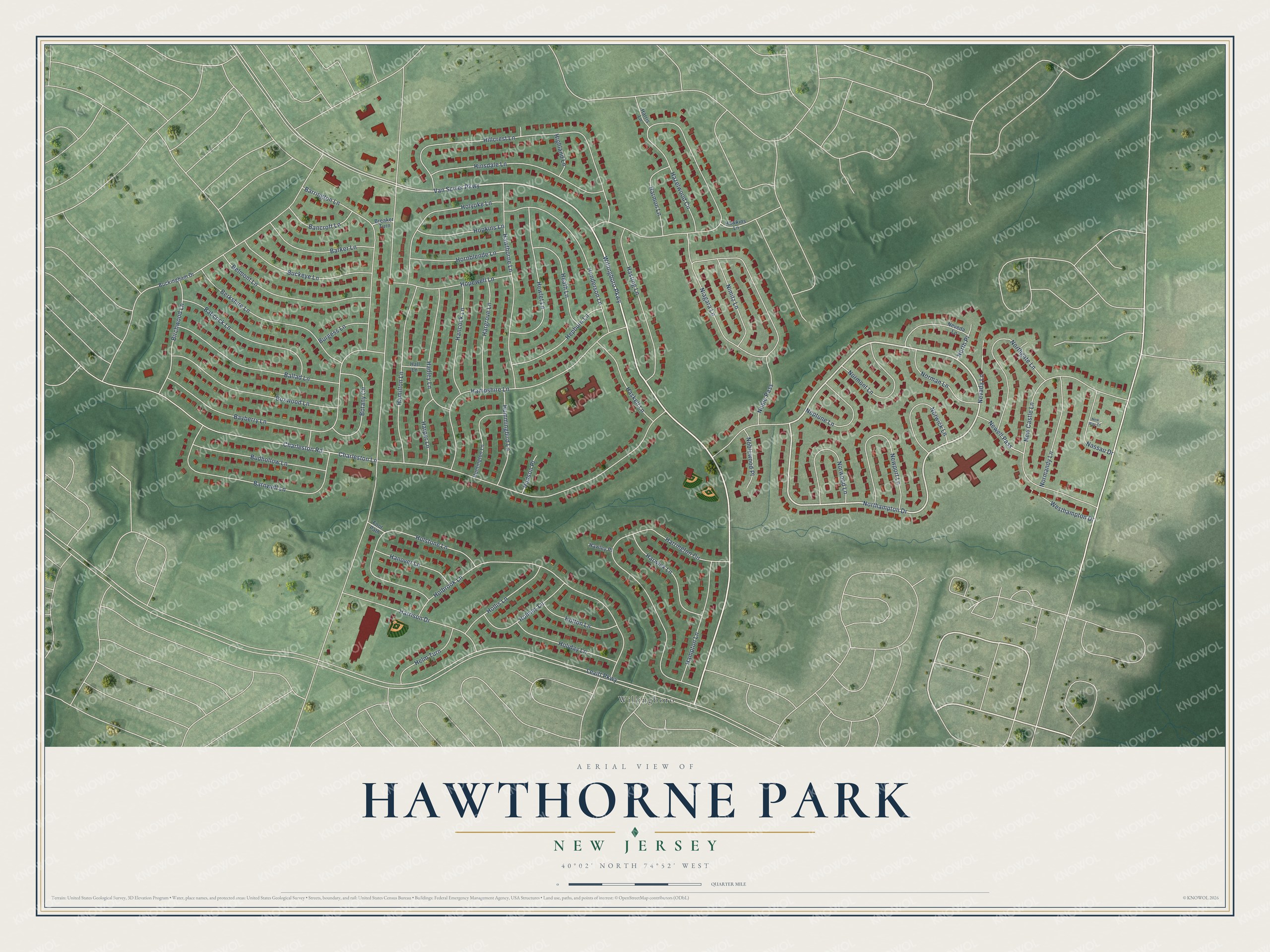
This beautifully detailed map of Hawthorne Park, New Jersey was created in 2026 using aerial imagery combined with modern topographical, census, street and landmark data. It’s a one-of-a-kind view of Hawthorne Park that combines accurate data with a vintage aesthetic. The map shows every building in its true location, many of the roads carry their names, and the shaded topographic relief shows the shape of the land.
Explore an aerial view of Hawthorne Park, New Jersey
On the map you’ll find Willingboro, along with Van Sciver Parkway, Willingboro Parkway, Northampton Drive, Charleston Road, Hazelwood Circle, Levitt Parkway, Niagara Lane, Harrington Circle, Hillcrest Lane, Holbrook Lane, Bayberry Lane, and more. If you look closely you can even find your house accurately drawn in its correct location. Zoom in on the preview to look for yours.
Take a closer look at the Hawthorne Park map
Names on this map
These names are printed on this map.
Places: Willingboro.
Streets and roads: Van Sciver Parkway, Willingboro Parkway, Northampton Drive, Charleston Road, Hazelwood Circle, Levitt Parkway, Niagara Lane, Harrington Circle, Hillcrest Lane, Holbrook Lane, Bayberry Lane, New Castle Lane.
More street names, A to Z
Babcock Lane, Ballad Lane, Bancroft Lane, Barker Lane, Barnwell Lane, Barrington Lane, Belmont Lane, Berkshire Lane, Birchwood Lane, Botany Circle, Boxwood Lane, Breaker Turn, Buckeye Lane, Buckingham Drive, Budhollow Lane, Burgess Lane, Charleston Lane, Foot Path, Hadley Lane, Hall Lane, Hamilton Lane, Hampshire Lane, Hampton Lane, Hancock Lane, Hanover Lane, Hargrove Lane, Harmon Lane, Harper Lane, Harris Lane, Harrison Drive, Harwick Lane, Haskell Lane, Hasting Lane, Hawkins Lane, Hawley Place, Hawthorne Lane, Heath Lane, Helm Turn, Henderson Lane, Hepburn Lane, Hewlet Lane, Highland Lane, Hinsdale Lane, Holiday Lane, Hollis Lane, Holmes Lane, Holstone Lane, Holton Lane, Holyoke Lane, Hopewell Lane, Hopkins Lane, Hornblende Lane, Hudson Place, Hummingbird Lane, Huntington Lane, Nassau Drive, Neptune Lane, Nevada Lane, Neveda Lane, Newell Pass, Newport Lane, New Way Court, Nimitz Lane, Noble Pass, Noblewood Place, Normandy Lane, Norman Lane, Normont Lane, Northgate Lane, North Place, Norwick Lane, Norwood Lane, Westhampton Drive.
See it on a wall
The Hawthorne Park map as a framed print. Swipe for more.


This beautifully detailed map of Hawthorne Park makes an attractive addition to your office, library, or den, and it can even be used to teach children the geography and history of the area. It also makes a great gift for someone who left Hawthorne Park and still calls it home. When you’re done exploring, click here to get your copy of the Hawthorne Park map.