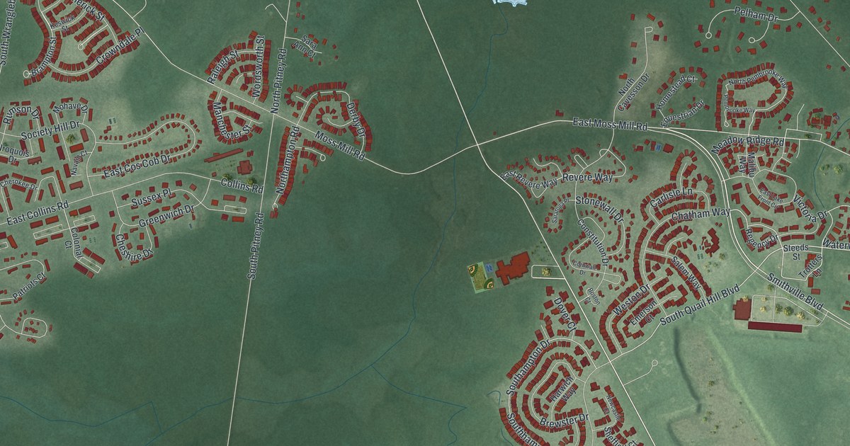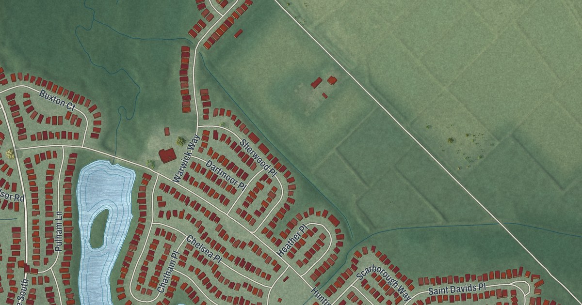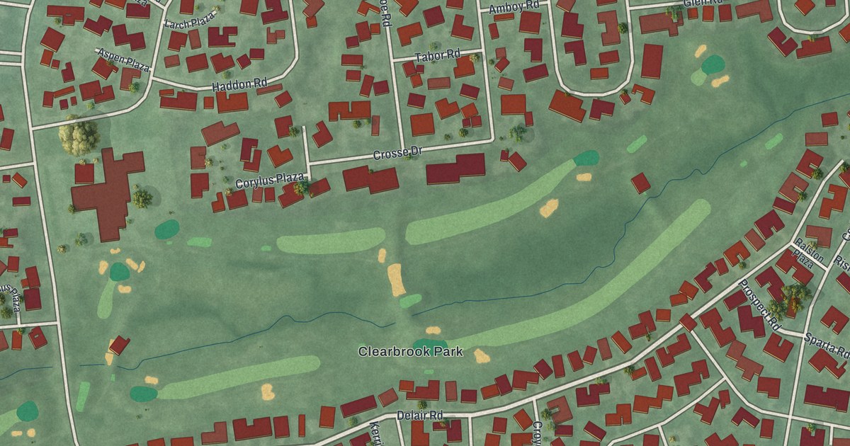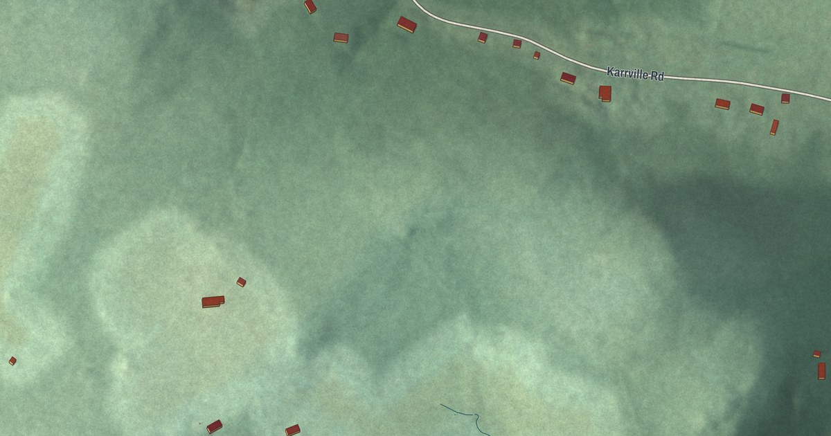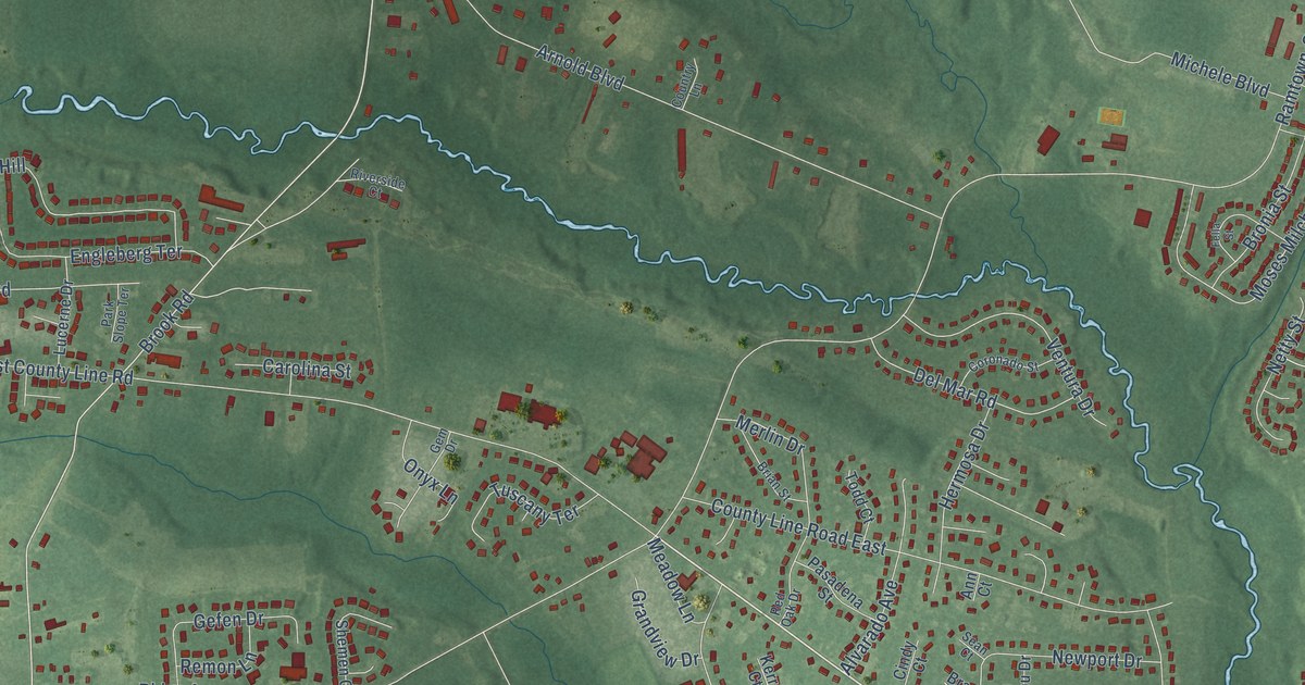
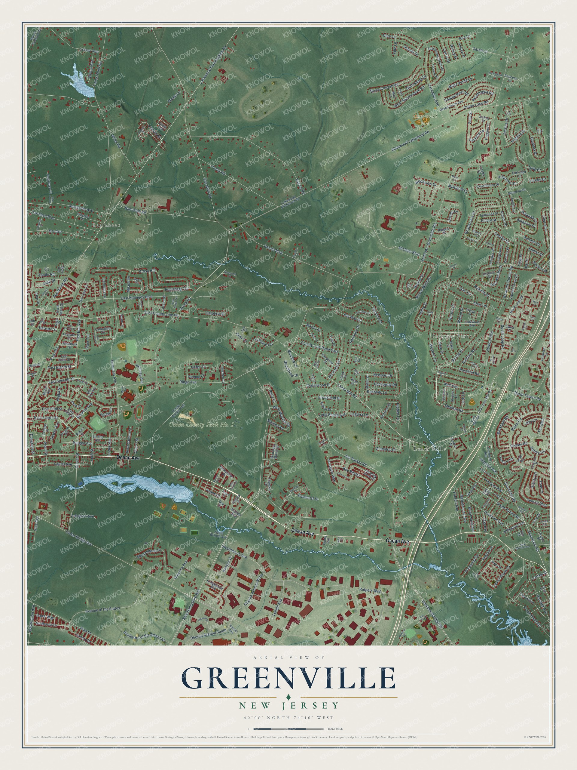
This beautifully detailed map of Greenville, New Jersey was created in 2026 using aerial imagery combined with modern topographical, census, street and landmark data. It’s a one-of-a-kind view of Greenville that combines accurate data with a vintage aesthetic. The map shows every building in its true location, many of the roads carry their names, and the shaded topographic relief shows the shape of the land.
Explore an aerial view of Greenville, New Jersey
On the map you’ll find Deerwood Park, Parkway Pines, Larrabees, and Lanes Mills, along with Ocean Avenue, Lanes Mill Road, Burrsville Road, Stephan Road, East End Avenue, Allenwood Lakewood Road, Larsen Street, Brook Road, and more. If you look closely you can even find your house accurately drawn in its correct location. Zoom in on the preview to look for yours.
Did You Know?
From Internet Archive: "The old Union school-house was built in 1823; Church's is so named from Joseph Church, upon whose land it was built; Hickory Grove was formerly known as the octagon, or eight square; Independent was built in 1844, Friendship in 1848, and Greenville in 1863."
Greenville is a community in Ocean County.
Take a closer look at the Greenville map
Names on this map
These names are printed on this map.
Places: Deerwood Park, Ocean County Park No. 1, Parkway Pines, Larrabees, Lanes Mills and Ocean County Park.
Streets and roads: Ocean Avenue, Lanes Mill Road, Burrsville Road, Stephan Road, East End Avenue, Allenwood Lakewood Road, Larsen Street, Brook Road, Squrnkum Road, Cedar Bridge Avenue, New Hampshire Avenue, Ridge Avenue.
More street names, A to Z
13th Street, Abraham Drive, Acadia Lane, Adriana Court, Alamitos Drive, Alan Terrace, Albatross Drive, Alexander Avenue, Alvarado Avenue, America Avenue, Andrew Street, Ann Court, Apollo Road, Apple Street, Arlington Avenue, Arlyn Drive, Arnold Boulevard, Arosa Hill, Aspen Court, Aspen Lane, Aspen Street, Assateague Road, Astor Drive, August Drive, Autumn Drive, Avenue of the States, Barbara Lane, Barrymor Drive, Bayberry Court, Bay Hill Road, Belvedere Lane, Bergen Avenue, Blake Circle, Blake Drive, Blue Trail Road, Boulevard of the Americas, Brad Court, Brentwood Avenue, Brian Street, Bridgewood Avenue, Bristlecone Drive, Bronia Street, Brookfield Drive, Bry Avenue, Bryce Canyon Road, Burke Lane, Burnt Tavern Road, Burton Drive, Cabinfield Circle, Calloway Street, Canary Drive, Capitol Reef Road, Carolina Street, Carrie Drive, Cascades Avenue, Cedar Avenue, Cedarwood Drive, Central Boulevard, Chambersbridge Road, Cherry Lane, Cherry Street, Cindy Court, Clay Avenue, Clay Circle, Clover Street, Coleman Avenue, Congress Street, Conifer Street, Constable Street, Constitution Drive, Coronado Street, Cottage Place, Country Lane, County Line Road East, Crater Lake Road, Cromwell Avenue, Darley Circle, Davids Lane, Davidson Avenue, Deborah Lane, Dee Court, Del Mar Road, Dena Court, Denby Avenue, Dewey Avenue, Dryden Road, East County Line Road, East Eighth Street, East Fifth Street, East Fourth Street, East Harvard Street, East Kennedy Boulevard, East Ninth Street, East Seventh Street, East Shenendoah Road, Edie Lane, Eighth Street, Eldorado Drive, Elena Court, Elm Street, Emory Street, Engleberg Terrace, Evergreen Place, Ezara Court, Fella Street, Flintoft Avenue, Forest Avenue, Forge Pond Road, Forsgate Way, Fort Street, Fountain Drive, Garden Avenue, Gefen Drive, Gem Drive, Gettysburg Drive, Gina Street, Glacier Drive, Gladiola Drive, Goldcrest Drive, Grand Teton Avenue, Grandview Drive, Grant Avenue, Green Grove Road, Harvard Avenue, Harvard Street, Hawk Way, Herborn Avenue, Herkimer Avenue, Hermosa Drive, Hidden Lane, Higgins Court, Hillcrest Avenue, Holly Street, Howell Court, Hummingbird Court, Iris Court, Ivanna Lane, Ivy Place, Jack Martin Boulevard, Jacob Drive, Jacqueline Avenue, Jason Place, Jeffrey Lane, Jessica Court, Jessica Drive, Joda Drive, Joe Parker Road, Johnston Avenue, Joshua Court, Jumping Brook Drive, Juniper Place, Kenyon Drive, Kerry Court, Kevin Court, Laguna Lane, Lakewood Allenwood Road, Lakewood Farmingdale Road, Lamb Road, Lane Mill Road, Lanes Pond Road, Lark Lane, Larrabee Boulevard, Laura Court, Laurel Avenue, Laurel Brook Drive, Laurel Crest Drive, Lehigh Avenue, Leo Court, Leonard Street, Lido Court, Lilac Place, Lincoln Street, Linden Avenue, Lisa Drive, Lockwood Avenue, Locust Avenue, Long Beach Avenue, Lorelei Drive, Loretta Court, Lucerne Drive, Lynn Court, Maida Lane, Malibu Drive, Manetta Avenue, Maple Avenue, Maria Lane, Markham Road, Mars Avenue, Maxim Southard Road, Meadow Lane, Medina Road, Memorial Drive, Merlin Drive, Mesa Verde Lane, Metedeconk Avenue, Michele Boulevard, Michele Way, Milano Drive, Miller Avenue, Miller Road, Mistletoe Court, Morris Avenue, Moses Milch Drive, Muir Lane, Nancy Street, Nate Lane, Natures Way, Negba Street, Neil Avenue, Netty Street, Newport Drive, Newtons Corner Road, New York Avenue, Ninth Street, Noam Lane, North Apple Street, North Loop Road, North Oakland Street, Oak Avenue, Oak Glen Road, Oak Terrace, Oak Tree Avenue, Oberlin Avenue North, Oberlin Avenue South, Old Lanes Mill Road, Onyx Lane, Orchard Court, Paris Court, Park Avenue, Park Place, Park Slope Terrace, Park Terrace, Park Terrace Street, Partridge Lane, Pasadena Street, Patmore Road, Paulette Lane, Pearl Street, Pine Avenue, Pinehurst Drive, Pine Needle Street, Pine Street, Pinewood Drive, Pinyon Street, Poplar Street, Porter Road, Primrose Lane, Princess Avenue, Princess Court, Ramsey Avenue, Ramtown-Greenville Road, Randolph Road, Rappleyea Court, Red Bluff Road, Red Oak Drive, Redondo Lane, Regina Drive, Remon Lane, Renee Court, Riverside Court, Roberta Drive, Rockaway Road, Rockefeller Drive, Roe Lane, Rosalind Road, Rosebank Street, Rutgers Boulevard, Rutgers Drive, Sally Street, Sampson Avenue, Sandra Place, Sanford Road, Sarah Lane, Scarlet Lane, School Street, Sean Court, Sea Point Drive, Shemen Court, Shenandoah Drive, Sidney Court, Sienna Way, Skipper Lane, Somerset Avenue, South Branch Avenue, South Loop Road, Squankum Road, Stephen Road, Stirling Avenue, Sunset Drive, Susan Drive, Swarthmore Avenue, Syracuse Court, Tamarack Street, Tamarind Road, Teaberry Lane, The Boulevard, Tilford Boulevard, Todd Court, Tony Court, Truman Street, Tulip Court, Tuscany Terrace, Twin Oaks Drive, Vasser Avenue, Ventura Drive, Vienna Road, Vine Avenue, Vintage Circle, Virginia Drive, Vivian Court, Walnut Avenue, Washington Avenue, Waverly Place, Western Drive, West Medina Road, West Shenendoah Road, Willow Avenue, Wilson Drive, Wisteria Place, Woodlake Drive, Woodlake Manor Drive, Woodview Drive, Yosemite Road.
See it on a wall
The Greenville map as a framed print. Swipe for more.


This beautifully detailed map of Greenville makes an attractive addition to your office, library, or den, and it can even be used to teach children the geography and history of the area. It also makes a great gift for anyone with Greenville roots. When you’re done exploring, click here to get your copy of the Greenville map.