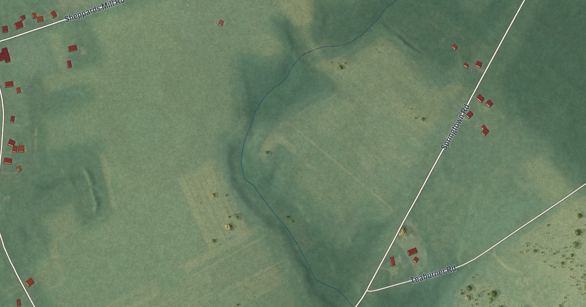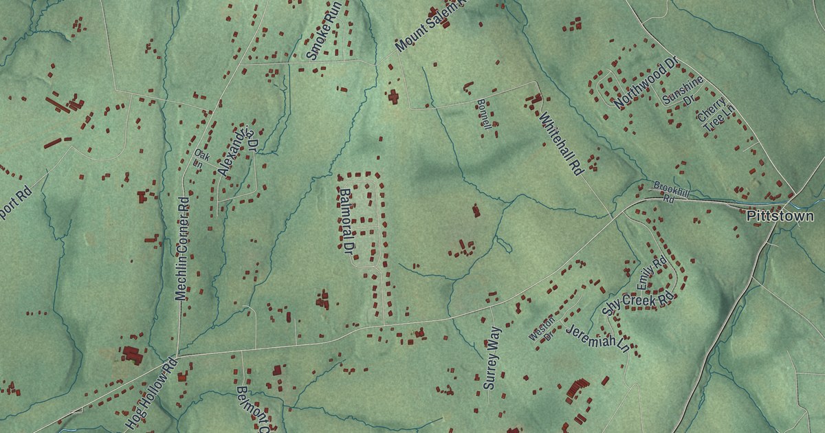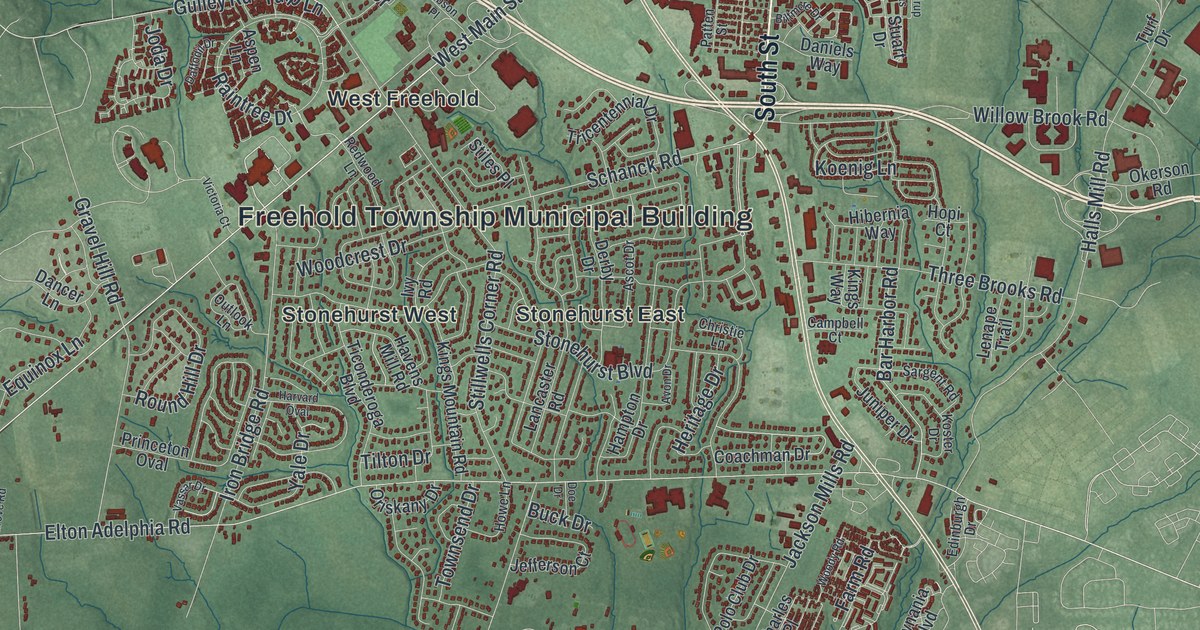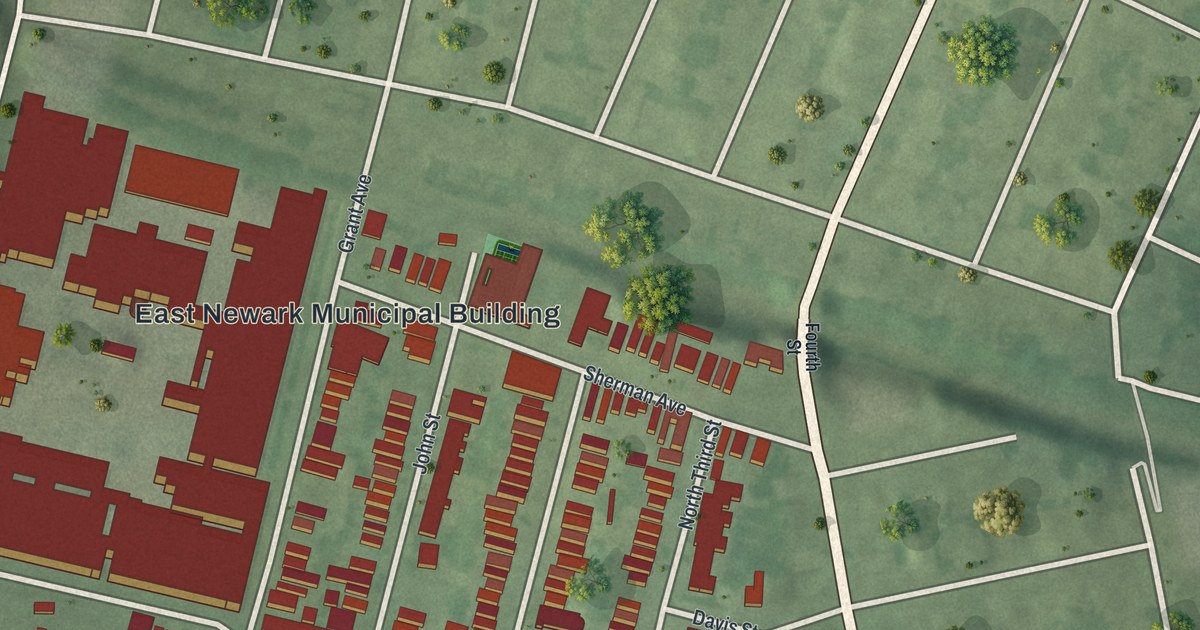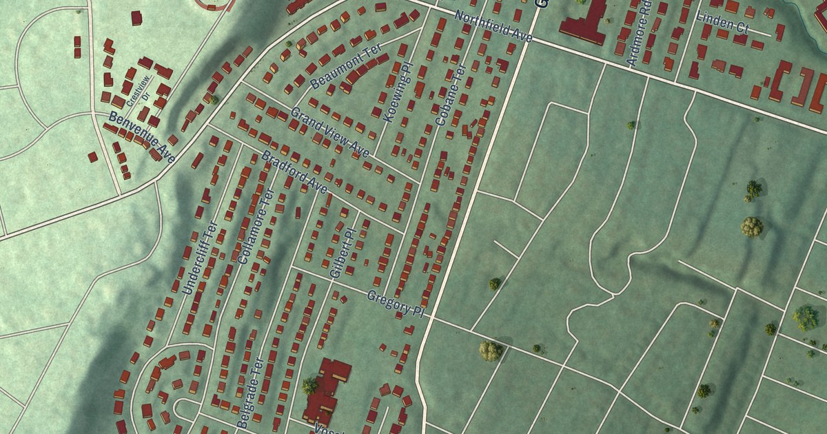
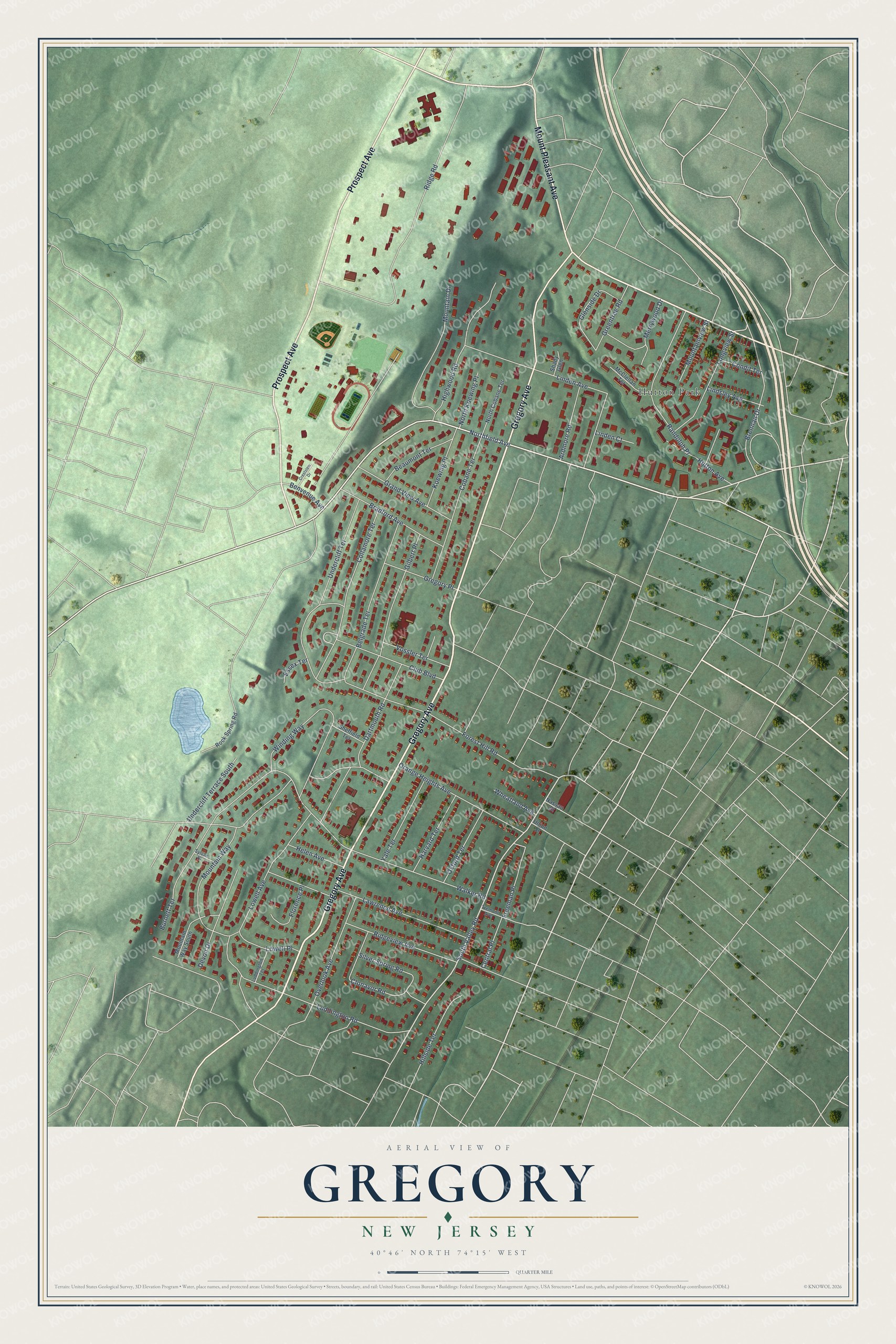
This beautifully detailed map of Gregory, New Jersey was created in 2026 using aerial imagery combined with modern topographical, census, street and landmark data. It’s a one-of-a-kind view of Gregory that combines accurate data with a vintage aesthetic. The map shows every building in its true location, many of the roads carry their names, and the shaded topographic relief shows the shape of the land.
Explore an aerial view of Gregory, New Jersey
On the map you’ll find Hutton Park, along with Gregory Avenue, Prospect Avenue, Mount Pleasant Avenue, Northfield Avenue, South Valley Road, Ridge Road, Forest Hill Road, Walker Road, Winding Way, Luddington Road, Burnett Terrace, and more. If you look closely you can even find your house accurately drawn in its correct location. Zoom in on the preview to look for yours.
Did You Know?
From Internet Archive: "The first colonist of the Gregory name was Henry K. who came from Nottingham, England, about 1633, and lived in Springfield, Mass. and Stratford, Conn."
Gregory is a community in Essex County.
Take a closer look at the Gregory map
Names on this map
These names are printed on this map.
Places: Hutton Park.
Streets and roads: Gregory Avenue, Prospect Avenue, Mount Pleasant Avenue, Northfield Avenue, South Valley Road, Ridge Road, Forest Hill Road, Walker Road, Winding Way, Luddington Road, Burnett Terrace, Lowell Avenue.
More street names, A to Z
Ardmore Road, Beaumont Terrace, Belgrade Terrace, Benvenue Avenue, Bradford Avenue, Brennan Drive, Central Place, Clonavor Road, Club Boulevard, Cobane Terrace, Collamore Terrace, Condit Terrace, Crestview Drive, Dartmouth Road, Devon Drive, Essex Terrace, Florence Place, Freeman Place, Gilbert Place, Glenside Drive, Grand View Avenue, Greentree Road, Gregory Place, Harvard Terrace, Helen Avenue, Highwood Road, Hillside Terrace, Hutton Avenue, Koewing Place, Lawrence Avenue, Linden Avenue, Linden Court, Lindsley Avenue, Longview Street, Lowell Place, Luddington Terrace, McClellan Terrace, Merrywood Drive, Mountain Drive, Mountainview Street, Mountain Way, Mountain Way South, Nassau Street, North Cobane Terrace, North Koewing Place, Orange Heights Avenue, Overlook Avenue, Oxford Terrace, Randolph Place, Ridgeview Avenue, Rock Spring Road, Shady Glen, Sheffield Terrace, Silver Spring Road, Sylvan Place, Tremont Avenue, Undercliff Terrace, Undercliff Terrace South, Union Street, Vossler Terrace, Wheatland Avenue, Yale Terrace.
See it on a wall
The Gregory map as a framed print. Swipe for more.


This beautifully detailed map of Gregory makes an attractive addition to your office, library, or den, and it can even be used to teach children the geography and history of the area. It also makes a great gift for anyone who grew up in Gregory or moved away. When you’re done exploring, click here to get your copy of the Gregory map.