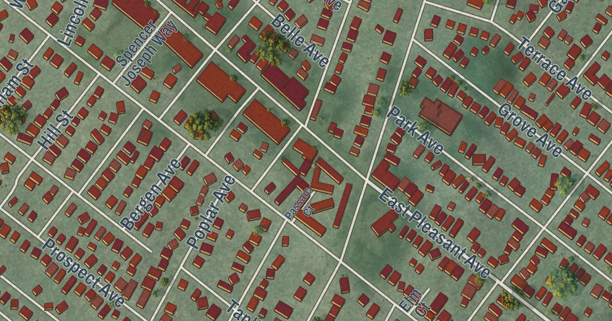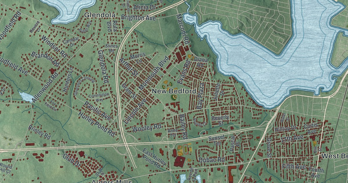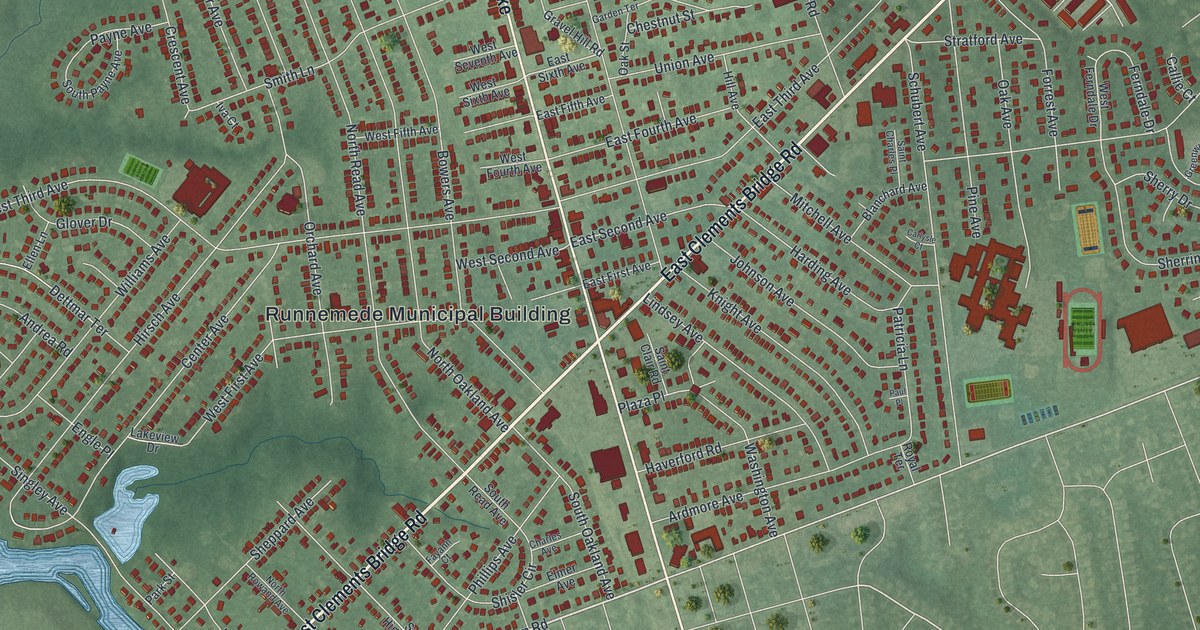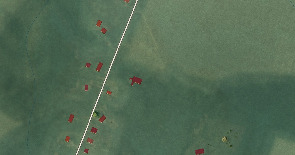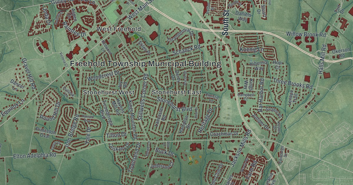
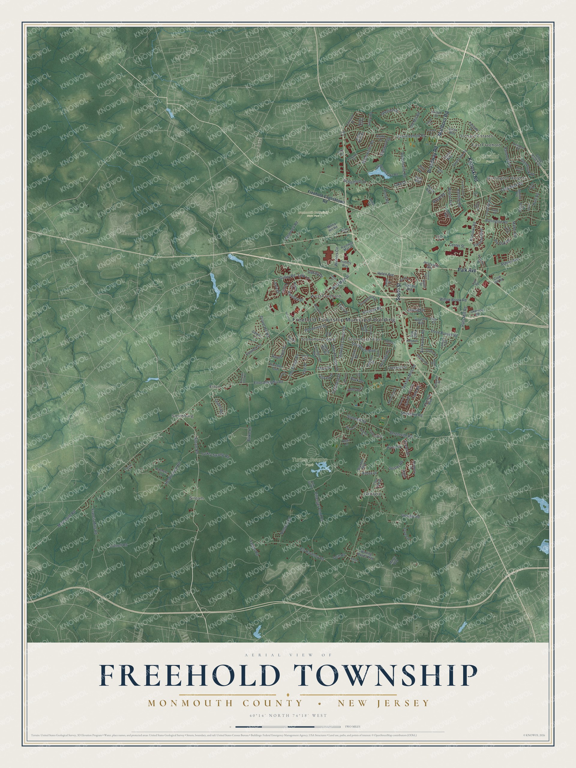
This beautifully detailed map of Freehold, Monmouth County, New Jersey was created in 2026 using aerial imagery combined with modern topographical, census, street and landmark data. It’s a one-of-a-kind view of Freehold that combines accurate data with a vintage aesthetic. The map shows every building in its true location, many of the roads carry their names, and the shaded topographic relief shows the shape of the land.
Explore an aerial view of Freehold, Monmouth County, New Jersey
On the map you’ll find Freehold Township Municipal Building, Durand Park, Monmouth Battlefield State Park, Turkey Swamp Park, Burlington Heights, East Freehold, Elton, Georgia, Orchard Estates, Siloam, Smithburg, Stonehurst East, and more. If you look closely you can even find your house accurately drawn in its correct location. Zoom in on the preview to look for yours.
Take a closer look at the Freehold, Monmouth County map
Names on this map
These names are printed on this map.
Places: Freehold Township Municipal Building, Durand Park, Monmouth Battlefield State Park, Turkey Swamp Park, Siloam, Smithburg, Elton, Georgia, Stonehurst West, Burlington Heights, West Freehold, East Freehold, Stonehurst East and Orchard Estates.
Streets and roads: Broadway Road, Park Avenue, Kozloski Road, Marlboro Road, South Street, Siloam Road, West Main Street, Schanck Road, Hunt Road, Stonehurst Boulevard, Monmouth Road, Pittenger Pond Road.
More street names, A to Z
Aimee Drive, Appian Court, Asbury Avenue, Ascot Drive, Aspen Lane, Avon Drive, Bar Harbor Road, Bergerville Road, Betsy Ross Drive, Biltmore Drive, Bradley Drive, Brandon Boulevard, Buck Drive, Bunker Hill Road, Burke Road, Burlington Road, Campbell Court, Center Street, Chambry Court, Charles Place, Christie Lane, Clover Court, Coachman Drive, Colts Neck Road, Concord Drive, Cottrell Road, Country View Drive, Craig Road, Crow Hill Road, Crystal Court, Daffodil Drive, Dancer Lane, Daniels Way, Derby Drive, Doe Drive, Drift Road, Dunberry Drive, Dutch Lane Road, Eaglenest Road, East Freehold Road, Edinburgh Drive, Edwards Drive, Elton Adelphia Road, Ely Harmony Road, Equinox Lane, Exeter Drive, Farm Road, Francis Mills Road, Freehold-Englishtown Road, Freneau Boulevard, Geisler Road, Georgia Road, Gibson Place, Ginesi Drive, Glenbrook Road, Glenhill Road, Gravel Hill Road, Gulley Road, Halls Mill Road, Hampton Drive, Hance Boulevard, Harding Road, Harvard Oval, Havens Mill Road, Helen Avenue, Hendrickson Road, Heritage Drive, Hibernia Way, Hilltop Road, Hopi Court, Hovnania Boulevard, Howe Lane, Iron Bridge Road, Ivy Road, Jackson Mills Road, Jefferson Court, Jerseyville Avenue, Joda Drive, Joysan Terrace, Juniper Drive, Kentucky Way, Kings Mountain Road, Kings Way, Kirwan Court, Koenig Lane, Kondrup Was, Koster Drive, Lake Drive, Lancaster Road, Leiden Road, Lenape Trail, Longview Avenue, Love Lane, Luiz Lane, Maher Road, Marys Way, Militia Hill Road, Monarch Lane, Nomoco Road, Oakley Drive, Okerson Road, Old Mill Road, Opatut Way, Oriskany Drive, Outlook Lane, Palisade Drive, Park Svc Road, Partners Lane, Patten Street, Pine Avenue, Pin Oak Road, Polo Club Drive, Pond Road, Princeton Oval, Quail Lane, Raceway Mall Drive, Raintree Drive, Randolph Road, Redwood Lane, Rhea Street, Riviera Road, Robertsville Road, Rock Oak Road, Round Hill Drive, Royal Road, Rustic Way, Ryan Boulevard, Sara Drive, Sargent Road, Saxon Court, Schibanoff Lane, School Road East, Seaman Drive, Shady Lane, Sheffield Drive, Sherwood Drive, Shetland Way, Silvers Road, Stiles Place, Stillwells Corner Road, Stirrup Drive, Stonehill Road, Strickland Road, Stuart Drive, Tally Drive, Thompson Grove Road, Three Brooks Road, Ticonderoga Boulevard, Tilton Drive, Topanemus Lake Road, Townsend Drive, Tree Line Drive, Tricentennial Drive, Trinity Place, Trotters Way, Tulip Lane, Turf Drive, Turkey Swamp Road, Tuscan Drive, Vail Place, Vassar Drive, Victoria Court, Waterworks Road, Weaverville Road, Wellington Road, Wemrock Road, Willow Brook Road, Wilson Avenue, Winding Woods Way, Winners Circle, Woodcrest Drive, Woody Road, Yaeger Road, Yale Drive.
See it on a wall
The Freehold Township, Monmouth County map as an 18 x 24 inch print in a black frame.

This beautifully detailed map of Freehold, Monmouth County makes an attractive addition to your office, library, or den, and it can even be used to teach children the geography and history of the area. It also makes a great gift for anyone who grew up in Freehold or moved away. When you’re done exploring, click here to get your copy of the Freehold, Monmouth County map.