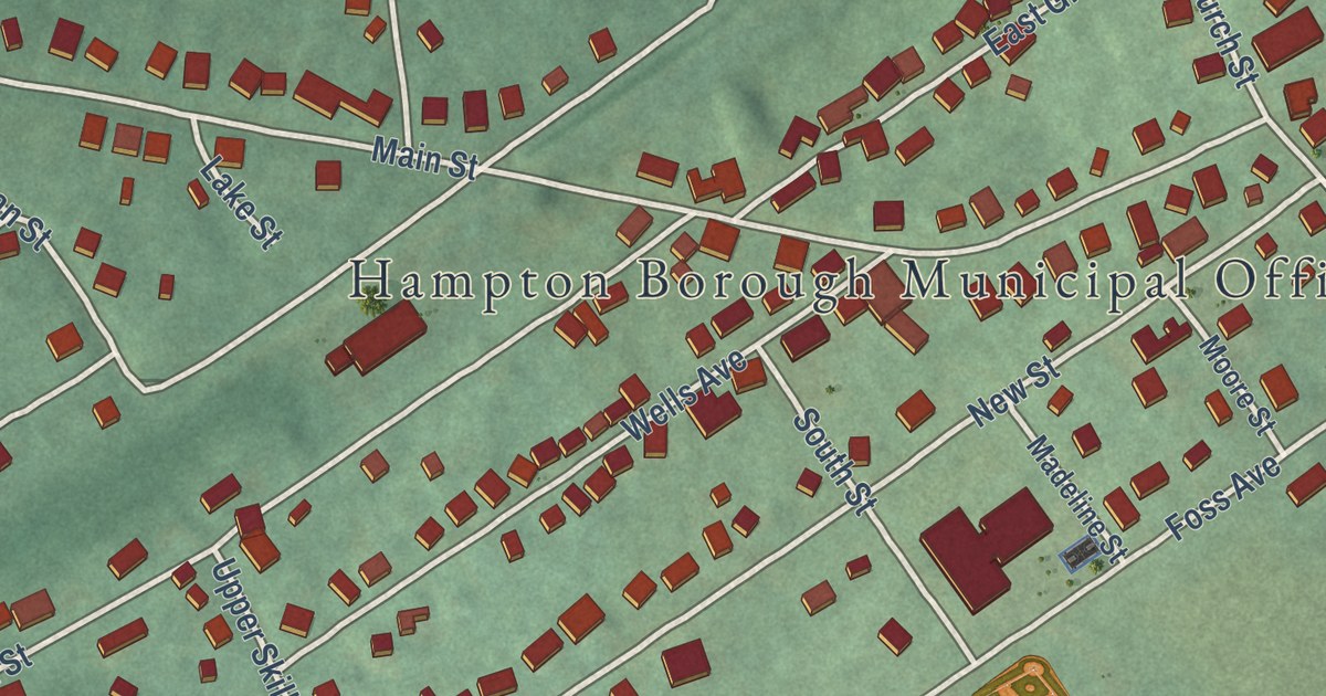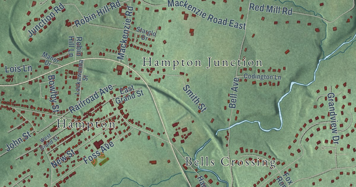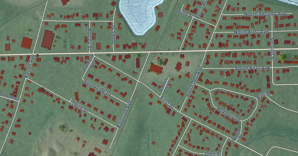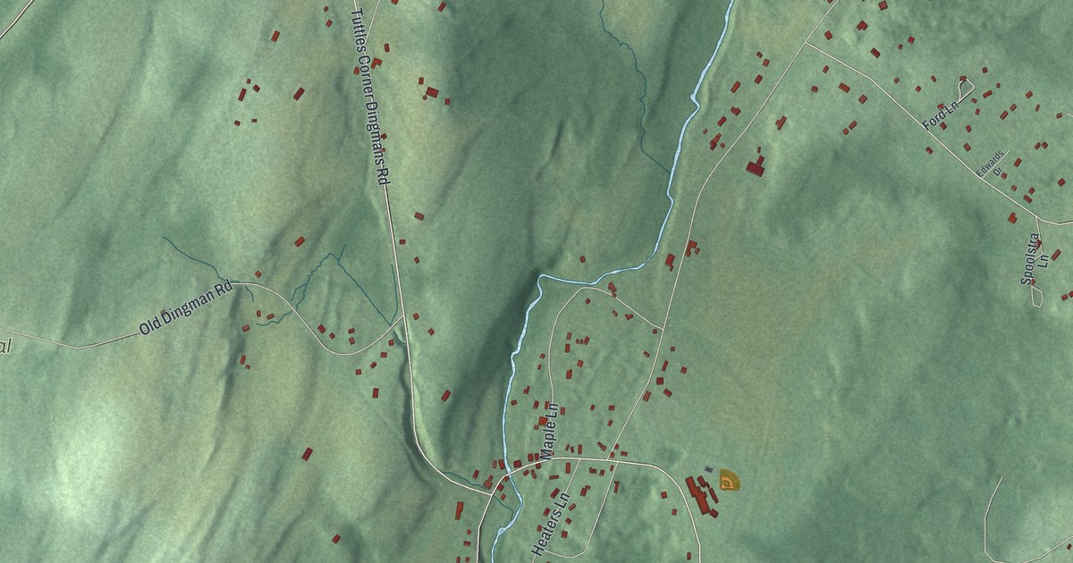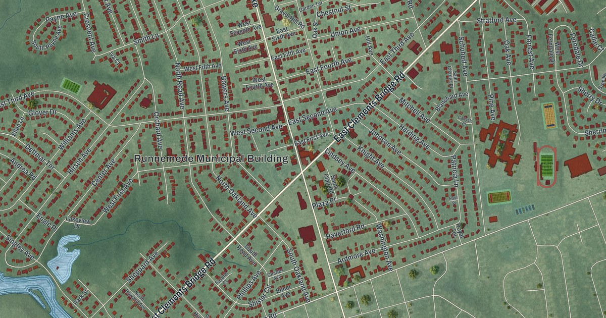
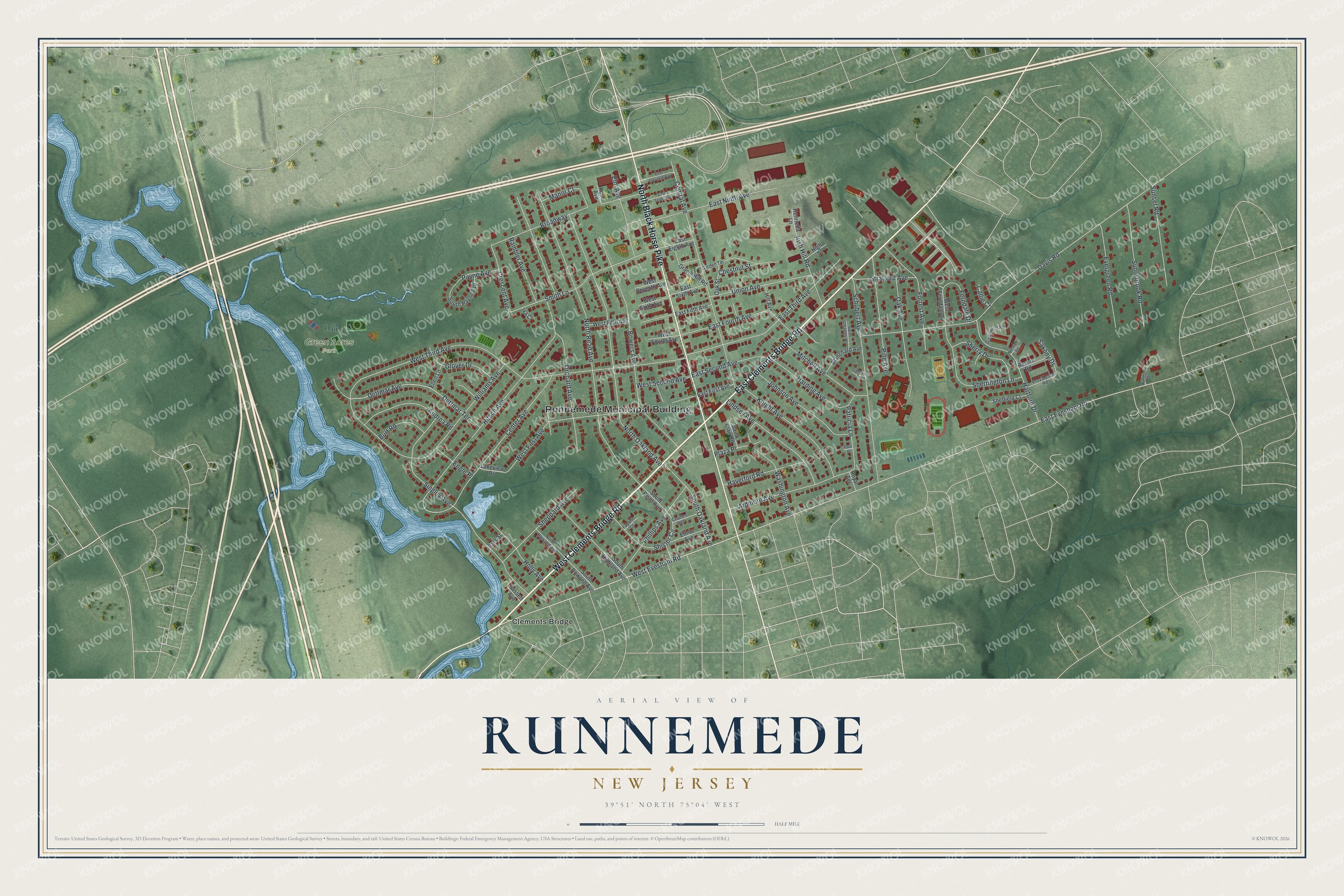
This beautifully detailed map of Runnemede, New Jersey was created in 2026 using aerial imagery combined with modern topographical, census, street and landmark data. It’s a one-of-a-kind view of Runnemede that combines accurate data with a vintage aesthetic. The map shows every building in its true location, many of the roads carry their names, and the shaded topographic relief shows the shape of the land.
Explore an aerial view of Runnemede, New Jersey
On the map you’ll find Runnemede Municipal Building, Clements Bridge, and Green Acres Park, along with Clements Bridge Road, Black Horse Pike, Evesham Road, Third Avenue, and more. If you look closely you can even find your house accurately drawn in its correct location. Zoom in on the preview to look for yours.
Did You Know?
Quaker settlers founded the community in 1683 and named it New Hope. They ran gristmills and other small mills. It was later renamed Marlboro for a British military leader, though some residents objected. In 1844 it became Runnemede, after the meadow near London where King John signed the Magna Carta. That’s from the 1939 WPA guide to New Jersey.
Take a closer look at the Runnemede map
Names on this map
These names are printed on this map.
Places: Runnemede Municipal Building, Green Acres Park and Clements Bridge.
Streets and roads: West Clements Bridge Road, East Clements Bridge Road, North Black Horse Pike, West Evesham Road, East Evesham Road, West Third Avenue, Davis Road, North Read Avenue, North Oakland Avenue, Hirsch Avenue, Bowers Avenue, Central Avenue.
More street names, A to Z
Andrea Road, Ardmore Avenue, Bassett Avenue, Blanchard Avenue, Broadway, Burt Road, Callie Court, Carlysle Court, Center Avenue, Charles Avenue, Chestnut Street, Crescent Avenue, Dettmar Avenue, Dettmar Terrace, East Eighth Avenue, East Eleventh Avenue, East Fifth Avenue, East First Avenue, East Fourth Avenue, East Ninth Avenue, East Second Avenue, East Sixth Avenue, East Tenth Avenue, East Third Avenue, Ellen Lane, Elm Avenue, Elmer Avenue, Engle Place, Evergreen Road, Fayann Court, Ferndale Drive, Forrest Avenue, Garden Terrace, Glover Drive, Gravel Hill Road, Greenwich Road, Harding Avenue, Hartford Drive, Haverford Road, Henrietta Lane, High Street, Hill Avenue, Holly Avenue, Irish Hill Road, Iva Court, Johnson Avenue, Kimberly Drive, Knight Avenue, Lakeview Drive, Lindsey Avenue, Manor Court, Mitchell Avenue, North Rowand Avenue, Norwalk Road, Oak Avenue, Oak Street, Orchard Avenue, Park Street, Patricia Lane, Paul Place, Payne Avenue, Phillips Avenue, Pine Avenue, Plaza Place, Providence Road, Rambler Avenue, Revere Road, Rose Avenue, Royal Terrace, Saint Charles Place, Saint Clair Road, Saxony Drive, Schubert Avenue, Sheffield Court, Sheppard Avenue, Sherrington Lane, Sherry Drive, Shisler Circle, Singley Avenue, Smith Lane, South Highland Avenue, South Oakland Avenue, South Payne Avenue, South Read Avenue, South Rowand Avenue, Stratford Avenue, Sunnybrook Road, Sunset Road, Union Avenue, Washington Avenue, West Ferndale Drive, West Fifth Avenue, West First Avenue, West Fourth Avenue, West Second Avenue, West Seventh Avenue, West Sixth Avenue, Williams Avenue.
See it on a wall
The Runnemede map as an 18 x 24 inch print in a black frame.

This beautifully detailed map of Runnemede makes an attractive addition to your office, library, or den, and it can even be used to teach children the geography and history of the area. It also makes a great gift for someone who left Runnemede and still calls it home. When you’re done exploring, click here to get your copy of the Runnemede map.