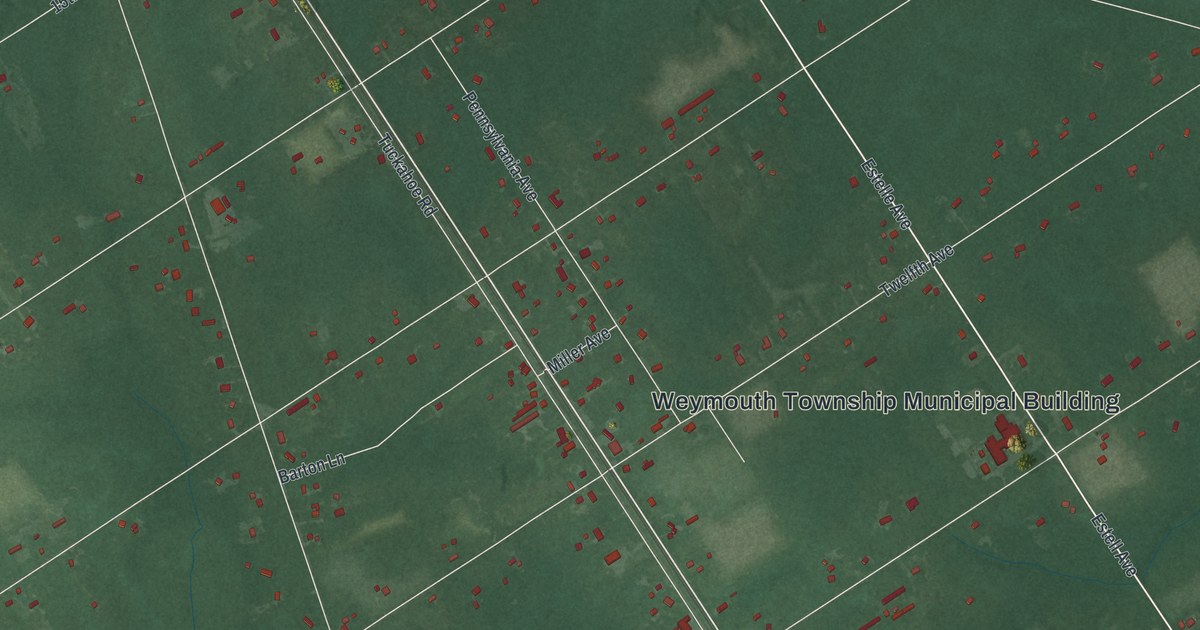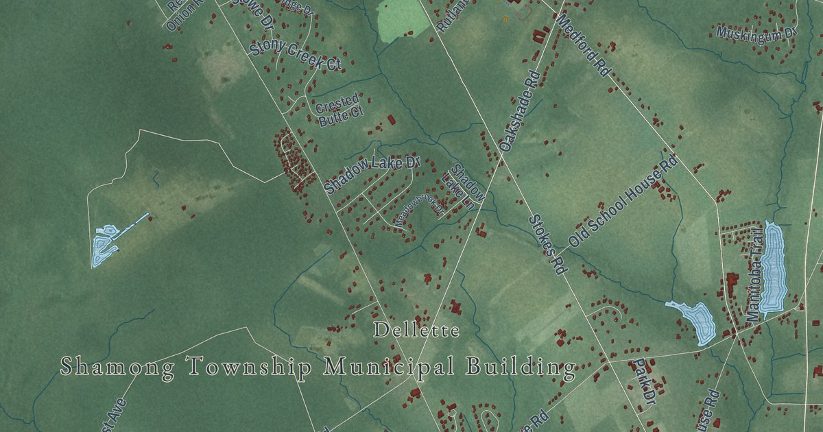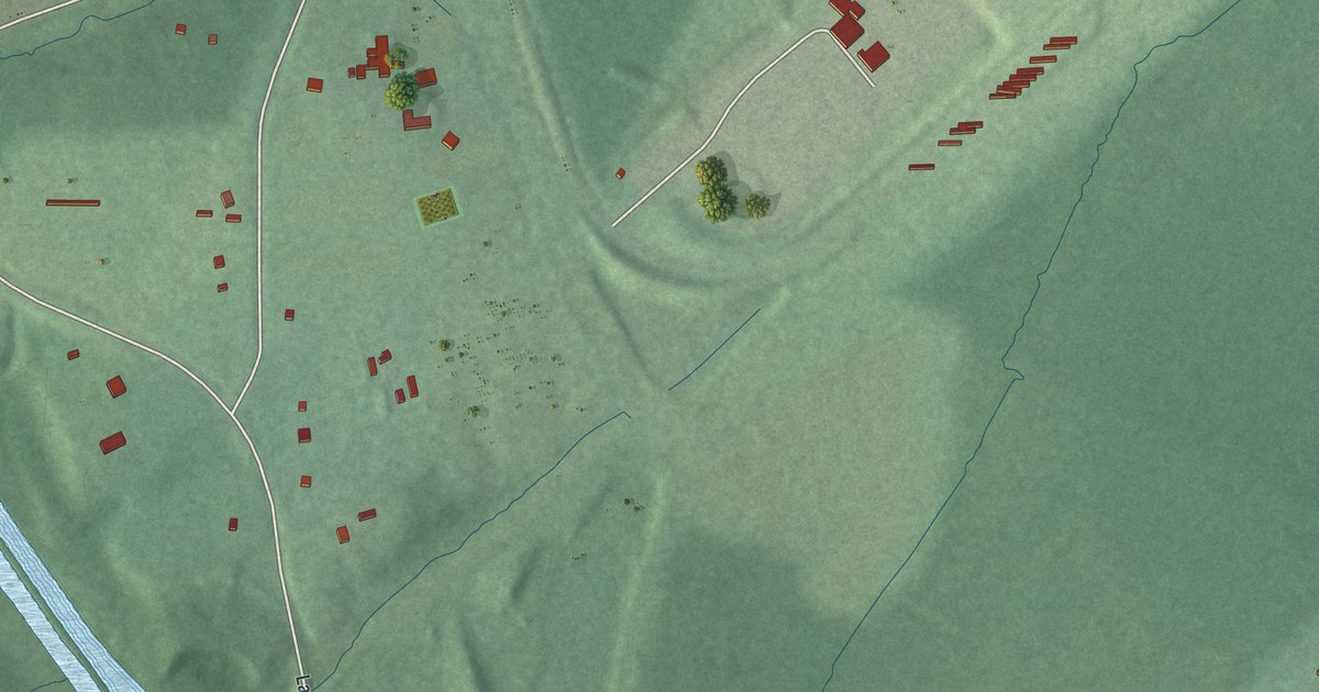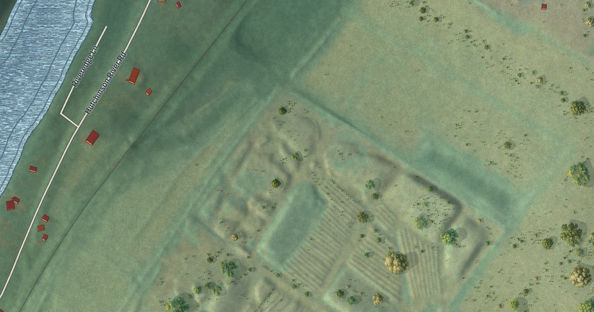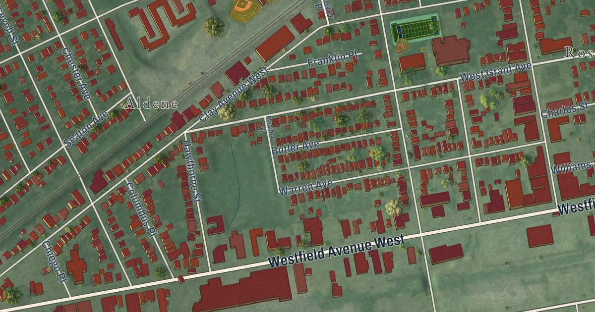
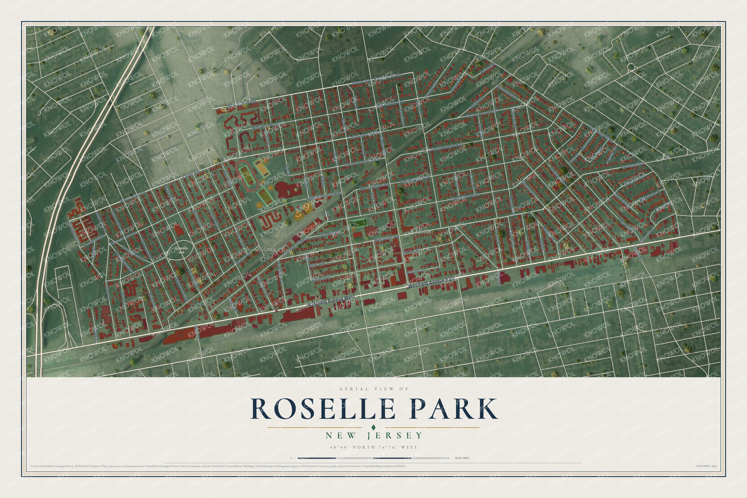
This beautifully detailed map of Roselle Park, New Jersey was created in 2026 using aerial imagery combined with modern topographical, census, street and landmark data. It’s a one-of-a-kind view of Roselle Park that combines accurate data with a vintage aesthetic. The map shows every building in its true location, many of the roads carry their names, and the shaded topographic relief shows the shape of the land.
Explore an aerial view of Roselle Park, New Jersey
On the map you’ll find Aldene, Roselle, and Lincoln Park, along with Westfield Avenue, Colfax Avenue, Sumner Avenue, Grant Avenue, Roselle Avenue, and more. If you look closely you can even find your house accurately drawn in its correct location. Zoom in on the preview to look for yours.
Did You Know?
The borough takes its name from the Roselle Land Improvement Company. The company formed in 1866 to plan a town beside Mulford Station, a stop on the Central Railroad of New Jersey. Rails first crossed the area in 1839, and a steam locomotive still decorates the borough seal.
Take a closer look at the Roselle Park map
Names on this map
These names are printed on this map.
Places: Lincoln Park, Roselle and Aldene.
Streets and roads: Westfield Avenue East, Westfield Avenue West, Colfax Avenue West, West Colfax Avenue, Sumner Avenue, West Sumner Avenue, East Sumner Avenue, East Grant Avenue, West Grant Avenue, East Roselle Avenue, Webster Avenue West, Galloping Hill Road.
More street names, A to Z
Amsterdam Avenue, Ashwood Avenue, Avon Street, Beachwood Avenue, Beechwood Avenue, Bender Avenue, Berwyn Street, Birch Street, Bridge Street, Butler Avenue, Camden Street, Charles Street, Charlotte Terrace, Cherry Street, Chester Avenue, Chestnut Street, Chiego Place, Clay Avenue East, Clay Avenue West, Clover Place, Colfax Avenue, Colfax Avenue East, Colonial Road, Columbus Place, Dalton Street, Donald Place, East Webster Avenue, Elinor Avenue, Elm Street, Faitoute Avenue, Filbert Street, Franklin Place, Gordon Street, Grove Street, Hamilton Place, Hawthorne Street, Hazel Street, Hemlock Street, Henry Avenue, Henry Street, Jerome Street, Larch Street, Laurel Avenue, Lehigh Avenue, Lincoln Avenue East, Lincoln Avenue West, Linden Road, Locust Street, Madison Avenue, Magie Avenue, Maple Street, Maplewood Avenue, Markthaler Place, Meadow Street, Myrtle Avenue, Oak Street, Oakwood Avenue, Park Place, Pershing Avenue, Pine Street, Pinewood Avenue, Prospect Street, Ragland Drive, Reindel Place, Rhoda Terrace, Roosevelt Street, Seaton Avenue, Sheridan Avenue, Sherman Avenue, Spruce Street, Union Road, Valley Road, Walnut Street, Warren Avenue, West Lincoln Avenue, West Roselle Avenue, West Webster Avenue, Williams Street, Willis Place, Willow Avenue, Woodland Avenue, Woodside Avenue.
See it on a wall
The Roselle Park map as an 18 x 24 inch print in a black frame.

This beautifully detailed map of Roselle Park makes an attractive addition to your office, library, or den, and it can even be used to teach children the geography and history of the area. It also makes a great gift for someone who left Roselle Park and still calls it home. When you’re done exploring, click here to get your copy of the Roselle Park map.