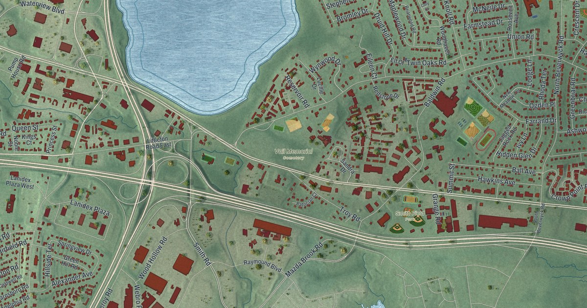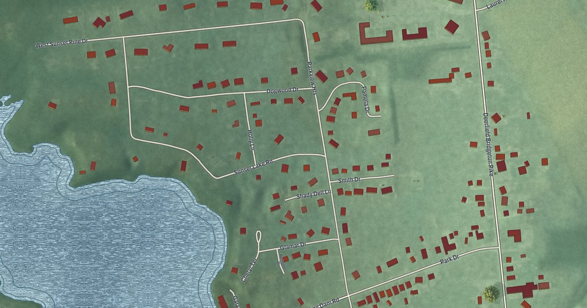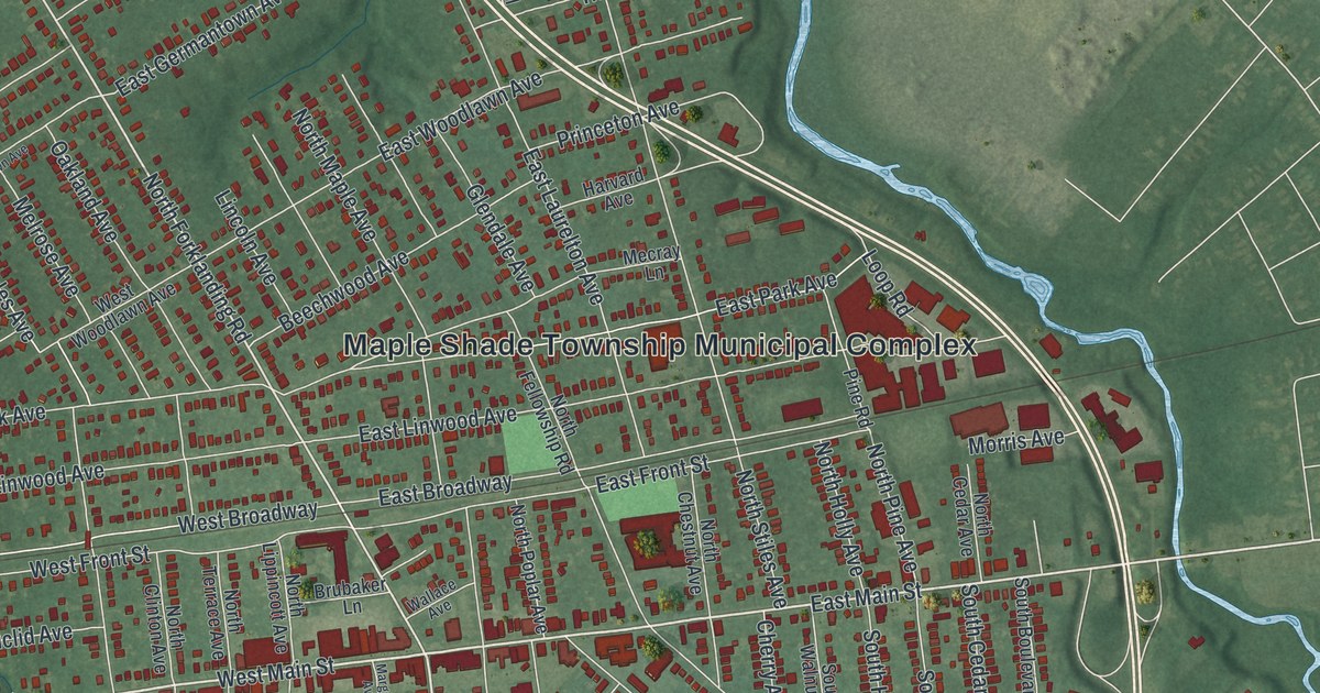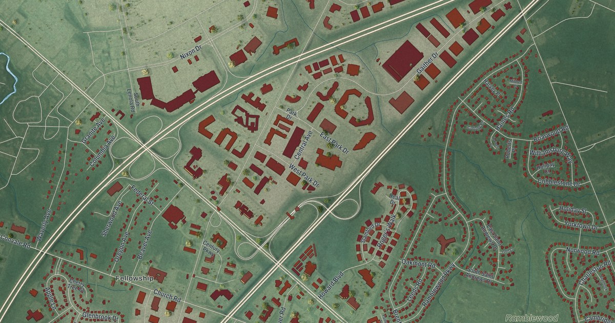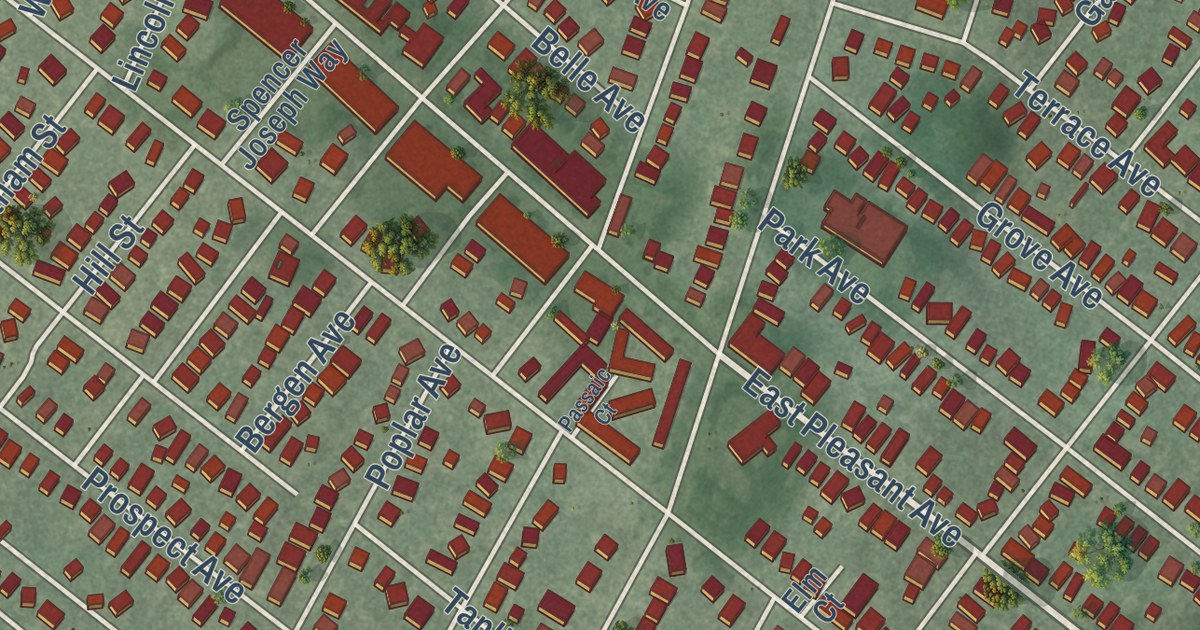
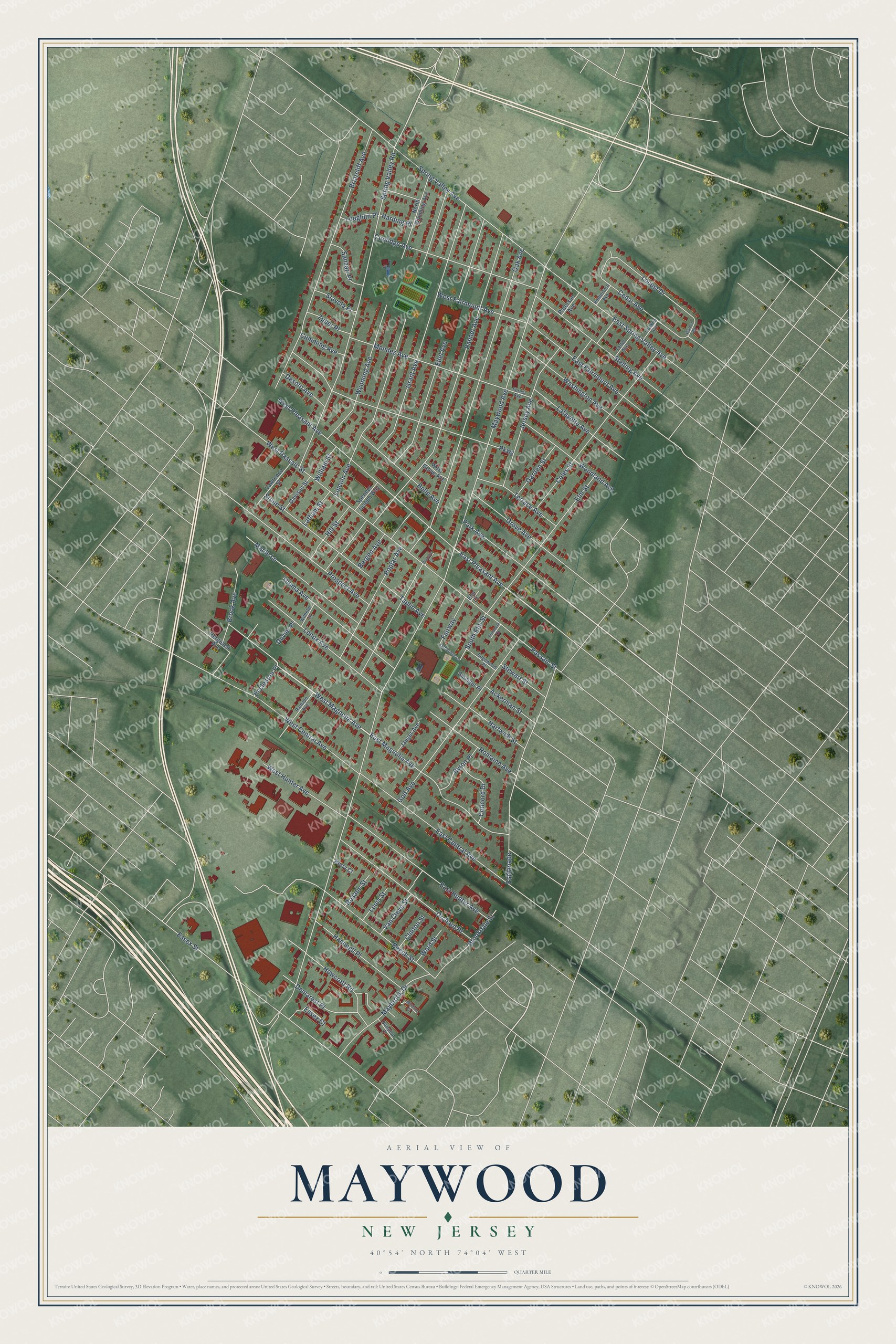
This beautifully detailed map of Maywood, New Jersey was created in 2026 using aerial imagery combined with modern topographical, census, street and landmark data. It’s a one-of-a-kind view of Maywood that combines accurate data with a vintage aesthetic. The map shows every building in its true location, many of the roads carry their names, and the shaded topographic relief shows the shape of the land.
Explore an aerial view of Maywood, New Jersey
On the map you’ll find Memorial Park, along with Magnolia Avenue, Pleasant Avenue, Maywood Avenue, Oak Avenue, Palmer Avenue, and more. If you look closely you can even find your house accurately drawn in its correct location. Zoom in on the preview to look for yours.
Did You Know?
Maywood took its name from a station the New Jersey Midland Railroad set up in the area. Voters chose to break away from Midland Township in a referendum on June 29, 1894. That year, a wave of new boroughs swept the county, and 26 formed in 1894 alone.
Take a closer look at the Maywood map
Names on this map
These names are printed on this map.
Streets and roads: West Magnolia Avenue, East Pleasant Avenue, Maywood Avenue, Oak Avenue, Palmer Avenue, Spring Valley Road, Briarcliff Avenue, Lincoln Avenue, Grant Avenue, Essex Street, Parkway, West Passaic Street.
More street names, A to Z
Ackerman Street, Beech Street, Belle Avenue, Bergen Avenue, Berry Court, Brook Avenue, Brookdale Street, Byron Place, Cedar Avenue, Clinton Street, Coles Street, Concord Drive, Conklin Avenue, Coolidge Avenue, Cumming Avenue, Davison Street, Demarest Place, Desoto Avenue, Duvier Place, East Central Avenue, East Fairmount Avenue, East Hunter Avenue, East Magnolia Avenue, East Spring Valley Avenue, Eccleston Place, Edel Avenue, Edgewood Place, Elizabeth Court, Elm Court, Elm Street, Esplanade, Essex Court, Fairway, Felter Avenue, Forest Avenue, Garden Street, Golf Avenue, Grove Avenue, Hammell Place, Hampton Court, Harding Place, Hartwich Street, Hergesell Avenue, Hill Street, Howcroft Road, Jaeger Avenue, Jersey Avenue, Lafayette Avenue, Latham Street, Lawrence Street, Lenox Avenue, Lethbridge Lane, Locust Drive, Loughlin Place, Louis Street, Maple Lane, Maybrook Drive, Mendez Avenue, North Wyoming Avenue, Orchard Place, Park Avenue, Passaic Court, Passaic Street, Paterson Avenue, Poplar Avenue, Prospect Avenue, Ramapo Avenue, Romaine Avenue, Rosalie Street, Rutherford Avenue, Sanzari Place, Sinniger Place, South Elm Street, Spencer Joseph Way, Spring Valley Avenue, Stavola Place, Stelling Avenue, Stewart Street, Stone Street, Taplin Avenue, Terrace Avenue, Thoma Avenue, Van Cleve Street, Walnut Road, Ward Street, Washington Avenue, West Central Avenue, West Fairmount Avenue, West Grove Avenue, West Hunter Avenue, West Pleasant Avenue, Wilhelm Street, William Street, Windsor Court, Woodland Avenue, Wyoming Avenue, Zuber Place.
See it on a wall
The Maywood map as an 18 x 24 inch print in a black frame.

This beautifully detailed map of Maywood makes an attractive addition to your office, library, or den, and it can even be used to teach children the geography and history of the area. It also makes a great gift for someone who left Maywood and still calls it home. When you’re done exploring, click here to get your copy of the Maywood map.