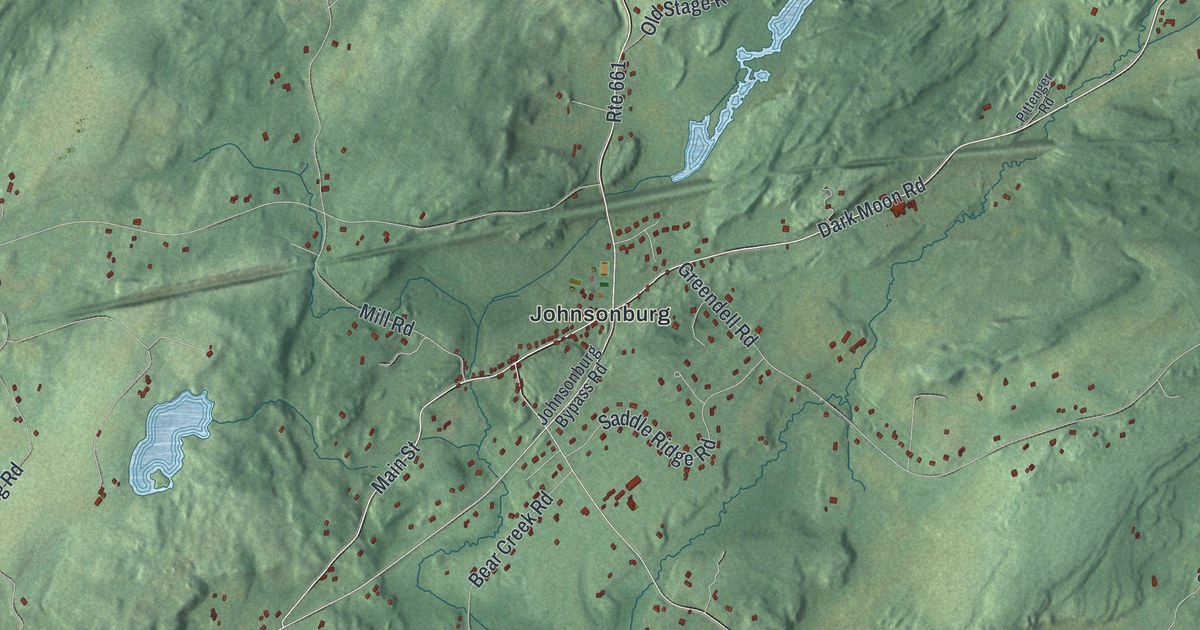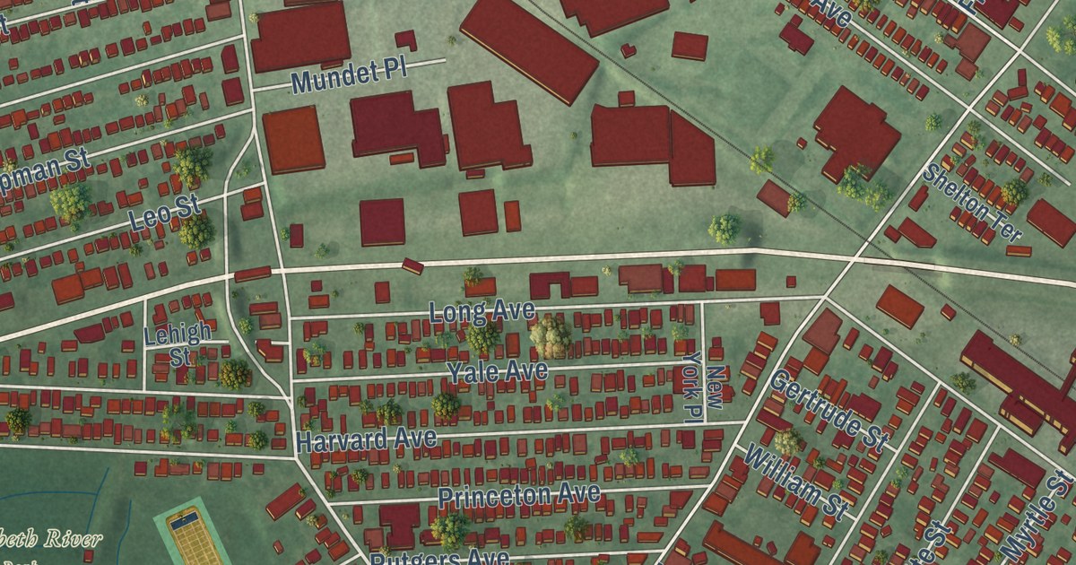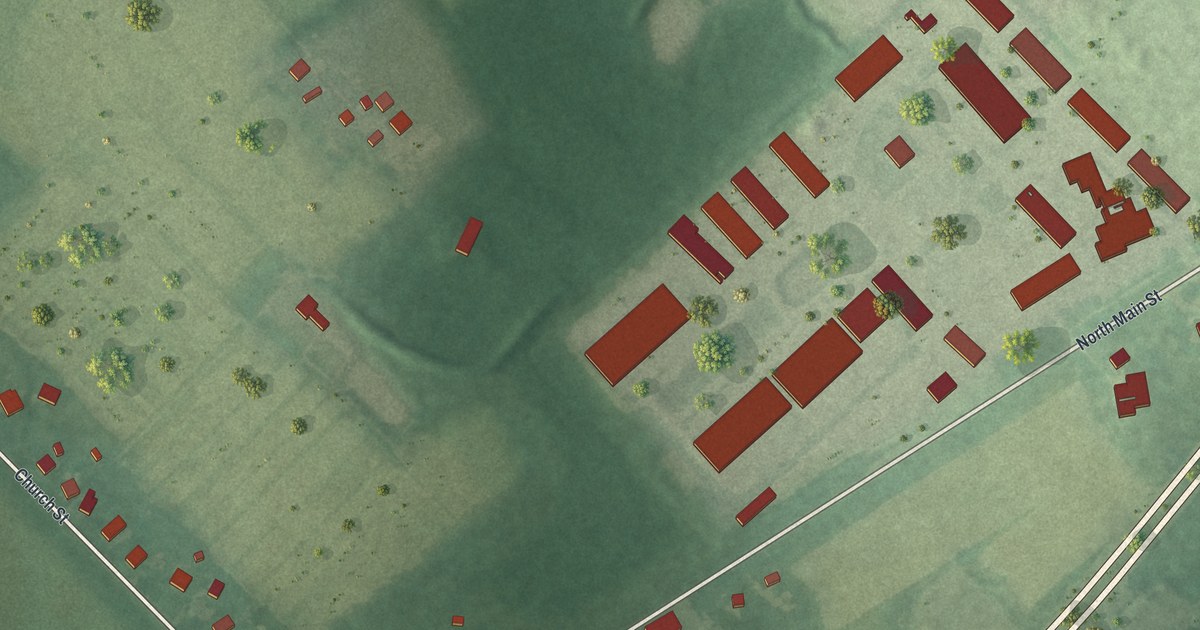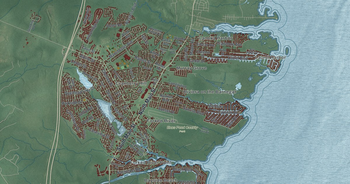
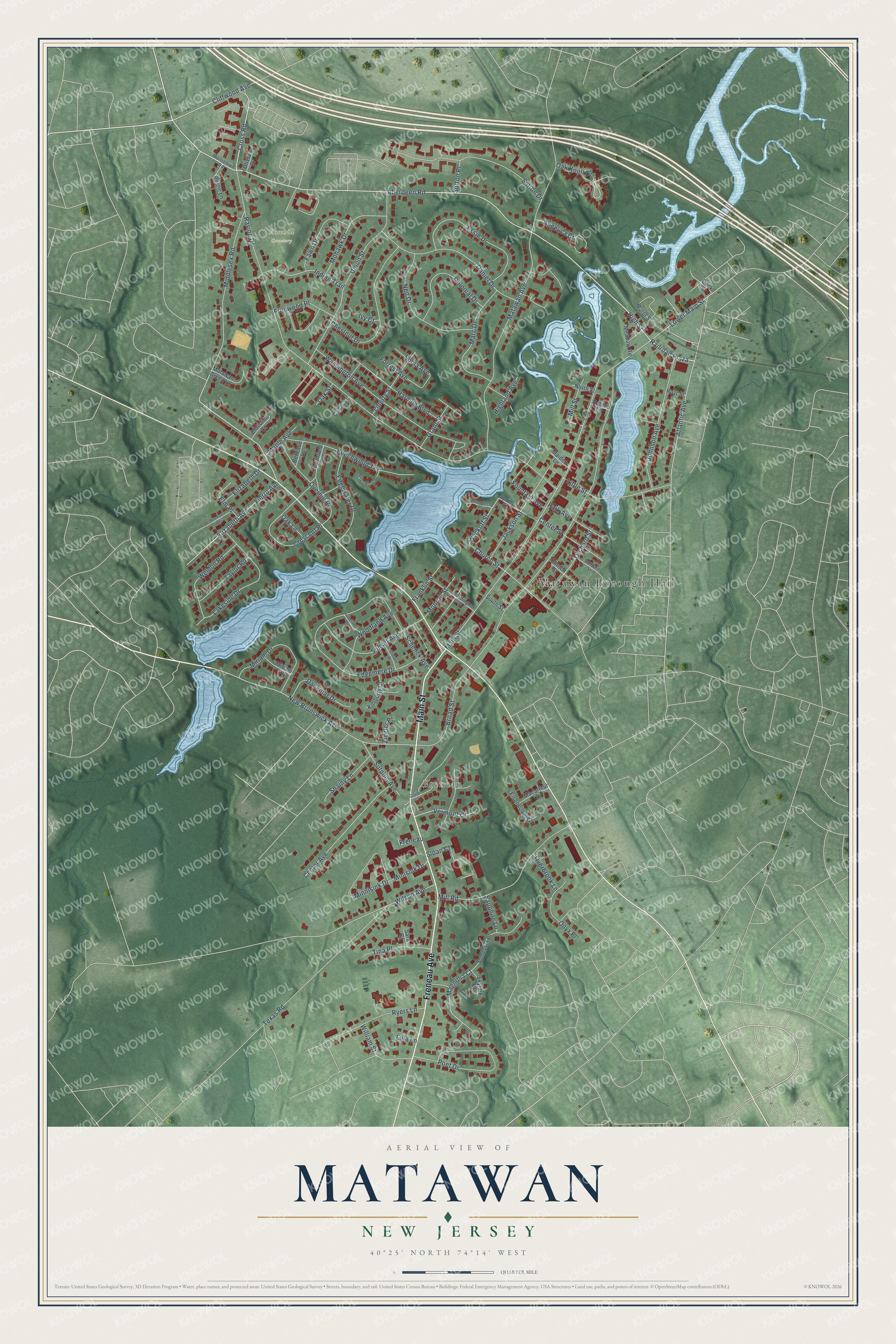
This beautifully detailed map of Matawan, New Jersey was created in 2026 using aerial imagery combined with modern topographical, census, street and landmark data. It’s a one-of-a-kind view of Matawan that combines accurate data with a vintage aesthetic. The map shows every building in its true location, many of the roads carry their names, and the shaded topographic relief shows the shape of the land.
Explore an aerial view of Matawan, New Jersey
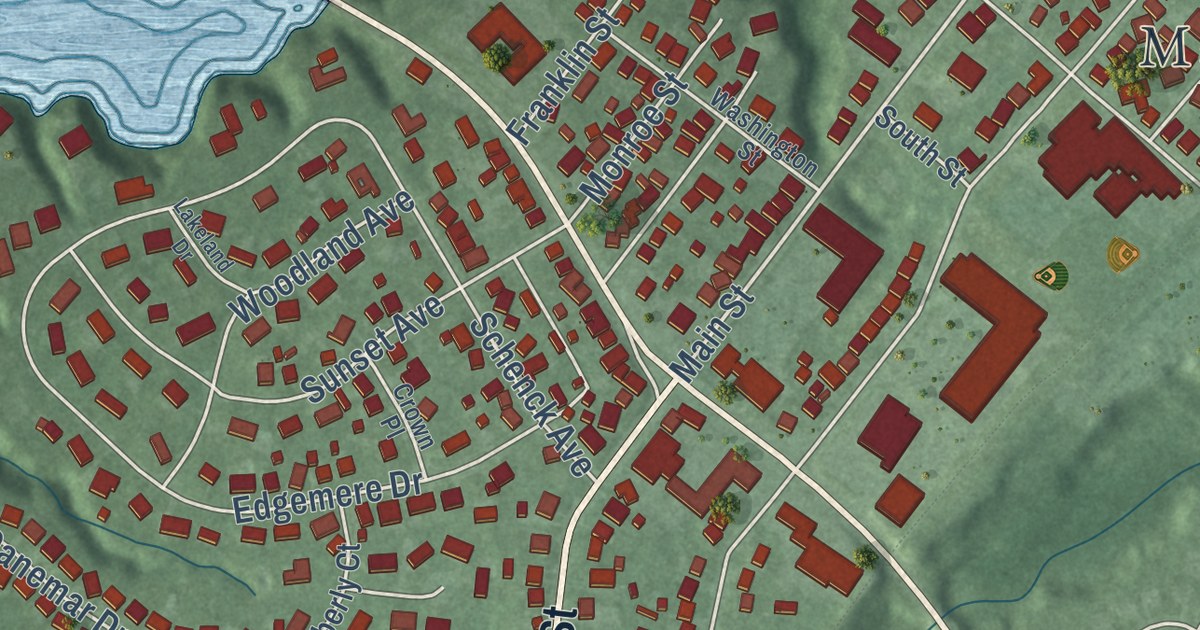
On the map you’ll find Matawan Borough Hall, Freneau, and Rosehill Cemetery, along with Freneau Avenue, Main Street, Aberdeen Road, Cross Road, and more. If you look closely you can even find your house accurately drawn in its correct location. Zoom in on the preview to look for yours.
Did You Know?
Matawan sits 11 miles from the Atlantic Ocean. Yet on July 12, 1916, three shark attacks struck in Matawan Creek, and two people died. They came days after earlier attacks at Beach Haven and Spring Lake. All were part of the Jersey Shore shark attacks that summer.
Take a closer look at the Matawan map
Names on this map
These names are printed on this map.
Places: Matawan Borough Hall, Freneau and Rosehill Cemetery.
Streets and roads: Freneau Avenue, Main Street, Aberdeen Road, Cross Road, Railroad Plaza, High Street, Fierro Avenue, Elizabeth Avenue, Middlesex Road, Wyckoff Street, Atlantic Avenue, Oak Knoll Drive.
More street names, A to Z
Angelica Court, Annmar Drive, Beechwood Terrace, Bellevue Lane, Broad Street, Cedar Street, Center Avenue, Center Street, Chestnut Drive, Christine Court, Church Street, Claire Court, Cliffwood Avenue, Clinton Street, Colonial Drive, Crescent Place, Crestwood Road, Crown Place, Danemar Drive, Daniel Drive, Dock Street, Edgemere Drive, Edgewater Drive, Eisenhower Court, Elizabeth Drive, Elm Place, Essie Drive, Fawn Drive, Forrest Avenue, Fountain Avenue, Franklin Street, Fredwood Place, Grant Street, Harding Boulevard, Highland Avenue, Hoyt Street, Indian Trail, Ivy Court, Jackson Street, Johnson Avenue, Kimberly Court, Lakeland Drive, Lakeside Drive, Liberty Street, Little Street, Lola Lane, Lower Main Street, Macarthur Drive, Magnolia Court, Maiden Lane, Maple Avenue, Marc Drive, Matawan Avenue, Matawan Green Lane, Meadow Road, Mill Road, Mill Street, Minisink Drive, Minnisink Drive, Miriam Drive, Miriam Place, Mohawk Drive, Monroe Street, Morristown Road, Ned Drive, New Brunswick Avenue, Northfield Road, North Street, Oak Lane, Oak Street, Olivia Place, Onyx Place, Orchard Street, Overbrook Lane, Overhill Road, Park Avenue, Poet Drive, Prospect Place, Rabbit Lane, Ravine Drive, Rustic Lane, Ryers Lane, Sapphire Lane, Sara Court, Schenck Avenue, Shainy Lane, Skylark Court, Sloan Court, Somerset Place, Sonia Avenue, South Street, Spring Street, Stillwell Street, Sunset Avenue, Sutphin Avenue, Sutton Drive, Sutton Place, Taylor Road, Texas Road, Tina Place, Union Street, Vermont Court, Washington Avenue, Washington Street, Water Street, Weldon Road, William Street, Wilson Avenue, Woodland Avenue, Ziegler Place.
See it on a wall
The Matawan map as an 18 x 24 inch print in a black frame.

This beautifully detailed map of Matawan makes an attractive addition to your office, library, or den, and it can even be used to teach children the geography and history of the area. It also makes a great gift for anyone with Matawan roots. When you’re done exploring, click here to get your copy of the Matawan map.