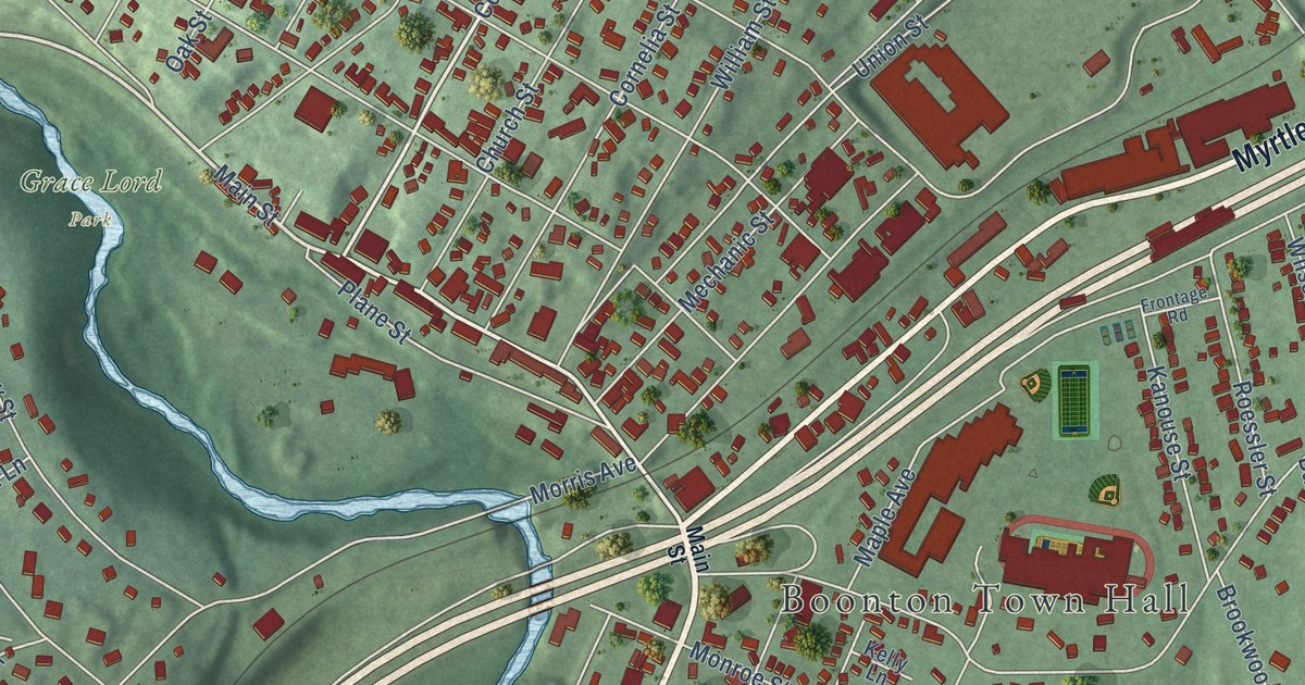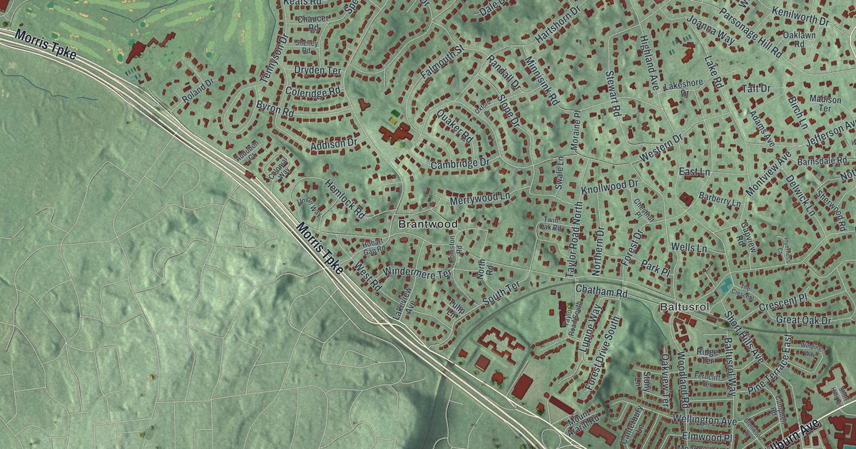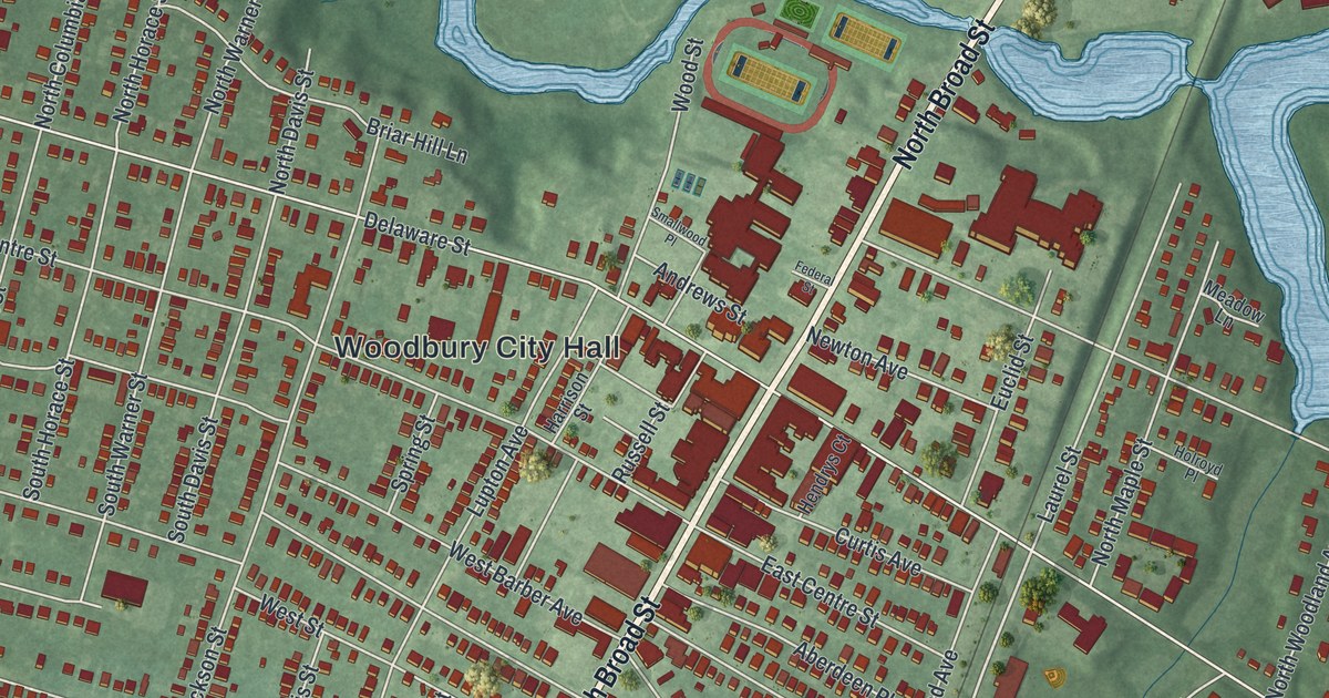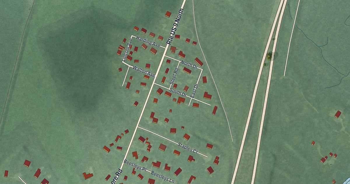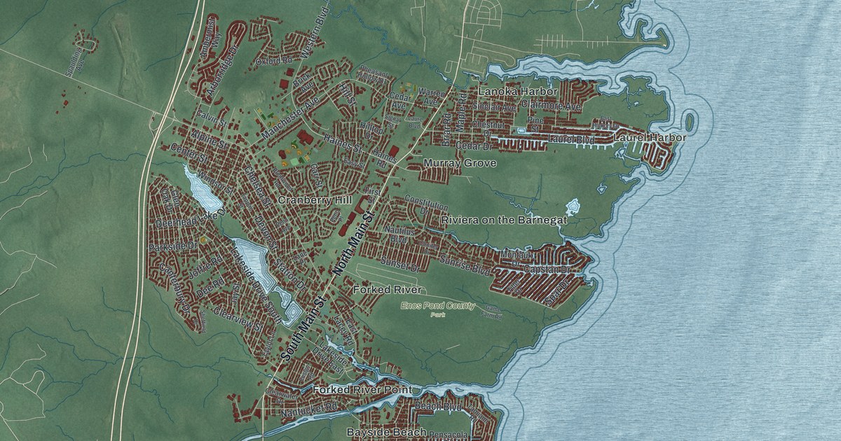
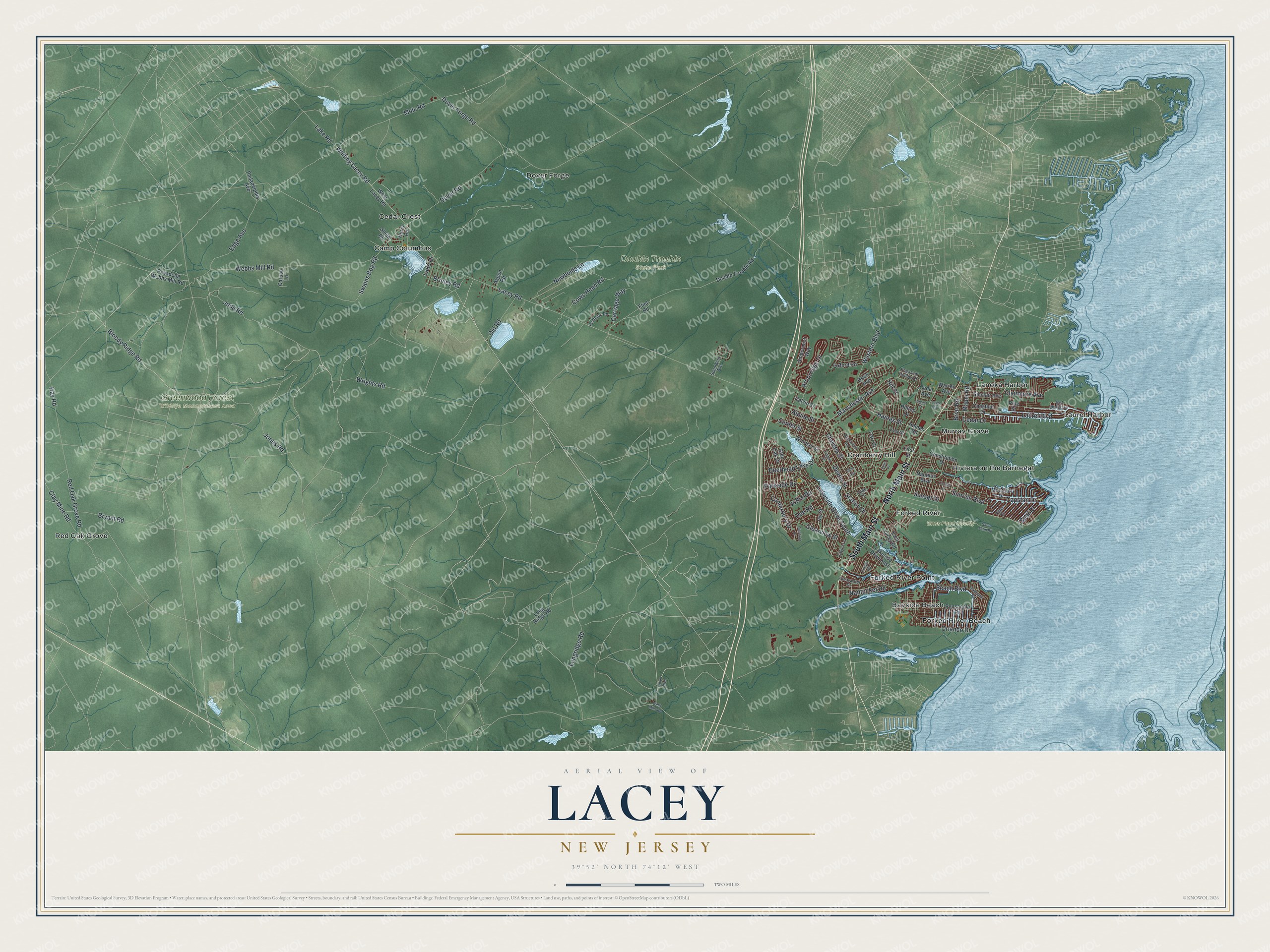
This beautifully detailed map of Lacey, New Jersey was created in 2026 using aerial imagery combined with modern topographical, census, street and landmark data. It’s a one-of-a-kind view of Lacey that combines accurate data with a vintage aesthetic. The map shows every building in its true location, many of the roads carry their names, and the shaded topographic relief shows the shape of the land.
Explore an aerial view of Lacey, New Jersey
On the map you’ll find Laurel Harbor, Double Trouble State Park, Enos Pond County Park, Greenwood Forest Wildlife Management Area, Bayside Beach, Camp Columbus, Cedar Crest, Cranberry Hill, Dover Forge, Forked River, Forked River Beach, Forked River Point, and more. If you look closely you can even find your house accurately drawn in its correct location. Zoom in on the preview to look for yours.
Take a closer look at the Lacey map
Names on this map
These names are printed on this map.
Places: Laurel Harbor, Double Trouble State Park, Enos Pond County Park, Greenwood Forest Wildlife Management Area, Bayside Beach, Camp Columbus, Cedar Crest, Cranberry Hill, Dover Forge, Forked River, Forked River Beach, Forked River Point, Lanoka Harbor, Murray Grove, Red Oak Grove and Riviera on the Barnegat.
Streets and roads: North Main Street, South Main Street, Bloody Ridge Road, Laurel Boulevard, Jones Road, Lakeside Drive South, Beach Boulevard, Mule Road, Cedar Drive, Lake Drive, Arborridge Drive, Lacey Road.
More street names, A to Z
Alpine Street, Ambermist Way, Aspen Road, Brentwood Road, Briar Road, Brick Avenue, Brinley Road, Bryant Road, Calvin Street, Canterbury Drive, Capstan Drive, Carriage Way, Carr Street, Caruso Lane, Cedar Avenue, Center Street, Chelsea Street, Chestnut Drive, Clairmore Avenue, Clay Mine Road, Clearview Street, Clearwater Drive, Cluen Boulevard, Conifer Drive, Constitution Drive, Cows Head Road, Deerhead Lake Drive, Dee Road, Devon Street, Double Trouble Road, Dover Forge Road, Dover Road, East Hickory Drive, East Lacey Road, Easy Street, Edge Avenue, Ensign Road, First Street, Flint Road, Game Farm Road, Glen Oak Drive, Haines Road, Haines Street, Hay Road, Hill Street, Hilltop Drive, Hurry Road, Jay Street, Joffre Road, Jone Road, Lake Road, Lakeside Drive East, Lane Place, Laure Boulevard, Longridge Road, Long Ridge Road, Manchester Avenue, Maple Road, Montauk Drive, Nantucket Road, Nautilus Boulevard, Newbolds Lane, Old Road, Orlando Drive, Oxford Road, Parkside Drive, Pasadena Webbs Mill Road, Penhook Road, Penn Avenue, Penn Place, Pensacola Road, Pheasant Hollow Drive, Philadelphia Avenue, Pine Street, Red Oak Grove Road, Sheffield Drive, Signal Street, Sinclair Avenue, Smith Road, Spar Drive, Spaulding Avenue, Station Drive, Sunrise Boulevard, Sunset Drive, Swains Bog Road, Tamiami Road, Tappan Street, Taylor Lane, Tiller Drive, Warren Avenue, Webbs Mill Road, Wells Mills Road, Western Boulevard, West Lacey Road, Whiting Lacey Road, Windsor Street, Wrights Road.
See it on a wall
The Lacey map as an 18 x 24 inch print in a black frame.

This beautifully detailed map of Lacey makes an attractive addition to your office, library, or den, and it can even be used to teach children the geography and history of the area. It also makes a great gift for anyone who grew up in Lacey or moved away. When you’re done exploring, click here to get your copy of the Lacey map.