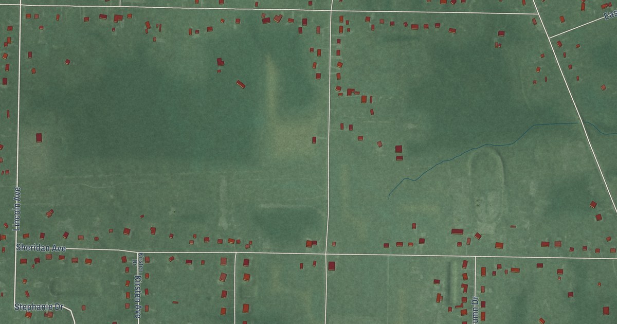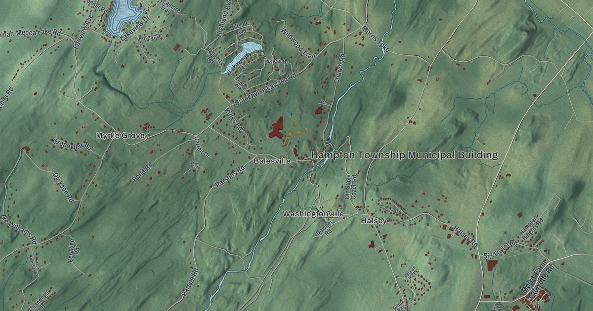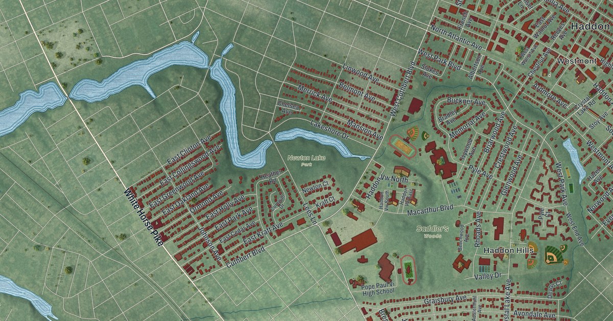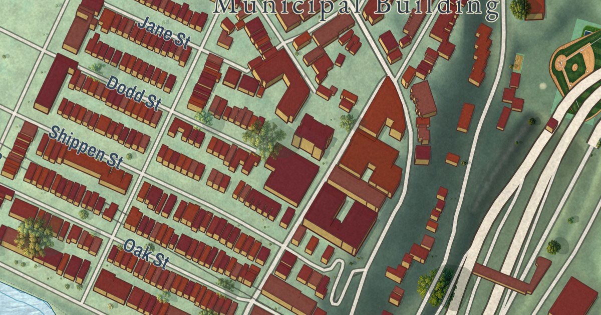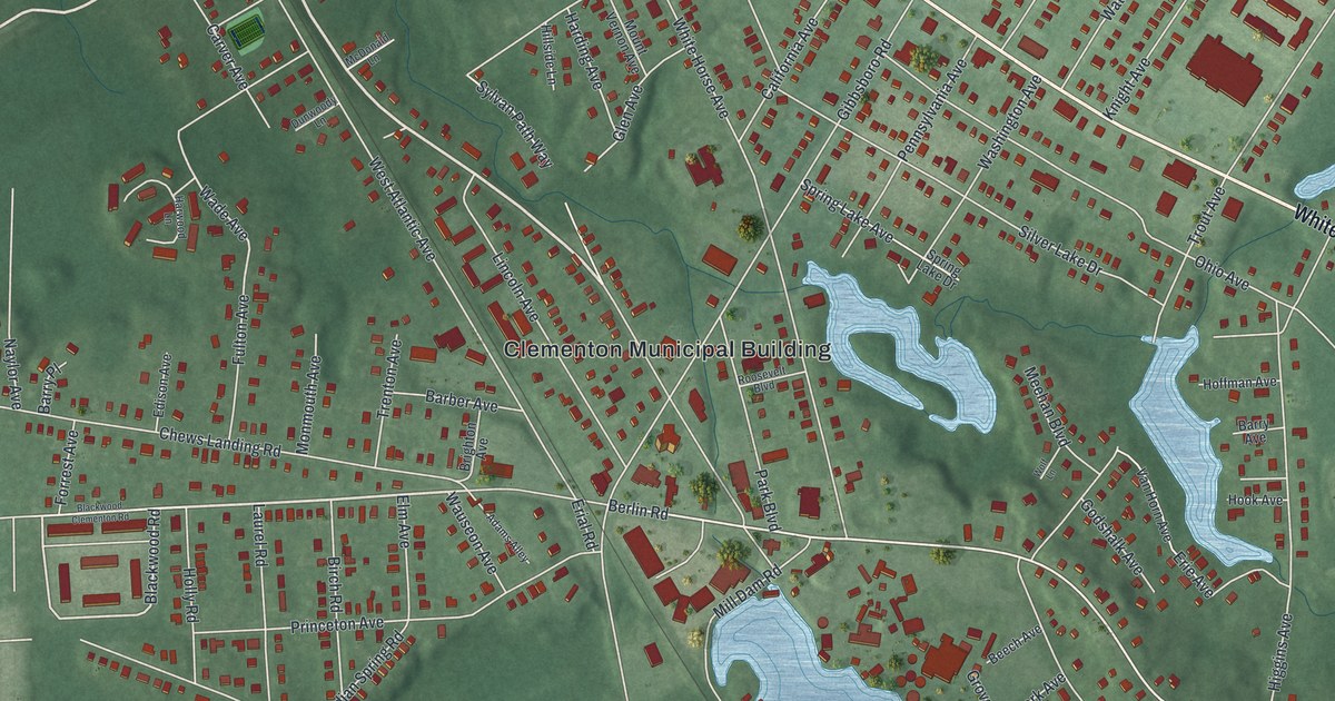
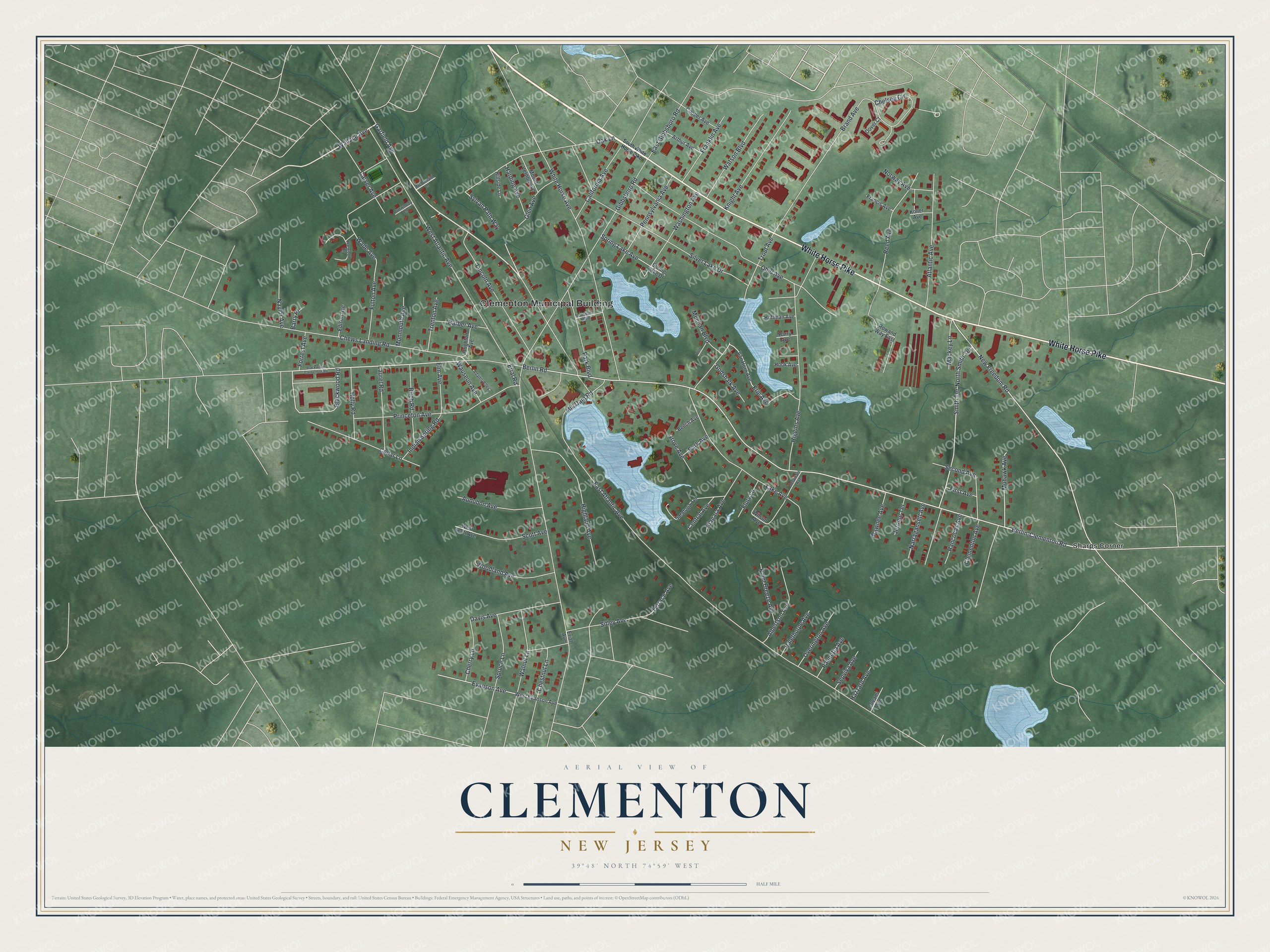
This beautifully detailed map of Clementon, New Jersey was created in 2026 using aerial imagery combined with modern topographical, census, street and landmark data. It’s a one-of-a-kind view of Clementon that combines accurate data with a vintage aesthetic. The map shows every building in its true location, many of the roads carry their names, and the shaded topographic relief shows the shape of the land.
Explore an aerial view of Clementon, New Jersey
On the map you’ll find Clementon Municipal Building and Sharps Corner, along with White Horse Pike, Garfield Avenue, Wallace Avenue, Berlin-Clementon Road, Blackwood Road, New Freedom Road, Berlin Road, Smith Terrace, Mohawk Avenue, Wade Avenue, and more. If you look closely you can even find your house accurately drawn in its correct location. Zoom in on the preview to look for yours.
Did You Know?
Jonathon Haines built a glass factory here around 1800. About 1811, Samuel Clement of Haddonfield bought the factory and called it the Gloucester Glass works. He gave the little village around the plant the name Clementon.
Take a closer look at the Clementon map
Names on this map
These names are printed on this map.
Places: Clementon Municipal Building and Sharps Corner.
Streets and roads: White Horse Pike, Garfield Avenue, Wallace Avenue, Berlin-Clementon Road, Blackwood Road, New Freedom Road, Berlin Road, Smith Terrace, Mohawk Avenue, Wade Avenue, East Atlantic Avenue, Erial Road.
More street names, A to Z
Adams Alley, Albertson Avenue, Arthur Avenue, Atlantic Avenue, Audubon Avenue, Barber Avenue, Barry Avenue, Barry Place, Beech Avenue, Birch Road, Blackwood Clementon Road, Brand Avenue, Brighton Avenue, California Avenue, Carver Avenue, Cedar Lane, Central Avenue, Chelsea Circle, Cherry Lane, Chestnut Lane, Chews Landing Road, Clementon Avenue, Cooper Avenue, Davis Avenue, Delaware Avenue, Dover Court, Dunwoody Lane, East Gibbsboro Road, Edison Avenue, Elm Avenue, Erial Avenue, Erie Avenue, Evanson Avenue, First Avenue, Flury Lane, Forrest Avenue, Francis Avenue, Franklin Avenue, Fulton Avenue, Gibbsboro Road, Glen Avenue, Godshalk Avenue, Grove Avenue, Harding Avenue, Harwood Lane, Hazzard Avenue, Higgins Avenue, Highland Avenue, Hillside Lane, Hoffman Avenue, Holly Road, Hook Avenue, Indian Spring Road, Jerome Terrace, Knight Avenue, Koller Avenue, Lake Avenue, Laurel Road, Lincoln Avenue, Mackey Lane, McDonald Lane, Meehan Boulevard, Mill Dam Road, Monmouth Avenue, Mount Vernon Avenue, Narragansett Avenue, Naylor Avenue, Niagara Avenue, North Smith Terrace, Norway Avenue, Oak Lane, Ohio Avenue, Orleans Avenue, Overington Avenue, Palethorpe Avenue, Palmetta Avenue, Park Avenue, Park Boulevard, Pawnee Avenue, Pennsylvania Avenue, Point Breeze Avenue, Princeton Avenue, Rancocas Avenue, Reed Avenue, Roosevelt Boulevard, Rowand Way East, Saratoga Terrace, Scott Avenue, Second Avenue, Sepviva Avenue, Silver Lake Drive, Sitley Avenue, South White Horse Pike, Spring Lake Avenue, Spring Lake Drive, Spruce Lane, Sylvan Path Way, Terrace Avenue, Trenton Avenue, Trout Avenue, Van Horn Avenue, Walnut Lane, Washington Avenue, Watson Boulevard, Wauseon Avenue, West Atlantic Avenue, West Evanson Avenue, West Scott Avenue, White Horse Avenue, Wilson Avenue, Wolf Lane, Woodland Avenue.
See it on a wall
The Clementon map as an 18 x 24 inch print in a black frame.

This beautifully detailed map of Clementon makes an attractive addition to your office, library, or den, and it can even be used to teach children the geography and history of the area. It also makes a great gift for anyone who grew up in Clementon or moved away. When you’re done exploring, click here to get your copy of the Clementon map.