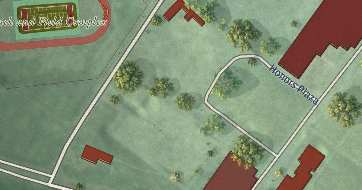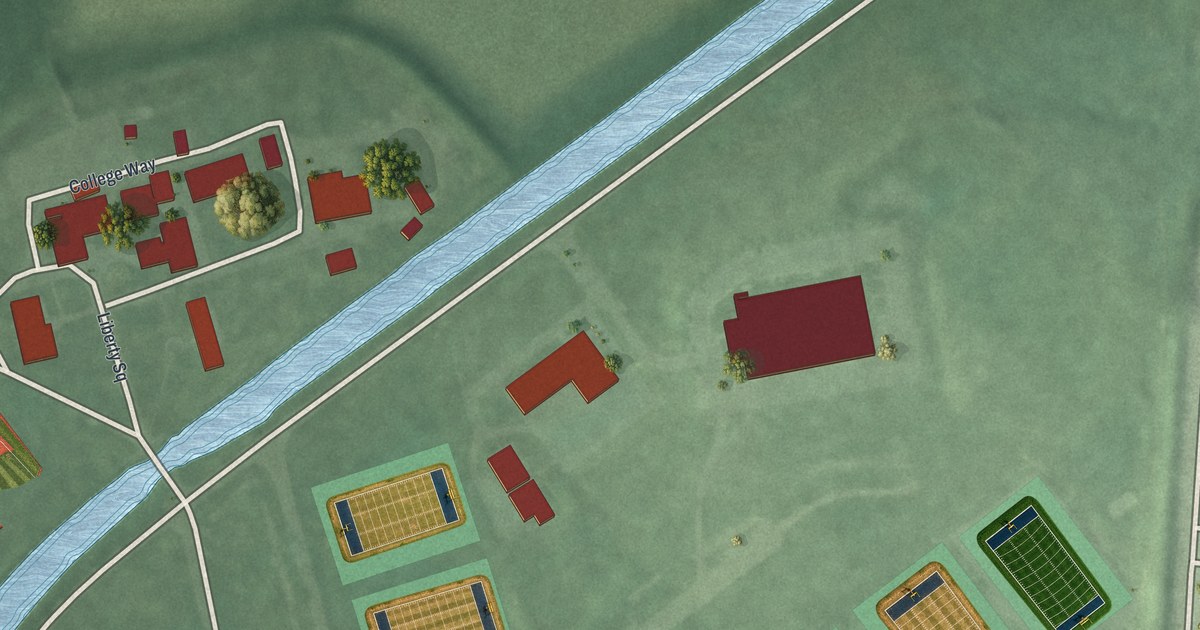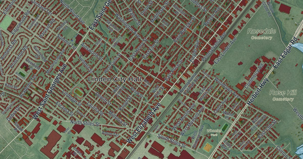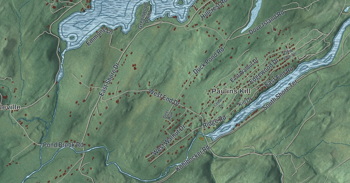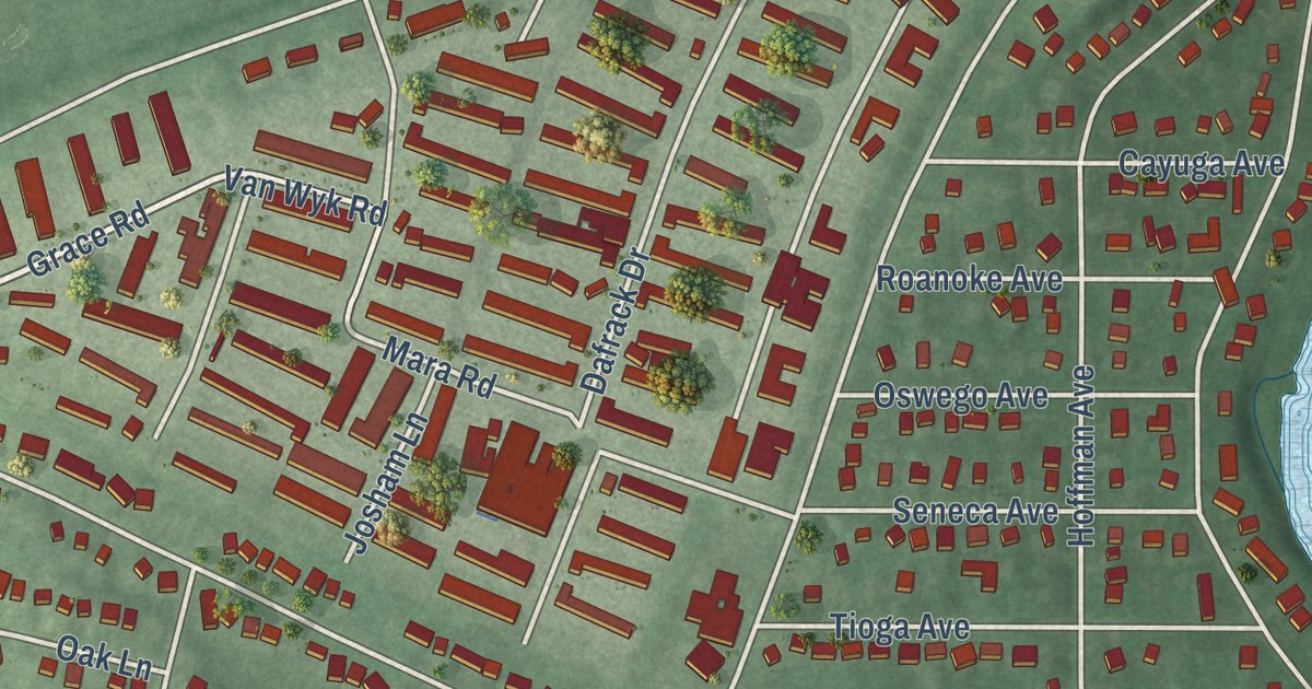
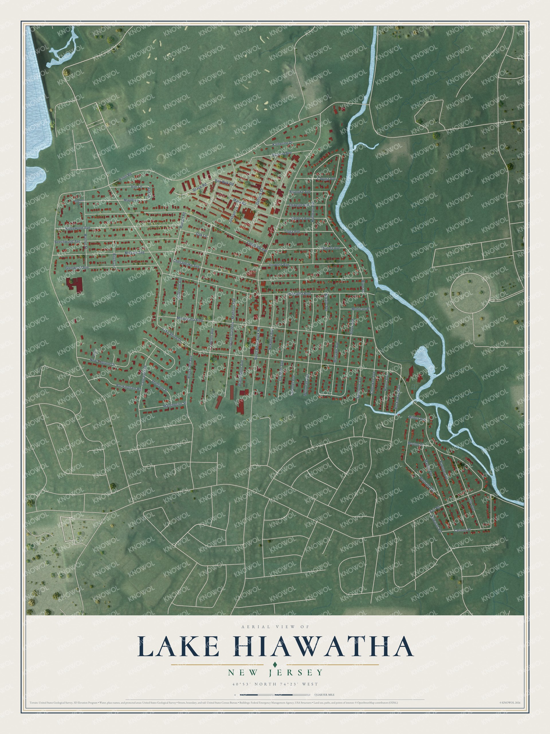
This beautifully detailed map of Lake Hiawatha, New Jersey was created in 2026 using aerial imagery combined with modern topographical, census, street and landmark data. It’s a one-of-a-kind view of Lake Hiawatha that combines accurate data with a vintage aesthetic. The map shows every building in its true location, many of the roads carry their names, and the shaded topographic relief shows the shape of the land.
Explore an aerial view of Lake Hiawatha, New Jersey
On the map you’ll find Grace Road, Ash Lane, Maple Lane, Lake Shore Drive, Knoll Road, North Beverwyck Road, River Drive, Minnehaha Boulevard, Hiawatha Boulevard, Chesapeake Avenue, Longview Avenue, Roosevelt Avenue, and more. If you look closely you can even find your house accurately drawn in its correct location. Zoom in on the preview to look for yours.
Did You Know?
Lake Hiawatha began in the 1920s as a summer colony. Developers redirected the Rockaway River to make the lake, finished in 1935. After a house burned that January, six men formed a volunteer fire company in a basement. The lake was dry by the 1960s, and owners rebuilt the summer cabins as year-round homes.
Take a closer look at the Lake Hiawatha map
Names on this map
These names are printed on this map.
Streets and roads: Grace Road, Ash Lane, Maple Lane, Lake Shore Drive, Knoll Road, North Beverwyck Road, River Drive, Minnehaha Boulevard, Hiawatha Boulevard, Chesapeake Avenue, Longview Avenue, Roosevelt Avenue.
More street names, A to Z
Beechwood Avenue, Birch Lane, Buckingham Road, Calumet Avenue, Carlson Place, Cayuga Avenue, Cherokee Avenue, Dacotah Avenue, Dafrack Drive, Edwards Road, Elm Lane, Glenwood Avenue, Hoffman Avenue, Huron Avenue, Iroquois Avenue, Jefferson Avenue, Josham Lane, Katherine Drive, Lancaster Drive, Lincoln Avenue, Lincoln Gardens, Madison Avenue, Manchester Street, Manito Avenue, Mara Road, Maureen Court, Midvale Avenue, Mohawk Avenue, Mohican Place, Morton Place, Navajo Avenue, New England Drive, Nokomis Avenue, Norman Avenue, Oak Lane, Oneida Avenue, Oswego Avenue, Pawnee Avenue, Ridgewood Avenue, Roanoke Avenue, Rockaway Boulevard, Ronald Road, Seminole Avenue, Seneca Avenue, Sheffield Street, Sioux Avenue, Tioga Avenue, Ute Avenue, Vail Road, Van Wyk Road, Vermont Court, Victoria Avenue, Walnut Street, Washington Avenue, Wenonah Avenue, Wilber Avenue.
See it on a wall
The Lake Hiawatha map as an 18 x 24 inch print in a black frame.

This beautifully detailed map of Lake Hiawatha makes an attractive addition to your office, library, or den, and it can even be used to teach children the geography and history of the area. It also makes a great gift for anyone who grew up in Lake Hiawatha or moved away. When you’re done exploring, click here to get your copy of the Lake Hiawatha map.