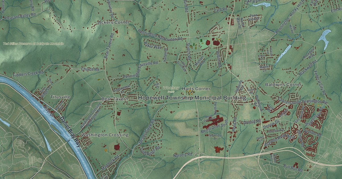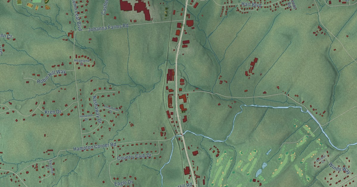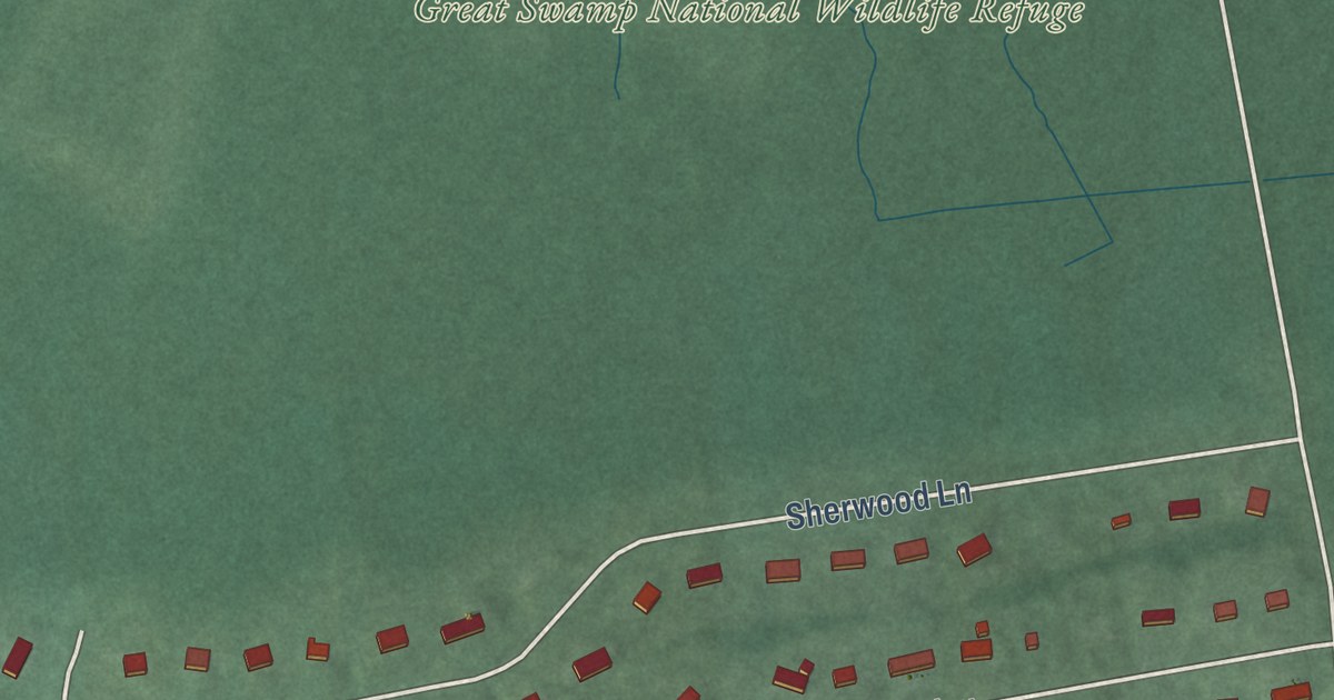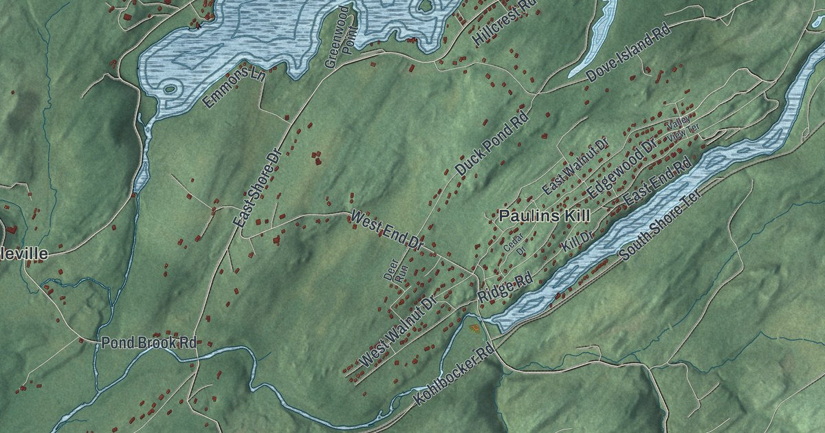
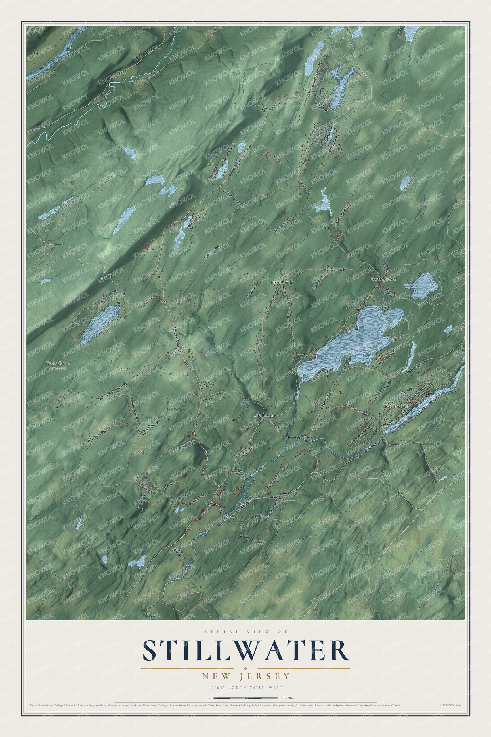
This beautifully detailed map of Stillwater, New Jersey was created in 2026 using aerial imagery combined with modern topographical, census, street and landmark data. It’s a one-of-a-kind view of Stillwater that combines accurate data with a vintage aesthetic. The map shows every building in its true location, many of the roads carry their names, and the shaded topographic relief shows the shape of the land.
Explore an aerial view of Stillwater, New Jersey
On the map you’ll find Five Points, Middleville, Paulins Kill, Swartswood, and Blair Creek Preserve, along with Fairview Lake Road, Main Fredon Road, Fredon Road, Main Street, Stillwater Road, and more. If you look closely you can even find your house accurately drawn in its correct location. Zoom in on the preview to look for yours.
Did You Know?
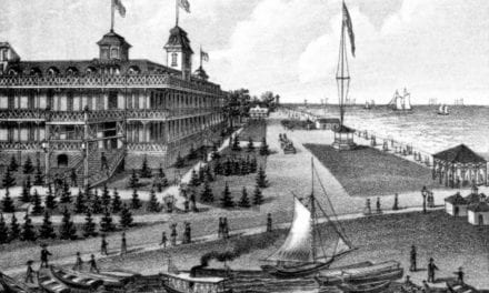
German immigrants from the Palatine region settled Stillwater and the Paulins Kill valley. The first came in 1741: Casper Shafer, John George Wintermute and Johan Peter Bernhardt, with their families. By 1771 their community had finished a church built of local fieldstone, shared by Lutheran and German Reformed worshippers.
Take a closer look at the Stillwater map
Names on this map
These names are printed on this map.
Places: Blair Creek Preserve, Five Points, Middleville, Paulins Kill and Swartswood.
Streets and roads: Fairview Lake Road, Main Fredon Road, Fredon Road, Main Street, Stillwater Road, West End Drive, Maple Avenue, Owassa Road, Mount Benevolence Road, Old Foundry Road, East Shore Drive, Old School House Road.
More street names, A to Z
Anne Road, Aspen Drive, Camp Lou Henry Hover Road, Cedar Drive, Cedar Ridge Road, Deer Run, Dick Casttle Road, Dove Island Road, Duck Pond Road, East End Road, East Wall Street, East Walnut Drive, Edgewood Drive, Emmons Lane, Field Lane, Five Points Lane, Greenwood Point, Hampton Road, Hardwick Road, Hillcrest Road, Horse Valley Road, Kill Drive, Kohlbocker Road, Laurel Drive, Lotus Terrace, Lower Lake Road West, McCain Lane, Middleville Road, Millbrook Road, Mountain Shadow Lane, Mount Holly Road, Mullins Road, Nelsons Lane, Newton Swartswood Road, North Brooklake Trail, Old Station Road, Old Tannery Road, Oriole Trail, Partridge Road, Peony Lane, Plymouth Lake Drive, Plymouth Lk Drive, Pompey Lane, Pond Brook Road, Poplar Terrace, Possum Hill Road, Potters Road, Ridge Road, Saddle Back Road, South Shore Terrace, Sprout Hill Road, Stone Bridge Road, Thoenig Road, Tulip Terrace, Twin Oaks Road, Upper Ymca Road, Valley View Terrace, Vanderhagen Lane, Verga Lane, Wall Street, West Walnut Drive, Winding Way.
See it on a wall
The Stillwater map as an 18 x 24 inch print in a black frame.

This beautifully detailed map of Stillwater makes an attractive addition to your office, library, or den, and it can even be used to teach children the geography and history of the area. It also makes a great gift for anyone who grew up in Stillwater or moved away. When you’re done exploring, click here to get your copy of the Stillwater map.