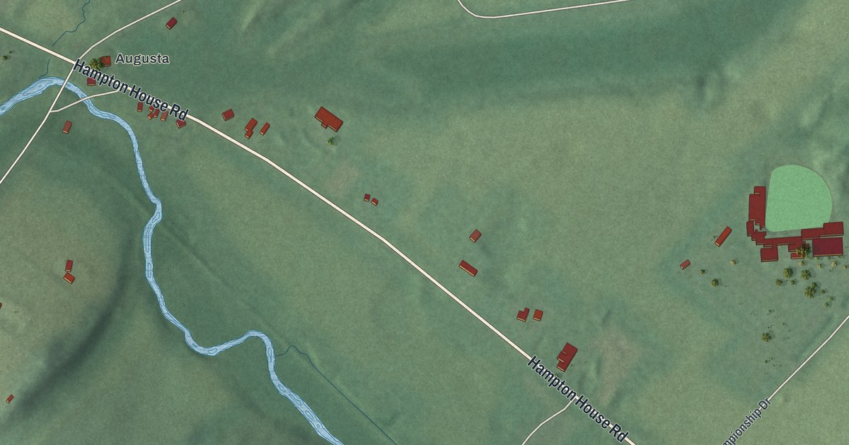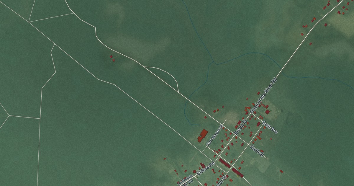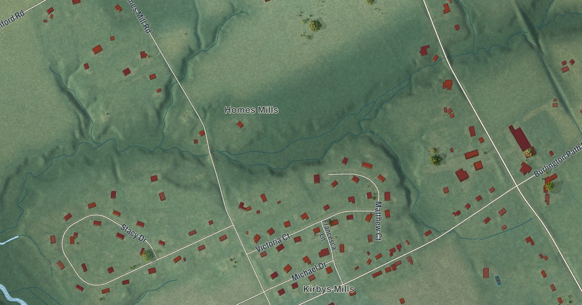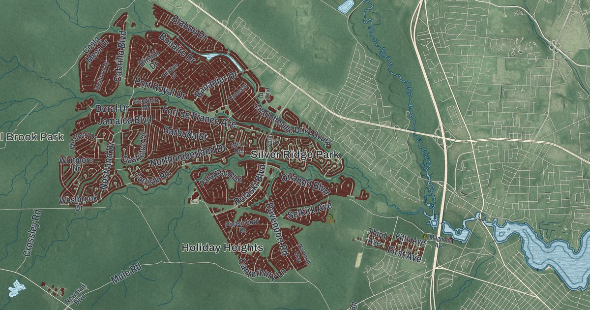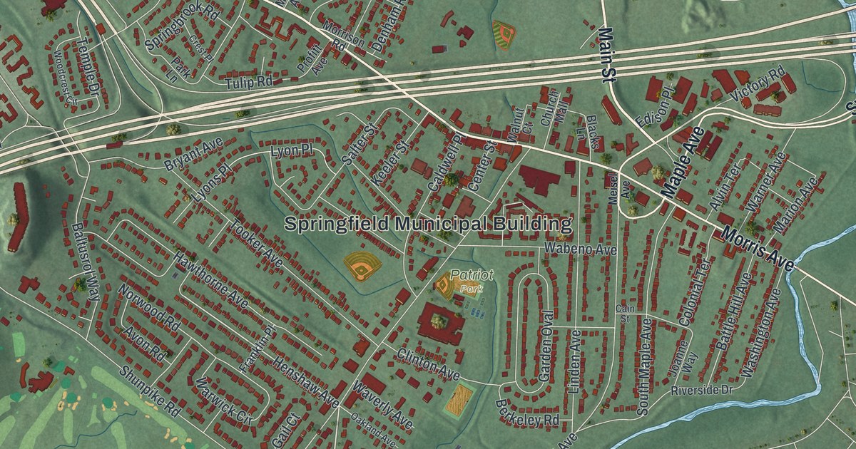
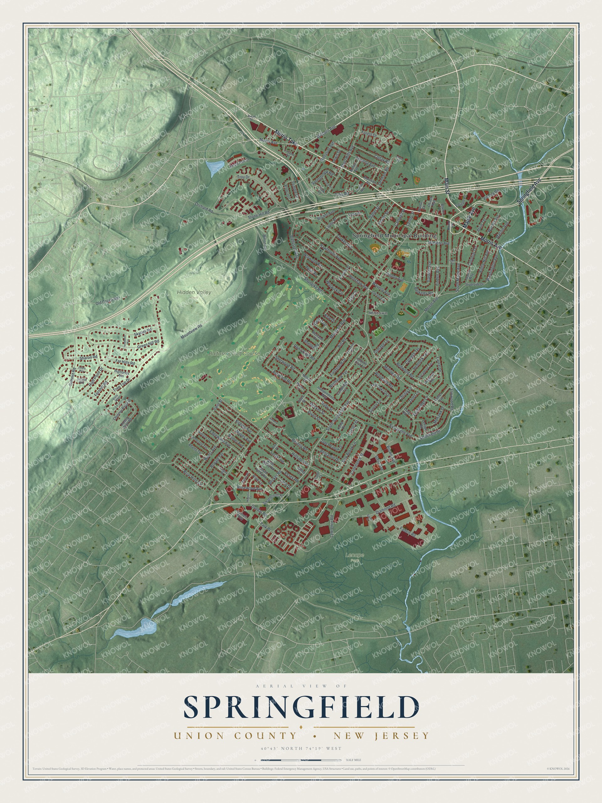
This beautifully detailed map of Springfield, Union County, New Jersey was created in 2026 using aerial imagery combined with modern topographical, census, street and landmark data. It’s a one-of-a-kind view of Springfield that combines accurate data with a vintage aesthetic. The map shows every building in its true location, many of the roads carry their names, and the shaded topographic relief shows the shape of the land.
Explore an aerial view of Springfield, Union County, New Jersey
On the map you’ll find Springfield Municipal Building, Milltown, Hidden Valley Park, Lenape Park, and Patriot Park, along with Morris Avenue, Main Street, Morris Turnpike, Maple Avenue, and more. If you look closely you can even find your house accurately drawn in its correct location. Zoom in on the preview to look for yours.
Take a closer look at the Springfield, Union County map
Names on this map
These names are printed on this map.
Places: Springfield Municipal Building, Hidden Valley Park, Lenape Park, Patriot Park, Milltown and Baltusrol Golf Course.
Streets and roads: Morris Avenue, Main Street, Morris Turnpike, Maple Avenue, Springfield Avenue, Millburn Avenue, South Springfield Avenue, Henshaw Avenue, Mountain Avenue, Meisel Avenue, Hillside Avenue, Shunpike Road.
More street names, A to Z
Adams Terrace, Alvin Terrace, Ann Place, Archbridge Lane, Ashwood Road, Astor Place, Avon Road, Baltusrol Avenue, Baltusrol Way, Battle Hill Avenue, Becker Road, Benjamin Drive, Berkeley Road, Beverly Road, Blacks Lane, Briant Park Drive, Briar Hills Circle, Broad Street, Brown Avenue, Bryant Avenue, Cain Street, Caldwell Place, Cambridge Terrace, Center Street, Chimney Ridge Drive, Christy Lane, Church Mall, Clinton Avenue, Colfax Road, Colonial Terrace, Commerce Street, Cornell Parkway, Cottage Lane, Cottler Avenue, Country Club Lane, Craig Road, Crescent Road, Crest Place, Cypress Terrace, Denham Road, Diamond Road, Diven Street, Dogwood Terrace, Donna Road, Dundar Road, Edgewood Avenue, Edison Place, Elmwood Road, Essex Road, Evergreen Avenue, Fadem Road, Far Hills Road, Fernhill Road, Fieldstone Drive, Fieldstone Road, Forest Drive, Franklin Place, Gail Court, Garden Oval, Golf Oval, Green Hill Road, Gregory Road, Hawthorne Avenue, Hemlock Terrace, Highlands Avenue, High Point Drive, Hilltop Court, Independence Way, Irwin Street, Jade Meadow Drive, Janet Lane, Jefferson Terrace, Joanne Way, Juniper Way, Keeler Street, Kemp Drive, Kew Drive, Kimberly Court, Kipling Avenue, Laurel Drive, Lawrence Road, Layng Terrace, Lelak Avenue, Lenape Road, Lewis Drive, Linden Avenue, Lynn Drive, Lyon Place, Lyons Place, Madden Court, Madison Terrace, Magnolia Terrace, Mapes Avenue, Marion Avenue, Meckes Street, Milltown Road, Mohawk Drive, Molter Avenue, Morrison Road, Mountview Road, Nelson Place, New Brook Lane, North Derby Road, Northview Terrace, Norwood Road, Oakland Avenue, Old Coach Road, Orchard Road, Outlook Way, Park Lane, Park Place, Persimmon Way, Pine Lane, Pitt Road, Profitt Avenue, Redwood Road, Remer Avenue, Richland Drive, Riverside Drive, Rolling Rock Road, Ron's Edge Road, Ronald Terrace, Rosewood Avenue, Ruby Street, Salter Street, Schaffernoth Place, Severna Avenue, Sharon Road, Shelley Road, Sherwood Road, Short Hills Avenue, Silver Court, Skylark Road, Smithfield Drive, South Derby Road, South Maple Avenue, Springbrook Road, Stern Avenue, Stiles Street, Stone Hill Road, Summit Road, Surrey Lane, Sycamore Terrace, Temple Drive, Tooker Avenue, Tree Top Drive, Troy Drive, Tudor Court, Tulip Road, Twin Oaks Oval, Victory Road, Vista Way, Wabeno Avenue, Walnut Court, Warner Avenue, Warwick Circle, Washington Avenue, Waverly Avenue, Wentz Avenue, Wilson Road, Woodcrest Circle, Woodside Road.
See it on a wall
The Springfield, Union County map as an 18 x 24 inch print in a black frame.

This beautifully detailed map of Springfield, Union County makes an attractive addition to your office, library, or den, and it can even be used to teach children the geography and history of the area. It also makes a great gift for someone who left Springfield and still calls it home. When you’re done exploring, click here to get your copy of the Springfield, Union County map.