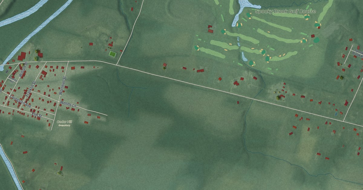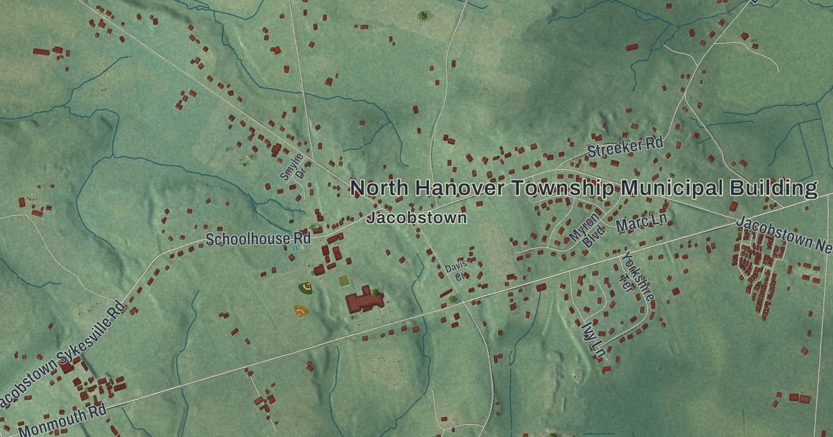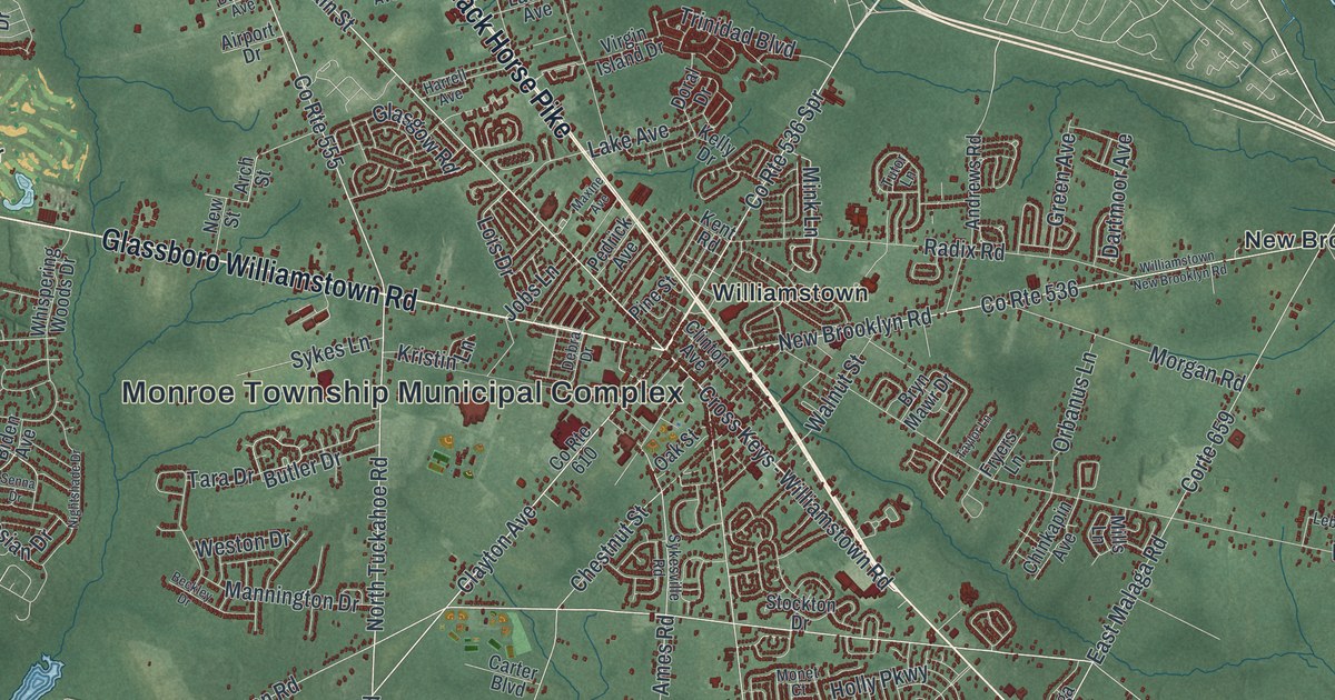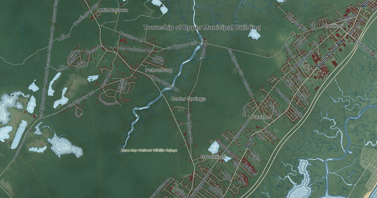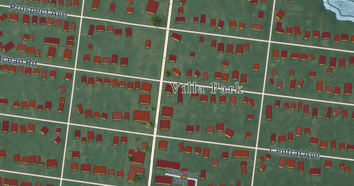
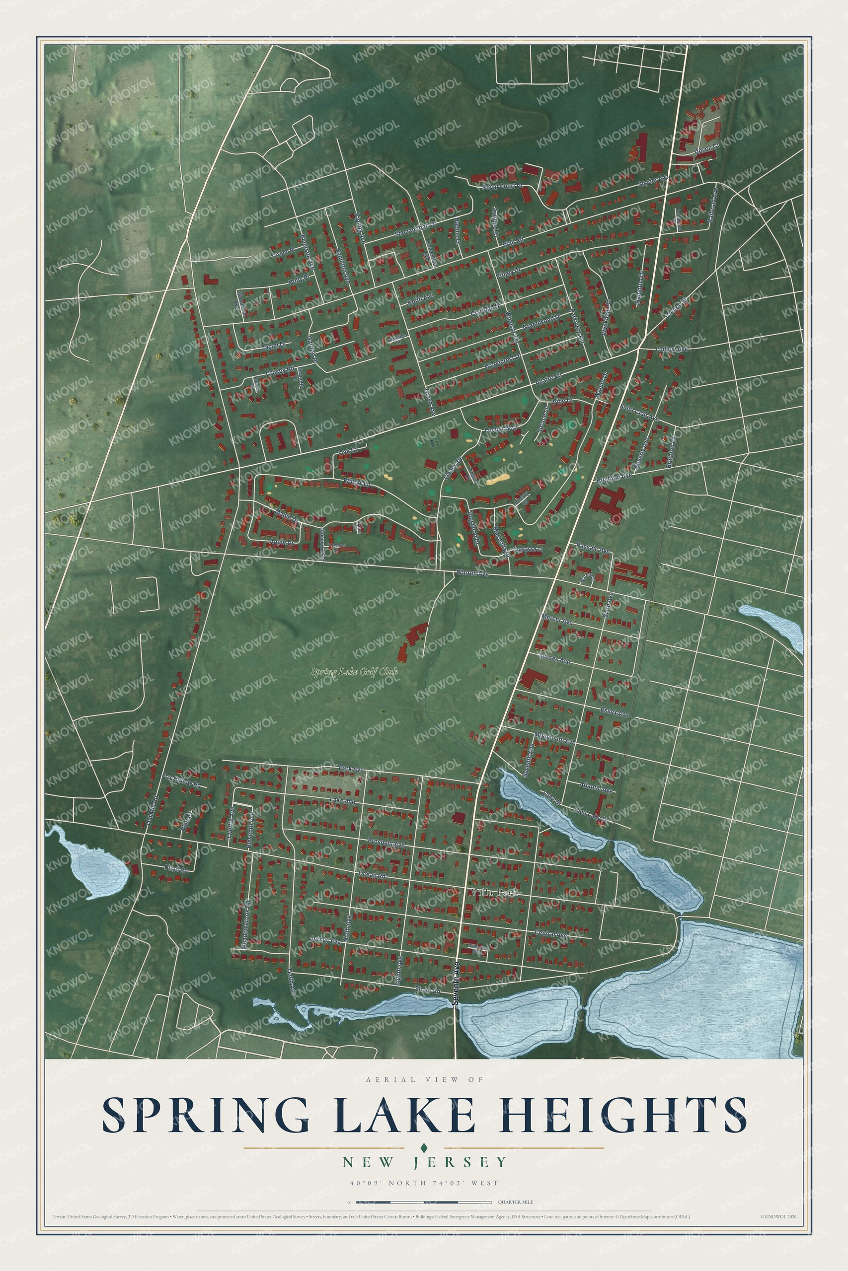
This beautifully detailed map of Spring Lake Heights, New Jersey was created in 2026 using aerial imagery combined with modern topographical, census, street and landmark data. It’s a one-of-a-kind view of Spring Lake Heights that combines accurate data with a vintage aesthetic. The map shows every building in its true location, many of the roads carry their names, and the shaded topographic relief shows the shape of the land.
Explore an aerial view of Spring Lake Heights, New Jersey
On the map you’ll find Villa Park, along with Seventh Avenue, Old Mill Road, Wall Road, Ocean Road, Warren Avenue, and more. If you look closely you can even find your house accurately drawn in its correct location. Zoom in on the preview to look for yours.
Did You Know?
The borough took its name from neighboring Spring Lake. That town was named for a clear lake fed by springs. State lawmakers created Spring Lake Heights out of parts of Wall Township in 1927, after local voters approved it.
Take a closer look at the Spring Lake Heights map
Names on this map
These names are printed on this map.
Places: Villa Park and Spring Lake Golf Club.
Streets and roads: Seventh Avenue, Old Mill Road, Wall Road, Ocean Road, Warren Avenue, Allaire Road, Sixth Avenue, Shore Road, Prospect Avenue, Central Avenue, Jersey Avenue, Park Avenue.
More street names, A to Z
Apple Court, Apple Drive, Ashford Court, Atlantic Avenue, Beverly Avenue, Blair Court, Brighton Avenue, Brighton Lane, Cherry Court, Church Street, Clairidge Drive, Claridge Drive, Crosby Road, Devon Court, Dogwood Court, Dogwood Drive, East Lake Drive, Eighth Avenue, Eleventh Avenue, Emerson Avenue, Essex Avenue, Fox Hollow Road, Garden Place, Greenwood Drive, Greve Avenue, Hamilton Avenue, Hampton Drive, Holly Place, Homestead Avenue, Jason Drive, Jeanette Court, Keith Avenue, Kipling Avenue, Lake Avenue, Lake Drive, Linden Court, Linden Drive, Locust Way, Ludlow Avenue, Magnolia Drive, Maple Drive, Meadowbrook Road, Mercer Avenue, Monmouth Avenue, Nadine Drive, Ninth Avenue, Norman Terrace, Oak Court, Oceanside Court, Parkview Terrace, Passaic Avenue, Pine Drive, Pitney Drive, Pond Road, Railroad Avenue, Rosewood Court, Rosewood Drive, Royal Court Drive, Saint Clair Avenue, Shenandoah Drive, Snyder Avenue, Spruce Lane, Sussex Avenue, Tenth Avenue, Tuxedo Place, Twelfth Avenue, Walnut Drive, Warren Court, Waterford Way, Willow Lane, Windsor Terrace, Woodcrest Drive, Woodland Avenue, Wyckham Road.
See it on a wall
The Spring Lake Heights map as an 18 x 24 inch print in a black frame.

This beautifully detailed map of Spring Lake Heights makes an attractive addition to your office, library, or den, and it can even be used to teach children the geography and history of the area. It also makes a great gift for anyone who grew up in Spring Lake Heights or moved away. When you’re done exploring, click here to get your copy of the Spring Lake Heights map.