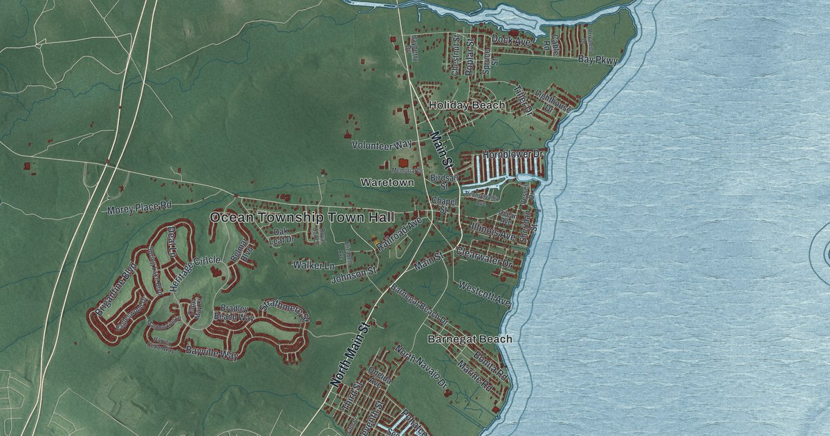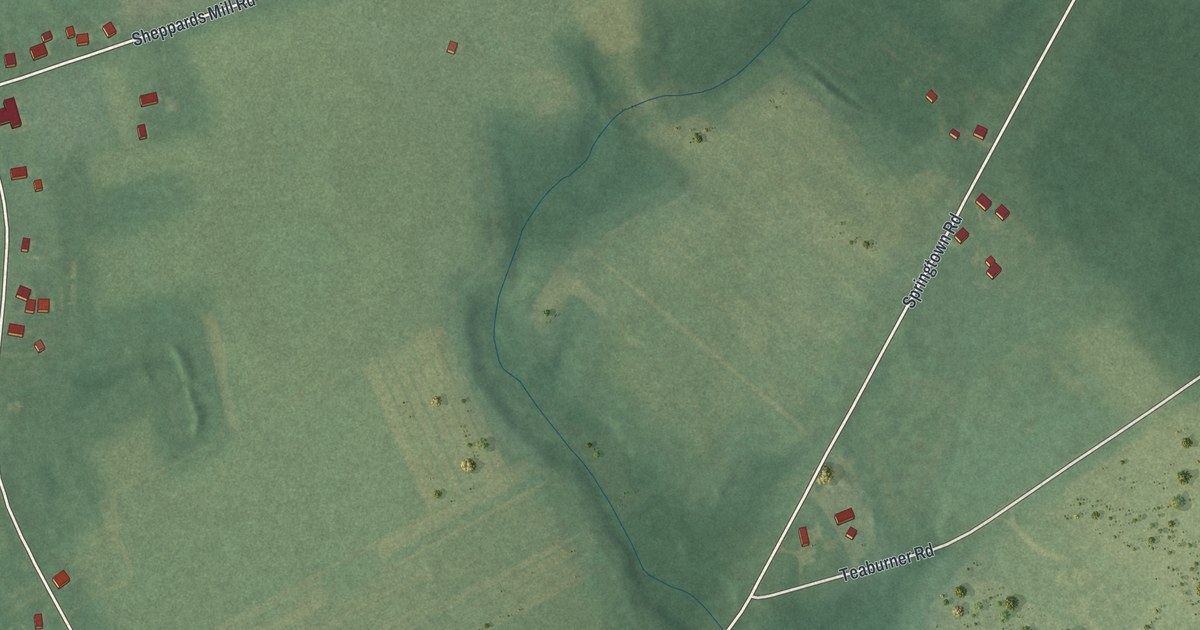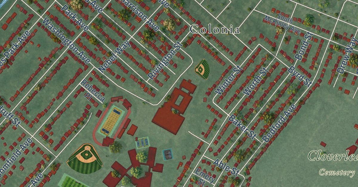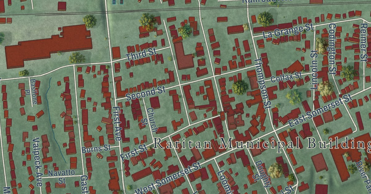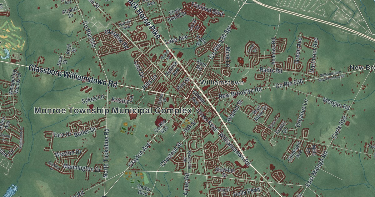
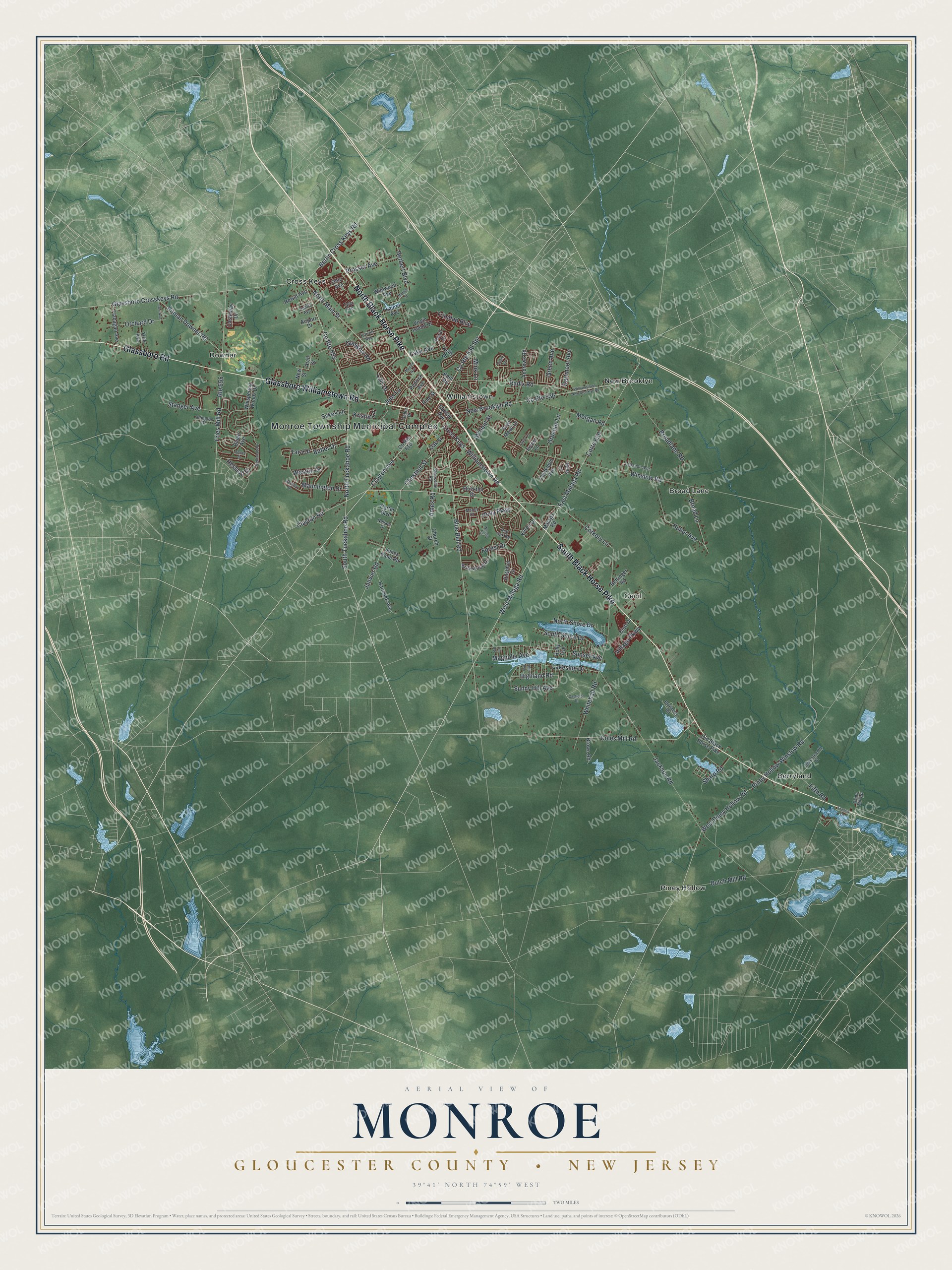
This beautifully detailed map of Monroe, Gloucester County, New Jersey was created in 2026 using aerial imagery combined with modern topographical, census, street and landmark data. It’s a one-of-a-kind view of Monroe that combines accurate data with a vintage aesthetic. The map shows every building in its true location, many of the roads carry their names, and the shaded topographic relief shows the shape of the land.
Explore an aerial view of Monroe, Gloucester County, New Jersey
On the map you’ll find Monroe Township Municipal Complex, Berryland, Cecil, Cross Keys, and Downer, along with Black Horse Pike, Glassboro Road, Glassboro Williamstown Road, Main Street, Broad Lane, and more. If you look closely you can even find your house accurately drawn in its correct location. Zoom in on the preview to look for yours.
Did You Know?
Monroe Township honors President James Monroe. It was carved out of Washington Township in 1859, when the area still belonged to Camden County. In 1871 the township moved to Gloucester County, along with most of Washington Township.
Take a closer look at the Monroe, Gloucester County map
Names on this map
These names are printed on this map.
Places: Monroe Township Municipal Complex, Berryland, Broad Lane, Cecil, Cross Keys, Downer, New Brooklyn, Piney Hollow and Williamstown.
Streets and roads: South Black Horse Pike, North Black Horse Pike, Glassboro Road, Glassboro Williamstown Road, County Route 555, North Main Street, West Malaga Road, Clayton Avenue, Cross Keys - Williamstown Road, County Route 536 Spr, Berlin Cross Keys Road, Corte 659.
More street names, A to Z
16th Avenue, Airport Drive, Ames Road, Andrews Road, Arch Street, Arlington Drive, Beckley Drive, Bettinger Road, Biden Avenue, Blue Bell Road, Blueberry Road, Briarwood Drive, Broadlane Road, Brown Road, Bryn Mawr Drive, Butler Drive, Cains Mill Road, Carter Boulevard, Castlebay Drive, Castleton Drive, Chestnut Street, Chinkapin Avenue, Church Street, Clayton Road, Clinton Avenue, Club Drive, Coles Mill Road, Corkery Lane, County Route 536, County Route 610, Dahlia Avenue, Dartmoor Avenue, Debra Drive, Doral Drive, Dutch Mill Road, East Malaga Road, Fifth Road, Flanagan Avenue, Forest Drive, Francis Lane, Fries Mill Road, Fryers Lane, Glasgow Road, Glassboro Crosskeys Road, Green Avenue, Hancock Avenue, Harrell Avenue, Herbert Boulevard, Hessian Drive, Hewitt Avenue, Highland Road, Holly Avenue, Holly Parkway, Huber Avenue, Iris Avenue, Jackson Road, Janvier Road, Jobs Lane, Jones Kane Road, Karen Drive, Kelly Drive, Kent Road, Kristin Lane, Lake Avenue, Lakeside Drive, Laurel Avenue, Lebanon Avenue, Lois Drive, Magnolia Avenue, Malaga Road, Mannington Drive, Market Street, Maxine Avenue, Mills Lane, Mink Lane, Monet Court, Morgan Road, Nelson Drive, New Brooklyn Road, New Street, Nightshade Drive, North Shore Drive, North Tuckahoe Road, Oak Street, Ohio Avenue, Old Black Horse Pike, Orbanus Lane, Orchard Drive, Pedrick Avenue, Pine Street, Piney Hollow Winslow Road, Pitman Downer Road, Prosser Avenue, Radix Road, Red Oak Road, Rex Avenue, Route 655, Rushfoil Drive, Senna Drive, Seventeenth Street, Sharp Road, South Shore Drive, South Tuckahoe Road, Stanger Avenue, Stockton Drive, Sunny Hill Avenue, Sunset Avenue, Sykes Lane, Sykesville Road, Tara Drive, Taylor Lane, Trinidad Boulevard, Tutor Lane, Tyler Avenue, Village Parkway, Virgin Island Drive, Walnut Street, Weston Drive, West Piney Hollow Road, Whispering Woods Drive, Whitehall Road, Wildwood Avenue, Williamstown New Brooklyn Road, Winslow Road, Woods Road, York Avenue.
See it on a wall
The Monroe, Gloucester County map as an 18 x 24 inch print in a black frame.

This beautifully detailed map of Monroe, Gloucester County makes an attractive addition to your office, library, or den, and it can even be used to teach children the geography and history of the area. It also makes a great gift for someone who left Monroe and still calls it home. When you’re done exploring, click here to get your copy of the Monroe, Gloucester County map.