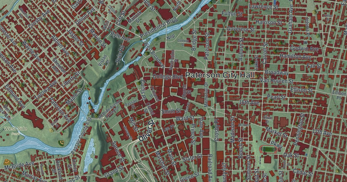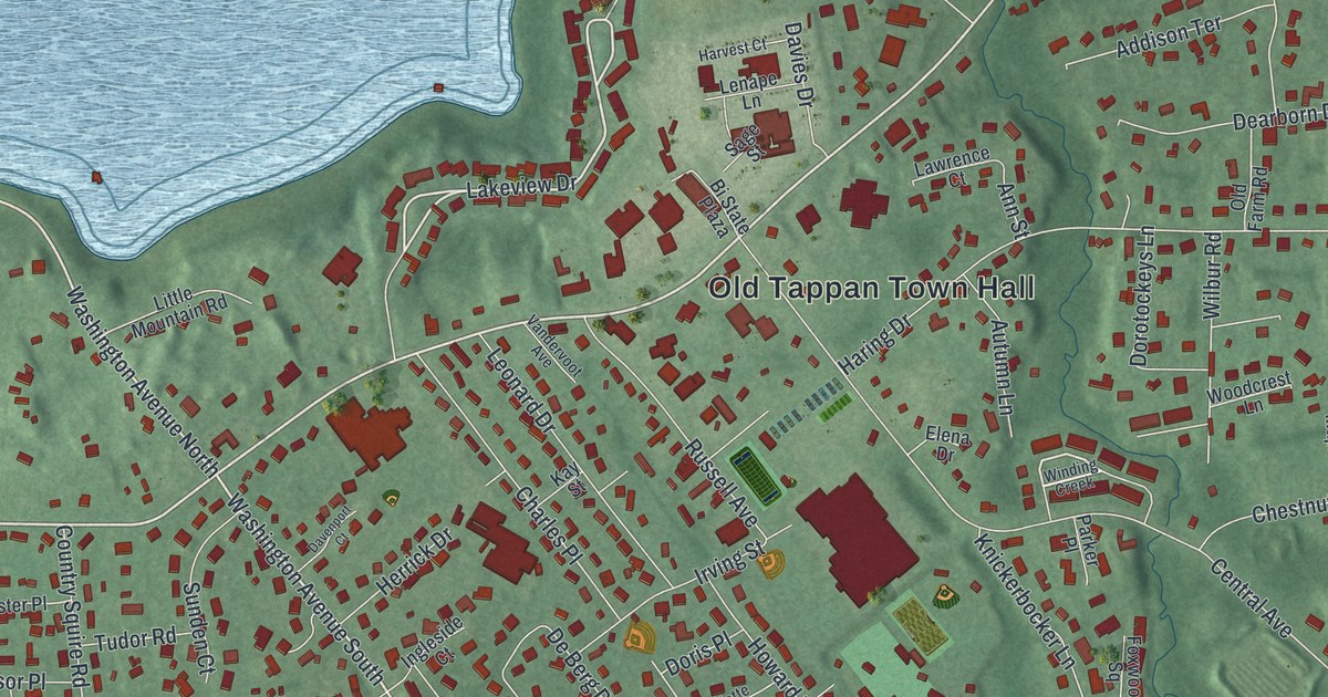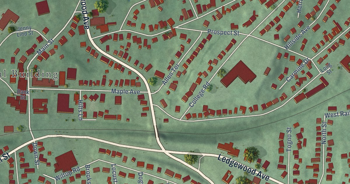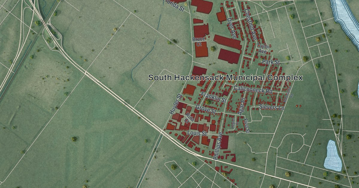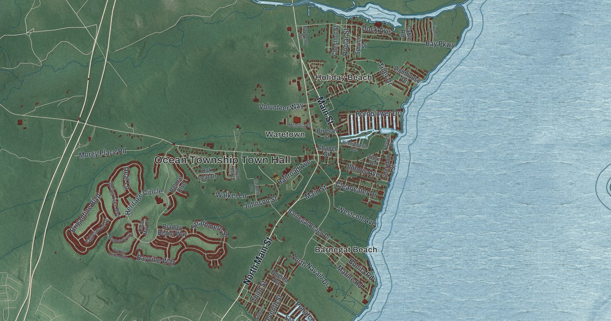
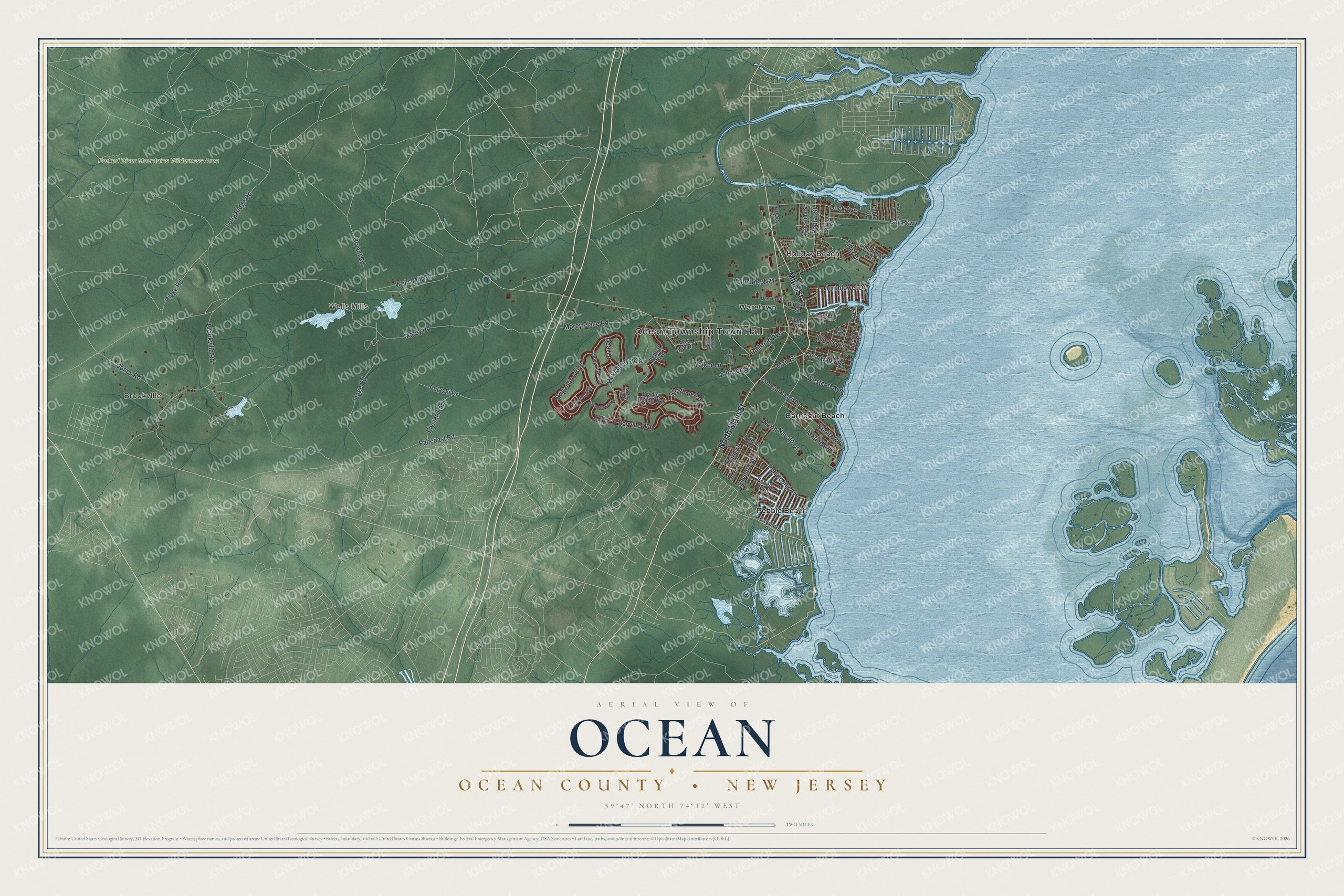
This beautifully detailed map of Ocean, Ocean County, New Jersey was created in 2026 using aerial imagery combined with modern topographical, census, street and landmark data. It’s a one-of-a-kind view of Ocean that combines accurate data with a vintage aesthetic. The map shows every building in its true location, many of the roads carry their names, and the shaded topographic relief shows the shape of the land.
Explore an aerial view of Ocean, Ocean County, New Jersey
On the map you’ll find Ocean Township Town Hall, Brookville, Wells Mills, Barnegat Beach, Holiday Beach, and Pebble Beach, along with Main Street, Clearwater Drive, Wells Mill Road, Pancoast Road, and more. If you look closely you can even find your house accurately drawn in its correct location. Zoom in on the preview to look for yours.
Did You Know?
Waretown, a community in Ocean Township, took its name from Abraham Weair. He came around 1737 with a colony of Rogerine Baptists and built a sawmill. When the colony moved away eleven years later, Weair stayed on and became a leading member of the community.
Take a closer look at the Ocean, Ocean County map
Names on this map
These names are printed on this map.
Places: Ocean Township Town Hall, Brookville, Wells Mills, Forked River Mountains Wilderness Area, Barnegat Beach, Holiday Beach, Pebble Beach, Waretown and Elysian Park.
Streets and roads: North Main Street, Main Street, Clearwater Drive, Wells Mill Road, Pancoast Road, Jones Road, Morey Road, Brookville Road, Bryant Road, Bay Parkway, Seventh Street, Heritage Cirlcle.
More street names, A to Z
Barnegat Beach Drive, Bayberry Drive, Bayshore Drive, Bayville Way, Belmar Boulevard, Birdsall Street, Bonita Road, Bradley Beach Way, Brigantine Boulevard, Cable Road, Cape May Court, Chapel Street, Chestnut Street, Deal Lane, Dock Avenue, Eagleswood Drive, Elizabeth Avenue, Fifth Street, Harvey Cedar Way, Hornblower Drive, Illinois Avenue, Johnson Street, Lighthouse Drive, Long Ridge Road, Mantoloking Lane, Marine Road, Memorial Drive, Morey Place Road, North Navajo Drive, Oak Leaf Drive, Ocean Avenue, Oneida Avenue, Pennsylvania Avenue, Pohatcong Avenue, Poplar Street, Privateer Drive, Pulaski Drive, Railroad Avenue, Ridge Road, Royal Oak Drive, Seneca Boulevard, Sheridan Street, Spring Lake Boulevard, Spruce Street, Stage Road, Strathmere Street, Third Street, Tiller Drive, Vessel Drive, Volunteer Way, Walker Lane, Westcott Avenue.
See it on a wall
The Ocean, Ocean County map as an 18 x 24 inch print in a black frame.

This beautifully detailed map of Ocean, Ocean County makes an attractive addition to your office, library, or den, and it can even be used to teach children the geography and history of the area. It also makes a great gift for someone who left Ocean and still calls it home. When you’re done exploring, click here to get your copy of the Ocean, Ocean County map.