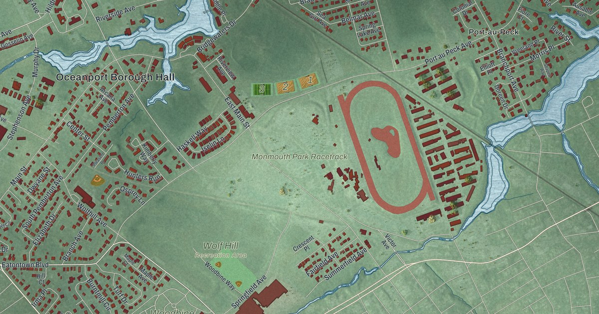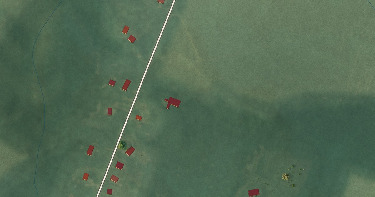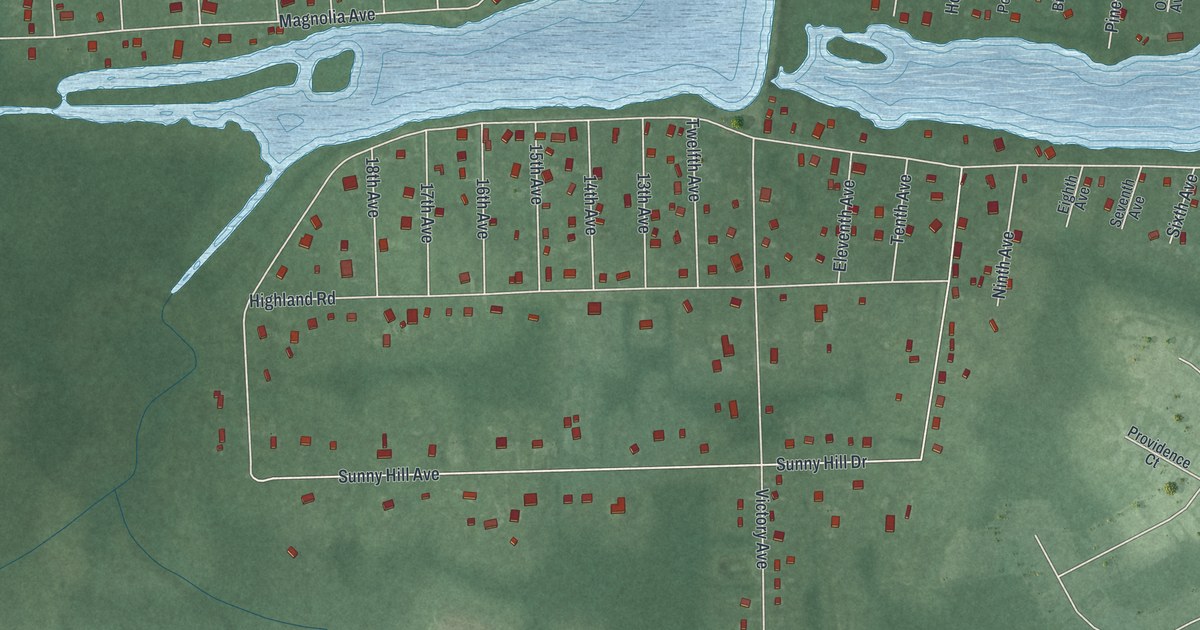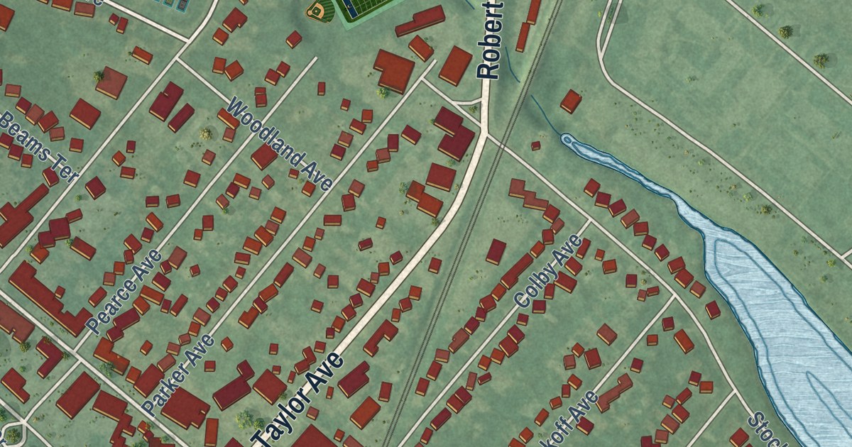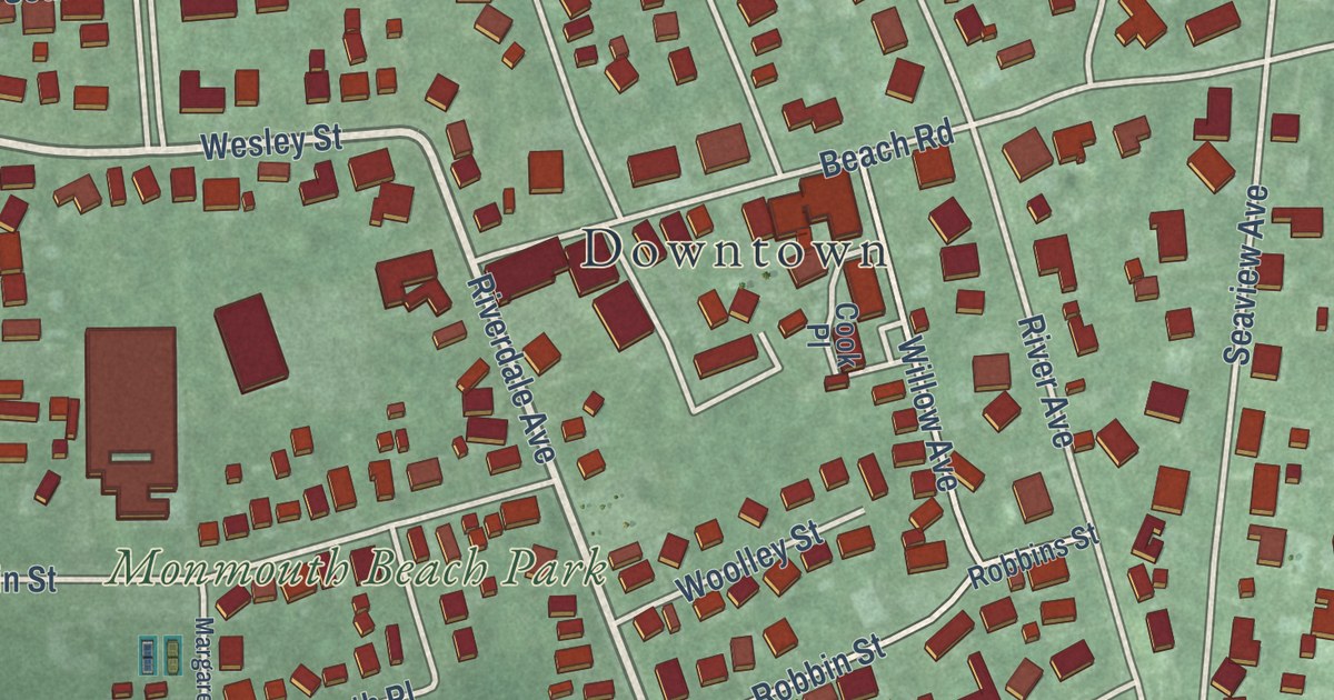
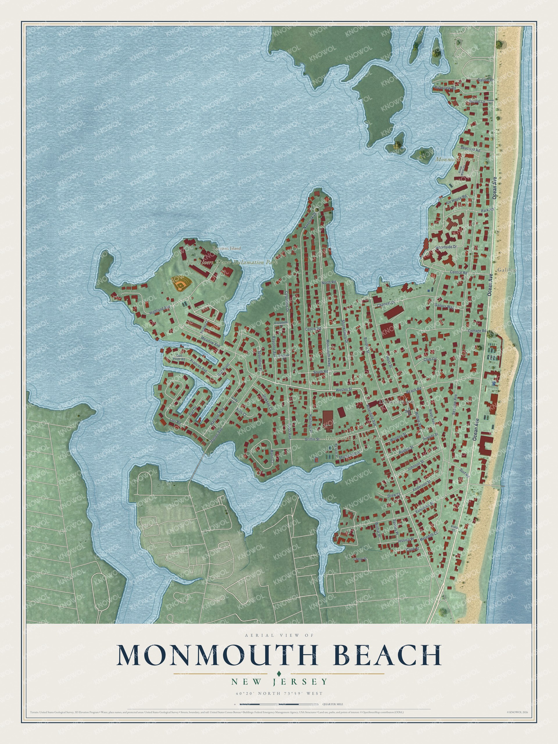
This beautifully detailed map of Monmouth Beach, New Jersey was created in 2026 using aerial imagery combined with modern topographical, census, street and landmark data. It’s a one-of-a-kind view of Monmouth Beach that combines accurate data with a vintage aesthetic. The map shows every building in its true location, many of the roads carry their names, and the shaded topographic relief shows the shape of the land.
Explore an aerial view of Monmouth Beach, New Jersey
On the map you’ll find Downtown, Galilee, Raccoon Island, Monmouth Beach Park, and Two Rivers Water Reclamation Park, along with Ocean Avenue, Riverdale Avenue, Wharfside Drive, Wesley Street, and more. If you look closely you can even find your house accurately drawn in its correct location. Zoom in on the preview to look for yours.
Did You Know?
Settlers first came to Monmouth Beach in 1668. It grew into a real community after the Long Branch and Sea Shore Railroad arrived. Many of its early residents fished for a living and had Norwegian roots. The borough was carved from Ocean Township in 1906.
Take a closer look at the Monmouth Beach map
Names on this map
These names are printed on this map.
Places: Downtown, Galilee, Raccoon Island, Monmouth Beach Park, Two Rivers Water Reclamation Park and Monmouth Beach.
Streets and roads: Ocean Avenue, Riverdale Avenue, Wharfside Drive, Wesley Street, Park Road, Shrewsbury Drive, Seaview Avenue, Monmouth Parkway, River Avenue, Navesink Drive, Valentine Street, Meadow Avenue.
More street names, A to Z
Anderson Street, Andy Lane, Bayonne Avenue, Beach Road, Borden Street, Break Water Cv, Central Road, Centre Road, Channel Drive, Cherry Street, Club Circle, Columbus Drive, Cook Place, Cook Street, Cottage Road, Drew Court, Eleanor Place, Elizabeth Place, Ellis Court, Frances Avenue, Gail Drive, Galilee Drive, Griffin Street, Gull Point, Gull Point Road, Harbour Way, Hastings Place, Highland Avenue, Ice House Road, Jackson Court, Jessica Place, Johnson Street, Lori Road, Mann Court, Margaret Place, Meredith Court, Monmouth Place, North Road, Patten Avenue, Pirates Court, Riverview Road, Robbins Street, Robbin Street, Sailors Way, Seacrest Road, South Road, Spaulding Place, Sunset Lane, Sunset Road, Surf Road, Sydney Place, Tocci Avenue, Vista Court, West Street, Willow Avenue, Winhar Place, Woolley Street.
See it on a wall
The Monmouth Beach map as an 18 x 24 inch print in a black frame.

This beautifully detailed map of Monmouth Beach makes an attractive addition to your office, library, or den, and it can even be used to teach children the geography and history of the area. It also makes a great gift for anyone with Monmouth Beach roots. When you’re done exploring, click here to get your copy of the Monmouth Beach map.