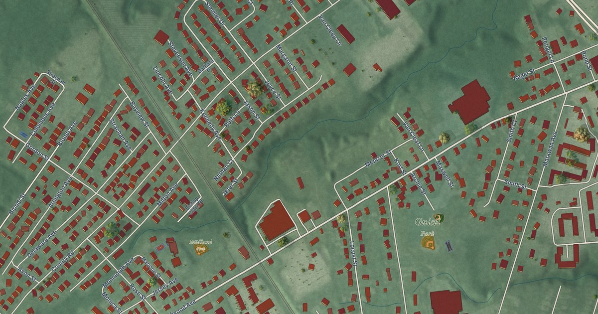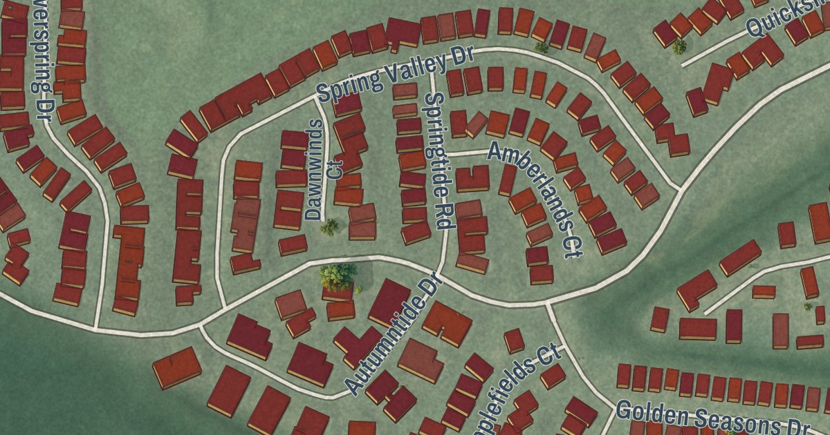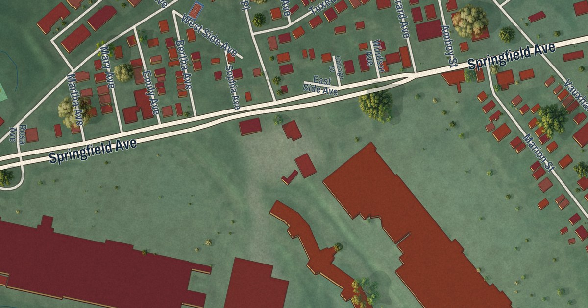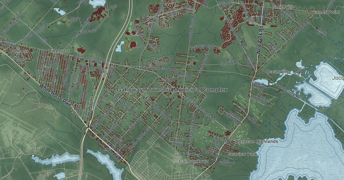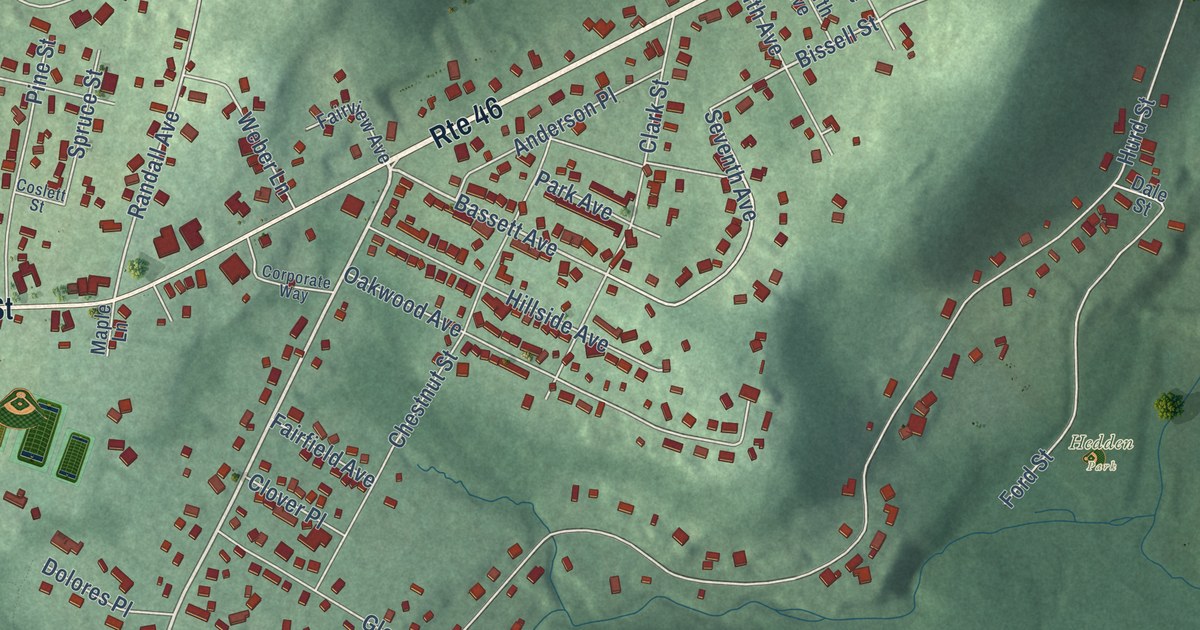
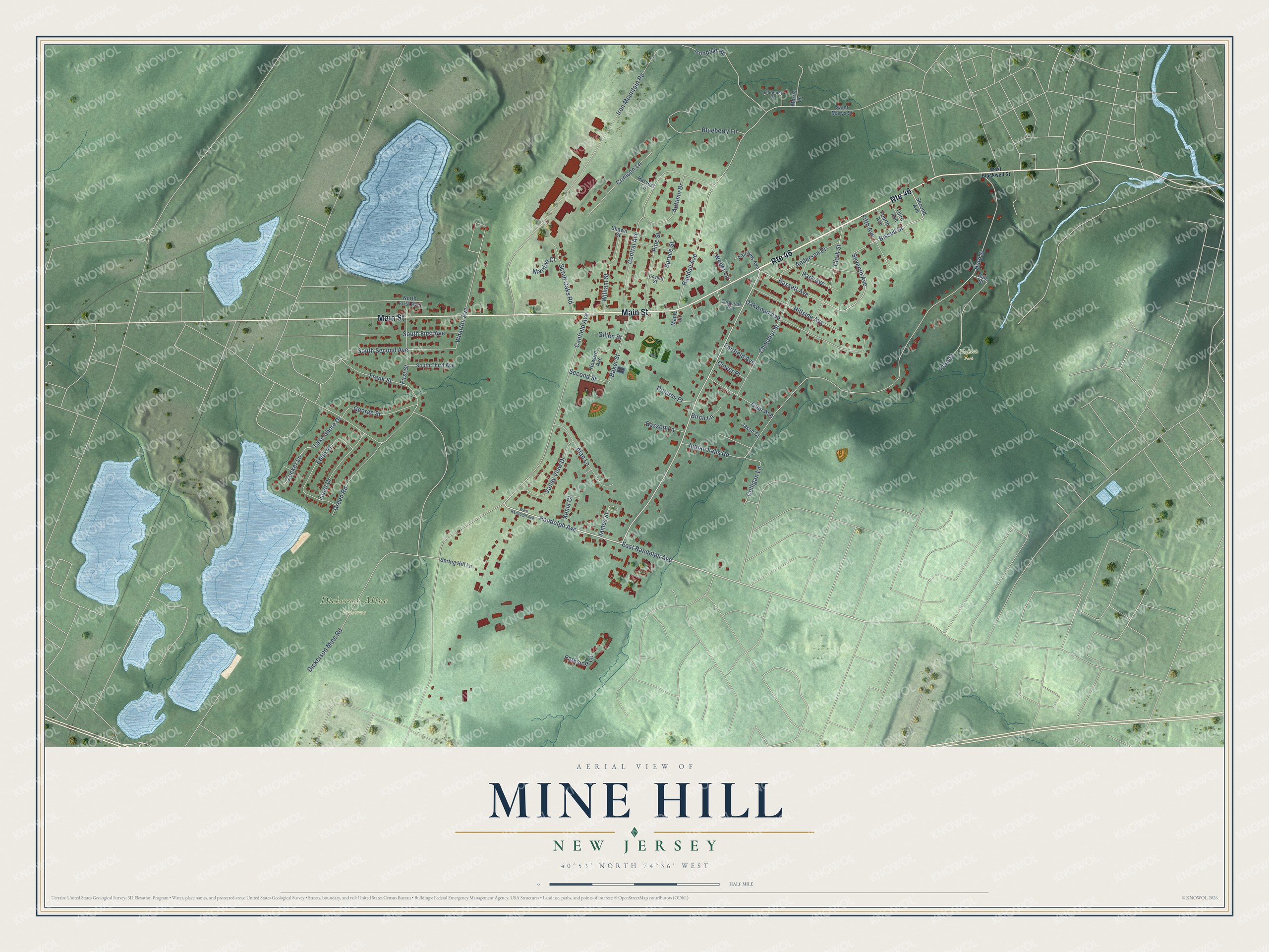
This beautifully detailed map of Mine Hill, New Jersey was created in 2026 using aerial imagery combined with modern topographical, census, street and landmark data. It’s a one-of-a-kind view of Mine Hill that combines accurate data with a vintage aesthetic. The map shows every building in its true location, many of the roads carry their names, and the shaded topographic relief shows the shape of the land.
Explore an aerial view of Mine Hill, New Jersey
On the map you’ll find Dickerson Mine Preserve, along with Main Street, Blackwell Street, Randolph Avenue, Bissell Street, Bassett Avenue, and more. If you look closely you can even find your house accurately drawn in its correct location. Zoom in on the preview to look for yours.
Did You Know?
Mine Hill takes its name from the mines worked here since the early 1700s. The area held some of the richest iron ore in the country. The Dickerson Mine, owned by the family of Governor Mahlon Dickerson, was the largest. It supplied much of the iron ore used in the Revolutionary War. The last mine closed in the late 1960s.
Take a closer look at the Mine Hill map
Names on this map
These names are printed on this map.
Places: Dickerson Mine Preserve and Hedden Park.
Streets and roads: Route 46, Main Street, Randolph Avenue, East Randolph Avenue, Bissell Street, Bassett Avenue, Dickerson Mine Road, Randall Avenue, South Second Avenue, Colligan Lane, Canfield Avenue, Hurd Street.
More street names, A to Z
Alan Lane, Anderson Place, Autumn Drive, Baker Street, Bassett Lane, Birch Lane, Blueberry Lane, Central Avenue, Chestnut Street, Clark Street, Clover Place, Corporate Way, Coslett Street, Crimson Lane, Dale Street, Dolores Place, Edith Place, Fairfield Avenue, Fairview Avenue, Fifth Avenue, First Street, Florence Lane, Ford Street, Fourth Avenue, Frank Street, George Street, Gillen Street, Glen Avenue, Green Road, Harvest Lane, Hillside Avenue, Howard Avenue, Indian Falls Road, Irondale Road, Iron Mountain Road, James Street, Janet Drive, Jason Court, Lake Shore Drive, Maple Lane, Mardan Court, Morris Lane, North First Avenue, Oakwood Avenue, Park Avenue, Parkside Lane, Pine Street, Saint Marys Street, Scrub Oaks Road, Second Avenue, Second Street, Seventh Avenue, Shawn Street, South First Avenue, South Third Avenue, Spring Hill Lane, Spruce Street, Third Avenue, Valley View Drive, Weber Lane, West Blackwell Street, West Randolph Avenue, Wharton Avenue, William Street, Xenia Court, Zucker Lane.
See it on a wall
The Mine Hill map as an 18 x 24 inch print in a black frame.

This beautifully detailed map of Mine Hill makes an attractive addition to your office, library, or den, and it can even be used to teach children the geography and history of the area. It also makes a great gift for someone who left Mine Hill and still calls it home. When you’re done exploring, click here to get your copy of the Mine Hill map.