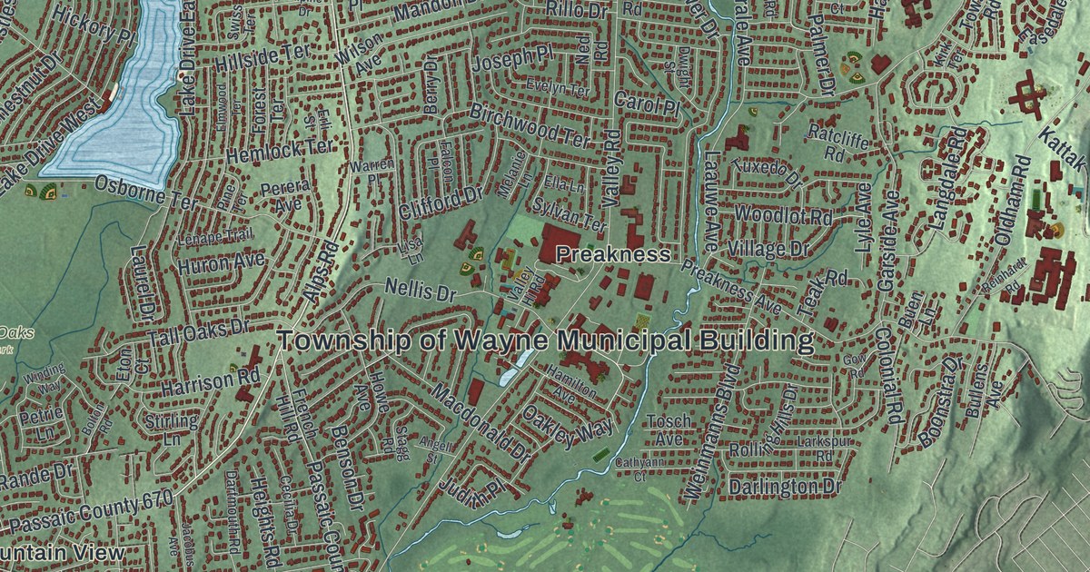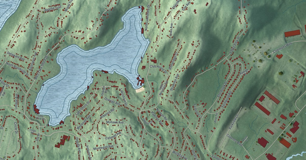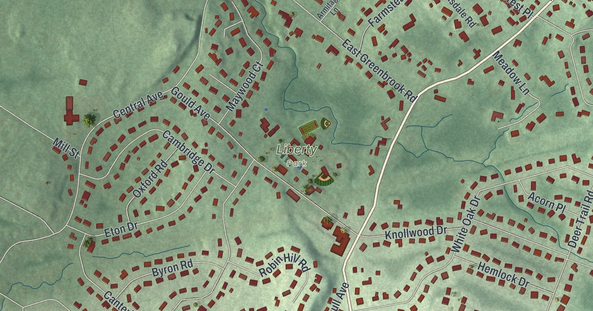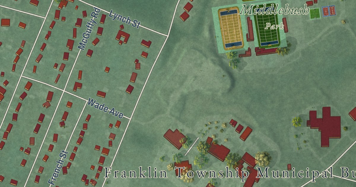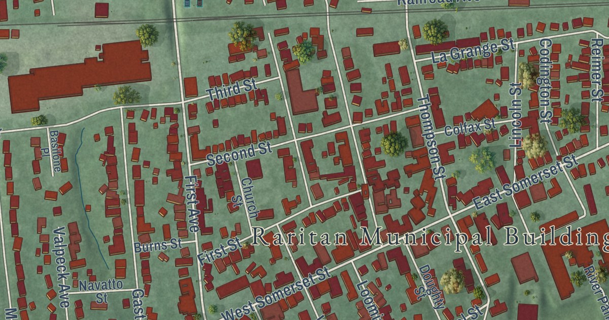
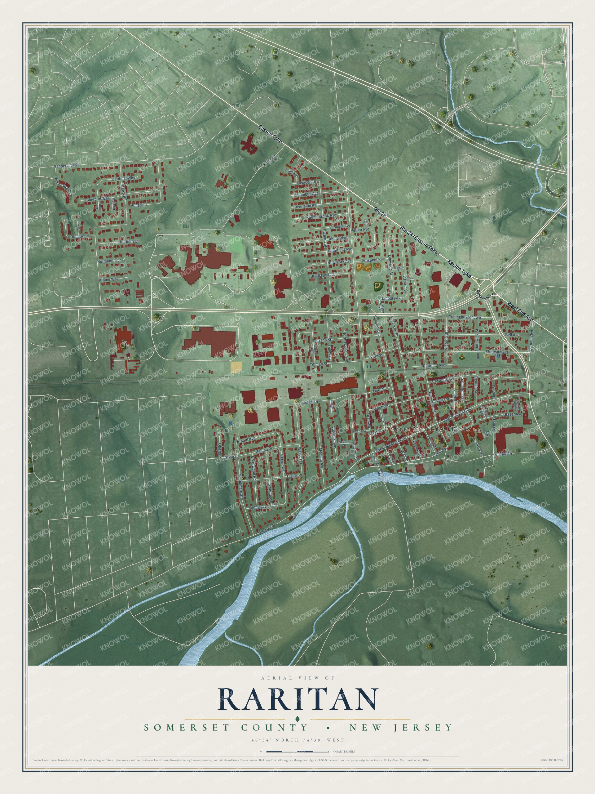
This beautifully detailed map of Raritan, Somerset County, New Jersey was created in 2026 using aerial imagery combined with modern topographical, census, street and landmark data. It’s a one-of-a-kind view of Raritan that combines accurate data with a vintage aesthetic. The map shows every building in its true location, many of the roads carry their names, and the shaded topographic relief shows the shape of the land.
Explore an aerial view of Raritan, Somerset County, New Jersey
On the map you’ll find Raritan Municipal Building and Duke Island Park, along with End Avenue, Easton Turnpike, Somerville Circle, First Avenue, and more. If you look closely you can even find your house accurately drawn in its correct location. Zoom in on the preview to look for yours.
Did You Know?
America’s part in World War I officially ended in Raritan. On July 2, 1921, President Warren Harding signed the Knox-Porter Resolution here. He signed it at the home of Senator Joseph S. Frelinghuysen of New Jersey. A memorial plaque in the borough marks the spot.
Take a closer look at the Raritan, Somerset County map
Names on this map
These names are printed on this map.
Places: Raritan Municipal Building.
Streets and roads: Route 28, West End Avenue, Easton Turnpike, First Avenue, Canal Street, West Somerset Street, East Somerset Street, Thompson Street, Berwick Street, Danbury Avenue, Vones Lane, Vanderveer Road.
More street names, A to Z
Alpine Way, Anderson Street, Arnold Avenue, Ashton Street, Avon Place, Avonridge Road, Barbieri Court, Basilone Place, Bell Avenue, Bluebird Way, Bound Brook Avenue, Brentwood Road, Brooklyn Avenue, Burns Street, Busky Lane, Cardinal Way, Centre Street, Church Street, Codington Street, Colby Avenue, Colfax Street, Columbus Avenue, Cornell Boulevard, Decicco Drive, Dipaolo Court, Doughty Street, Elizabeth Avenue, Elmer Street, Esposito Lane, Farrand Street, Fifth Street, First Street, Frelinghuysen Avenue, Gaston Avenue, Glaser Avenue, Granetz Plaza, Helene Place, Hidden Pond Court, Johnson Drive, La Grange Street, Leland Street, Lincoln Street, Loomis Street, Lyman Street, Lynwood Street, Marson Place, Meehan Avenue, Melanie Court, Navatto Street, Nevius Street, New York Avenue, Normandie Lane, North Gaston Avenue, Obert Drive, Old York Road, Orlando Drive, Ortho Drive, Perlee Avenue, Plainfield Avenue, Prospect Place, Quick Avenue, Railroad Avenue, Raritan Avenue, Reimer Street, Renzi Road, Rhine Boulevard, Richard Street, River Park Drive, River Road, Riverside Avenue, Robin Court, Roderer Drive, Second Avenue, Second Street, Sherman Avenue, Somerville Circle, Southwick Street, Third Street, Tillman Street, Torlish Gate, Tysley Place, Valpeck Avenue, Victoria Street, Wall Street, Weiss Terrace, Woodmere Street, Wyckoff Avenue.
See it on a wall
The Raritan, Somerset County map as an 18 x 24 inch print in a black frame.

This beautifully detailed map of Raritan, Somerset County makes an attractive addition to your office, library, or den, and it can even be used to teach children the geography and history of the area. It also makes a great gift for someone who left Raritan and still calls it home. When you’re done exploring, click here to get your copy of the Raritan, Somerset County map.