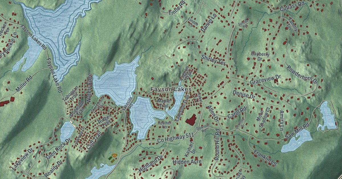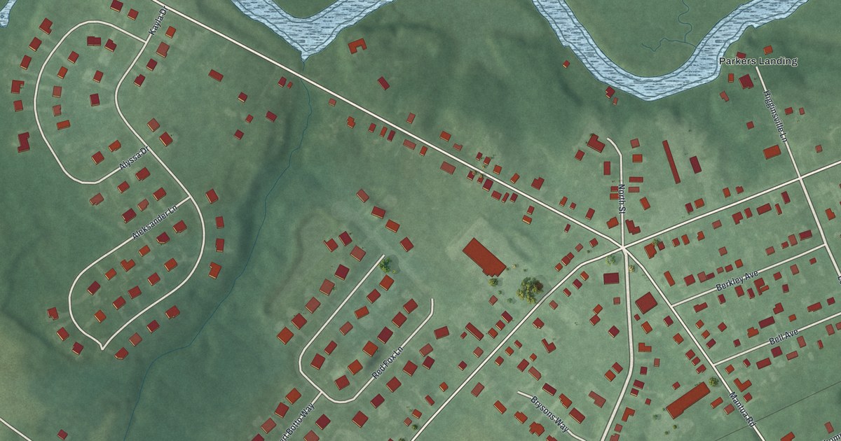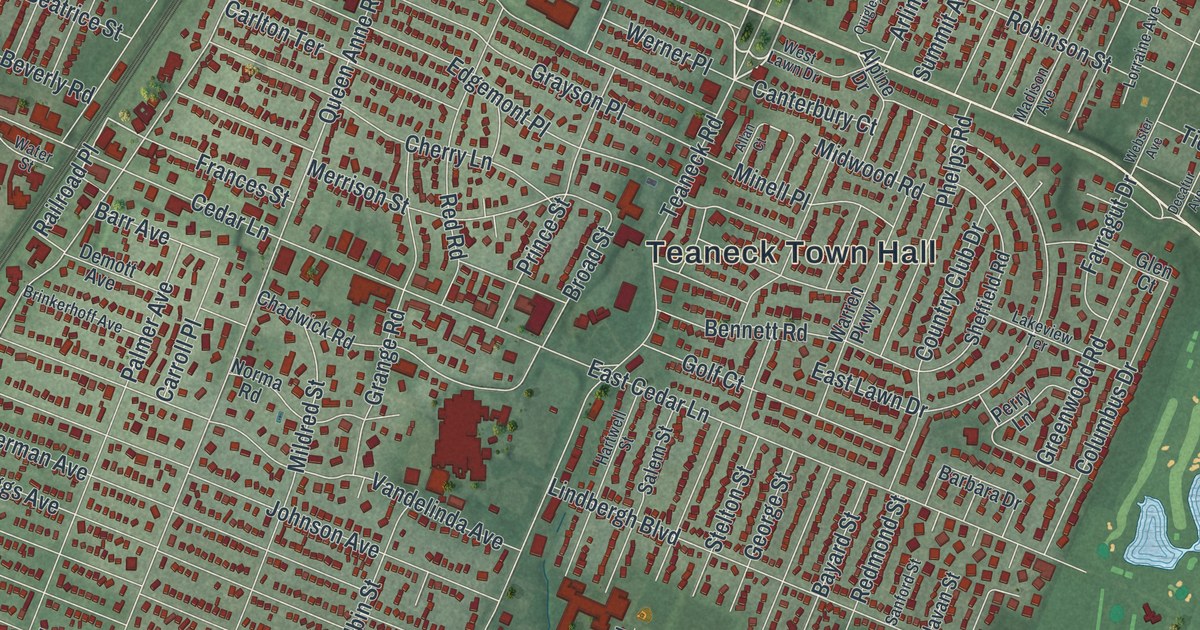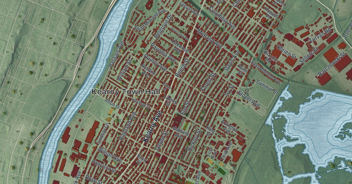
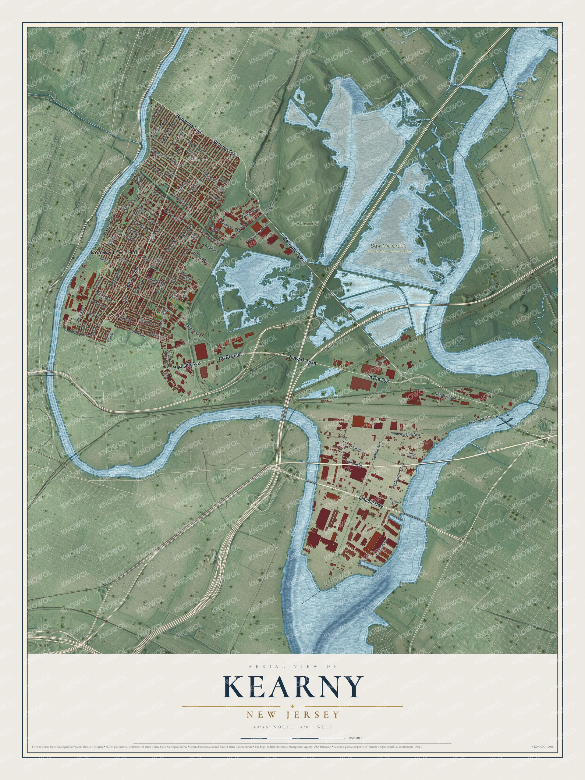
This beautifully detailed map of Kearny, New Jersey was created in 2026 using aerial imagery combined with modern topographical, census, street and landmark data. It’s a one-of-a-kind view of Kearny that combines accurate data with a vintage aesthetic. The map shows every building in its true location, many of the roads carry their names, and the shaded topographic relief shows the shape of the land.
Explore an aerial view of Kearny, New Jersey
On the map you’ll find Kearny Town Hall, Arlington, 1-E Landfill, and Saw Mill Creek Wildlife Management Area, along with Lincoln Highway, Harrison Avenue, Newark Turnpike, Belleville Turnpike, Kearny Avenue, Bellville Turnpike, Passaic Avenue, Devon Street, and more. If you look closely you can even find your house accurately drawn in its correct location. Zoom in on the preview to look for yours.
Did You Know?
Soon after Captain Arent Schuyler bought land here, an odd green stone turned up that was 80 percent copper. Schuyler opened a copper mine. To pump water from the deep shaft, he brought the first steam engine in America over from England. Its engineer, Josiah Hornblower, delivered it in secret.
Take a closer look at the Kearny map
Names on this map
These names are printed on this map.
Places: Kearny Town Hall, Arlington, 1-E Landfill and Saw Mill Creek Wildlife Management Area.
Streets and roads: Lincoln Highway, Harrison Avenue, County Route 508, Newark Turnpike, Belleville Turnpike, Kearny Avenue, Bellville Turnpike, Passaic Avenue, Devon Street, Hackensack Avenue, Schuyler Avenue, Chestnut Street.
More street names, A to Z
Afton Street, Ann Street, Argyle Place, Arlington Avenue, Baler Boulevard, Barczewski Street, Beech Street, Belgrove Drive, Bennett Avenue, Bergen Avenue, Boyd Street, Camman Drive, Campus Drive, Central Avenue, Clark Avenue, Columbia Avenue, Crosspike Drive, Davis Avenue, Devon Terrace, Dukes Street, Eastern Road, East Midland Avenue, Elm Street, First Avenue, Fish House Road, Forest Street, Garfield Avenue, Grand Place, Grove Street, Gypsum Street, Halstead Street, Hickory Street, Highland Avenue, Howell Place, Hoyt Street, Ivy Street, Jacobus Avenue, Jefferson Avenue, Johnston Avenue, John Street, King Street, Laurel Avenue, Liberty Street, Linden Avenue, Lindsay Lane, Livingston Avenue, Locust Avenue, Magnolia Avenue, Maple Street, Midland Avenue, New Lawn Avenue, North Fifth Street, North Midland Avenue, Oakwood Avenue, Obrien Street, Patterson Street, Pavonia Avenue, Pennsylvania Avenue, Pine Street, Pleasant Place, Prospect Place, Quincy Avenue, Rizzolo Road, Rose Street, Rutland Avenue, Sandford Avenue, Second Street, Seeley Avenue, Sellers Street, Shepard Place, South Midland Avenue, Stern Avenue, Stewart Avenue, Stover Avenue, Stuyvesant Avenue, Tappan Street, Third Avenue, Third Street, Turvan Road, Webster Avenue, William Street, Wilson Avenue.
See it on a wall
The Kearny map as an 18 x 24 inch print in a black frame.

This beautifully detailed map of Kearny makes an attractive addition to your office, library, or den, and it can even be used to teach children the geography and history of the area. It also makes a great gift for someone who left Kearny and still calls it home. When you’re done exploring, click here to get your copy of the Kearny map.