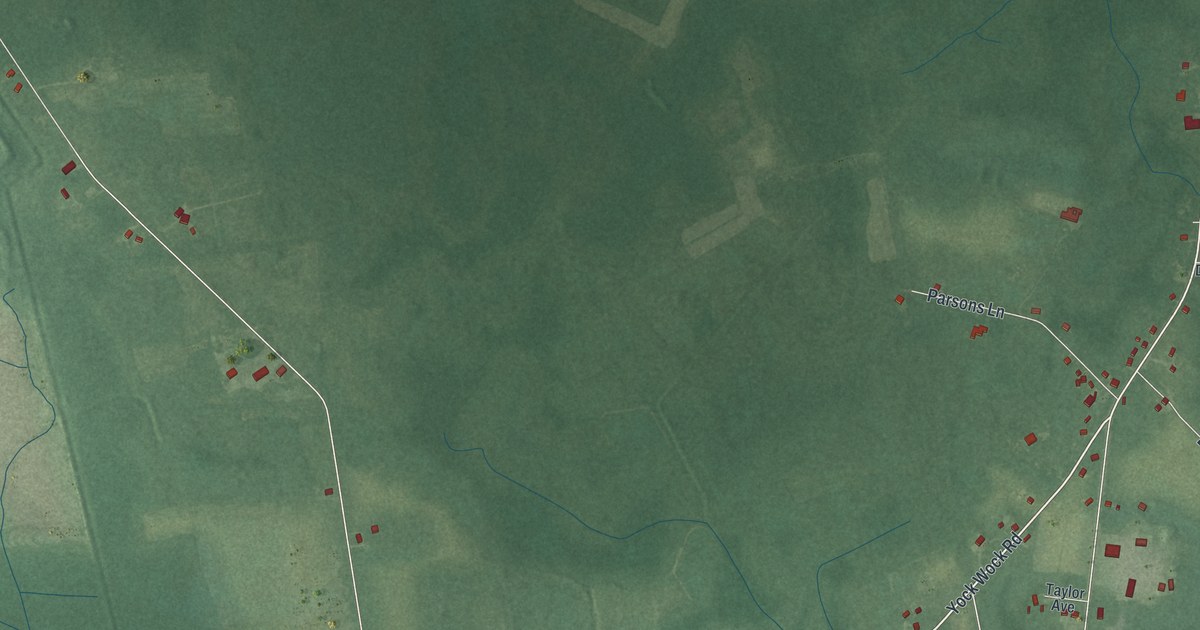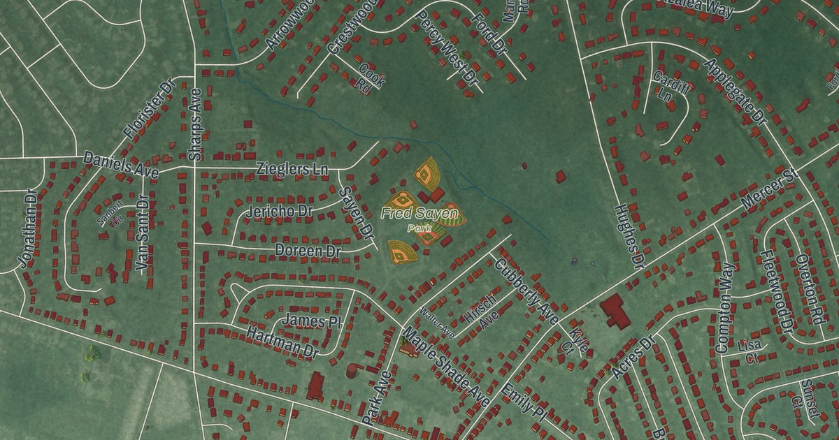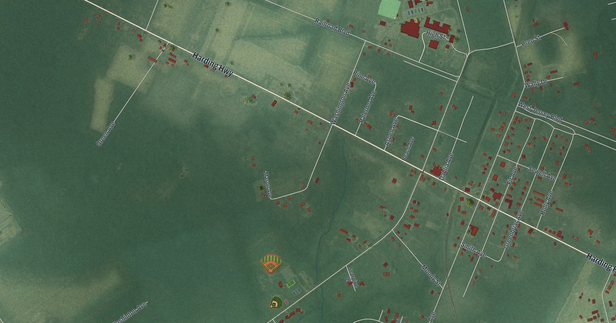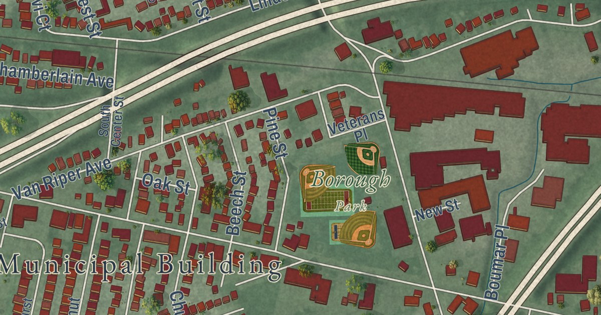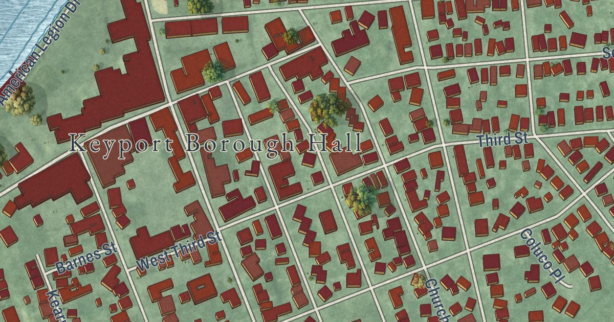
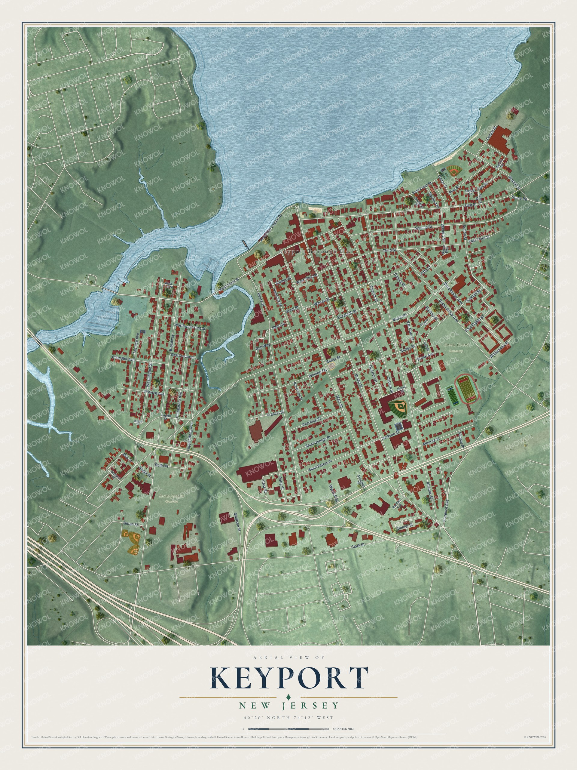
This beautifully detailed map of Keyport, New Jersey was created in 2026 using aerial imagery combined with modern topographical, census, street and landmark data. It’s a one-of-a-kind view of Keyport that combines accurate data with a vintage aesthetic. The map shows every building in its true location, many of the roads carry their names, and the shaded topographic relief shows the shape of the land.
Explore an aerial view of Keyport, New Jersey
On the map you’ll find Keyport Borough Hall, Saint Josephs Cemetery, Green Grove Cemetery, Oakshades Park, and Maple Place, along with Fulton Street, Florence Avenue, West Front Street, Washington Street, Chingarora Avenue, Broad Street, Atlantic Street, and more. If you look closely you can even find your house accurately drawn in its correct location. Zoom in on the preview to look for yours.
Did You Know?
The Great Fire of September 21, 1877, destroyed 31 buildings, including much of the business district. Firefighters had only a cistern for water and could not pump from Raritan Bay. The fire also burned the boyhood home of Garret Hobart, later Vice President of the United States.
Take a closer look at the Keyport map
Names on this map
These names are printed on this map.
Places: Keyport Borough Hall, Saint Josephs Cemetery and Green Grove Cemetery.
Streets and roads: Fulton Street, Florence Avenue, West Front Street, Washington Street, Chingarora Avenue, Broad Street, Maple Place, Atlantic Street, Main Street, Clark Street, Broadway, Beers Street.
More street names, A to Z
American Legion Drive, Arlington Street, Barnes Street, Brook Avenue, Burtina Place, Butler Street, Cass Street, Cedar Street, Center Street, Chandler Avenue, Church Street, Coluco Place, Division Street, East Eighth Street, East Front Street, East Third Street, Elizabeth Street, Fifth Street, First Street, Fourth Street, Francis Street, Geran Street, Green Grove Avenue, Gull Way, Hall Place, Haven Way, Hobart Street, Hurley Street, Jackson Street, Kearney Street, Locust Street, Luppatatong Avenue, Madison Street, Manchester Avenue, May Street, Monmouth Place, Monroe Street, Myrtle Avenue, Nappi Place, Northwest First Street, Oak Street, Octavia Place, Orchard Street, Osborn Street, Perry Street, Pershing Place, Pimper Place, Pine Street, Prospect Street, Provost Avenue, Raritan Avenue, Rollo Place, Saint George Place, Saint Peters Place, Second Street, Seventh Street, Short Street, Snyder Lane, Spring Street, Stone Road, Stout Street, Therese Avenue, Third Street, Union Street, Van Dorn Street, Walling Terrace, Walnut Street, Walnut Terrace, Warren Street, Waverly Street, West First Street, West Second Street, West Third Street, Williamson Street, Wyckoff Street.
See it on a wall
The Keyport map as an 18 x 24 inch print in a black frame.

This beautifully detailed map of Keyport makes an attractive addition to your office, library, or den, and it can even be used to teach children the geography and history of the area. It also makes a great gift for anyone with Keyport roots. When you’re done exploring, click here to get your copy of the Keyport map.