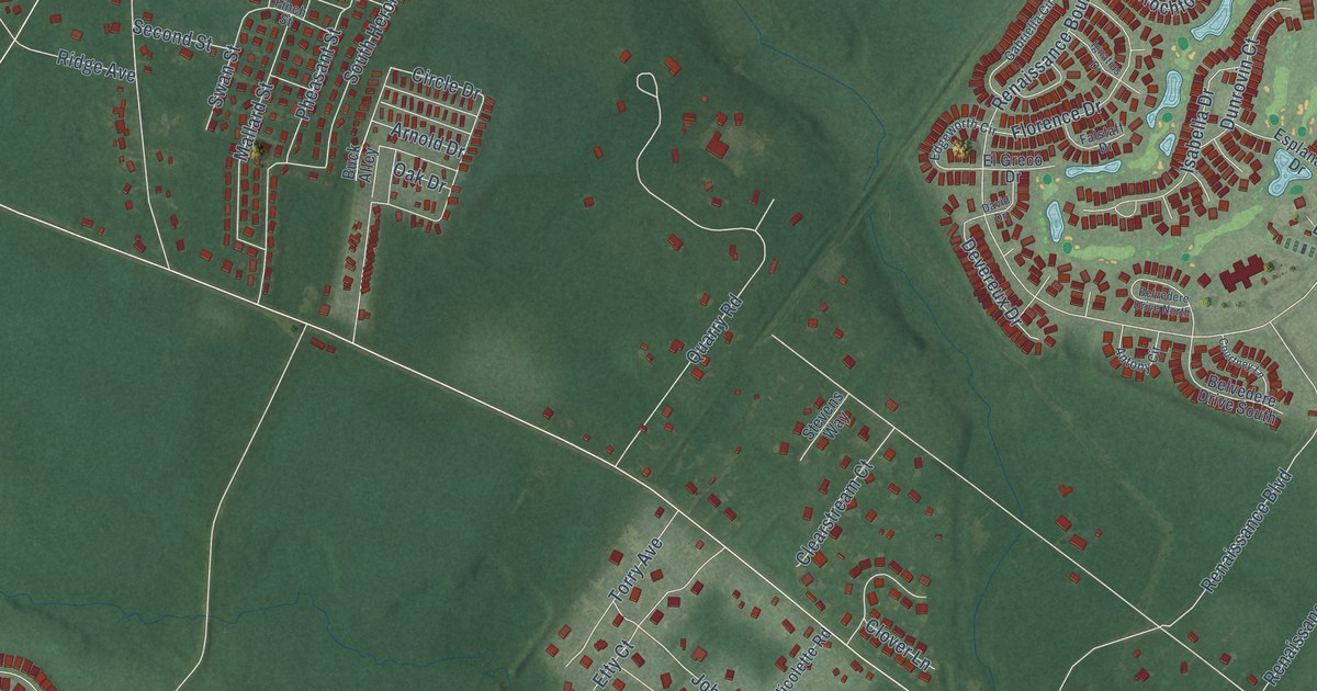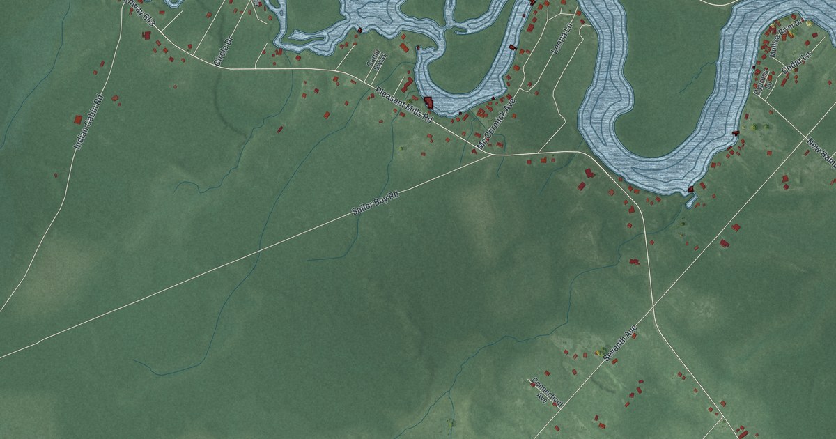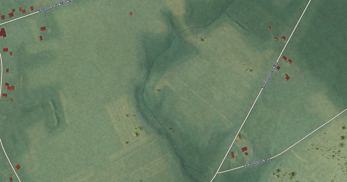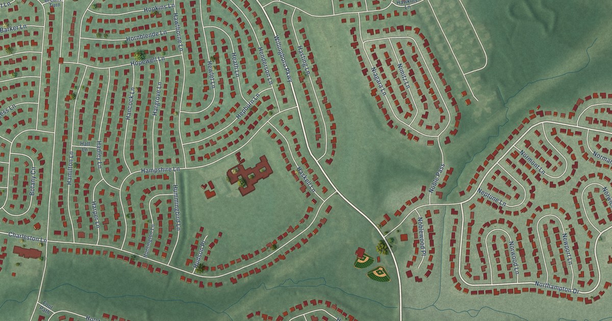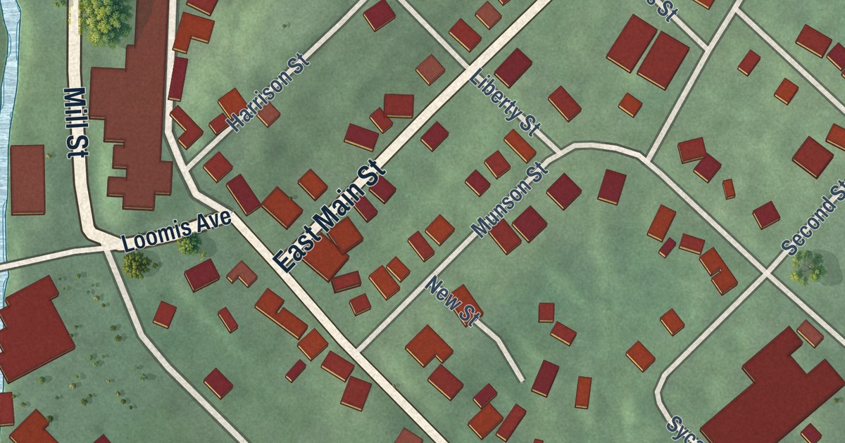
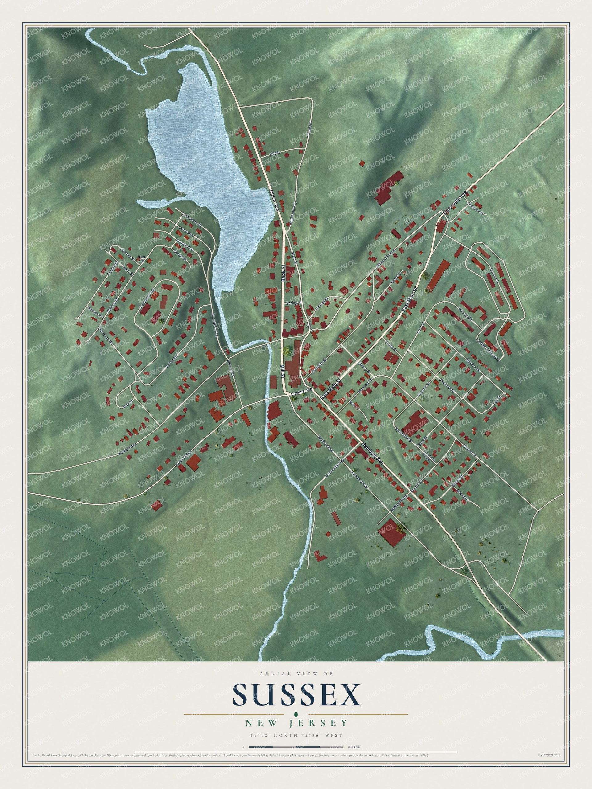
This beautifully detailed map of Sussex, New Jersey was created in 2026 using aerial imagery combined with modern topographical, census, street and landmark data. It’s a one-of-a-kind view of Sussex that combines accurate data with a vintage aesthetic. The map shows every building in its true location, many of the roads carry their names, and the shaded topographic relief shows the shape of the land.
Explore an aerial view of Sussex, New Jersey
On the map you’ll find Bank Street, Mill Street, Clove Avenue, Main Street, Hamburg Avenue, and more. If you look closely you can even find your house accurately drawn in its correct location. Zoom in on the preview to look for yours.
Did You Know?
Sussex was first called Deckertown, for Peter Decker, a Hollander who built a cabin here in 1734. Historians later argued over where that cabin stood. In the 1930s, Fred W. Lawrence found a stone carved P. D. 1749 on his land. Decker descendant Ralph Decker favored that site. In 1939 Sussex was one of the largest milk receiving stations in the state. That’s from the 1939 WPA guide to New Jersey.
Take a closer look at the Sussex map
Names on this map
These names are printed on this map.
Streets and roads: Bank Street, Mill Street, Clove Avenue, East Main Street, Hamburg Avenue, Unionville Avenue, Walling Avenue, Torel Road, Center Street, Elizabeth Avenue, Roy Court, First Street.
More street names, A to Z
Breen Drive, Brookside Avenue, Cedar Street, Center Saint Apts, Chestnut Street, Church Street, Cross Street, Division Street, Fountain Square, Fourth Street, Grant Street, Grove Street, Harrison Street, Highland Avenue, Hill Street, Holly Street, Juniper Street, Lakeshore Drive, Lakeview Terrace, Larch Avenue, Ley Place, Liberty Street, Linden Street, Loomis Avenue, Main Street, Maple Avenue, Munson Street, New Street, Newton Avenue, Overlook Drive, Pine Lane, School Road, Second Street, Spring Street, Spruce Avenue, Standard Avenue, Sussex Court, Sycamore Street, Sycamore Village, Third Street, Valley Road, Walnut Street, Wiebel Plaza, Willow Street, Wilson Road.
See it on a wall
The Sussex map as an 18 x 24 inch print in a black frame.

This beautifully detailed map of Sussex makes an attractive addition to your office, library, or den, and it can even be used to teach children the geography and history of the area. It also makes a great gift for anyone who grew up in Sussex or moved away. When you’re done exploring, click here to get your copy of the Sussex map.