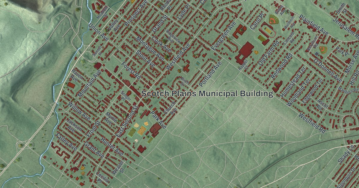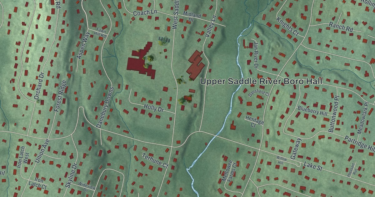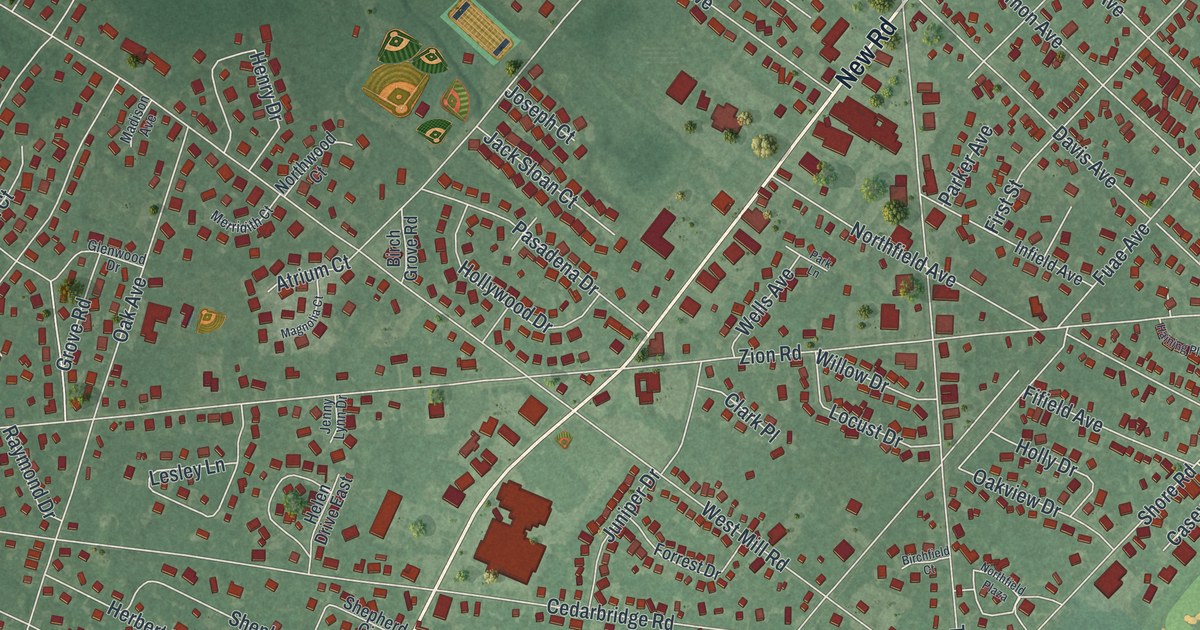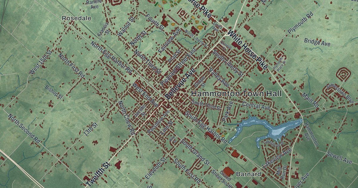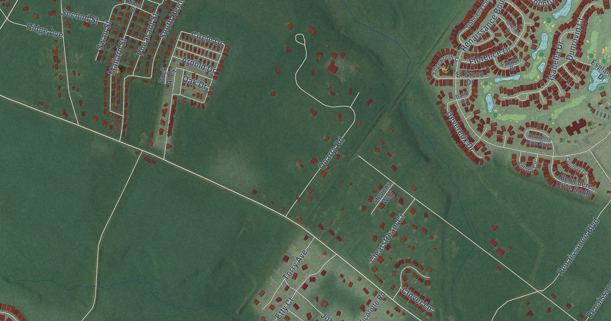
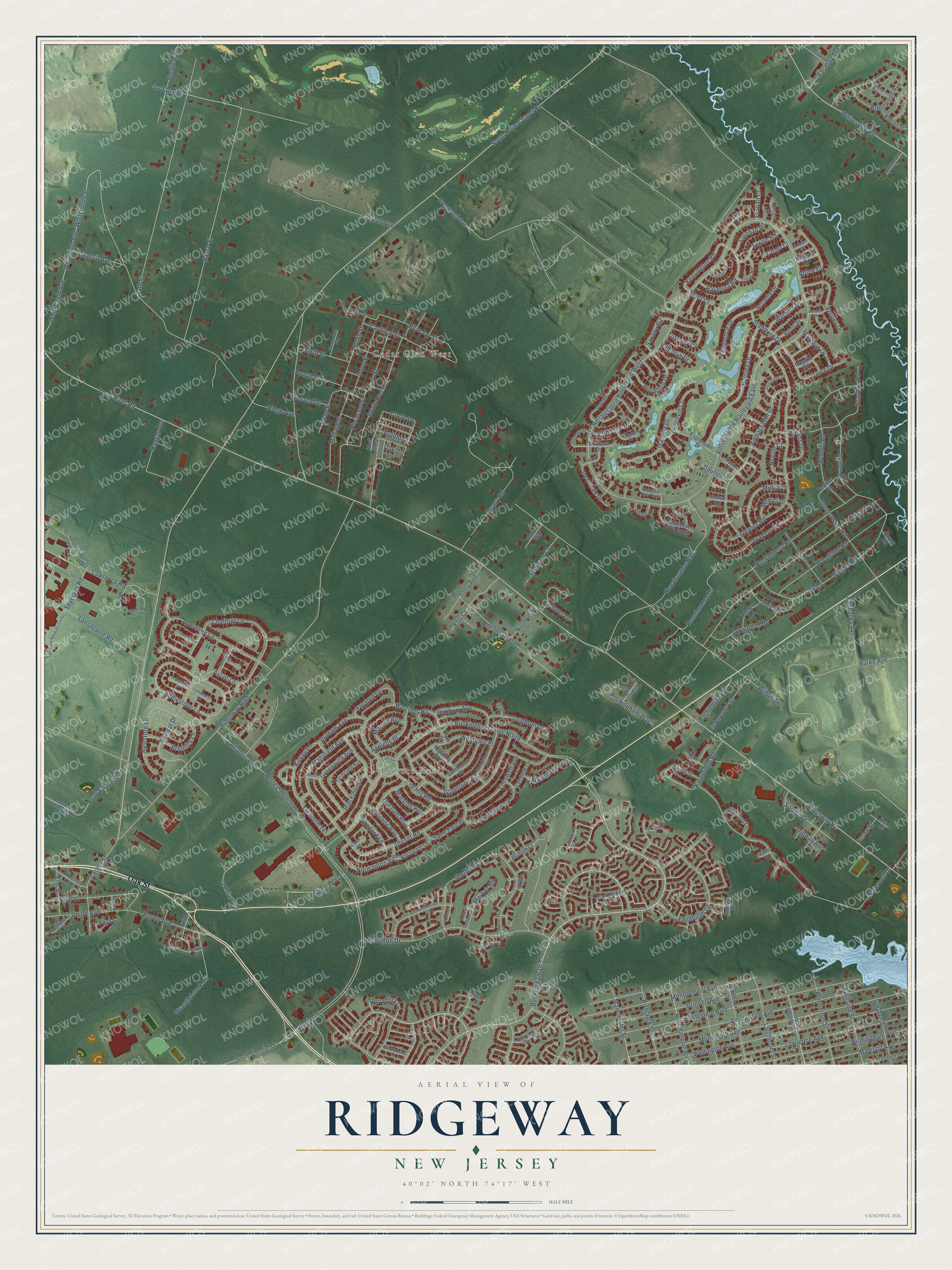
This beautifully detailed map of Ridgeway, New Jersey was created in 2026 using aerial imagery combined with modern topographical, census, street and landmark data. It’s a one-of-a-kind view of Ridgeway that combines accurate data with a vintage aesthetic. The map shows every building in its true location, many of the roads carry their names, and the shaded topographic relief shows the shape of the land.
Explore an aerial view of Ridgeway, New Jersey
On the map you’ll find Leisure Knoll and Cedar Glen West, along with Oak Street, Buckingham Drive, Thornbury Lane, Edinburgh Lane, Sheffield Drive, Huntington Drive, Railroad Avenue, Robin Street, Renaissance Boulevard, Hope Chapel Road, and more. If you look closely you can even find your house accurately drawn in its correct location. Zoom in on the preview to look for yours.
Take a closer look at the Ridgeway map
Names on this map
These names are printed on this map.
Places: Leisure Knoll and Cedar Glen West.
Streets and roads: Oak Street, Buckingham Drive, Thornbury Lane, Edinburgh Lane, Buckingham Drive North, Sheffield Drive, Huntington Drive, Railroad Avenue, Robin Street, Renaissance Boulevard, Hope Chapel Road, Florence Drive.
More street names, A to Z
Aberdeen Lane, Addlestone Lane, Aldous Street, Ambassador Drive, Amsterdam Avenue, Anjou Court, Antony Circle, Appleby Place, Arcadia Drive, Arden Drive, Arnold Drive, Ascot Lane, Atlantic Avenue, Aylesford Lane, Banbury Avenue, Basso Street, Bauch Road, Bedford Lane, Bellagio Road, Belvedere Drive North, Belvedere Drive South, Birmingham Avenue, Bismarck Street, Blackthorn Place, Blue Jay Street, Blyth Court, Bomar Court, Brandon Road, Brentwood Avenue, Bridport Place, Bromley Lane, Brown Avenue, Buck Alley, Burke Avenue, Burnside Street, Burtons Court, Buxton Lane, Byron Drive, Cambridge Circle, Canterbury Drive, Cardinal Street, Carol Court, Center Street, Chalfont Lane, Chandon Road, Chatham Court, Church Street, Circle Drive, Clayton Avenue, Clearstream Court, Clover Lane, Colonial Drive, Como Court, Courtney Lane, Cove Court, Cross Street, Dante Drive, Daulton Drive, David Drive, Delpine Road, Devereux Drive, Devonshire Lane, Devon Street, Donatello Drive, Dorset Road, Dove Street, Drayton Road, Dunrovin Court, Durham Avenue, Edgeworth Circle, Eleanor Road, El Greco Drive, Elm Street, Elmswell Avenue, Englemere Boulevard, Esher Court, Esplanade Drive, Essex Street, Etty Court, Fairbanks Avenue, Falcon Street, Falstaff Drive, Faraday Avenue, Fawnhollow Lane, Fays Lane, Ferrara Court, Finch Street, Flint Court, Flintshire Terrace, Florian Court, Forest Road, Fourth Street, Freemont Avenue, Friar Court, Gabriella Circle, Gascony Circle, Geneva Road, Gladstone Avenue, Gramercy Lane, Gramme Avenue, Green Acres Road, Greenwich Avenue, Grinnell Avenue, Halsted Drive, Hancock Road, Hangar Avenue, Harrogate Lane, Hastings Road, Hemlock Lane, Heron Street, Hibernia Avenue, Holly Hill Road, Huckleberry Road, Ignatius Drive, Inverness Lane, Isabella Drive, Jodie Road, Johnathan Road, Johnson Avenue, Jordan Avenue, Keller Road, Kensington Road, Kent Lane, Kent Road, Kingsridge Road, Kirkby Lane, Knoll Circle, Lakehurst Naval Air Center, Lakehurst Whitesville Road, Lambeth Lane, Lansdowne Road, Larchmont Street, Lark Street, Lauren Lane, Lawrence Avenue, Lawrence Road, Leighton Lane, Liverpool Circle, Locust Street, Loire Court, Lorenzo Road, Luther Drive, Lyndhurst Lane, Madison Avenue, Maidstone Way, Mallard Street, Malvern Court, Manchester Avenue, Manchester Street, Mansfield Avenue, Margaux Drive, Marlow Avenue, Marston Row, Mayfair Road, Medici Drive, Middlesex Street, Midway Avenue, Milton Drive, Moet Court, Monmouth Avenue, Montgomery Avenue, Montrose Lane, Murano Road, Neville Court, Newbury Row, Nicolette Road, Normanton Avenue, North Colonial Drive, North Hampton Boulevard, Oak Dale Street, Oak Drive, Oakham Row, Oak Lane, Orleans Drive, Pemberton Street, Pheasant Street, Pine Street, Plante Avenue, Provence Drive, Pulham Court, Quarry Road, Ravello Road, Ravenna Road, Red Hill Road, Renaissance Boulevard East, Renaissance Boulevard West, Renaissance Drive, Retreat Drive, Richmond Avenue, Ridge Avenue, Ridgeway Boulevard, Ridgeway Road, Riverside Avenue, Rochford Drive, Rockingham Way, Romford Lane, Rossini Road, Saint Paul Place, Sandhurst Street, Saxony Circle, Second Street, Severyns Road, Sheffield Street, Shenandoah Avenue, Sixth Street, South Colonial Drive, South Hampton Boulevard, South Heron Street, South Hope Chapel Road, Spruce Drive, Stanfford Drive, Steiner Road, Sterling Street, Stevens Way, Swan Street, Tarworth Terrace, Third Street, Tobias Avenue, Toms River Road, Torino Road, Torry Avenue, Transit Avenue, Trevi Road, Turnbridge Row, Tuscany Circle, Twelfth Avenue, Twyford Lane, Union Avenue, Valencia Drive, Vath Street, Verona Drive, Warwick Court, Washington Avenue, Waterford Drive, Weldon Road, Wellington Avenue, Westgate Place, West Lake Drive, Whitcomb Avenue, Whitecomb Avenue, Whitecomb Street, Whitesville Road, Wilbur Avenue, Woodland Road, Woodstock Lane, Wooton Court, Wranglebrook Road, Wycliffe Drive, Wycombe Way, Xavier Court, Yorkshire Court.
See it on a wall
The Ridgeway map as a framed print. Swipe for more.


This beautifully detailed map of Ridgeway makes an attractive addition to your office, library, or den, and it can even be used to teach children the geography and history of the area. It also makes a great gift for someone who left Ridgeway and still calls it home. When you’re done exploring, click here to get your copy of the Ridgeway map.