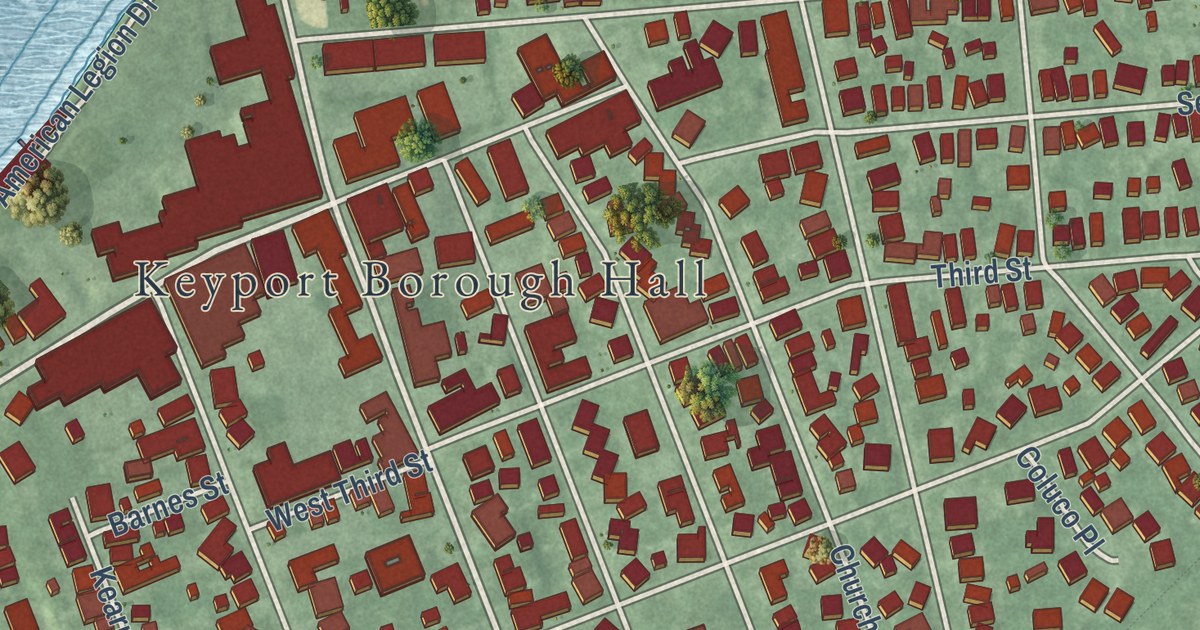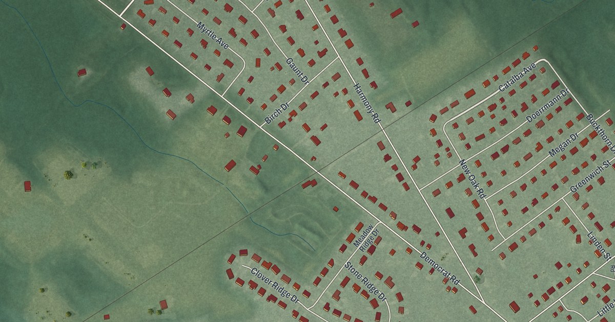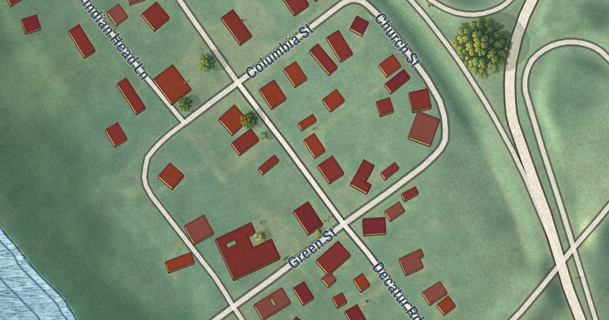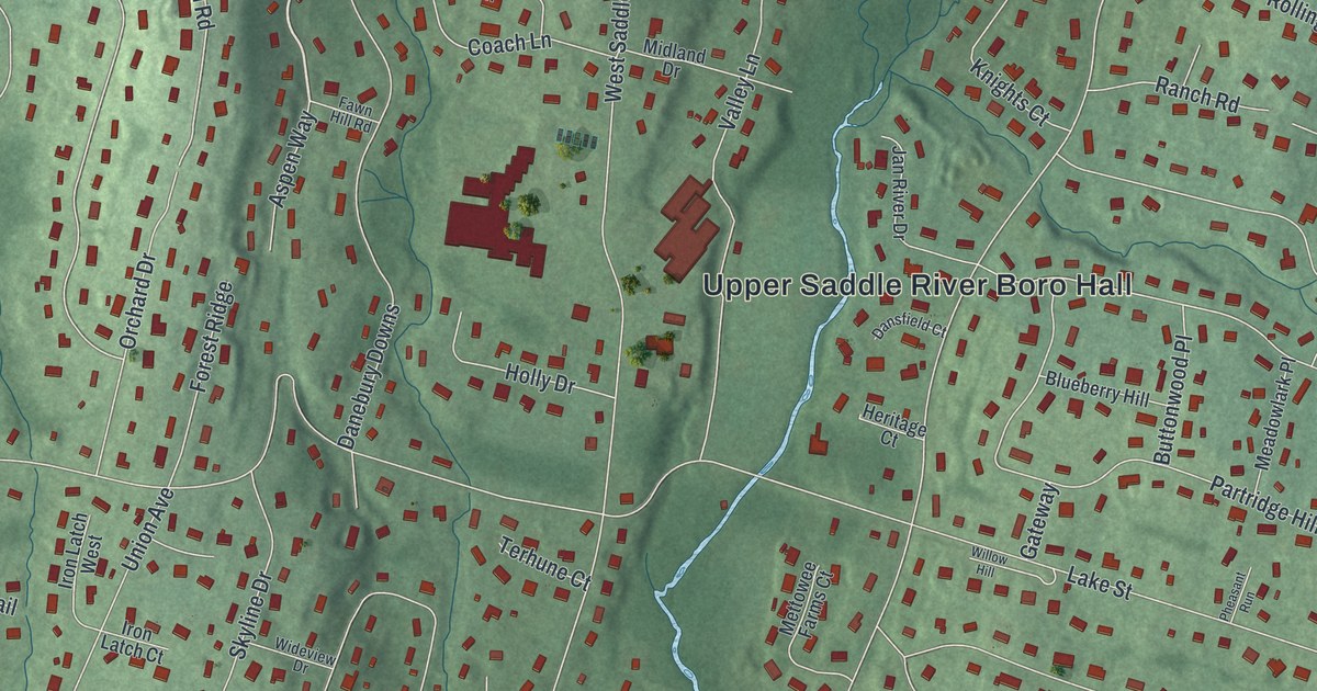
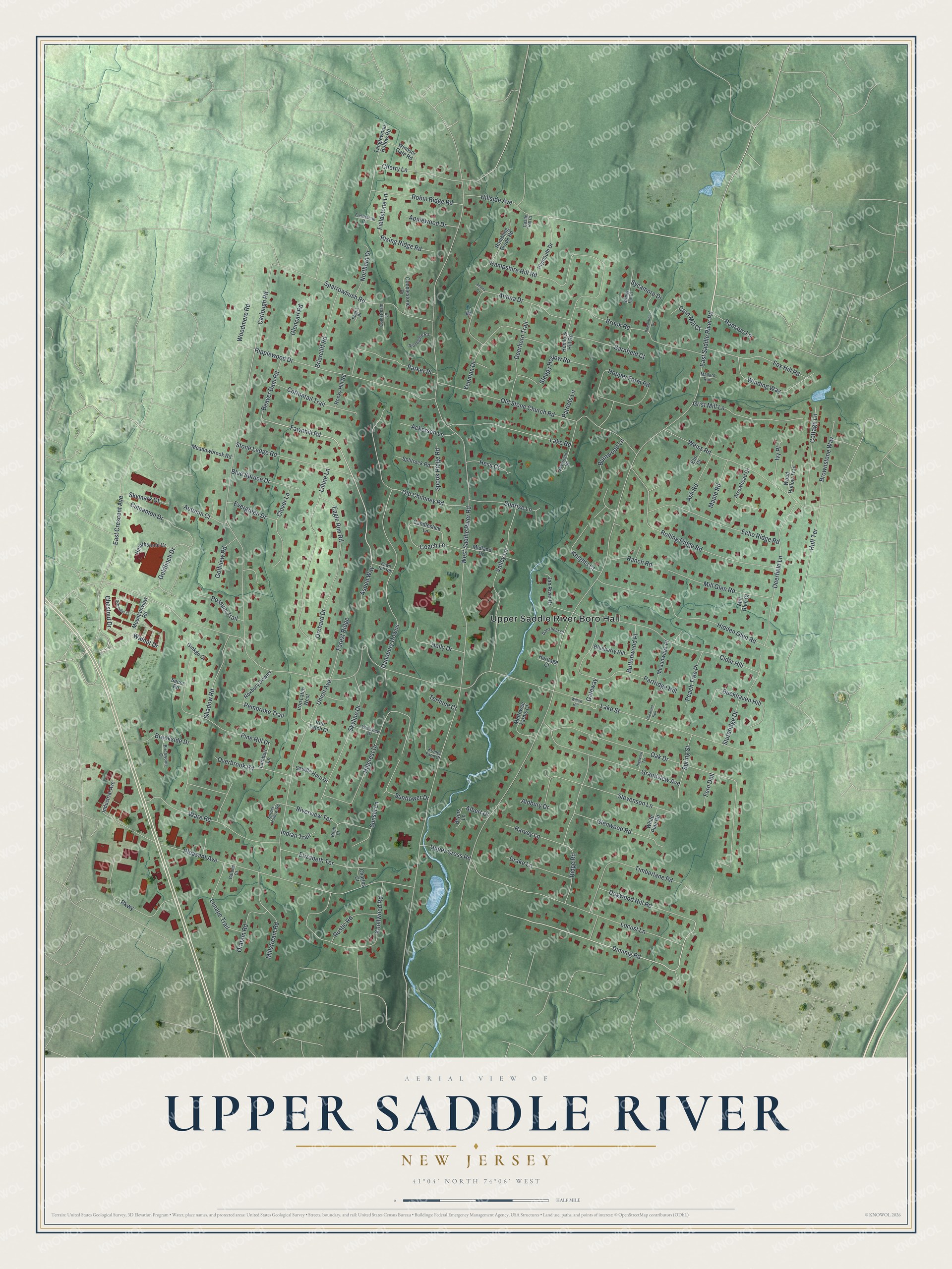
This beautifully detailed map of Upper Saddle River, New Jersey was created in 2026 using aerial imagery combined with modern topographical, census, street and landmark data. It’s a one-of-a-kind view of Upper Saddle River that combines accurate data with a vintage aesthetic. The map shows every building in its true location, many of the roads carry their names, and the shaded topographic relief shows the shape of the land.
Explore an aerial view of Upper Saddle River, New Jersey
On the map you’ll find Upper Saddle River Boro Hall, along with Dimmig Road, Fawnhill Road, Saddle River Road, Lake Street, and more. If you look closely you can even find your house accurately drawn in its correct location. Zoom in on the preview to look for yours.
Did You Know?
In the 1700s, Dutch settlers built mills along the river here. The borough was formed on November 22, 1894, during a craze called Boroughitis. Bergen County formed 26 boroughs that year alone. The area stayed rural until the 1950s. Then its population grew tenfold between 1950 and 1970.
Take a closer look at the Upper Saddle River map
Names on this map
These names are printed on this map.
Places: Upper Saddle River Boro Hall.
Streets and roads: Dimmig Road, Fawnhill Road, West Saddle River Road, Lake Street, East Saddle River Road, Carlough Road, Pleasant Avenue, Oak Drive, East Crescent Avenue, Old Stone Church Road, Hampshire Hill Road, Union Avenue.
More street names, A to Z
Ackerson Lane, Albert Drive, Aldbury Drive, Anona Court, Anona Drive, Applewood Drive, Arrowhead Drive, Ash Road, Aspen Way, Autumn Court, Barnfield Court, Beaver Dam Road, Birch Court, Birchwood Court, Blueberry Hill, Blue Spruce Drive, Briarcliff Road, Brook Road, Brookside Drive, Brownstone Way, Bryers Lane, Buckhaven Hill, Burnwood Lane, Buttonwood Place, Candlestick Lane, Castle Hill Court, Charles Court, Cherry Lane, Chestnut Drive, Cider Hill, Cinnamon Drive, Clover Lane, Coach Lane, Cobblestone Drive, Coldstream Lane, Corn Mill Court, Cottage Lane, Cottontail Trail, Danebury Downs, Dansfield Court, Deerfield Lane, Deerhorn Trail, Dogwood Hill Road, Drake Lane, Eagle Rim Road, Echo Ridge Road, Elizabeth Terrace, Elm Court, Evergreen Drive, Fawn Hill Road, Fern Dell, Fieldstone Court, Fieldstone Lane, Forest Ridge, Fox Hill Road, Garden Court, Gateway, Ginkgo Court, Glencarl Road, Glenwood Road, Goldfinch Drive, Golfview Road, Grandview Avenue, Grist Mill Lane, Harvey Lane, Hearthstone Court, Hemlock Hill Road, Heritage Court, Hess Court, Hidden Glen Road, Highview Terrace, Hillcrest Drive, Hillside Avenue, Holly Drive, Hopper Farm Road, Huff Terrace, Indian Trail, Industrial Avenue, Iron Latch Court, Iron Latch West, Ivy Place, Jan River Drive, Knights Court, Knollwood Road, Kroner Farm Court, Lake Road, Lambert Lane, Lenape Trail, Lilline Lane, Locust Lane, Mallard Run, Maple Road, Meadowbrook Road, Meadowlark Place, Mettowee Farms Court, Midland Drive, Mill Glen Court, Mill Glen Road, Millstream Road, Mountainview Road, Northern Drive, Old Chimney Road, Oratam Road, Orchard Drive, Overbrook Road, Parker Place, Parkway, Partridge Hill, Patriots Lane, Peach Tree Place, Pembroke Trail, Pharis Place, Pheasant Run, Pine Hill Drive, Plymouth Drive, Possum Trail, Ramapo Lane, Rambling Brook Road, Ranch Road, Ridge Road, Ripplewood Drive, Rising Ridge Road, Riverview Terrace, Robin Ridge Road, Rocky Hill Road, Rolling Ridge Road, Rowantree Drive, Roxbury Downs, Rustic Road, Saddle Horn Drive, Schindler Court, Secor Road, Shadow Road, Sherwood Road, Skyline Drive, Skymark Court, Sleepy Hollow Road, Sparrowbush Road, Splitrock Road, Spook Ridge Road, Spring Street, Spruce Hollow Road, Stevenson Lane, Stonegate Road, Stone Ledge Road, Sturbridge Drive, Sunflower Drive, Sunrise Lane, Sunset Lane, Sycamore Drive, Tanglewood Hollow Road, Terhune Court, Timberlane Road, Upper Cross Road, Valley Lane, Walnut Drive, Ware Road, Weiss Road, White Pine Road, Wideview Drive, Willow Hill, Winding Way, Windsor Gate Road, Windy Hill Court, Wood Hollow Trail, Woodmere Road, Yeoman Drive.
See it on a wall
The Upper Saddle River map as an 18 x 24 inch print in a black frame.

This beautifully detailed map of Upper Saddle River makes an attractive addition to your office, library, or den, and it can even be used to teach children the geography and history of the area. It also makes a great gift for someone who left Upper Saddle River and still calls it home. When you’re done exploring, click here to get your copy of the Upper Saddle River map.