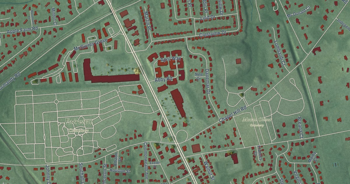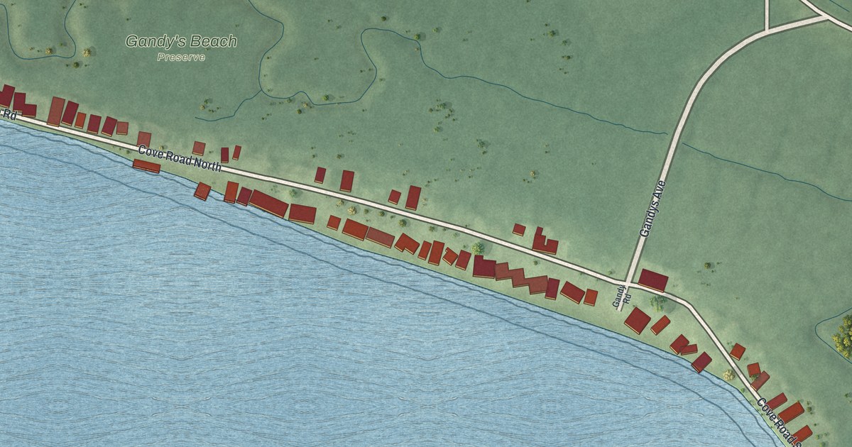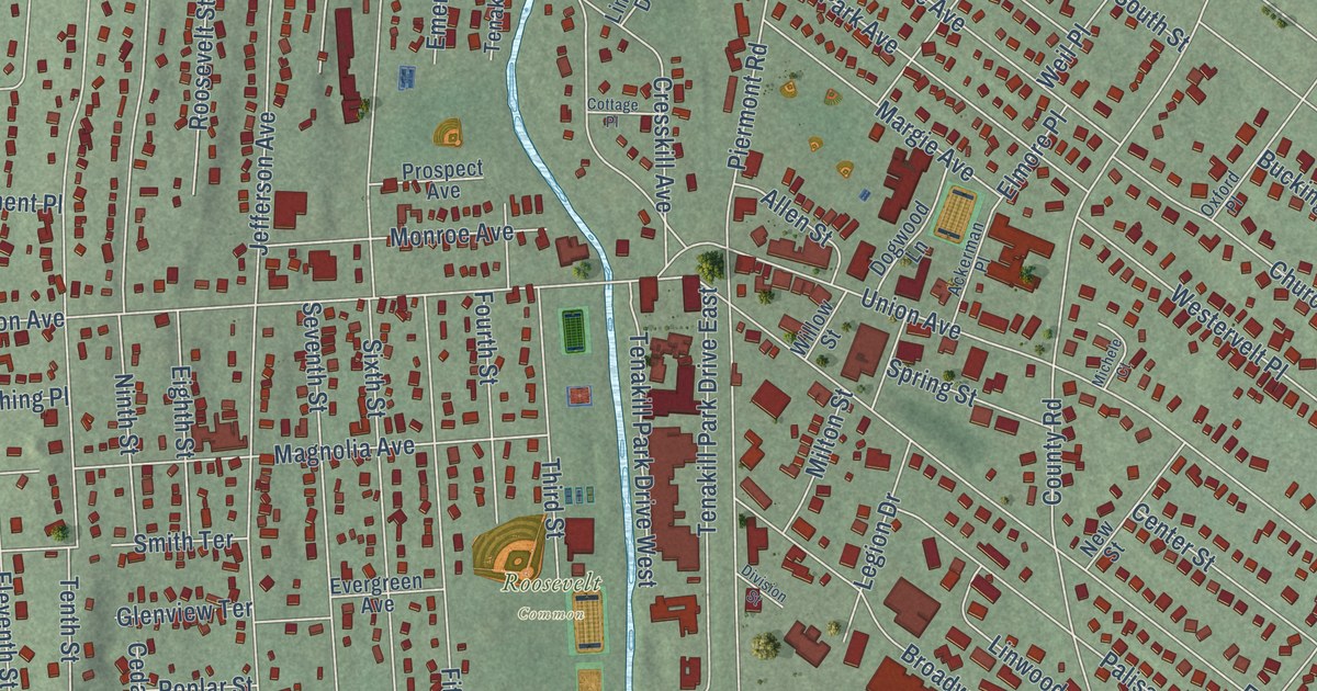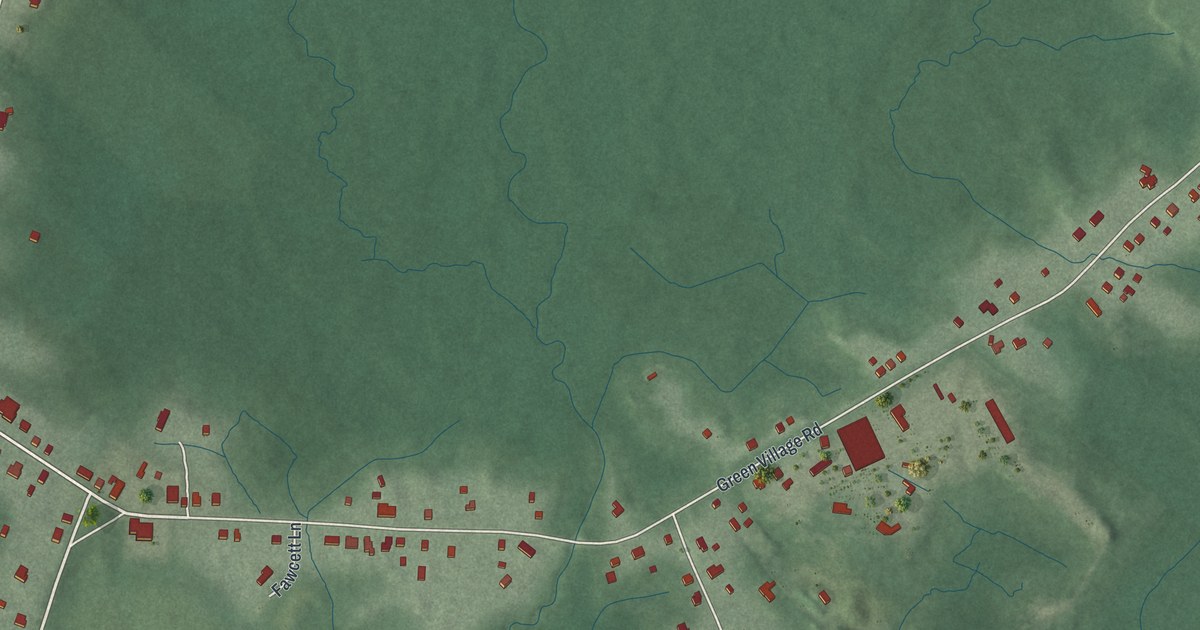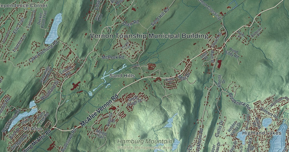
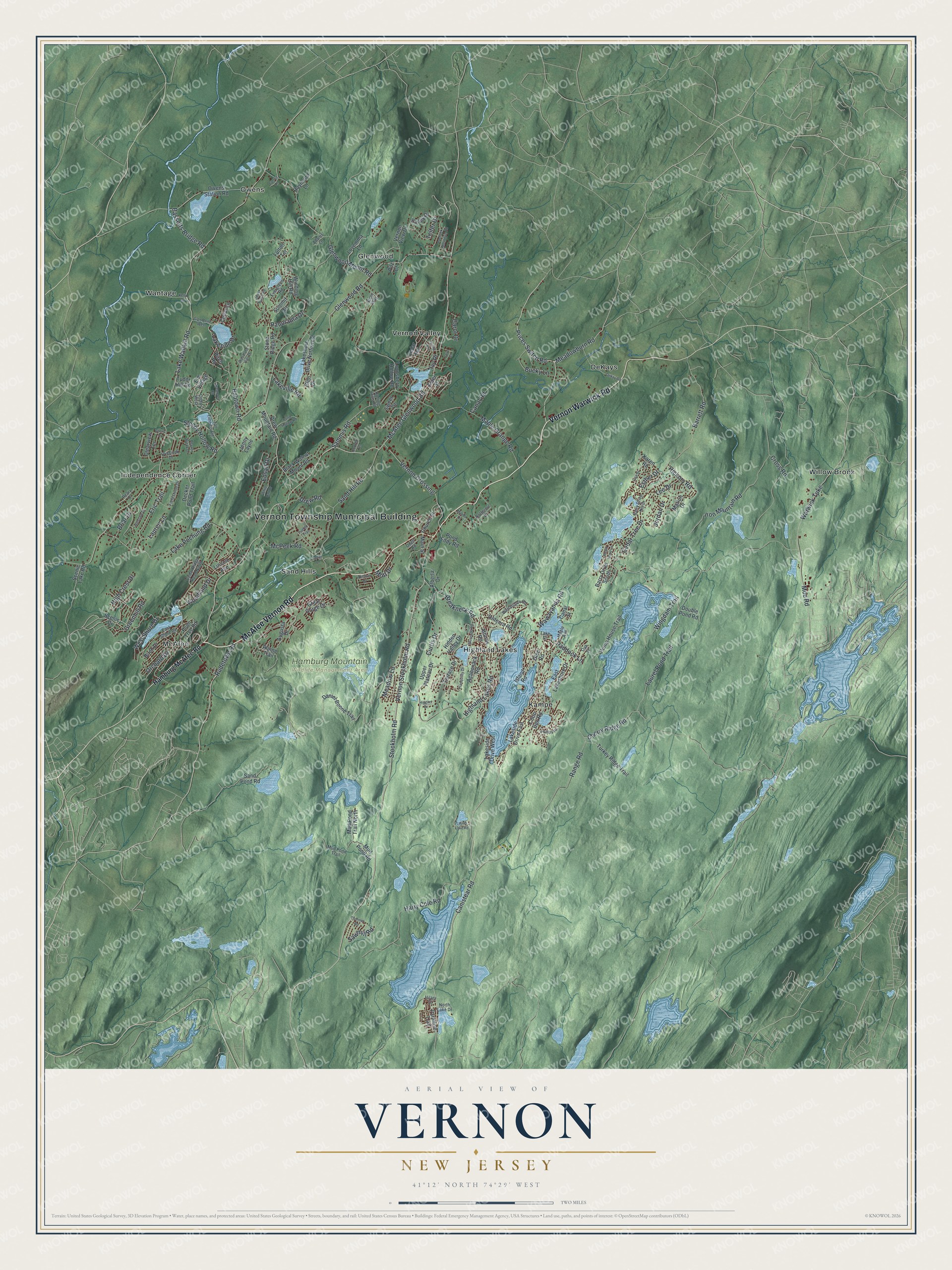
This beautifully detailed map of Vernon, New Jersey was created in 2026 using aerial imagery combined with modern topographical, census, street and landmark data. It’s a one-of-a-kind view of Vernon that combines accurate data with a vintage aesthetic. The map shows every building in its true location, many of the roads carry their names, and the shaded topographic relief shows the shape of the land.
Explore an aerial view of Vernon, New Jersey
On the map you’ll find Vernon Township Municipal Building, DeKays, Glenwood, Highland Lakes, Independence Corner, Kampe, and Hamburg Mountain Wildlife Management Area, along with McAfee Vernon Road, Vernon Warwick Road, Hamburg McAfee Road, McAfee Glenwood Road, and more. If you look closely you can even find your house accurately drawn in its correct location. Zoom in on the preview to look for yours.
Did You Know?
Iron mining was big business in Vernon in the middle and late 1800s. The Canistear, Williams and Pochuk mines gave rise to local shops and brought rail travel to town. Later, ski slopes opened in the 1960s, and the township has kept growing ever since.
Take a closer look at the Vernon map
Names on this map
These names are printed on this map.
Places: Vernon Township Municipal Building, Hamburg Mountain Wildlife Management Area, DeKays, Glenwood, Highland Lakes, Independence Corner, Kampe, McAfee, Owens, Sand Hills, Vernon Valley, Wantage and Willow Brook.
Streets and roads: McAfee Vernon Road, Vernon Warwick Road, McAfee Glenwood Road, Canistear Road, Stockholm Road, Prices Switch Road, Breakneck Road, Vernon Stockholm Road, Meadowburn Road, Wawayanda Road, Rudetown Road, Lakeside Drive.
More street names, A to Z
Acabonack Road, Adams Lane, Alberta Drive, Alpine Trail, Alturas Road, Apple Way, Aster Street, Augusta Drive, Babtown Road, Bailey Drive, Barrett Road, Barry Drive North, Barry Drive South, Bassetts Bridge Road, Beaver Brook Drive, Birch Drive, Birch Road, Black Walnut Mount Road, Briar Drive, Bucky Lane, Butternut Drive, Canal Road, Canal Street, Carol Drive, Cedar Lane, Cedar Ridge Road North, Cedar Terrace, Cedar Tree Drive, Cedar West, Cherry Ridge Road, Church Street, Clearview Terrace, Coon Den Road, Cove Court, Cross Road, Currey Lane, Curtis Drive, Daniel Boone Trail, Decker Pond Trail, Dekay Road, Dorfred Terrace, Double Pond Road, Drew Mountain Road, Drew Road, East Lakeshore Drive, East Shore Drive, Edsall Drive, Elm Village, Eric Trail, Esther Drive, Evergreen Road, Fieldstone Drive, Fulton Terrace, Glen Drive, Glen Road, Glen Road West, Glenwood Mount Road, Glenwood Road, Great Gorge Drive, Greenhill Road, Grove Drive, Hamburg McAfee Road, Harry Cole Road, Hickory Road, Hidden Valley Drive, Higgins Drive, High Crest Drive, Highland Lakes Road, Hilary Court, Hillsdale Drive, Iron Mountain Road, Island Road, Ivy Place, Jenny Layne, Jordan Drive, Karen Road, Kelly Road, Lake Pochung Road, Lakeshore Drive Northwest, Lakeside Drive East, Lakeside Drive West, Lake Street, Lakeville Road, Lake Wallkill Road, Laurel Lake Road, Laurel Pond Trail, Lauren Lane, Lazier Lane, Lee Drive, Lincoln Avenue, Lisa Drive, Lounsberry Hollow Road, Lovemma Lane, Main Street, Malibu Drive, Maple Avenue, Maple Grange Road, Marion Drive, McPeek Road, Meadow Lane, Moe Road, Mott Drive, Mud Pond Road, Mud Pond Trail, Mud Pond Trail North, Muscoda Road, Nimbus Drive, North Lake Drive, Oak Street, Odell Road, Onteora Road, Orchard Drive, Overlook Drive, Owens Station Road, Paddock Lane, Panorama Drive, Paradise Trail, Peary Drive, Phillips Road, Pilz Court, Plum Tree Road, Pochuck Mountain Road, Pond Eddy Road, Pond Hollow Road, Pueblo Trail, Pump House Trail, Range Road, Raymond Lane, Robin Hood Lane, Rolling Hills Road, Sammis Road, Sand Hill Road, Sand Pond Road, Sawmill Road, Scenic Drive, Scenic Lake Road, Sleepy Hollow Road, Stone Ridge Road, Summit Circle, Sweet Drive, Sycamore Circle, Tall Timbers Road, Telfer Drive, Terrace Drive, Thistle Avenue, Thornlot Road, Tranquility Drive, Tudor Hill Road, Turkey Ridge Trail, Upper Notch Road, Upper Plateau Drive, Vernon Crossing, Vernon View Drive, Warwick Turnpike, Wenatchee Road, West Shore Drive, White Oak Drive, Winding Hill Road, Wingdam Trail, Woodland Drive, Woodland Hills Drive.
See it on a wall
The Vernon map as an 18 x 24 inch print in a black frame.

This beautifully detailed map of Vernon makes an attractive addition to your office, library, or den, and it can even be used to teach children the geography and history of the area. It also makes a great gift for someone who left Vernon and still calls it home. When you’re done exploring, click here to get your copy of the Vernon map.