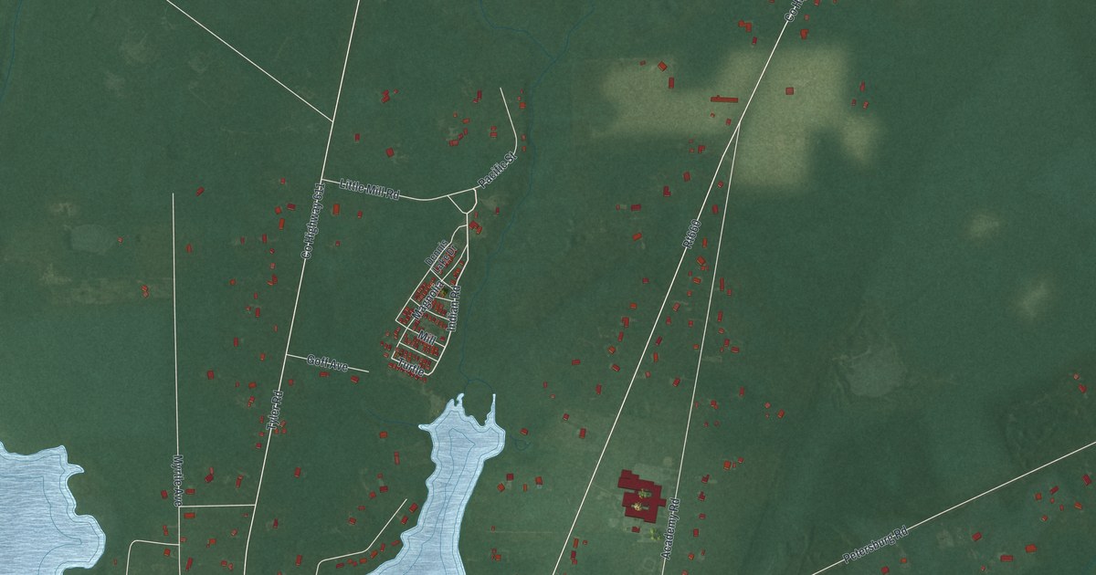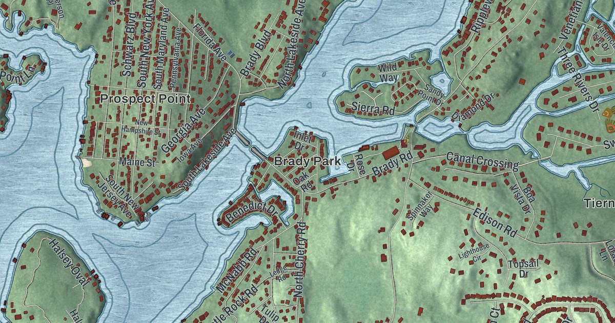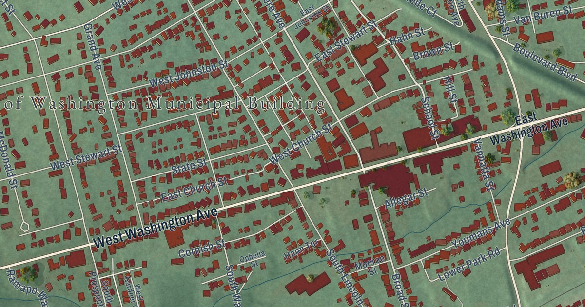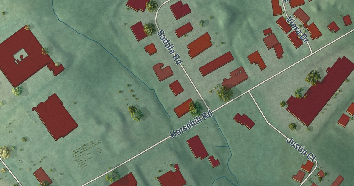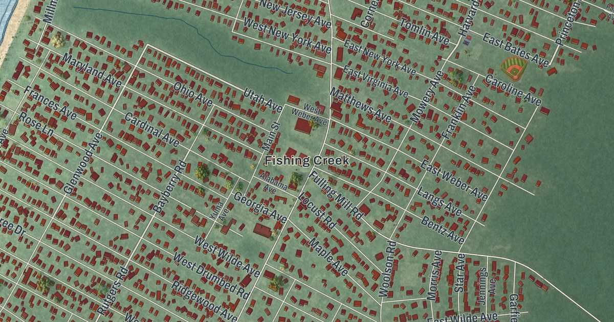
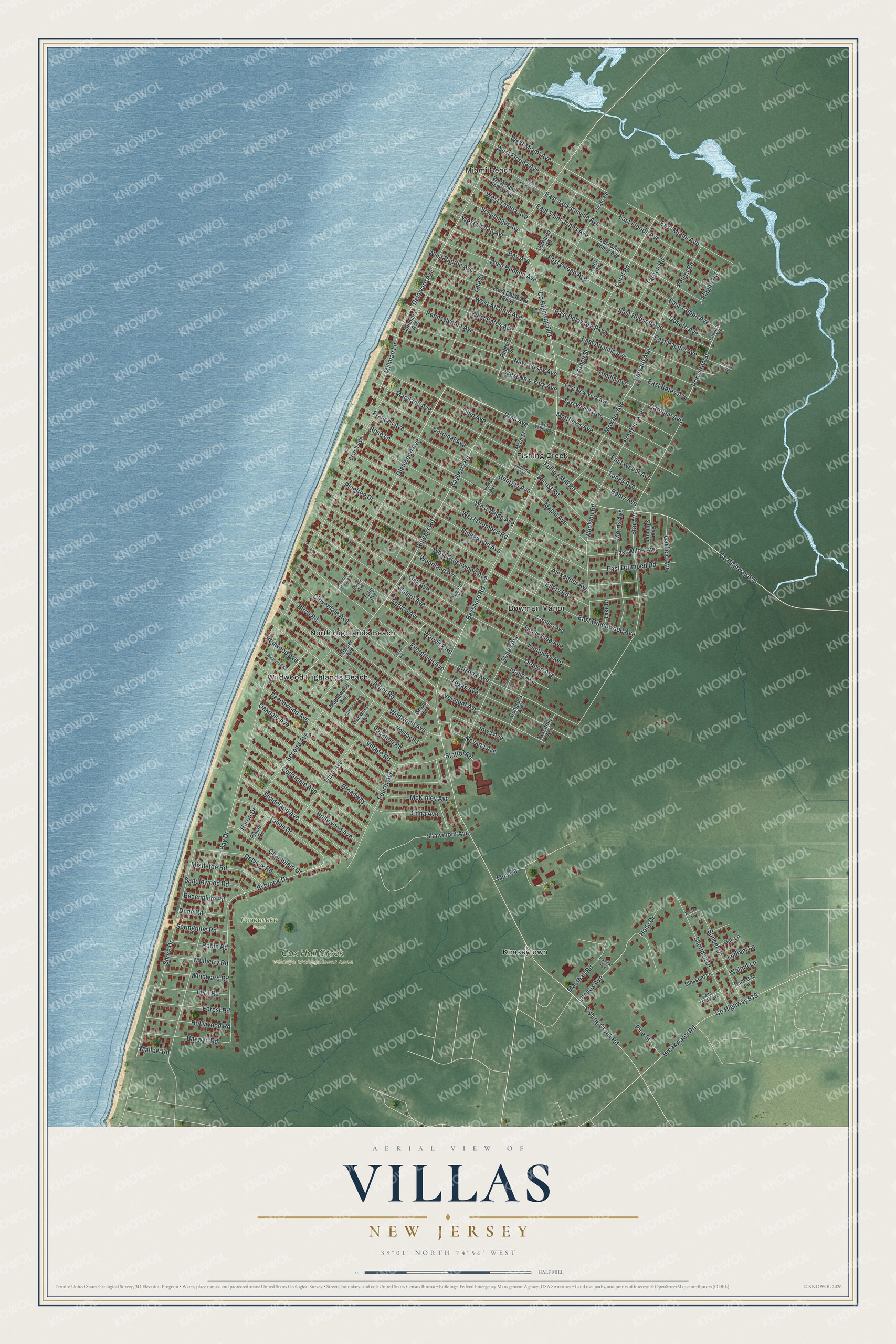
This beautifully detailed map of Villas, New Jersey was created in 2026 using aerial imagery combined with modern topographical, census, street and landmark data. It’s a one-of-a-kind view of Villas that combines accurate data with a vintage aesthetic. The map shows every building in its true location, many of the roads carry their names, and the shaded topographic relief shows the shape of the land.
Explore an aerial view of Villas, New Jersey
On the map you’ll find Miami Beach, Fishing Creek, Kimseytown, North Highlands Beach, Wildwood Highlands Beach, and Cox Hall Creek Wildlife Management Area, along with Yale Street, Rutgers Road, Peters Road, Utah Avenue, Harvard Avenue, and more. If you look closely you can even find your house accurately drawn in its correct location. Zoom in on the preview to look for yours.
Take a closer look at the Villas map
Names on this map
These names are printed on this map.
Places: Miami Beach, Cox Hall Creek Wildlife Management Area, Ponderlake Pond, Bowman Manor, Fishing Creek, Kimseytown, North Highlands Beach and Wildwood Highlands Beach.
Streets and roads: Yale Street, Rutgers Road, Peters Road, Utah Avenue, Harvard Avenue, Princeton Street, Coral Road, Bayberry Road, East Miami Avenue, Iowa Avenue, Glenwood Avenue, County Highway 603.
More street names, A to Z
Alabama Avenue, Alexander Avenue, Arbor Road, Arizona Avenue, Assembly Avenue, Barbaras Lane, Bay Avenue, Bay Drive, Bayshore Road, Baywyn Road, Beach Avenue, Beachplum Road, Beechwood Avenue, Bentz Avenue, Bermuda Road, Birch Road, Blossom Lane, Breakwater Road, Broadway, Bybrook Drive, Cardinal Avenue, Carolina Avenue, Caroline Avenue, Cedardale Avenue, Champlain Drive, Cloverdale Avenue, Columbia Avenue, Congress Avenue, Cornell Street, County Highway 613, County Highway 654, Delaware Avenue, Delview Road, Desoto Avenue, Dune Road, East Atlantic Avenue, East Bates Avenue, East Delaware Parkway, East Drumbed Road, East Florida Avenue, East Greenwood Avenue, East Hudson Avenue, East Jacksonville Avenue, East New York Avenue, East Ocean Avenue, East Pacific Avenue, East Saint Johns Avenue, East Tampa Avenue, East Virginia Avenue, East Weber Avenue, East Wilde Avenue, Edna Avenue, Ellery Road, Evergreen Avenue, Fern Road, Fishing Creek Road, Flagler Road, Forest Road, Fourth Avenue, Frances Avenue, Franklin Avenue, Fulling Mill Road, Garfield Avenue, Georgia Avenue, Golden Lane, Grove Lane, Hazelwood Avenue, Holiday Road, Holly Drive, Hollywood Avenue, Hollywood Road, Huron Drive, Idaho Avenue, Jennings Avenue, Kentucky Avenue, Lake Drive, Langs Avenue, Lennox Avenue, Locust Road, Lotus Avenue, Lucile Avenue, Ludlam Lane, Main Street, Mallow Road, Maple Avenue, Maplewood Avenue, Marshall Avenue, Marshall Road, Maryland Avenue, Matthews Avenue, McKinley Avenue, Millman Lane, Mistletoe Road, Morris Avenue, Mowery Avenue, Mua Road, Mulberry Road, Nevada Avenue, New Jersey Avenue, Oak Avenue, Oakdale Avenue, Oak Lane, Oakwood Avenue, Ohio Avenue, Oregon Avenue, Pacific Avenue, Pennsylvania Avenue, Pensacola Avenue, Pine Street, Pinetree Drive, Pirate Road, Placid Drive, Presper Avenue, Redwood Avenue, Reef Road, Ridgewood Avenue, Robin Road, Rose Lane, Rosewood Avenue, Rutgers Street, Saint Johns Avenue, Sandlewood Road, Schellinger Avenue, Second Avenue, Shadeland Avenue, Shawmont Avenue, Sheridan Drive, Shore Drive, South Ocean Avenue, Springtime Road, Spruce Avenue, Star Avenue, States Avenue, Station Road, Sunset Drive, Tahoe Drive, Tarpon Road, Tennessee Avenue, Texas Avenue, Third Avenue, Tomlin Avenue, Tulip Avenue, Union Lane, Vacation Road, Vermont Avenue, Village Road, Walnut Avenue, Walnut Lane, Warren Lane, Warwick Road, West Atlantic Avenue, West Bates Avenue, West Delaware Parkway, West Drumbed Road, West Florida Avenue, West Greenwood Avenue, West Hudson Avenue, West Jacksonville Avenue, West Miami Avenue, West New York Avenue, West Ocean Avenue, West Pacific Avenue, West Saint Johns Avenue, West Tampa Avenue, West Weber Avenue, West Wilde Avenue, Wildwood Avenue, Windward Road, Woodland Avenue, Woolson Road, Yuma Avenue.
See it on a wall
The Villas map as an 18 x 24 inch print in a black frame.

This beautifully detailed map of Villas makes an attractive addition to your office, library, or den, and it can even be used to teach children the geography and history of the area. It also makes a great gift for someone who left Villas and still calls it home. When you’re done exploring, click here to get your copy of the Villas map.