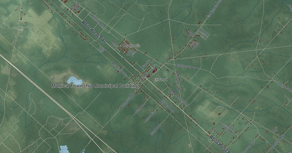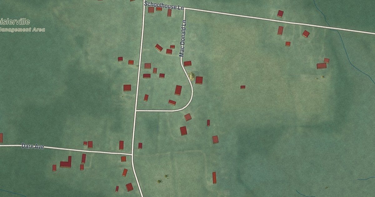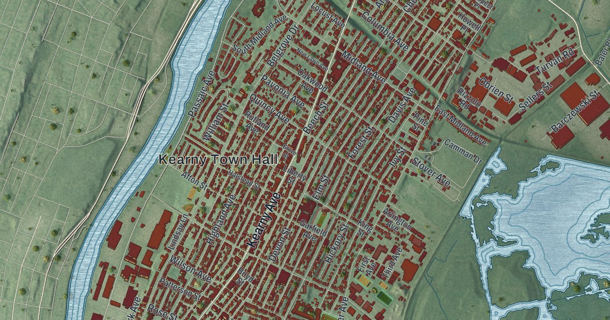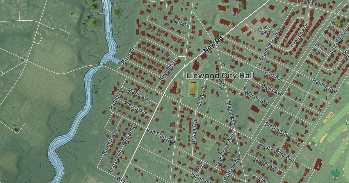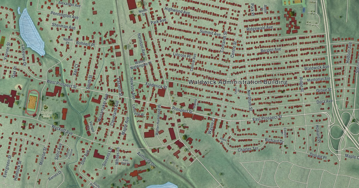
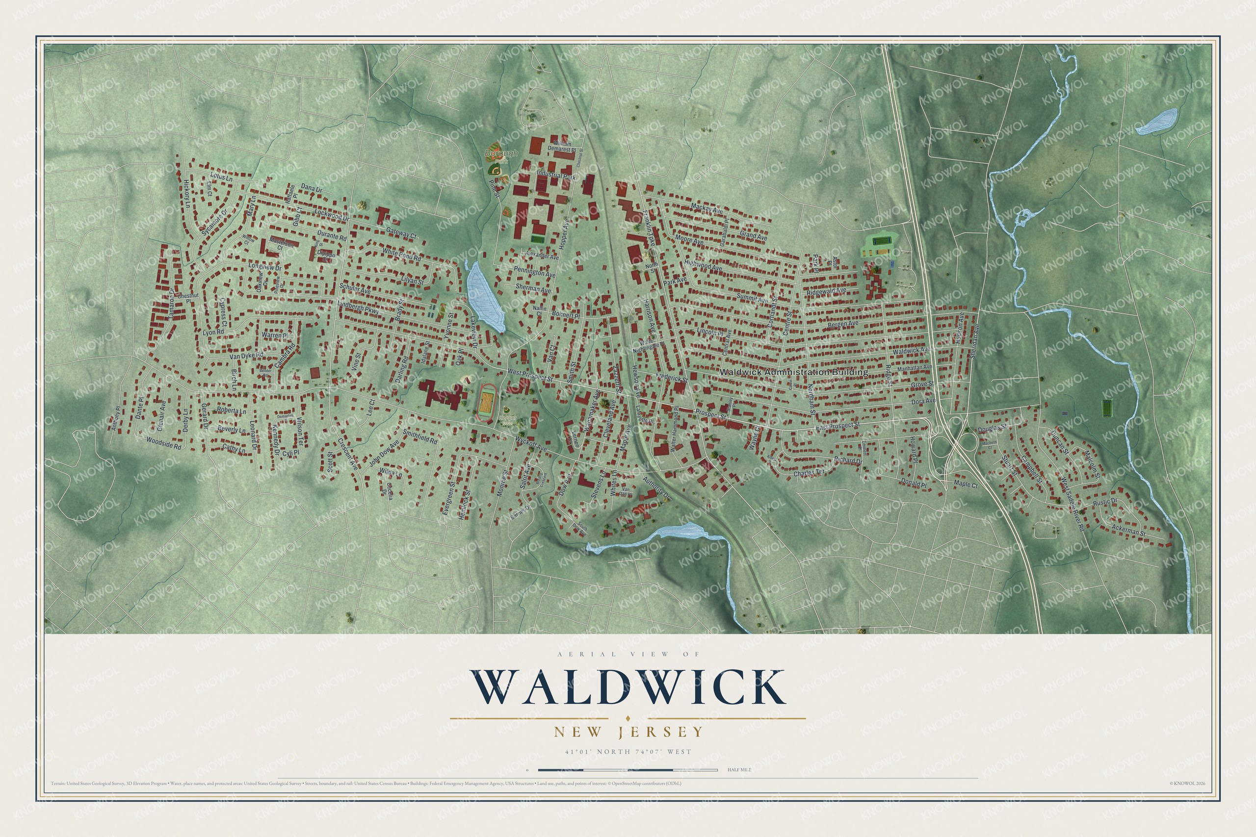
This beautifully detailed map of Waldwick, New Jersey was created in 2026 using aerial imagery combined with modern topographical, census, street and landmark data. It’s a one-of-a-kind view of Waldwick that combines accurate data with a vintage aesthetic. The map shows every building in its true location, many of the roads carry their names, and the shaded topographic relief shows the shape of the land.
Explore an aerial view of Waldwick, New Jersey
On the map you’ll find Waldwick Administration Building and Borough Park, along with Prospect Street, Sheridan Avenue, Crescent Avenue, Woodside Road, and more. If you look closely you can even find your house accurately drawn in its correct location. Zoom in on the preview to look for yours.
Did You Know?
Waldwick grew into a real town once the Erie Railroad built a station here. The station opened in 1886 and is now on the National Register of Historic Places. The railroad’s signal tower at Waldwick Yard, built in 1848, is listed as well.
Take a closer look at the Waldwick map
Names on this map
These names are printed on this map.
Places: Waldwick Administration Building, Borough Park, Hopper Field and Industrial Park.
Streets and roads: East Prospect Street, Prospect Street, Sheridan Avenue, West Prospect Street, Crescent Avenue, Woodside Road, Wyckoff Avenue, Summit Avenue, Franklin Turnpike, Bergen Avenue, Waldwick Avenue, Grove Street.
More street names, A to Z
Ackerman Street, Albert Place, Alexander Avenue, Anthony Place, Astor Place, Authority Drive, Barnes Drive, Bender Road, Beverly Lane, Birch Lane, Bohnert Place, Brady Street, Brearly Crescent, Calvin Place, Cambra Road, Campbell Street, Cathy Lane, Cecelia Drive, Central Avenue, Centre Street, Charles Terrace, Chestnut Place, Chestnut Street, Cleveland Avenue, Cortlandt Street, Cyli Place, Cypress Court, Dana Drive, Dante Place, Darling Road, Demartini Place, Derby Lane, Dipippo Court, Donald Place, Dora Avenue, Douglas Street, Dow Avenue, Duncan Street, Durante Road, Elm Court, Emmett Place, Evergreen Street, Frederick Street, Garabaldi Place, Gateway Court, Gerard Drive, Gibb Court, Glenair Avenue, Grand Avenue, Harrison Avenue, Hemlock Street, Hewson Avenue, Hickory Lane, Highwood Avenue, Hopper Avenue, Howard Place, Hudson Avenue, Idalane Street, John Dow Avenue, Kennedy Drive, King Street, Lafayette Place, Lakeview Drive, Lee Court, Leonard Drive, Lilyan Street, Lincoln Place, Lindbergh Parkway, Lockwood Drive, Longview Drive, Lotus Lane, Lyon Road, Macbeth Court, Mackay Avenue, Malcolm Street, Manhattan Avenue, Maple Avenue, Maple Court, Mary Lane, Masterson Court, Monroe Street, Moore Avenue, Nallin Court, Nordham Street, North Street, Oak Place, Oakview Drive, Park Avenue, Park Place, Pennington Avenue, Pine Street, Pineview Drive, Raffaele Place, Richard Drive, Ridge Street, Ridgewald Avenue, Roberta Lane, Rustic Drive, Salrit Avenue, Schuler Avenue, Scott Street, Sherman Avenue, Smithfield Road, Smith Street, South Dow Avenue, Stanley Place, Stevens Lane, Stuart Street, Sycamore Drive, Tamaron Drive, Van Court, Van Dan Place, Van Dyke Road, Vernon Court, Vine Street, Walter Hammond Place, Walter Nightingale Place, Wanamaker Avenue, Warren Place, Wayne Court, West Saddle River Road, White Pond Road, Whites Lane, Wilda Lane, William Demarest Place, Willow Court, Wilson Terrace, Yvonne Street, Zazzetti Street.
See it on a wall
The Waldwick map as an 18 x 24 inch print in a black frame.

This beautifully detailed map of Waldwick makes an attractive addition to your office, library, or den, and it can even be used to teach children the geography and history of the area. It also makes a great gift for anyone who grew up in Waldwick or moved away. When you’re done exploring, click here to get your copy of the Waldwick map.