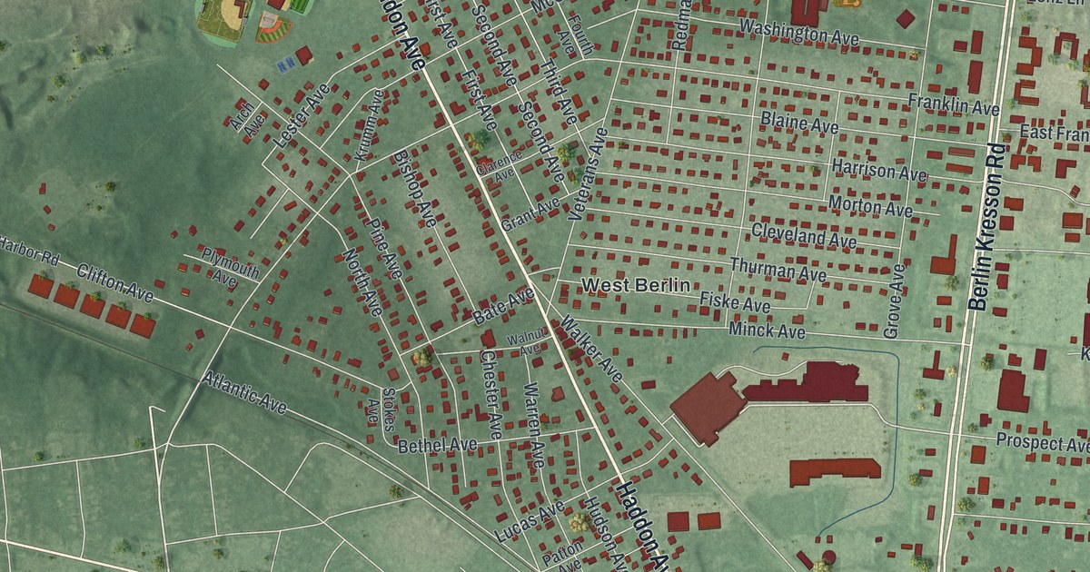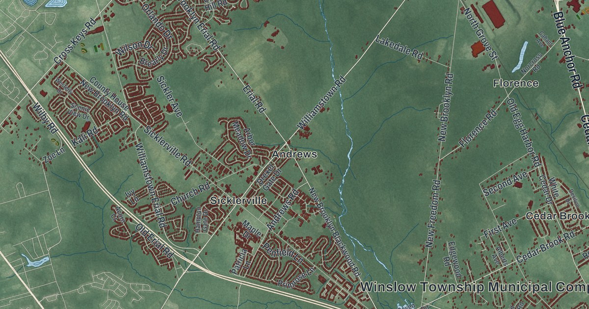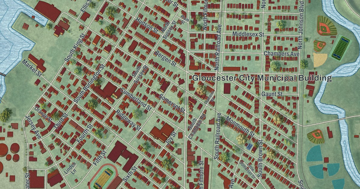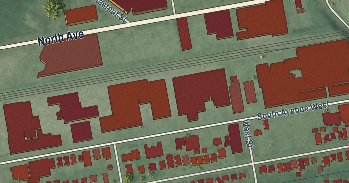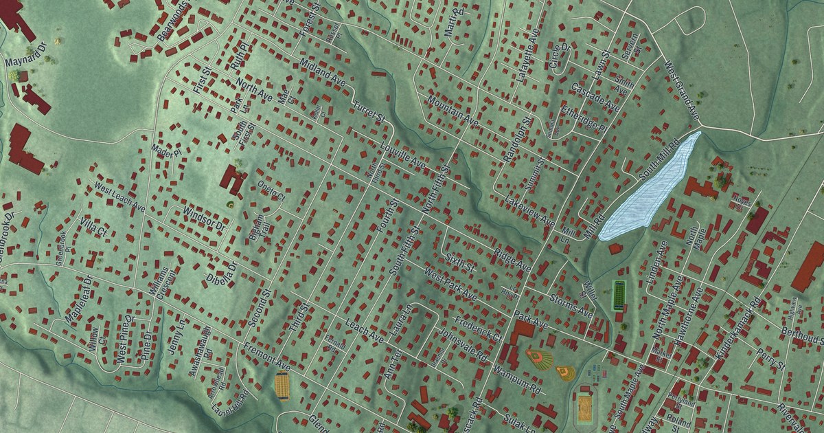
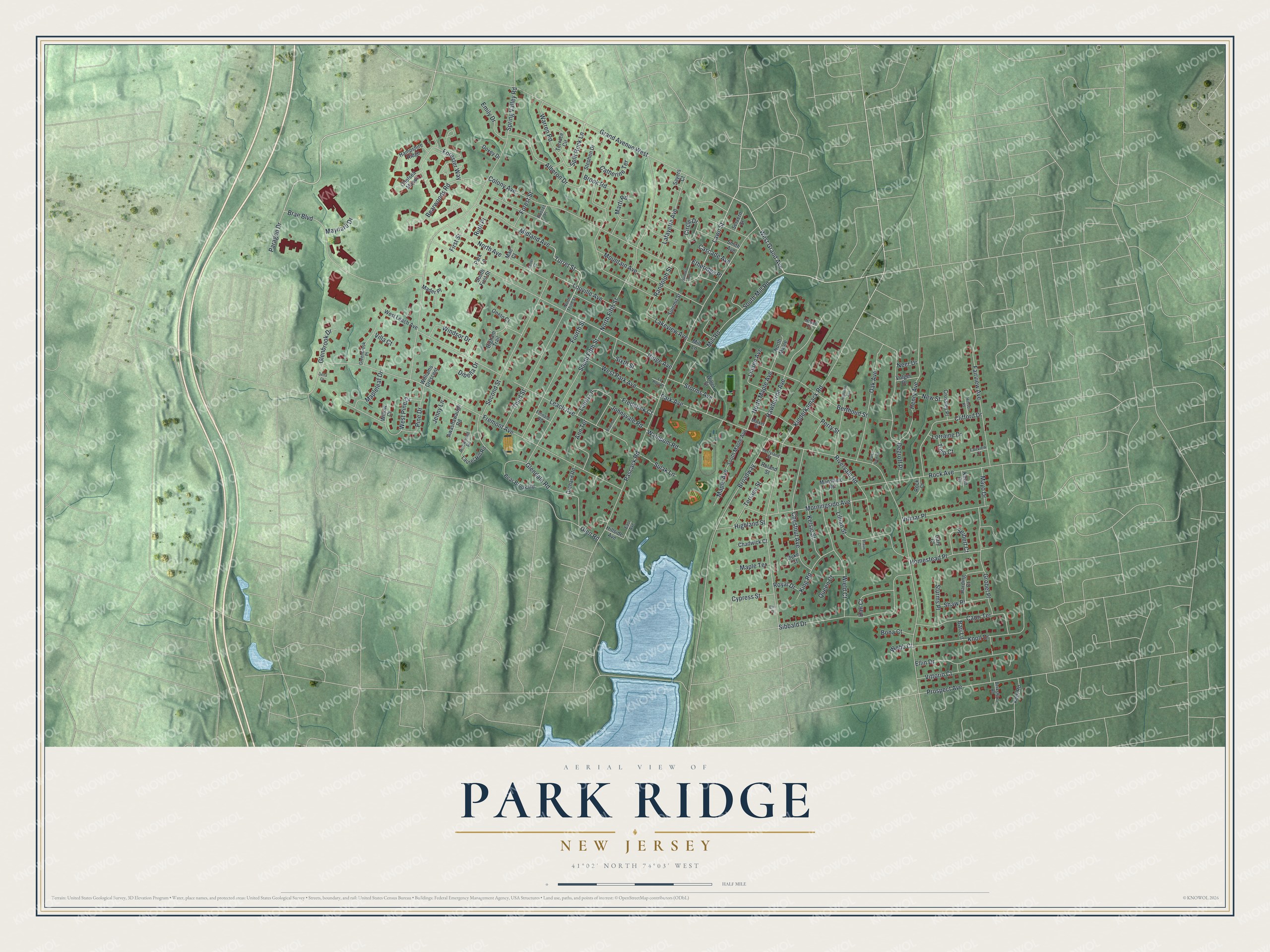
This beautifully detailed map of Park Ridge, New Jersey was created in 2026 using aerial imagery combined with modern topographical, census, street and landmark data. It’s a one-of-a-kind view of Park Ridge that combines accurate data with a vintage aesthetic. The map shows every building in its true location, many of the roads carry their names, and the shaded topographic relief shows the shape of the land.
Explore an aerial view of Park Ridge, New Jersey
On the map you’ll find Grand Avenue, Turret Street, Split Rock Lane, Lawn Street, Park Avenue, and more. If you look closely you can even find your house accurately drawn in its correct location. Zoom in on the preview to look for yours.
Did You Know?
The Pascack Historical Society Museum in Park Ridge holds the only wampum drilling machine anywhere. The Campbell Brothers built the wooden machine in town. It drilled through long hair pipe shells so they could be strung together and worn as breast plates. In the early 1800s, John Jacob Astor bought wampum from the Campbells to trade for beaver pelts.
Take a closer look at the Park Ridge map
Names on this map
These names are printed on this map.
Streets and roads: West Grand Avenue, Turret Street, Split Rock Lane, Lawn Street, Park Avenue, Spring Valley Road, Pascack Road, Kinderkamack Road, Ridge Avenue, Colony Avenue, Grand Avenue West, Fremont Avenue.
More street names, A to Z
Alberon Drive, Ann Terrace, Arrowhead Road, Awashawaugh Road, Bari Lane, Bear Brook Road, Bearwoods Road, Berkshire Road, Berthoud Street, Bigham Trail, Bona Court, Brae Boulevard, Braemar Drive, Braun Court, Broadway, Brook Road, Capri Terrace, Cascade Avenue, Catherine Terrace, Chadwick Court, Chelsea Manor, Chestnut Avenue, Circle Drive, Clifford Drive, Crossley Place, Cypress Street, Degroff Place, Dena Court, Dibella Drive, Doxey Drive, Duke Court, East Avenue, Ellin Drive, Elm Place, Emily Drive, Etheridge Place, Fairview Avenue, Fairview Court, Fernald Road, First Street, Forester Way, Forest Street, Fourth Street, Frederick Court, Gary Court, Glenbrook Drive, Glendale Road, Glen Road, Greenbrook Place, Grobel Place, Hall Court, Hampshire Ridge, Harding Court, Hawthorne Avenue, Henry Avenue, Highland Street, Highview Avenue, Hillside Avenue, Hinson Place, Homestead Place, Jenny Lane, Johnsvale Road, Keller Court, Kelsic Street, Kent Road, Kevin Court, King Road, Knoll Drive, Lafayette Avenue, Lakeview Avenue, Laura Lane, Laurel Hill Road, Leach Avenue, Le Roy Place, Lillian Street, Linden Avenue, Lorraine Drive, Louville Avenue, Mader Place, Mae Court, Mansfield Road, Maple Avenue, Mapleleaf Drive, Maple Terrace, Market Street, Marti Road, Maynard Drive, Mayo Drive, Midland Avenue, Mill Lane, Mill Road, Morningside Avenue, Mountain Avenue, Neer Drive, New Street, North Avenue, North Fifth Street, North Maple, North Maple Avenue, North Third Street, Noyes Drive, Oak Avenue, Oneto Court, Orchard Road, Paragon Drive, Park Lane, Park View Drive, Perryland Street, Perry Street, Pine Drive, Prospect Avenue, Queen Court, Randolph Street, Rivervale Road, Rock Avenue, Rock Court, Roland Street, Royal Drive, Russet Place, Ruth Place, Sayers Court, Second Street, Seibert Court, Servern Street, Shaw Place, Sibbald Drive, Sixth Street, Smith Avenue, South Fifth Street, South First Street, South Maple Avenue, South Mill Road, Stephen Drive, Storms Avenue, Sturms Place, Sulak Lane, Summit Avenue, Summit Street, Terrace Circle, Terrace Street, Third Street, Tulip Court, Villa Court, Vitmar Place, Vittorio Court, Volger Drive, Wampum Road, Warren Road, Webb Court, West Leach Avenue, West Park Avenue, West Pine Drive, Wield Court, Willet Street, Williams Crescent, Willow Court, Windsor Drive.
See it on a wall
The Park Ridge map as an 18 x 24 inch print in a black frame.

This beautifully detailed map of Park Ridge makes an attractive addition to your office, library, or den, and it can even be used to teach children the geography and history of the area. It also makes a great gift for anyone who grew up in Park Ridge or moved away. When you’re done exploring, click here to get your copy of the Park Ridge map.