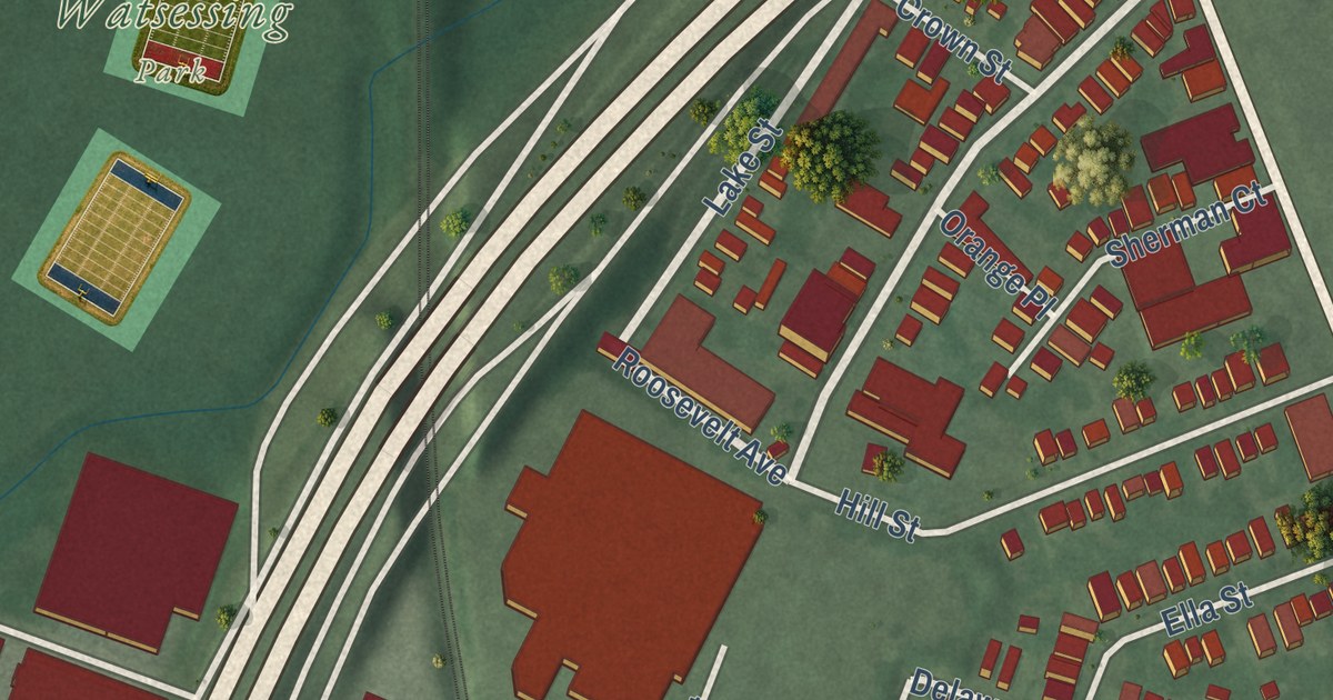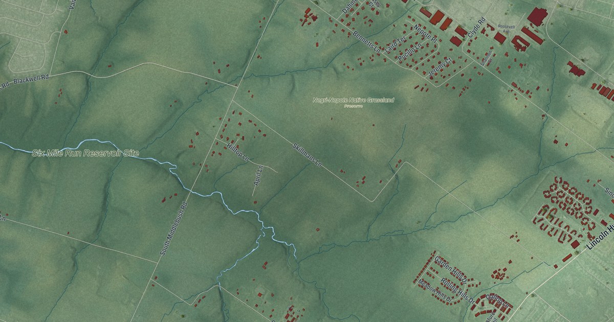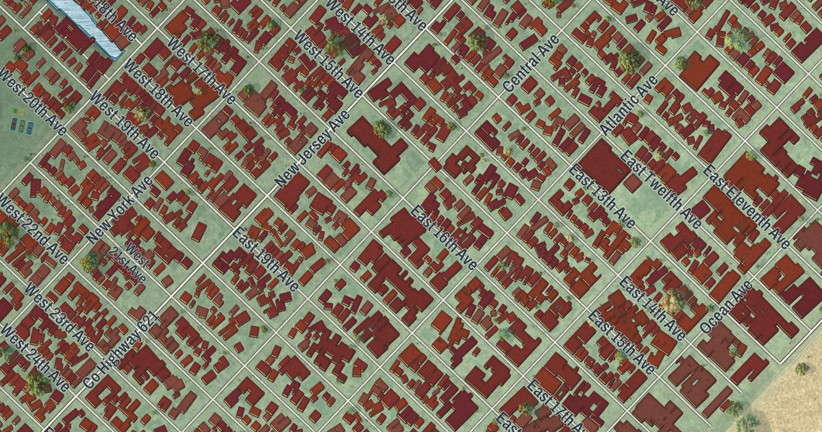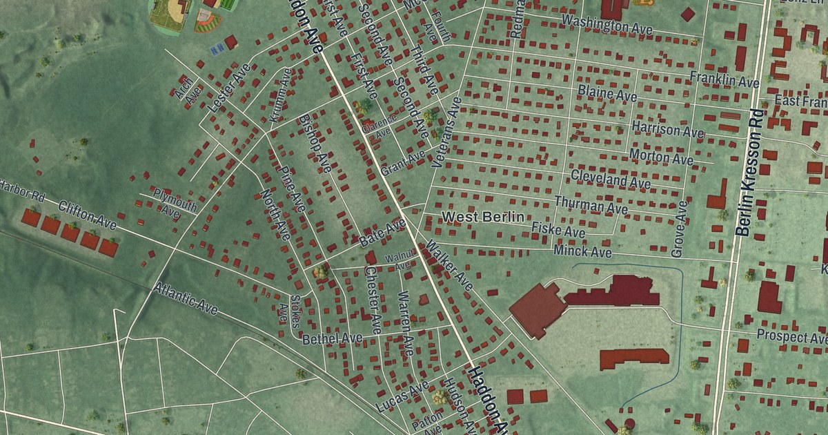
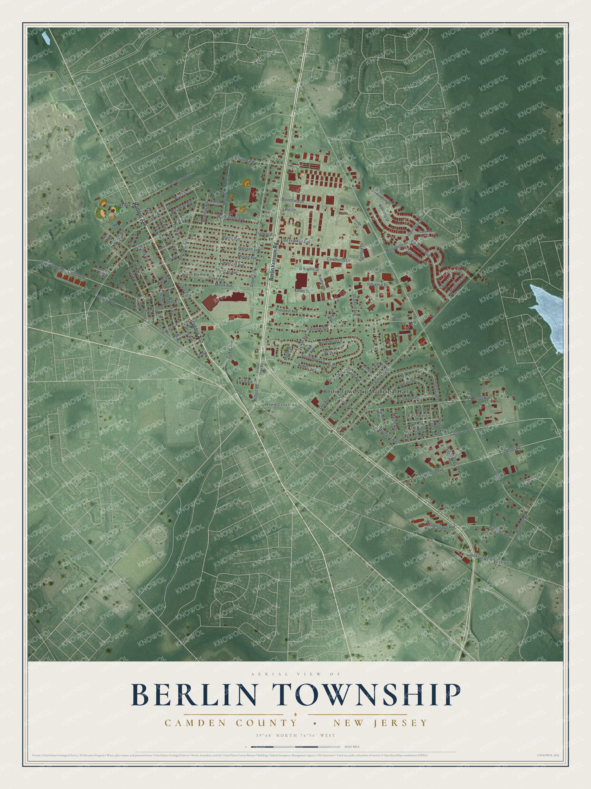
This beautifully detailed map of Berlin, Camden County, New Jersey was created in 2026 using aerial imagery combined with modern topographical, census, street and landmark data. It’s a one-of-a-kind view of Berlin that combines accurate data with a vintage aesthetic. The map shows every building in its true location, many of the roads carry their names, and the shaded topographic relief shows the shape of the land.
Explore an aerial view of Berlin, Camden County, New Jersey
On the map you’ll find Berlin Township Municipal Hall, Bishops, East Berlin, Reed Crossing, and West Berlin, along with Haddon Avenue, Berlin Kresson Road, Cushman Avenue, Milford Road, Crowfoot Road, Cooper Road, Taunton Avenue, and more. If you look closely you can even find your house accurately drawn in its correct location. Zoom in on the preview to look for yours.
Take a closer look at the Berlin, Camden County map
Names on this map
These names are printed on this map.
Places: Berlin Township Municipal Hall, Bishops, West Berlin, East Berlin and Reed Crossing.
Streets and roads: Haddon Avenue, Berlin Kresson Road, Cushman Avenue, Milford Road, Crowfoot Road, Cooper Road, Taunton Avenue, Franklin Avenue, Chestnut Avenue, Fairview Avenue, Walker Avenue, Grove Avenue.
More street names, A to Z
Acorn Road, Allied Parkway, Andes Trail, Arch Avenue, Astor Avenue, Atlantic Avenue, Bate Avenue, Bethel Avenue, Bishop Avenue, Blaine Avenue, Bloomfield Drive, Boyer Avenue, Bradford Drive, Briarwood Road, Cedar Avenue, Centaurian Drive, Chester Avenue, Clarence Avenue, Cleveland Avenue, Clifton Avenue, Clover Avenue, Collings Avenue, Columbus Court, Commerce Lane, Copley Circle, Cross Keys Road, D'Angelo Drive, Day Avenue, Dill Avenue, East Franklin Avenue, Edgewood Avenue, Elm Avenue, Fairfax Avenue, Fern Circle, First Avenue, Fiske Avenue, Fourth Avenue, Gainsboro Drive, Genova Drive, Grant Avenue, Harker Avenue, Harrison Avenue, Hazel Avenue, Hill Avenue, Holly Drive, Hopewell Road, Hudson Avenue, Industrial Drive, Jackson Road, Jefferson Avenue, Katherine Avenue, Kelley Drive, Krumm Avenue, Larch Avenue, Lenz Lane, Lester Avenue, Lincoln Avenue, Lucas Avenue, Luke Avenue, Magnolia Avenue, Maple Drive, Marion Avenue, McClellan Avenue, Minck Avenue, Montebello Drive, Morton Avenue, Mount Vernon Avenue, Mulhouse Drive, Myrtle Avenue, North Avenue, North Rose Lane, Oak Avenue, Oak Court, Oak Lane, Old Egg Harbor Road, Park Avenue, Patton Avenue, Peppermill Road, Piedmont Boulevard, Pine Avenue, Pinedge Court, Pinedge Drive, Plymouth Avenue, Powell Avenue, Prospect Avenue, Ravenna Drive, Redman Avenue, Remington Drive, Robin Lane, Second Avenue, South Rose Lane, Spruce Avenue, Stokes Avenue, Stratford Avenue, Taranto Lane, Third Avenue, Thurman Avenue, Toomer Avenue, Veterans Avenue, Vienna Lane, Walnut Avenue, Warren Avenue, Washington Avenue, West Collings Avenue, Zulker Avenue.
See it on a wall
The Berlin Township, Camden County map as an 18 x 24 inch print in a black frame.

This beautifully detailed map of Berlin, Camden County makes an attractive addition to your office, library, or den, and it can even be used to teach children the geography and history of the area. It also makes a great gift for someone who left Berlin and still calls it home. When you’re done exploring, click here to get your copy of the Berlin, Camden County map.