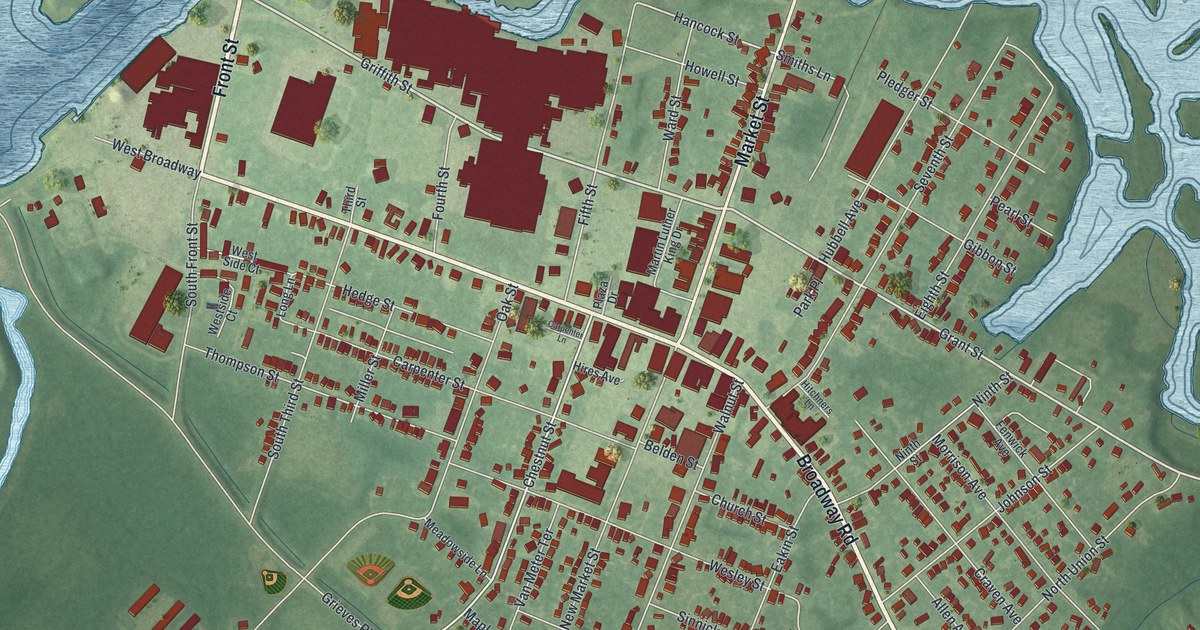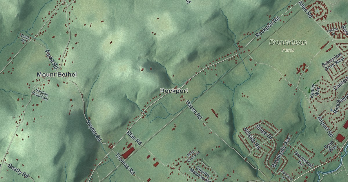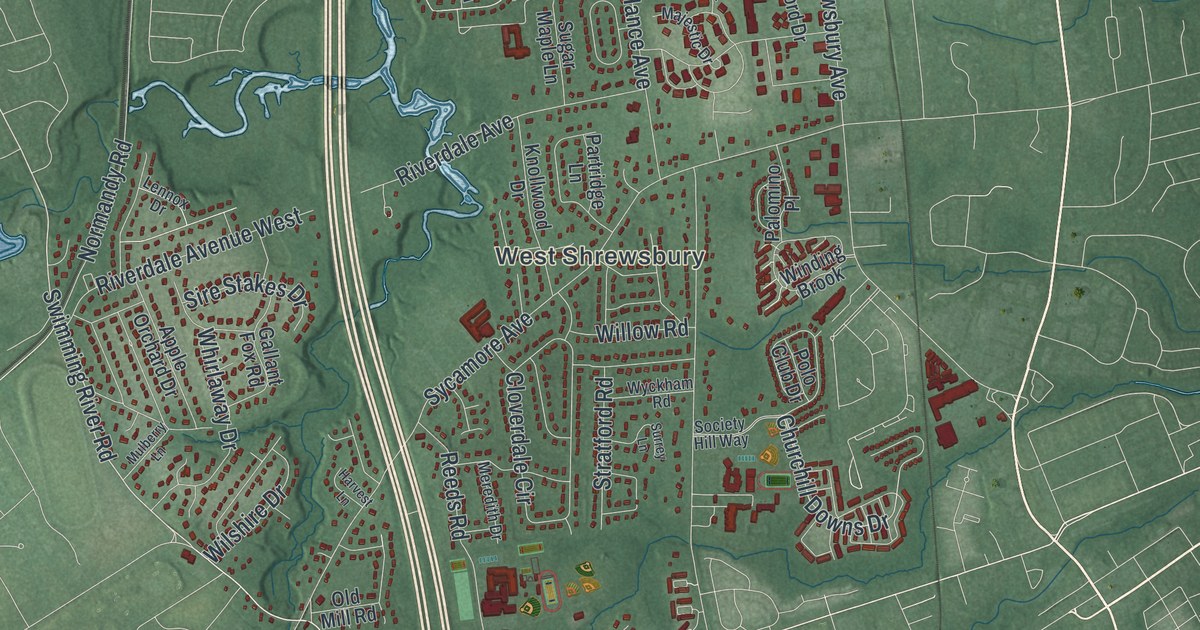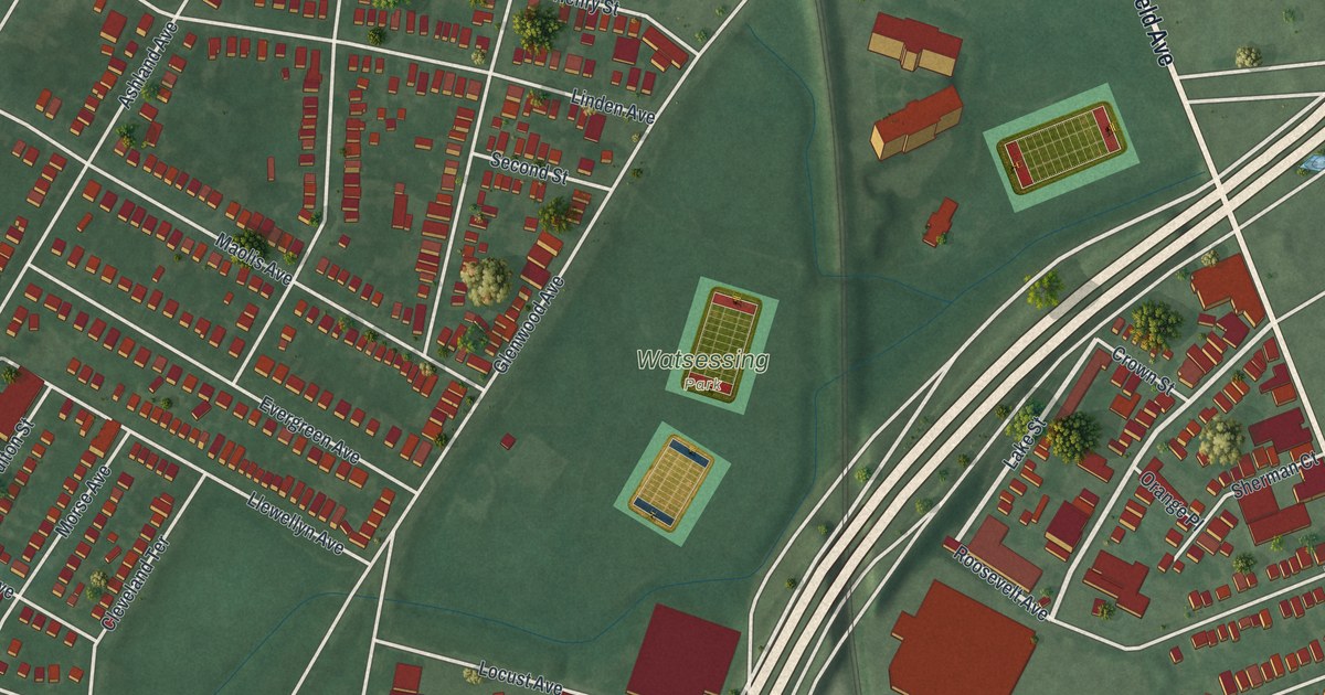
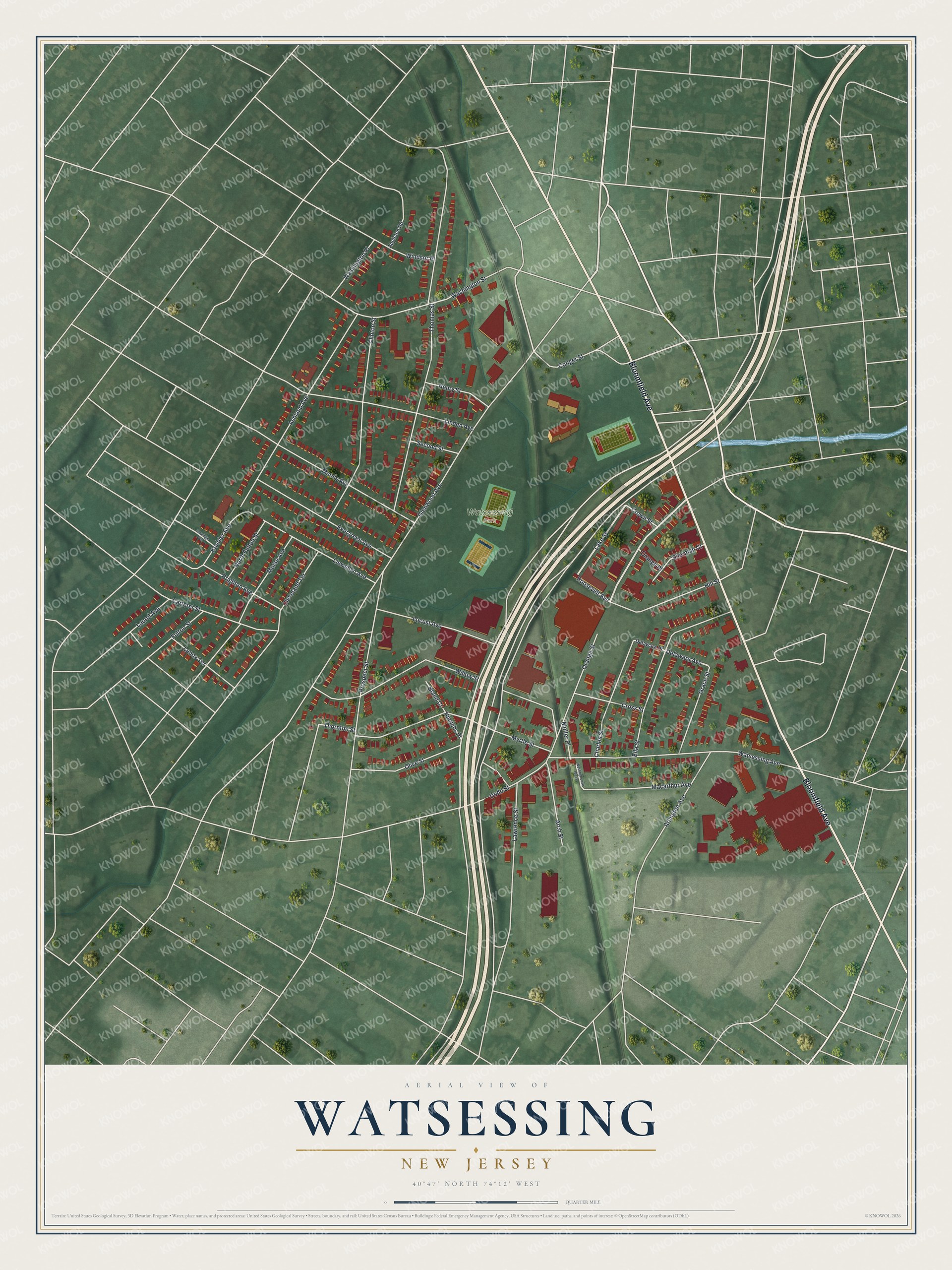
This beautifully detailed map of Watsessing, New Jersey was created in 2026 using aerial imagery combined with modern topographical, census, street and landmark data. It's a modern aerial view of Watsessing in Essex County, New Jersey, that combines modern data with a vintage aesthetic. The roads feature printed names, and if you look closely you can find your exact house accurately shown in its correct location.
Explore an aerial view of Watsessing, New Jersey
On this map you'll find Watsessing Park, Bloomfield Avenue, Orange Street, Lake Street, Roosevelt Avenue, Delaware Avenue, Glenwood Avenue, Thomas Street, Willow Street, Watsessing Avenue, Ashland Avenue, Clinton Street, and more. Each red shape is a building, so zoom in on the preview and look for yours.
Watsessing has a story worth telling. Old papers from the 1600s and 1700s called the plain where Watsessing stands Watsesson or Wardsesson, a name thought to be a Native word that settlers spelled as near to its sound as they could. Its wilderness became farms and later factories such as the General Electric works, and the old name, changed to Watsessing, lived on in an Essex County park and a railroad station. That's from the 1940 Dod family history.
Watsessing is a community in Essex County. The Census Bureau counted 8,078 people here in 2020. The map prints the town name in its title panel, with the coordinates below it.
Take a closer look at the Watsessing map
Names on this map
These names are printed on this map.
Places: Watsessing Park.
Streets and roads: Bloomfield Avenue, Orange Street, Lake Street, Roosevelt Avenue, Delaware Avenue, Glenwood Avenue, Thomas Street, Willow Street, Watsessing Avenue, Ashland Avenue, Clinton Street, Myrtle Street.
More street names, A to Z
Appleton Road, Arch Street, Arlington Avenue, Bland Court, Brighton Avenue, Carteret Street, Charles Street, Cleveland Terrace, Conger Street, Coolidge Avenue, Cross Street, Crown Street, Delaware Place, Dodd Street, Ella Street, Evergreen Avenue, Fulton Street, Grace Street, Henry Street, Hill Street, Hinrichs Place, Koehler Avenue, Laurel Avenue, Lawrence Street, Lenox Terrace, Linden Avenue, Llewellyn Avenue, Locust Avenue, Macarthur Avenue, Maolis Avenue, Molter Place, Morse Avenue, North Fulton Street, Olive Street, Orange Place, Prospect Street, Second Street, Sherman Court, Thornton Street, Washington Place, Washington Street, Westinghouse Plaza, Windsor Place.
See it on a wall
The Watsessing map as a framed print. Swipe for more.


Created by KNOWOL in 2026. The buildings are small red shapes, the roads carry their printed names, and shaded relief shows the shape of the land. The title panel reads "AERIAL VIEW OF WATSESSING, NEW JERSEY" with 40°47' NORTH 74°12' WEST.
It looks right in a kitchen, an office or a den, and it's a gift for anyone who grew up in Watsessing or moved away. Open the preview and find your street. See sizes and frames for the Watsessing map.