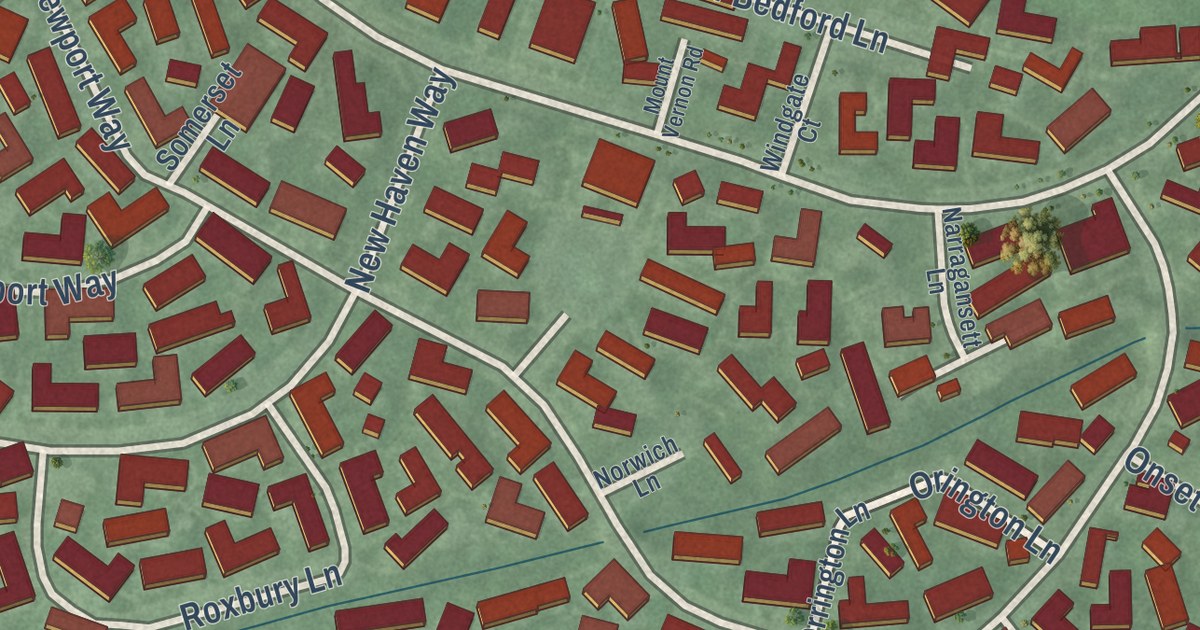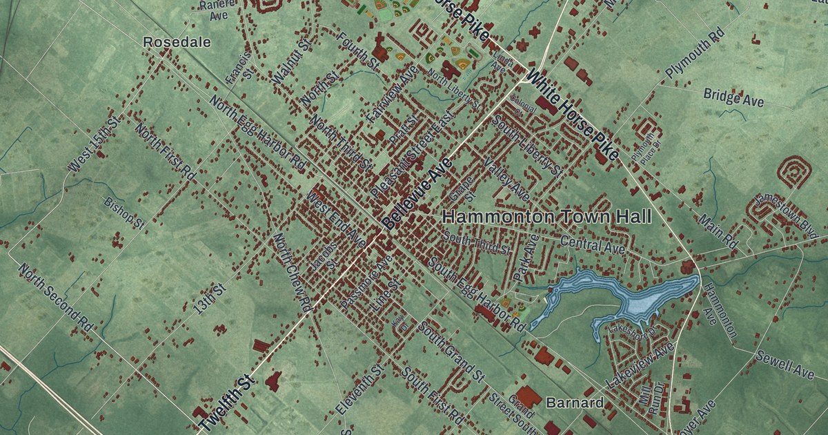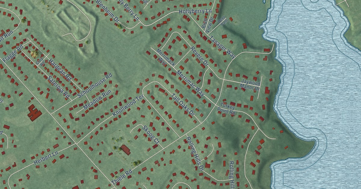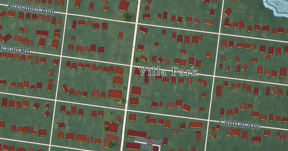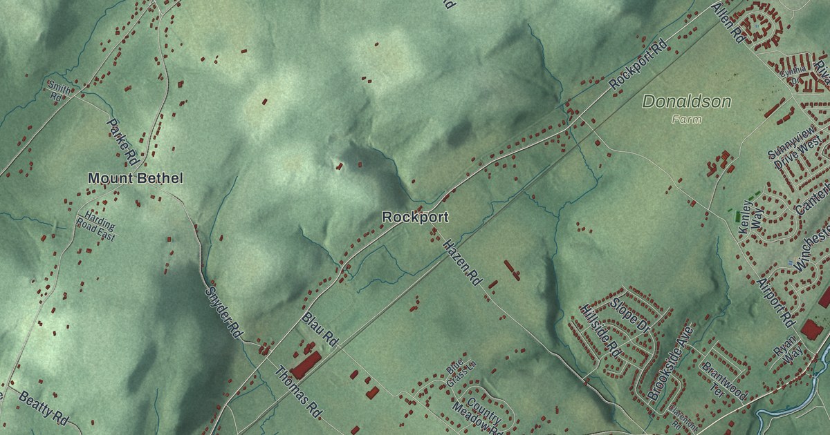
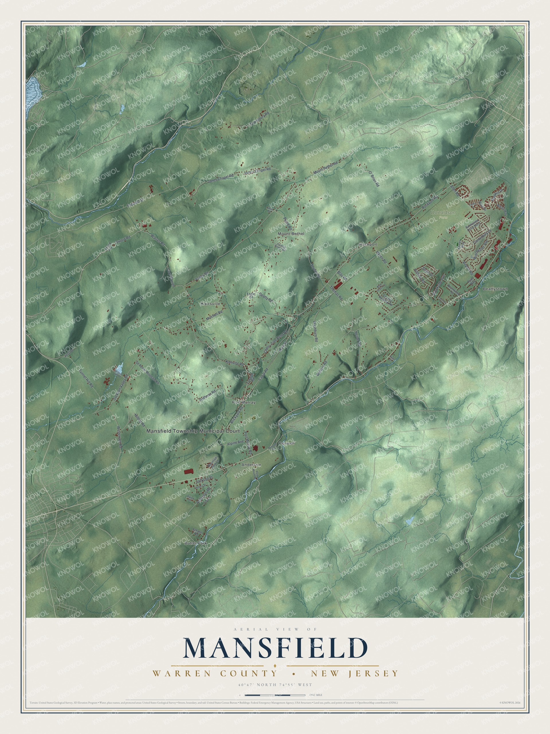
This beautifully detailed map of Mansfield, Warren County, New Jersey was created in 2026 using aerial imagery combined with modern topographical, census, street and landmark data. It’s a one-of-a-kind view of Mansfield that combines accurate data with a vintage aesthetic. The map shows every building in its true location, many of the roads carry their names, and the shaded topographic relief shows the shape of the land.
Explore an aerial view of Mansfield, Warren County, New Jersey
On the map you’ll find Anderson, Beattystown, Butler Park, Karrsville, and Mount Bethel, along with Mansfield Township Municipal Court, Rockport Road, Main Street, Port Murray Road, Brickyard Road, and more. If you look closely you can even find your house accurately drawn in its correct location. Zoom in on the preview to look for yours.
Did You Know?
The township honors William Murray, the 1st Earl of Mansfield. It began on May 30, 1754, as Mansfield-Woodhouse Township, carved from Greenwich Township. At that time the land still belonged to Sussex County. It joined the new Warren County in 1824.
Take a closer look at the Mansfield, Warren County map
Names on this map
These names are printed on this map.
Places: Mansfield Township Municipal Court, Donaldson Farm, Anderson, Beattystown, Butler Park, Karrsville, Mount Bethel, Penwell, Port Murray and Rockport.
Streets and roads: Rockport Road, Main Street, Port Murray Road, Brickyard Road, Cary Warren, Warren Road, Mount Bethel Road, Valley Road, Watters Road, Jackson Valley Road, Canal Road, Hoffman Road.
More street names, A to Z
Adams Street, Airport Road, Allen Road, Alpine Avenue, Anderson Road, Axford Avenue, Baldwin Drive, Beatty Road, Blau Road, Blue Grass Lane, Brantwood Terrace, Brookside Avenue, Canterbury Lane, Cherry Tree Bend Road, Claremont Road, Country Meadow Road, Cynthia Drive, De Remer Mountain Road, Engle Road, Frome Street, Gulick Street, Harding Road East, Hazen Road, Heiser Road, Hillside Road, Hilltop Road, Jackson Street, Jane's Chapel Road, Janes Chapel Road, Jost Drive, Karrville Road, Kenley Way, Mitchell Road, Mountain View Lane, Nikitin Way, O' Brian Road, Oxford Road, Parke Road, Penwell Road, Pequest Street, Point Mount Road, Riva Drive, River Court, Ryan Way, Schafer Road, Slope Drive, Smith Road, Snyder Road, Sunnyview Drive West, Thomas Road, Townsbury Road, Towpath Road, Tunnel Hill Road, Washburn Road, Westervelt Road, Willever Lake Road, Winchester Avenue.
See it on a wall
The Mansfield, Warren County map as an 18 x 24 inch print in a black frame.

This beautifully detailed map of Mansfield, Warren County makes an attractive addition to your office, library, or den, and it can even be used to teach children the geography and history of the area. It also makes a great gift for anyone with Mansfield roots. When you’re done exploring, click here to get your copy of the Mansfield, Warren County map.