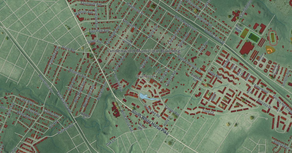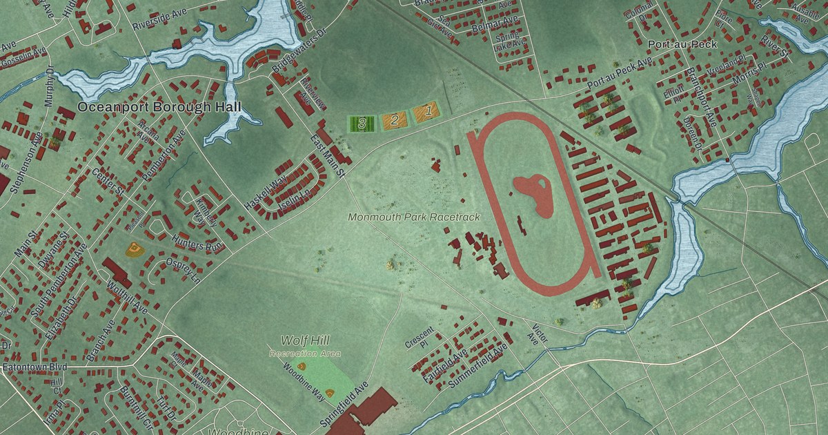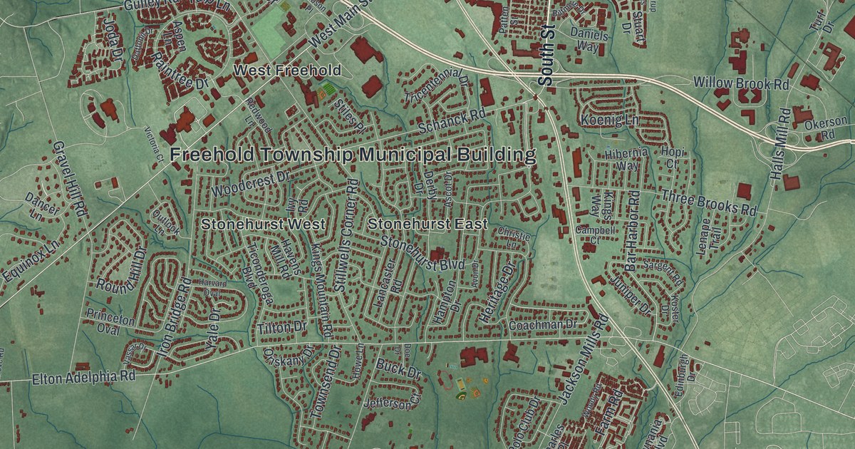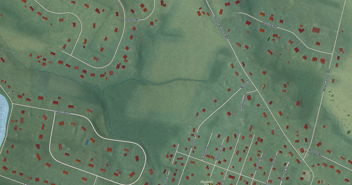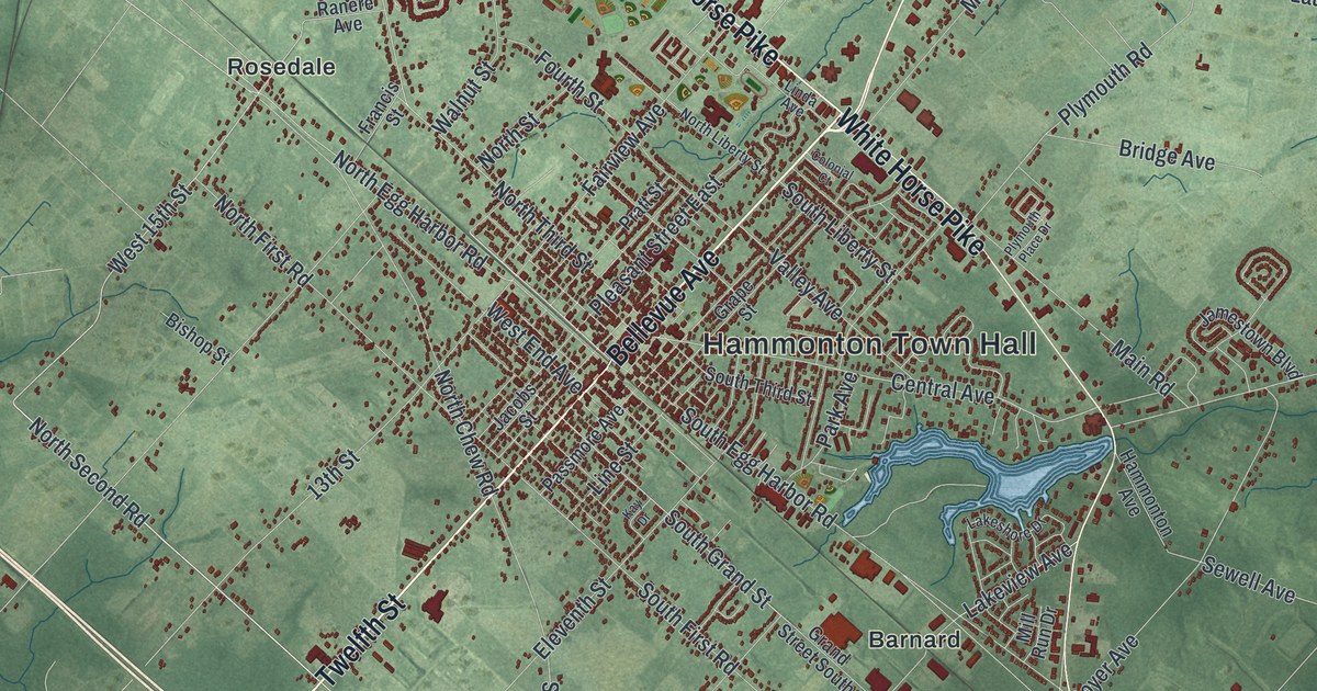
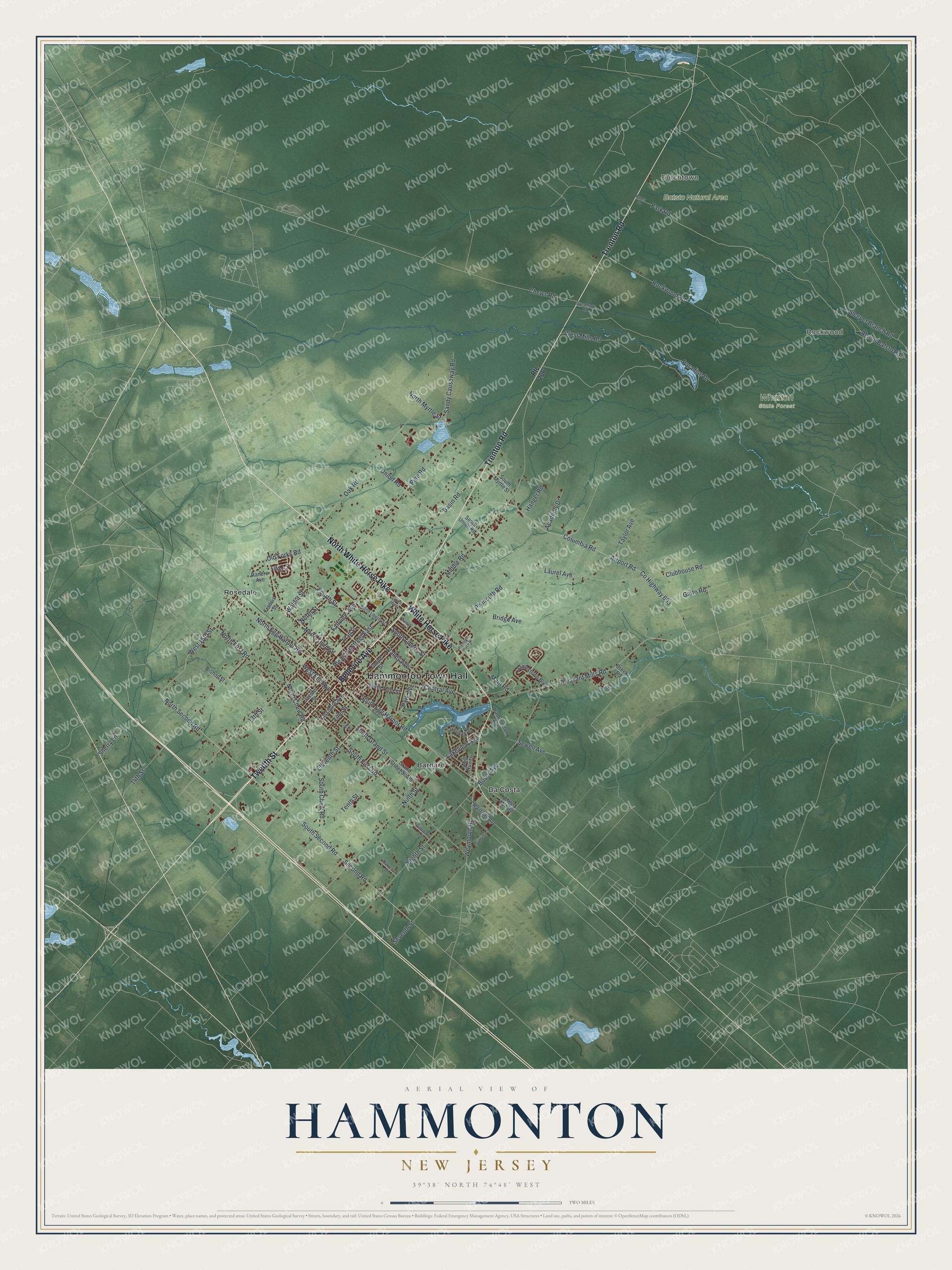
This beautifully detailed map of Hammonton, New Jersey was created in 2026 using aerial imagery combined with modern topographical, census, street and landmark data. It’s a one-of-a-kind view of Hammonton that combines accurate data with a vintage aesthetic. The map shows every building in its true location, many of the roads carry their names, and the shaded topographic relief shows the shape of the land.
Explore an aerial view of Hammonton, New Jersey
On the map you’ll find Hammonton Town Hall, Rockwood, Dutchtown, Batsto Natural Area, Wharton State Forest, Barnard, Da Costa, and Rosedale, along with Twelfth Street, North White Horse Pike, Bellevue Avenue, Trenton Road, and more. If you look closely you can even find your house accurately drawn in its correct location. Zoom in on the preview to look for yours.
Did You Know?
William Coffin and his family came here in 1812 to run a sawmill. Coffin bought the land and mill in 1814 and opened a glass factory in 1817. The settlement was named Hammondton for his son, John Hammond Coffin. Over time the d dropped out of the name.
Take a closer look at the Hammonton map
Names on this map
These names are printed on this map.
Places: Hammonton Town Hall, Rockwood, Dutchtown, Batsto Natural Area, Wharton State Forest, Barnard, Da Costa and Rosedale.
Streets and roads: Twelfth Street, North White Horse Pike, Bellevue Avenue, Trenton Road, White Horse Pike, North Egg Harbor Road, North Second Road, Park Road, West 15th Street, South Grand Street, Second Road, South Second Road.
More street names, A to Z
13th Street, 14th Street, Academy Drive, Airport Road, Atsion Batsto Road, Basin Road, Bishop Street, Bowling Lane, Boyer Avenue, Bridge Avenue, Central Avenue, Chews Road, Clubhouse Road, Colonial Court, Columbia Road, County Highway 693, Creek Road, Daves Road, Eighth Street, Eleventh Street, Fairview Avenue, Fourth Street, Francis Street, Gatto Road, Giordano Lane, Grand Street South, Grape Street, Hammonton Avenue, Hanger Road, Jacobs Street, Jamestown Boulevard, Kay Drive, Lahn Lane, Lakeshore Drive, Lakeview Avenue, Laurel Avenue, Linda Avenue, Line Street, Main Road, Middle Road, Mill Run Drive, Moss Mill Road, Ninth Street, North Chew Road, North First Road, North Liberty Street, North Myrtle Street, North Street, North Third Street, Oak Road, Oakwood Drive, Old Forks Road, Paradise Drive, Park Avenue, Passmore Avenue, Pine Road, Pleasant Mills Road, Pleasant Street East, Plymouth Place Drive, Plymouth Road, Pratt Street, Railroad Avenue, Ranere Avenue, Rockwood Road, Route 206, Sandy Causeway Road, Seventh Street, Sewell Avenue, Sherry Lane, Sleeper Branch Road, South Chew Road, South Egg Harbor Road, South First Road, South Liberty Street, South Myrtle Street, South Third Street, South Union Road, Sycamore Road, Taylor Avenue, Tenth Street, Union Road, Valley Avenue, Walnut Street, West End Avenue, West Mills Road, Weymouth Road.
See it on a wall
The Hammonton map as an 18 x 24 inch print in a black frame.

This beautifully detailed map of Hammonton makes an attractive addition to your office, library, or den, and it can even be used to teach children the geography and history of the area. It also makes a great gift for anyone who grew up in Hammonton or moved away. When you’re done exploring, click here to get your copy of the Hammonton map.