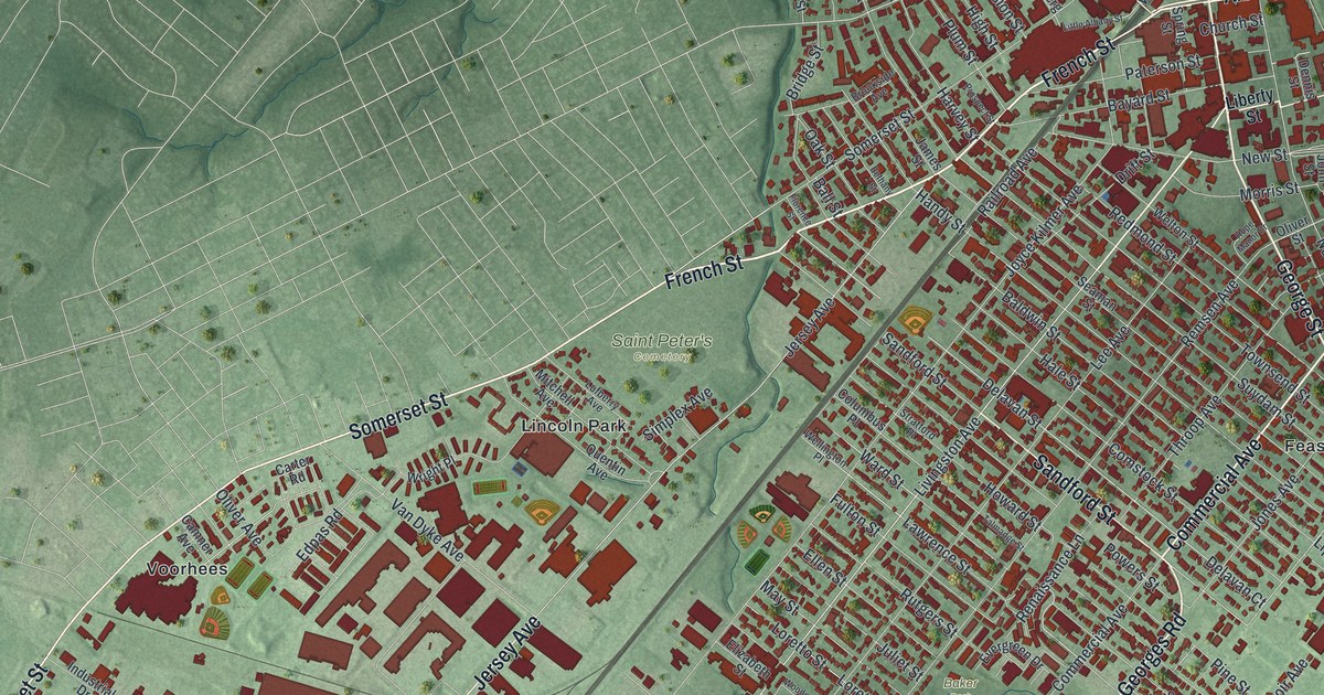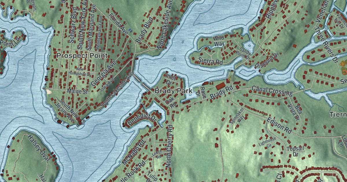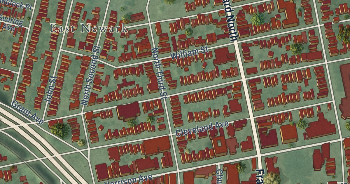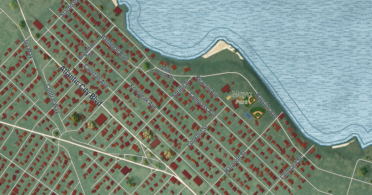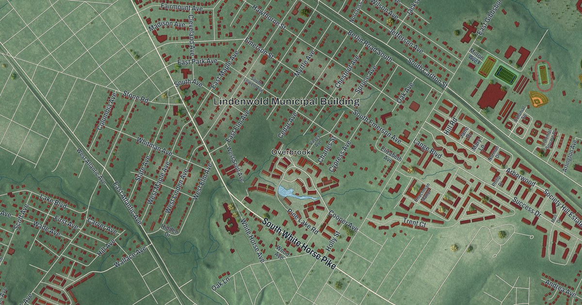
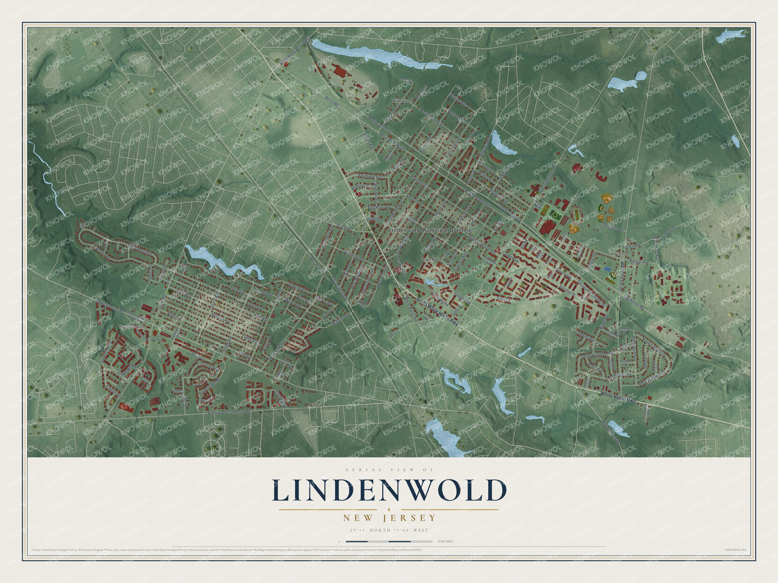
This beautifully detailed map of Lindenwold, New Jersey was created in 2026 using aerial imagery combined with modern topographical, census, street and landmark data. It’s a one-of-a-kind view of Lindenwold that combines accurate data with a vintage aesthetic. The map shows every building in its true location, many of the roads carry their names, and the shaded topographic relief shows the shape of the land.
Explore an aerial view of Lindenwold, New Jersey
On the map you’ll find Lindenwold Municipal Building, Brownsville, Kirkwood, Lucaston, and Overbrook, along with White Horse Pike, South White Horse Pike, Society Hill Estates Road, Pine Lake Road, Aston Martin Drive, East Atlantic Avenue, Success Drive, and more. If you look closely you can even find your house accurately drawn in its correct location. Zoom in on the preview to look for yours.
Did You Know?
Local resident Wimer Bedford found the word Lindenwold, meaning linden forest, in a German book he was reading. He proposed it as the name. Bedford hoped linden trees would line the borough’s streets, but officials picked cheaper trees. The borough formed from Clementon Township on April 23, 1929.
Take a closer look at the Lindenwold map
Names on this map
These names are printed on this map.
Places: Lindenwold Municipal Building, Brownsville, Kirkwood, Lucaston and Overbrook.
Streets and roads: White Horse Pike, South White Horse Pike, Society Hill Estates Road, Pine Lake Road, Aston Martin Drive, East Atlantic Avenue, Success Drive, Egg Harbor Road, Wallace Avenue, South Carlton Street, Berlin Road, Walnut Avenue.
More street names, A to Z
Alkmonton Road, Aman Avenue, Andrea Avenue, Arborwood, Arlington Avenue, Ashbourne Avenue, Ashton Avenue, Ashton Road, Aston Avenue, Bangor Avenue, Beechwood Avenue, Bentley Road, Berlin Road North, Berlin Road South, Bilper Avenue, Blackwood Clementon Road, Bosworth Avenue, Bryant Avenue, Carver Avenue, Cedar Avenue, Central Avenue, Chadwick Road, Charles Street, Chatham Drive, Chelsea Court, Chestnut Avenue, Chews Landing Clem Road, Chews Landing Road, Chiswick Drive, Cleveland Avenue, Coachman Manor, Colonial Square, Colonial Square Place, Columbia Avenue, Cooper Avenue, Cottage Avenue, Countess Avenue, Crossing Way, Crowland Avenue, Cypress Avenue, Dana Street, Delahaye Road, Derby Avenue, Dover Drive, Earl Road, East Elm Avenue, East Gibbsboro Road, East Linden Avenue, East Maple Avenue, East Park Avenue, Eighth Avenue, Elizabeth Avenue, Elm Avenue, Emerson Street, Fairmount Avenue, Fifth Avenue, Finistere Road, First Avenue, Fourth Avenue, Georgetown Road, Greenwood Drive, Hawthorne Street, Healy Place, Hidden Drive, Highland Avenue, Hill Avenue, Hill Road, Holly Street, Homesite Avenue, Jackson Avenue, Jaguar Road, Jane Drive, Jeanette Avenue, Jefferson Avenue, Joel Court, Kennedy Avenue, Lake Boulevard, Lakeview Avenue, Lancia Place, Lands End Road, Lange Boulevard, Laurel Landing, Laurel Road, Linden Hill Road, Locust Avenue, Madison Avenue, Mary Lane, Matt Drive, Milton Avenue, Myrtle Avenue, New Freedom Road, Ninth Avenue, Norcross Road, Norcross Street, Norman Drive, North Carlton Street, North Cuthbert Drive, North Holland Street, North Taylor Street, Oak Avenue, Oak Lane, Parker Avenue, Philip Drive, Pine Grove Avenue, Pinelawn Avenue, Roosevelt Avenue, Rosamond Avenue, Scott Avenue, Second Avenue, Seventh Avenue, Sixth Avenue, South Avenue, South Brighton Avenue, South Cuthbert Drive, South Emerson Avenue, South Lowell Avenue, South Winthrop Avenue, Spring Garden Street, Spruce Avenue, State Avenue, Stone Road, Sussex Drive, Sutton Avenue, Tenth Avenue, Third Avenue, Timber Creek Road, Trent Court, United States Avenue, Vasey Avenue, Wade Avenue, Wayne Road, West Atlantic Avenue, West Elm Avenue, West Linden Avenue, West Maple Avenue, West Park Avenue, West Scott Avenue, Westwood Manor Apartments Road, White Horse Avenue, White Horse Road West, Whitman Avenue, Whittier Avenue, Wilson Avenue, Wood Avenue, Woodland Avenue, Wright Avenue.
See it on a wall
The Lindenwold map as an 18 x 24 inch print in a black frame.

This beautifully detailed map of Lindenwold makes an attractive addition to your office, library, or den, and it can even be used to teach children the geography and history of the area. It also makes a great gift for anyone who grew up in Lindenwold or moved away. When you’re done exploring, click here to get your copy of the Lindenwold map.