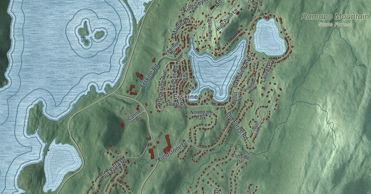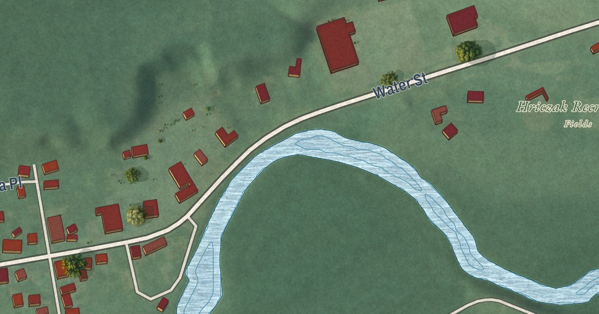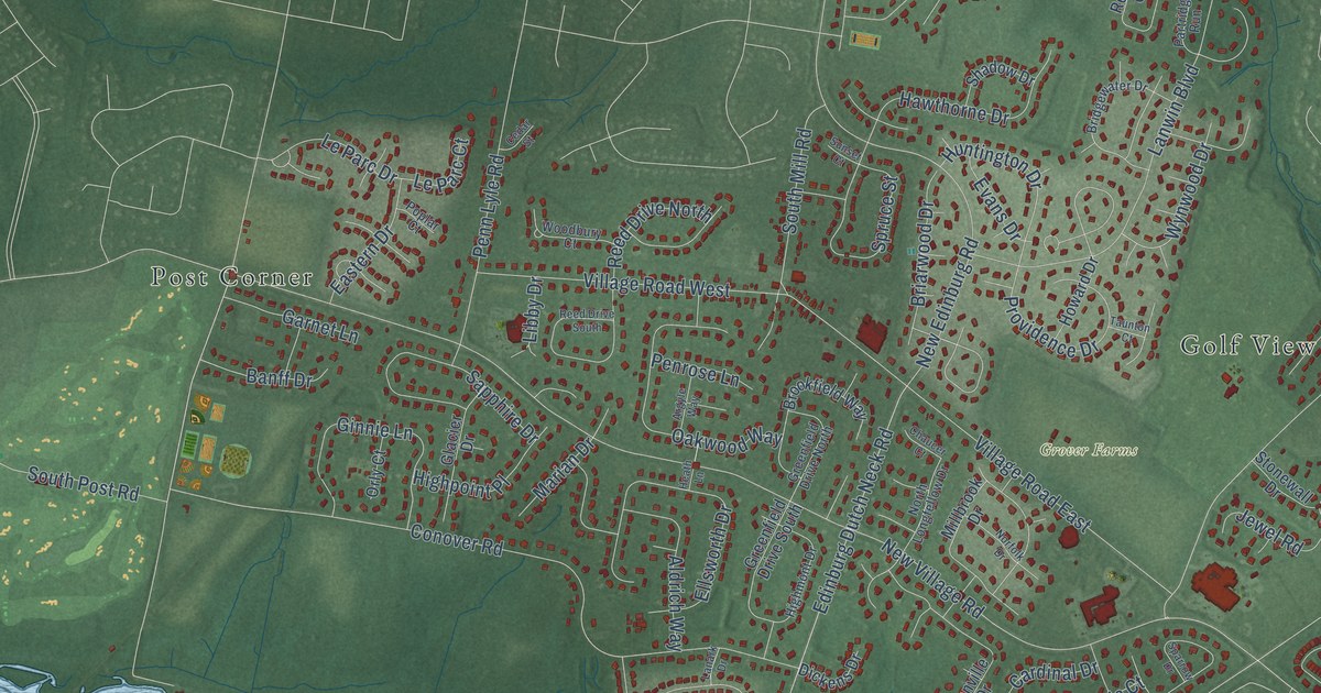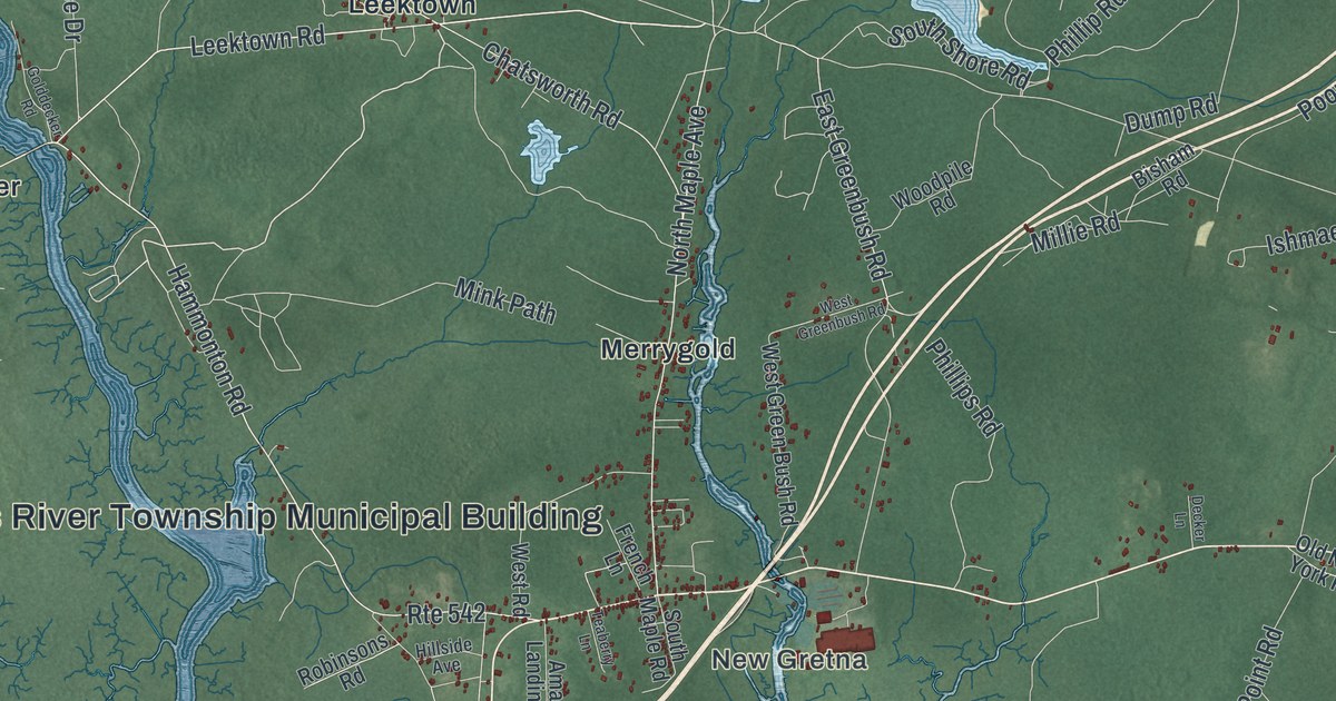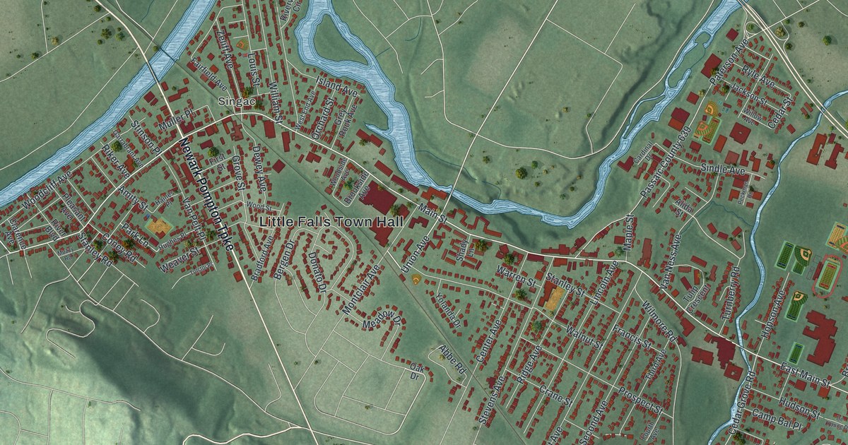
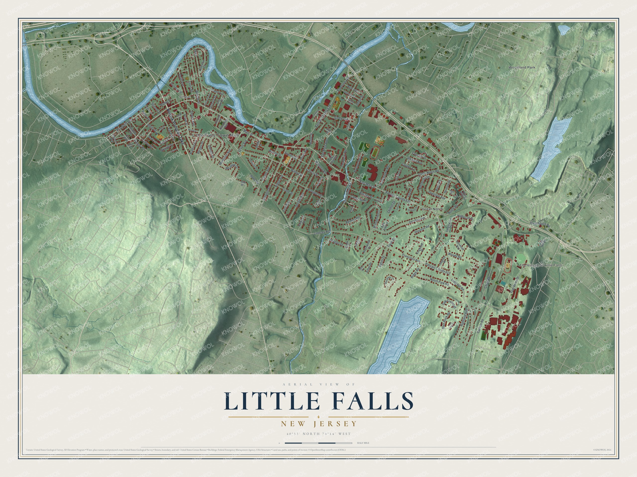
This beautifully detailed map of Little Falls, New Jersey was created in 2026 using aerial imagery combined with modern topographical, census, street and landmark data. It’s a one-of-a-kind view of Little Falls that combines accurate data with a vintage aesthetic. The map shows every building in its true location, many of the roads carry their names, and the shaded topographic relief shows the shape of the land.
Explore an aerial view of Little Falls, New Jersey
On the map you’ll find Little Falls Town Hall, Singac, The Village at Little Falls, Great Notch, Woodland Park, and Passaic County 631, along with Newark Pompton Turnpike, Main Street, Great Notch Road, East Main Street, Lindsley Road, Long Hill Road, and more. If you look closely you can even find your house accurately drawn in its correct location. Zoom in on the preview to look for yours.
Did You Know?
Little Falls is named for a waterfall where the Passaic River passes a dam near Beattie Mill. In 1711, seven Bergen Dutch settlers teamed up to start farming here, the first Europeans to settle the area. Later the Morris Canal, a key trade route until 1925, wound through the township.
Take a closer look at the Little Falls map
Names on this map
These names are printed on this map.
Places: Little Falls Town Hall, Singac, The Village at Little Falls, Great Notch and Woodland Park.
Streets and roads: Newark Pompton Turnpike, Main Street, Great Notch Road, East Main Street, Lindsley Road, Passaic County 631, Long Hill Road, Cedar Grove Road, Turnberry Road, Notch Road, Grove Street, Cedar Street.
More street names, A to Z
Abbe Road, Alida Street, Amity Street, Bergen Drive, Birch Road, Bradford Avenue, Brook Court, Brookside Avenue, Browertown Road, Camp Bal Place, Capalbo Avenue, Cardinal Drive, Carlisle Road, Center Avenue, Chilton Drive, Clarence Avenue, Clove Road, Colonial Drive, Coney Road, Crane Street, Dewey Avenue, De Young Drive, Donato Drive, Douglas Drive, Ethel Drive, Fairfield Avenue, First Avenue, First Street, Fourth Avenue, Francisco Avenue, Francis Street, Garrabrant Avenue, Glen Rock Road, Greenbriar Court, Grey Rock Avenue, Haines Place, Hemlock Road, High Court, Highland Avenue, Highpoint Drive, Hillcrest Drive, Hopson Avenue, Houston Road, Hudson Street, Hughes Place, Inwood Drive, Ironwood Way, Island Avenue, Jackson Street, Jacobus Avenue, Jean Drive, Kingwood Drive, Lincoln Avenue, Louis Street, Lower Notch Road, Maple Street, Martin Place, Meadow Drive, Montclair Avenue, Morningside Circle, Muller Place, Muzzy Road, Notchcroft Drive, Notch Park Road, Oak Crescent, Oak Drive, Oak Hill Road, Oak Tree Lane, Orchard Street, Overlook Avenue, Park Lane, Parkway, Passaic County 612, Passaic County 639, Paterson Avenue, Peckman Road, Pleasant Avenue, Prospect Street, Reiners Road, Ridge Avenue, Ridge Road, Riker Avenue, River Boulevard, Riverview Circle, Robinwood Drive, Rustic Ridge Road, Ryle Avenue, Second Avenue, Shady Lane, Sigtim Drive, Sindle Avenue, Sisco Lane, Stanley Road, Stanley Street, Stephen Place, Stevens Avenue, Stewart Avenue, Stinson Place, Stone Ridge Court, Tanglewood Drive, Third Avenue, Tivoli Court, Tolstoi Place, Tulip Crescent, Union Avenue, Van Ness Avenue, Van Pelt Place, Viewmont Terrace, Villa Road, Walnut Street, Warren Street, Weaver Street, West End Avenue, William Street, Willow Avenue, Wilmore Road, Woodcliff Avenue, Woodlawn Terrace, Woodside Avenue, Woods Road, Wood Street, Yogi Berra Drive, Yolanda Drive, Zeliff Avenue.
See it on a wall
The Little Falls map as an 18 x 24 inch print in a black frame.

This beautifully detailed map of Little Falls makes an attractive addition to your office, library, or den, and it can even be used to teach children the geography and history of the area. It also makes a great gift for anyone who grew up in Little Falls or moved away. When you’re done exploring, click here to get your copy of the Little Falls map.